Category Archives: Non-Fiction & Reference
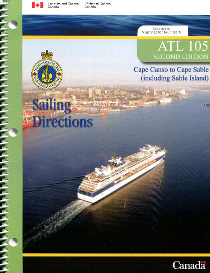
ATL105E Cape Canso to Cape Sable (including Sable Island), 2014 – CHS Sailing Directions
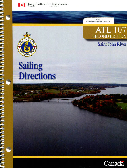
ATL107E Saint John River, 2009 – CHS Sailing Directions
195 Baltic Sea – Western-most reach
Official charts for the coast of Denmark produced by the Danish Hydrographic Office. The charts are ordered upon customer demand, therefore please contact us if you require the charts urgently.For any further information, you can contact maritime@stanfords.co.uk.Plan included in this chart:- Indsejling til Marstal
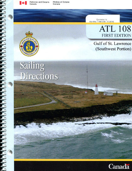
ATL108E Gulf of St. Lawrence (Southwest Portion), 2006 – CHS Sailing Directions
196 Baltic Sea – Femern Baelt
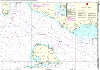
Official charts for the coast of Denmark produced by the Danish Hydrographic Office. The charts are ordered upon customer demand, therefore please contact us if you require the charts urgently.For any further information, you can contact maritime@stanfords.co.uk.Plan included in this chart:- Rรธdbyhavn 1:12,500
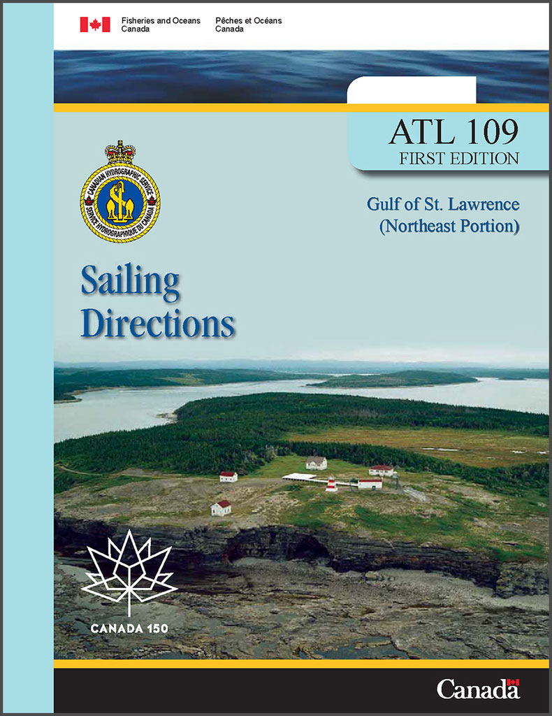
ATL109E Gulf of St. Lawrence (Northeast Portion), 2006 – CHS Sailing Directions
197 Baltic Sea – Gedser Rev and Kadetrenden
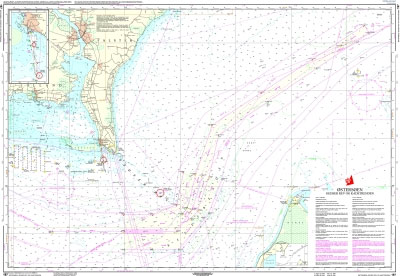
Official charts for the coast of Denmark produced by the Danish Hydrographic Office. The charts are ordered upon customer demand, therefore please contact us if you require the charts urgently.For any further information, you can contact maritime@stanfords.co.uk.Plan included in this chart:- Indsejling til Gedser 1:25,000- Gedser 1:8,000
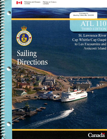
ATL110E St. Lawrence River, Cap Whittle/Cap Gaspรฉ to Les Escoumins and Anticosti Island, 2011
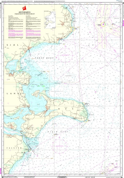
198 Baltic Sea – Faxe Bugt og Hjelm Bugt
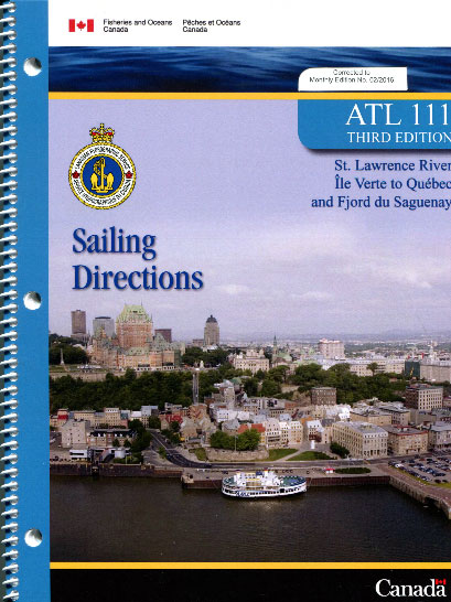
ATL111E St. Lawrence River, รle Verte to Quรฉbec and Fjord du Saguenay, 2007 – CHS Sailing Directions
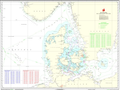
Chart C – Denmark with Surrounding Waters
Official charts for the coast of Denmark produced by the Danish Hydrographic Office. The charts are ordered upon customer demand, therefore please contact us if you require the charts urgently.For any further information, you can contact maritime@stanfords.co.uk.
Chart D – Maritime Boundaries of Denmark
P244 Juan de Fuca Strait to Strait of Georgia – CHS Tidal Current Atlas
Tidal Current Atlases present a comprehensive view of the hourly rate and direction of major tidal currents within specific coastal regions of Canada.The Atlases use arrows to indicate the direction and the velocity of surface currents. They are to be used in conjunction with the Canadian Tide and Current Tables provided annually by the Canadian
P252 Canadian Tide Manual
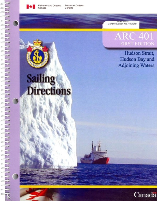
ARC401E Hudson Strait, Hudson Bay and Adjoining Waters, 2009 – CHS Sailing Directions
163 Smalandsfarvandet – Guldborg Sund
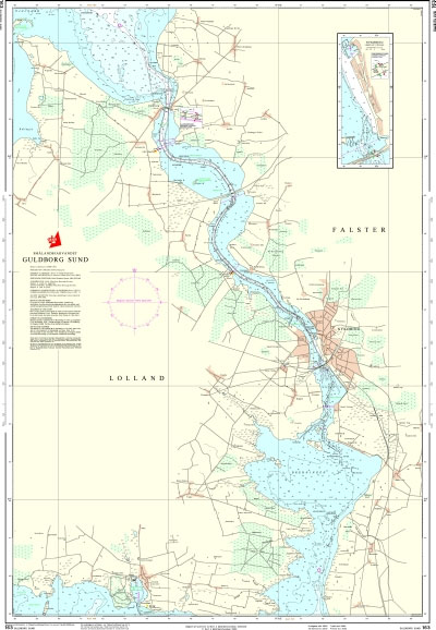
Official charts for the coast of Denmark produced by the Danish Hydrographic Office. The charts are ordered upon customer demand, therefore please contact us if you require the charts urgently.For any further information, you can contact maritime@stanfords.co.uk.Plans included in this chart:- Nykรธbing F- Kong Frederik IXs Bros gennemsejlingsfag- Guldborgbroens gennemsejlingsfag
164 Smalandsfarvandet – Karrebaek Fjord
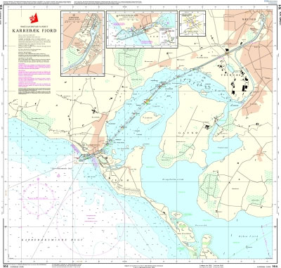
Official charts for the coast of Denmark produced by the Danish Hydrographic Office. The charts are ordered upon customer demand, therefore please contact us if you require the charts urgently.For any further information, you can contact maritime@stanfords.co.uk.Plans included in this chart:- Nรฆstved- Karrebรฆksminde- Nรฆstved Svingbro gennemsejlingsfag- Karrebรฆksmindebroens gennemsejlingsfag
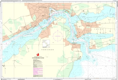
171 The Waters South of Funen (Fyn) – Svendborg Sund
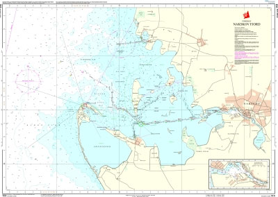
144 Storebaelt (Great Belt) – Nakskov Fjord
172 The Waters South of Funen (Fyn) – Rudkobing Lob
Official charts for the coast of Denmark produced by the Danish Hydrographic Office. The charts are ordered upon customer demand, therefore please contact us if you require the charts urgently.For any further information, you can contact maritime@stanfords.co.uk.


