Category Archives: Non-Fiction & Reference
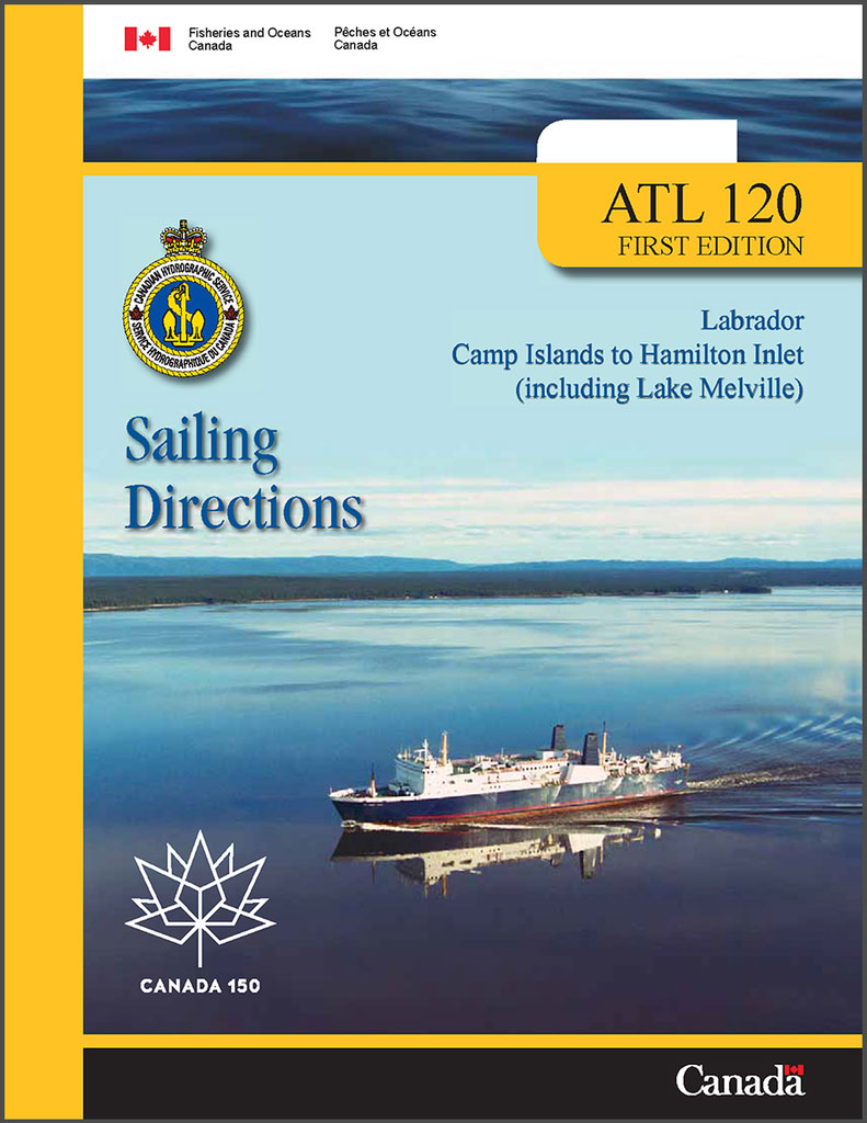
ATL120E Labrador, Camp Islands to Hamilton Inlet (including Lake Melville), 2004 – CHS Sailing Directions
P142 Lake Nipissing, 1987 – CHS Small Craft Guide

This First Edition of the Small Craft Guide to Lake Nipissing, 1987, has been prepared by J.H. Weller and was compiled from Canadian Government and other information sources. All relevant information published in Canadian Notices to Mariners up to and including weekly edition No. 10 of 1987 has been incorporated in this edition.
P875E Marine Environmental Handbook – Arctic Northwest
This document, published by the Department of Fisheries and Oceans, gives detailed information relating to Arctic marine environmental issues and concerns specifically in the Northwest Passage. The handbook describes areas of environmental sensitivity related to native wildlife species and also to the activities of northern residents. It is strongly recommended that this document be carried
CEN300E General Information on Great Lakes, 1996 – CHS Sailing Directions
Admiralty Chart 720 – Grenada, Saint George’s Harbour
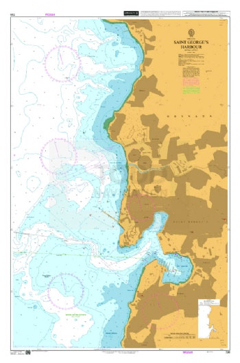
Admiralty standard nautical charts comply with Safety of Life at Sea (SOLAS) regulations and are ideal for professional, commercial and recreational use. Charts within the series consist of a range of scales, useful for passage planning, ocean crossings, coastal navigation and entering port.Standard Admiralty charts are folded to fit in a chart table drawer. If
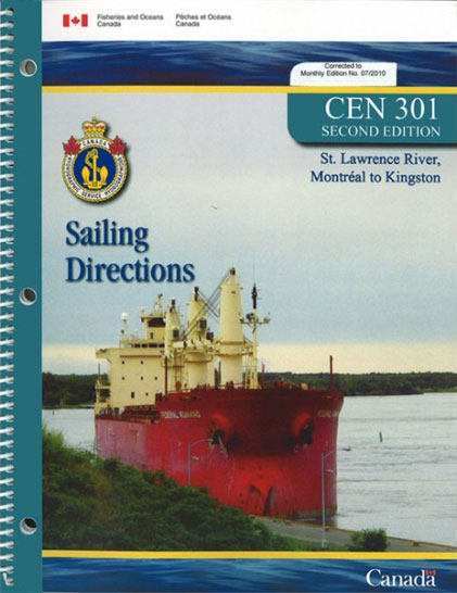
CEN301E St. Lawrence River, Montrรฉal to Kingston, 2010 – CHS Sailing Directions
CEN303E Welland Canal and Lake Erie,1996 – CHS Sailing Directions
CEN304E Detroit River, Lake St.Clair, St.Clair River, 1996 – CHS Sailing Directions
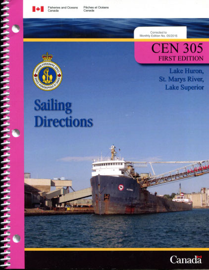
CEN305E Lake Huron, St. Marys River, Lake Superior, 2000 – CHS Sailing Directions
CEN306E Georgian Bay, 2015 – CHS Sailing Directions
Sailing Directions offer detailed descriptions of the best approaches to harbours, harbour facilities, anchorages, local history and regulations. They are the indispensable companions to charts.
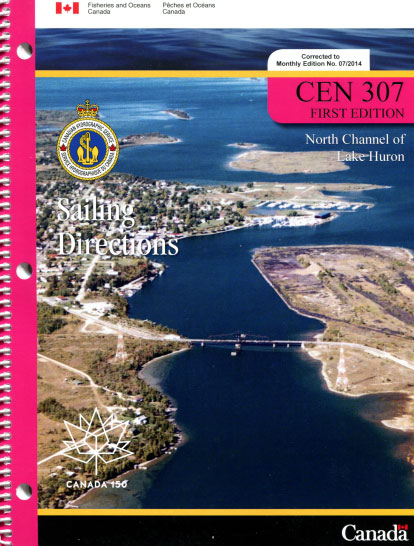
CEN307E North Channel of Lake Huron, 2000 – CHS Sailing Directions
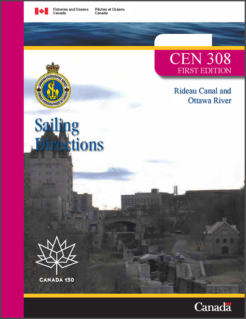
CEN308E Rideau Canal and Ottawa River, 2003 – CHS Sailing Directions
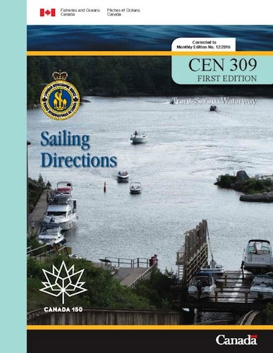
CEN309E Trent-Severn Waterway, 2016 – CHS Sailing Directions
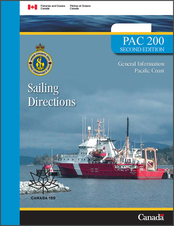
PAC200E General Information on Pacific Coast, 2006 – CHS Sailing Directions
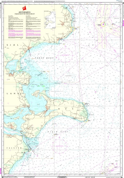
196 Baltic Sea – Femern Baelt
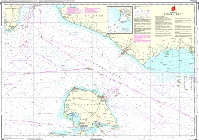
Official charts for the coast of Denmark produced by the Danish Hydrographic Office. The charts are ordered upon customer demand, therefore please contact us if you require the charts urgently.For any further information, you can contact maritime@stanfords.co.uk.Plan included in this chart:- Rรธdbyhavn 1:12,500
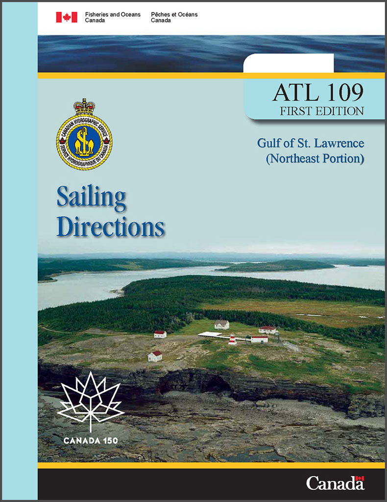
ATL109E Gulf of St. Lawrence (Northeast Portion), 2006 – CHS Sailing Directions
197 Baltic Sea – Gedser Rev and Kadetrenden
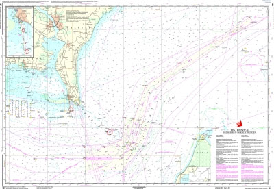
Official charts for the coast of Denmark produced by the Danish Hydrographic Office. The charts are ordered upon customer demand, therefore please contact us if you require the charts urgently.For any further information, you can contact maritime@stanfords.co.uk.Plan included in this chart:- Indsejling til Gedser 1:25,000- Gedser 1:8,000


