Category Archives: Non-Fiction & Reference
CHS Chart 7011 – Hudson Strait to Greenland
The official Canadian charts provide an excellent range of scales for the whole length of Canada`s coastline as well as the Grat Lakes and comply with Safety of Life at Sea (SOLAS) regulations.PLEASE NOTE: Canadian Hydrographic Service charts are ordered on demand, please allow 1-2 weeks for the order to arrive at Stanfords.
Davis Mark 25 Master Sextant

***Please contact us for current availability in our stores before ordering. Other sextant models are also available upon request.***DO NOT KEEP IN DIRECT SUNLIGHT OR NEAR A STRONG HEAT SOURCE TO AVOID PLASTIC EXPANDING OR WARPINGDavis plastic sextants have emerged as truly viable instruments for celestial navigation. Their accuracy is not as great as with
Admiralty Chart 2453 – Swinoujscie

Admiralty standard nautical charts comply with Safety of Life at Sea (SOLAS) regulations and are ideal for professional, commercial and recreational use. Charts within the series consist of a range of scales, useful for passage planning, ocean crossings, coastal navigation and entering port.Standard Admiralty charts are folded to fit in a chart table drawer. If
Admiralty Chart IN31 – Bay of Bengal, Northern Part

Admiralty standard nautical charts comply with Safety of Life at Sea (SOLAS) regulations and are ideal for professional, commercial and recreational use. Charts within the series consist of a range of scales, useful for passage planning, ocean crossings, coastal navigation and entering port.Standard Admiralty charts are folded to fit in a chart table drawer. If
Admiralty Chart IN33 – Bay of Bengal – Southern Part

Admiralty standard nautical charts comply with Safety of Life at Sea (SOLAS) regulations and are ideal for professional, commercial and recreational use. Charts within the series consist of a range of scales, useful for passage planning, ocean crossings, coastal navigation and entering port.Standard Admiralty charts are folded to fit in a chart table drawer. If
Admiralty Chart 2098 – Bjuroklubb and Ulkokalla to Tornio

NEW EDITION ON 19/09/2019Admiralty standard nautical charts comply with Safety of Life at Sea (SOLAS) regulations and are ideal for professional, commercial and recreational use. Charts within the series consist of a range of scales, useful for passage planning, ocean crossings, coastal navigation and entering port.Standard Admiralty charts are folded to fit in a chart
Admiralty Chart 8297 – Approaches to Rotterdam Europoort Port Approach Guide
NEW EDITION OUT ON 18/03/2021DMIRALTY Port Approach Guides are single, port-scale charts that contain a wide range of planning information for some of the world`s busiest approaches. Taken from existing ADMIRALTY charts and publications, this information can help to simplify a number of passage planning tasks and support Master Pilot Exchange (MPX). Port Approach Guides
Admiralty Chart IN211 – Satpati to Dighi Harbour, India West Coast

NEW EDITION OUT ON 05/11/2020Admiralty standard nautical charts comply with Safety of Life at Sea (SOLAS) regulations and are ideal for professional, commercial and recreational use. Charts within the series consist of a range of scales, useful for passage planning, ocean crossings, coastal navigation and entering port.Standard Admiralty charts are folded to fit in a
Admiralty Chart IN212 – Murud-Janjira Hr to Ratnagiri, India West Coast

NEW CHART ON 14/11/2019Admiralty standard nautical charts comply with Safety of Life at Sea (SOLAS) regulations and are ideal for professional, commercial and recreational use. Charts within the series consist of a range of scales, useful for passage planning, ocean crossings, coastal navigation and entering port.Standard Admiralty charts are folded to fit in a chart
Love Mumbai – 5th Edition

The fifth edition of the Love Mumbai book was released in June 2018. The 192-page book was completely updated and expanded by 32 pages. The must have guide details the most authentic experiences in Mumbai and has dedicated sections on SoBo and NoBo, South and North Mumbai. Love Mumbai also has mini destination guides to
CHS Chart 3311 – Sunshine Coast, Vancouver Harbour to Desolation Sound
This is a small craft chart, folded to a compact size and convenient to use.The official Canadian charts provide an excellent range of scales for the whole length of Canada`s coastline as well as the Grat Lakes and comply with Safety of Life at Sea (SOLAS) regulations. PLEASE NOTE: Canadian Hydrographic Service charts are ordered
Running Log – A Luxury Logbook

Regular running logs have become outdated as the yachting industry continues to expand and look for alternative products. The Running Log introduces a new line of superior logs eliminating current logbooks filled with unnecessary information. The Running Log contains only pertinent information for the vessel. Advanced Marine Logistics, a Captain and 1st officer partnership with
Admiralty Chart 2048 – Klaipeda to Pavilosta

Admiralty standard nautical charts comply with Safety of Life at Sea (SOLAS) regulations and are ideal for professional, commercial and recreational use. Charts within the series consist of a range of scales, useful for passage planning, ocean crossings, coastal navigation and entering port. Standard Admiralty charts are folded to fit in a chart table drawer.
Admiralty Chart IN206 – Veraval to Diu Head

NEW EDITION DUE 15th AUGUST 2019Admiralty standard nautical charts comply with Safety of Life at Sea (SOLAS) regulations and are ideal for professional, commercial and recreational use. Charts within the series consist of a range of scales, useful for passage planning, ocean crossings, coastal navigation and entering port.Standard Admiralty charts are folded to fit in
Admiralty Chart NZ5324 – N. Island East Coast, Tamaki Strait and Approaches to Waiheke Island

Admiralty standard nautical charts comply with Safety of Life at Sea (SOLAS) regulations and are ideal for professional, commercial and recreational use. Charts within the series consist of a range of scales, useful for passage planning, ocean crossings, coastal navigation and entering port. Standard Admiralty charts are folded to fit in a chart table drawer.
CEN303E Welland Canal and Lake Erie,1996 – CHS Sailing Directions
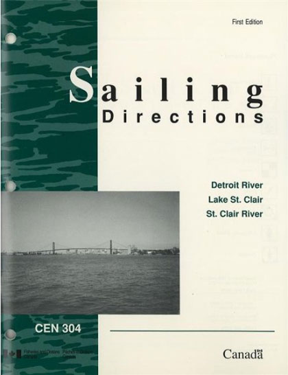
CEN304E Detroit River, Lake St.Clair, St.Clair River, 1996 – CHS Sailing Directions
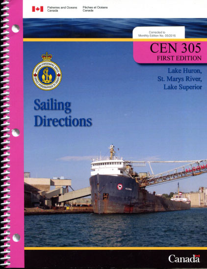
CEN305E Lake Huron, St. Marys River, Lake Superior, 2000 – CHS Sailing Directions
CEN306E Georgian Bay, 2015 – CHS Sailing Directions
Sailing Directions offer detailed descriptions of the best approaches to harbours, harbour facilities, anchorages, local history and regulations. They are the indispensable companions to charts.


