Category Archives: Non-Fiction & Reference
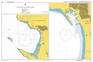
CHS Chart 7170 – Exeter Bay and Approaches
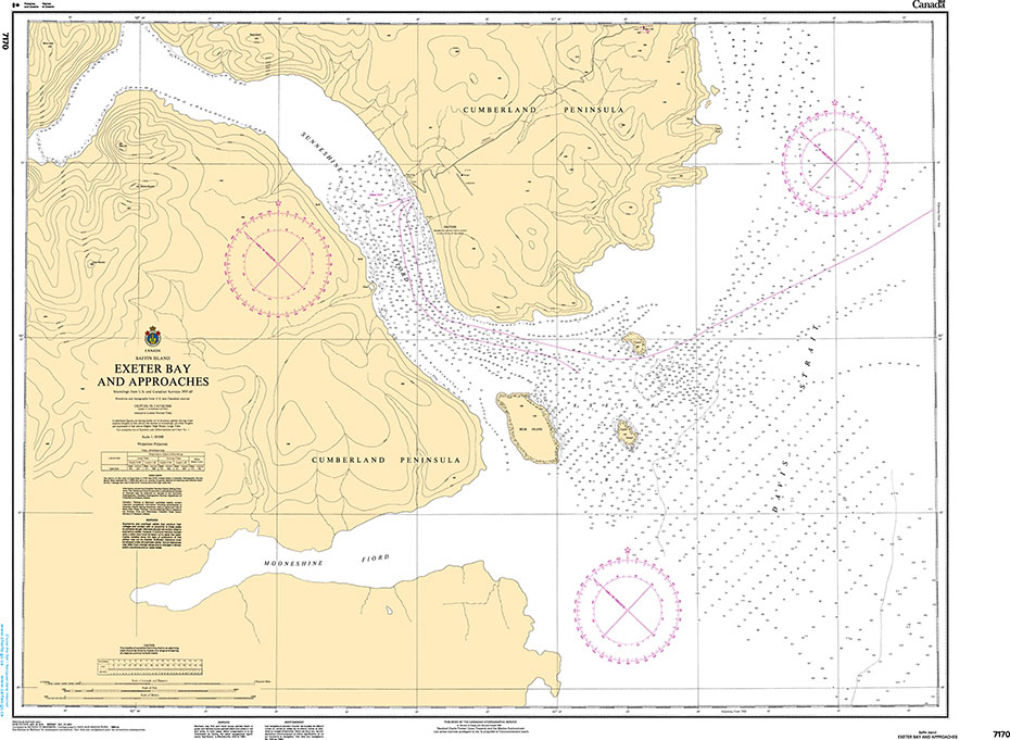
The official Canadian charts provide an excellent range of scales for the whole length of Canada`s coastline as well as the Grat Lakes and comply with Safety of Life at Sea (SOLAS) regulations.PLEASE NOTE: Canadian Hydrographic Service charts are ordered on demand, please allow 1-2 weeks for the order to arrive at Stanfords.
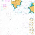
Admiralty Chart 3108 – Ivory Coast, Grand Bereby to Sassandra
Admiralty standard nautical charts comply with Safety of Life at Sea (SOLAS) regulations and are ideal for professional, commercial and recreational use. Charts within the series consist of a range of scales, useful for passage planning, ocean crossings, coastal navigation and entering port.Standard Admiralty charts are folded to fit in a chart table drawer. If
Admiralty Chart PNG642 – Papua New Guinea, North East Coast, Lae
Admiralty standard nautical charts comply with Safety of Life at Sea (SOLAS) regulations and are ideal for professional, commercial and recreational use. Charts within the series consist of a range of scales, useful for passage planning, ocean crossings, coastal navigation and entering port.Standard Admiralty charts are folded to fit in a chart table drawer. If
Admiralty Chart IN2083 – Approaches to Sikka

Admiralty standard nautical charts comply with Safety of Life at Sea (SOLAS) regulations and are ideal for professional, commercial and recreational use. Charts within the series consist of a range of scales, useful for passage planning, ocean crossings, coastal navigation and entering port.Standard Admiralty charts are folded to fit in a chart table drawer. If
Admiralty Chart PNG646 – Papua New Guinea, North Coast, Approaches to Madang
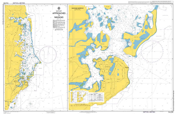
***Chart image for illustration only. Actual product may vary due to changes applied to the newest edition*** Admiralty standard nautical charts comply with Safety of Life at Sea (SOLAS) regulations and are ideal for professional, commercial and recreational use. Charts within the series consist of a range of scales, useful for passage planning, ocean crossings,
Admiralty Chart IN218 – Kasaragod to Tellicherry

Admiralty standard nautical charts comply with Safety of Life at Sea (SOLAS) regulations and are ideal for professional, commercial and recreational use. Charts within the series consist of a range of scales, useful for passage planning, ocean crossings, coastal navigation and entering port.Standard Admiralty charts are folded to fit in a chart table drawer. If
Vol 4 Arctic and Hudson Bay 2019 – CHS Tide and Current Tables
Tide Tables provide predicted times and heights of the high and low waters associated with the vertical movement of the tide. The tide predictions are available in table, graphic and text formats for over seven hundred stations in Canada.The Current Tables provide predicted times for slack water and the times and velocities of maximum current,
Admiralty Chart IN2039 – Gulf of Khambhat Northern Portion

Admiralty standard nautical charts comply with Safety of Life at Sea (SOLAS) regulations and are ideal for professional, commercial and recreational use. Charts within the series consist of a range of scales, useful for passage planning, ocean crossings, coastal navigation and entering port.Standard Admiralty charts are folded to fit in a chart table drawer. If
Vol 5 Juan de Fuca Strait and Strait of Georgia 2019 – CHS Tide and Current Tables
Tide Tables provide predicted times and heights of the high and low waters associated with the vertical movement of the tide. The tide predictions are available in table, graphic and text formats for over seven hundred stations in Canada.The Current Tables provide predicted times for slack water and the times and velocities of maximum current,
Admiralty Chart 2637 – Gdansk
NEW EDITION OUT ON 28/01/2021Admiralty standard nautical charts comply with Safety of Life at Sea (SOLAS) regulations and are ideal for professional, commercial and recreational use. Charts within the series consist of a range of scales, useful for passage planning, ocean crossings, coastal navigation and entering port. Standard Admiralty charts are folded to fit in
Vol 6 Discovery Passage and West Coast of Vancouver Island 2019 – CHS Tide and Current Tables
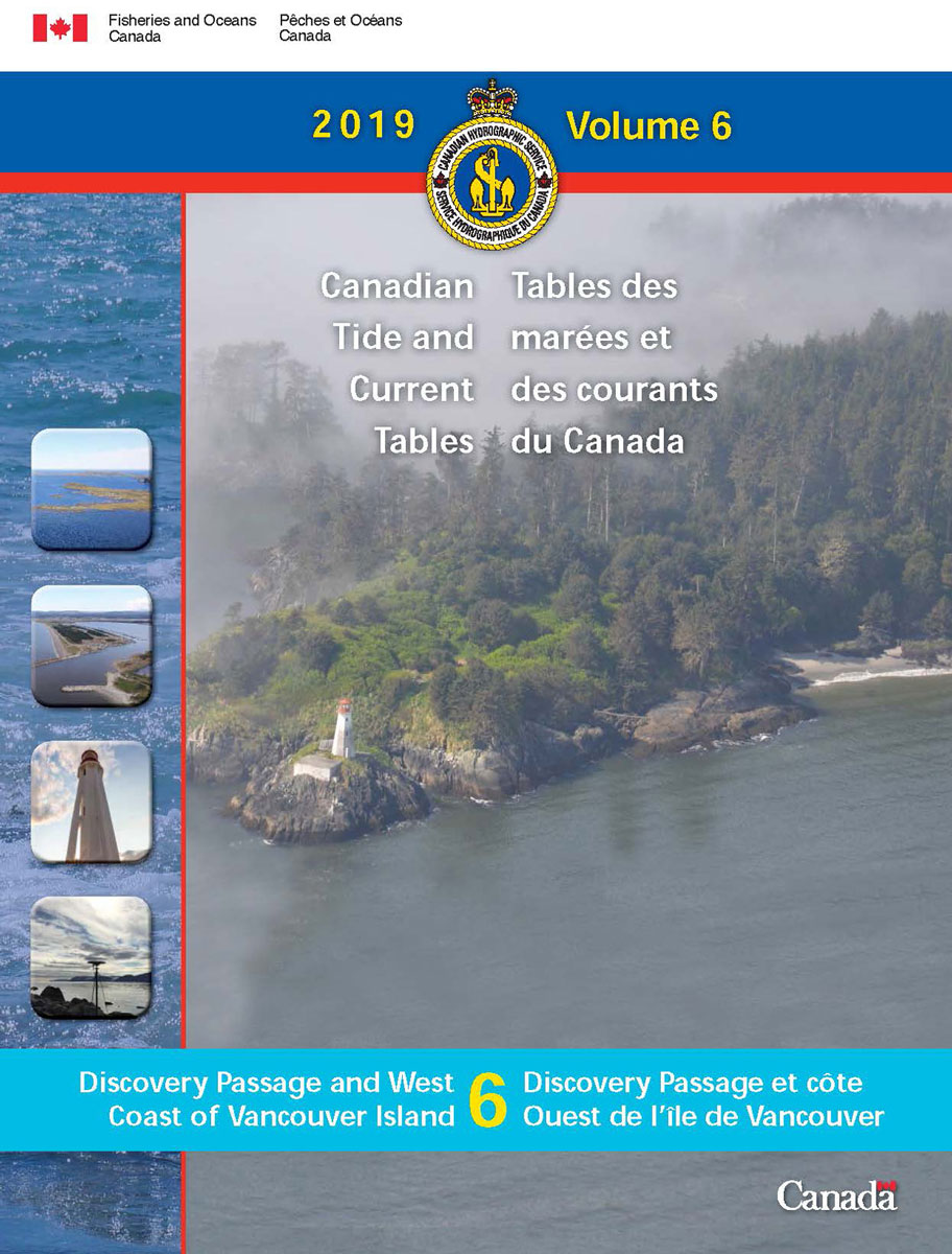
Tide Tables provide predicted times and heights of the high and low waters associated with the vertical movement of the tide. The tide predictions are available in table, graphic and text formats for over seven hundred stations in Canada.The Current Tables provide predicted times for slack water and the times and velocities of maximum current,
NP314 Nautical Almanac 2020 – Digital
ADMIRALTY e-Nautical Publications (AENPs) bring improved efficiency, accuracy and access to information bridge crews need through electronic NM updates and simple search functionality.Please note that e-NP314 Nautical Almanac is sold on an individual 24 month licence basis and requires Windows operating system. All digital publication sales are final.***Please allow 1-2 working days for the license
Admiralty Chart IN308 – Outer Approaches to Visakhapatnam

Admiralty standard nautical charts comply with Safety of Life at Sea (SOLAS) regulations and are ideal for professional, commercial and recreational use. Charts within the series consist of a range of scales, useful for passage planning, ocean crossings, coastal navigation and entering port.Standard Admiralty charts are folded to fit in a chart table drawer. If
Admiralty Chart IN3002 – Approaches to Vishakhapatnam
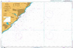
***Chart image for illustration only. Actual product may vary due to changes applied to the newest edition*** Admiralty standard nautical charts comply with Safety of Life at Sea (SOLAS) regulations and are ideal for professional, commercial and recreational use. Charts within the series consist of a range of scales, useful for passage planning, ocean crossings,
Admiralty Chart IN3012 – Vishakhapatnam Harbour

NEW EDITION OUT ON 05/11/2020Admiralty standard nautical charts comply with Safety of Life at Sea (SOLAS) regulations and are ideal for professional, commercial and recreational use. Charts within the series consist of a range of scales, useful for passage planning, ocean crossings, coastal navigation and entering port.Standard Admiralty charts are folded to fit in a
Admiralty Chart IN3035 – Gangavaram Port

Admiralty standard nautical charts comply with Safety of Life at Sea (SOLAS) regulations and are ideal for professional, commercial and recreational use. Charts within the series consist of a range of scales, useful for passage planning, ocean crossings, coastal navigation and entering port.Standard Admiralty charts are folded to fit in a chart table drawer. If
Admiralty Chart 2764 – Berbice River to Suriname River

Admiralty standard nautical charts comply with Safety of Life at Sea (SOLAS) regulations and are ideal for professional, commercial and recreational use. Charts within the series consist of a range of scales, useful for passage planning, ocean crossings, coastal navigation and entering port.Standard Admiralty charts are folded to fit in a chart table drawer. If
Admiralty Chart IN3042 – Approaches to Kakinada

Admiralty standard nautical charts comply with Safety of Life at Sea (SOLAS) regulations and are ideal for professional, commercial and recreational use. Charts within the series consist of a range of scales, useful for passage planning, ocean crossings, coastal navigation and entering port.Standard Admiralty charts are folded to fit in a chart table drawer. If
Passenger Ship Crisis Management & Human Behaviour Training, 2019 Edition – IMO Model Course – E-Reader
Please allow 1-2 working days for the license to be issued by email. This model course aims to meet the mandatory minimum requirements for the training of personnel in crisis management during emergency situations on board passenger ships. Trainees gain competence in passenger ship crisis management and human behaviour training in accordance with section A-V/2,
Managing Seafood Safety During and After Oilspill – E-Book
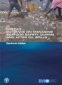
Please allow 1-2 working days for the license to be issued by email. The IMO/FAO Guidance on managing seafood safety during and after oil spills provides a very useful guide to identify the various problems that will affect fisheries and aquaculture enterprises in the event of an oil spill. This document will be useful to


