Category Archives: Non-Fiction & Reference
CHS Chart 7664 – Liverpool Bay
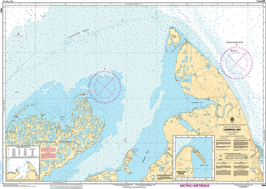
The official Canadian charts provide an excellent range of scales for the whole length of Canada`s coastline as well as the Grat Lakes and comply with Safety of Life at Sea (SOLAS) regulations.PLEASE NOTE: Canadian Hydrographic Service charts are ordered on demand, please allow 1-2 weeks for the order to arrive at Stanfords.
CHS Chart 7666 – Cape Lyon to Tinney Point
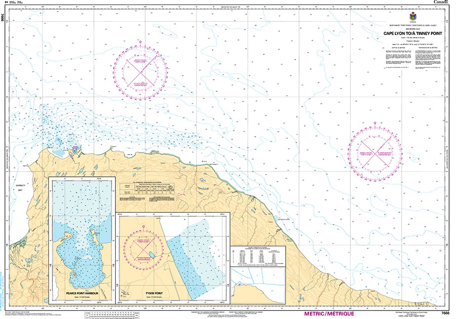
The official Canadian charts provide an excellent range of scales for the whole length of Canada`s coastline as well as the Grat Lakes and comply with Safety of Life at Sea (SOLAS) regulations.PLEASE NOTE: Canadian Hydrographic Service charts are ordered on demand, please allow 1-2 weeks for the order to arrive at Stanfords.
CHS Chart 4654 – Lark Harbour and York Harbour
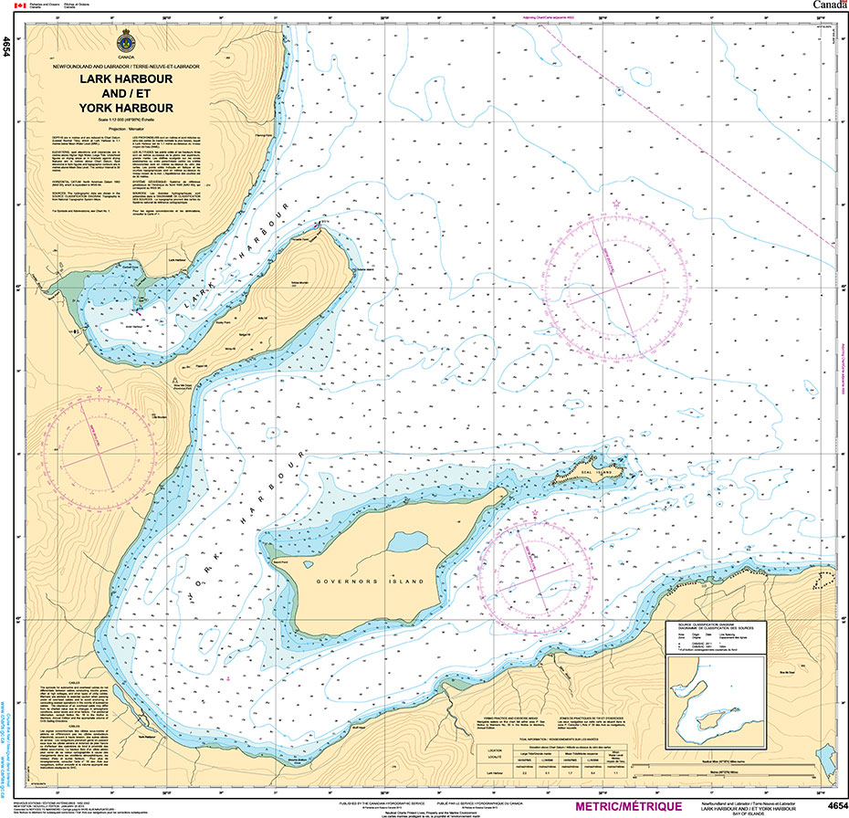
The official Canadian charts provide an excellent range of scales for the whole length of Canada`s coastline as well as the Grat Lakes and comply with Safety of Life at Sea (SOLAS) regulations.PLEASE NOTE: Canadian Hydrographic Service charts are ordered on demand, please allow 1-2 weeks for the order to arrive at Stanfords.
NGA Chart 121 – North Atlantic Ocean, North Sheet
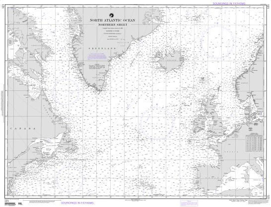
Produced by the US Government, National Geospatial-Intelligence Agency (NGA) charts provide information for the International Waters. They are printed on demand at our London shop and are supplied as flat charts.PLEASE NOTE: NGA charts are not updated often, therefore some may no longer be suitable for safe navigation and should be used for reference only.
Admiralty Chart PNG520 – Cape Nelson to Dyke Ackland Bay
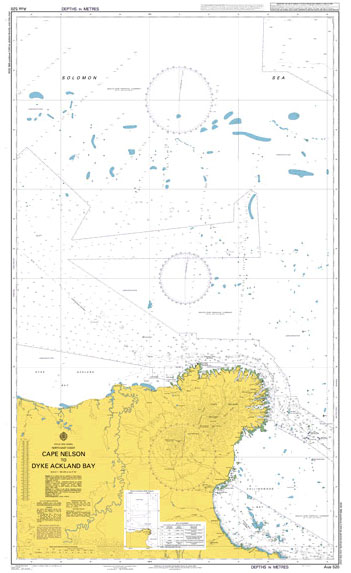
NEW EDITION OUT ON 29/10/2020***Chart image for illustration only. Actual product may vary due to changes applied to the newest edition*** Admiralty standard nautical charts comply with Safety of Life at Sea (SOLAS) regulations and are ideal for professional, commercial and recreational use. Charts within the series consist of a range of scales, useful for
Admiralty Chart DE7 – River Jade, Inner Part
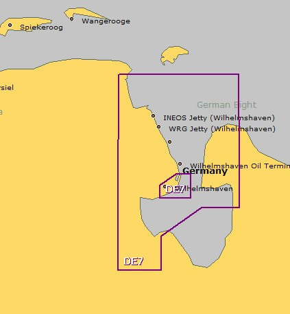
NEW EDITION OUT ON 03/06/2021Admiralty standard nautical charts comply with Safety of Life at Sea (SOLAS) regulations and are ideal for professional, commercial and recreational use. Charts within the series consist of a range of scales, useful for passage planning, ocean crossings, coastal navigation and entering port.Standard Admiralty charts are folded to fit in a
Admiralty Chart DE103 – Spiekeroog to Romo and Helgoland
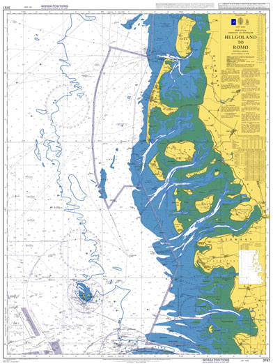
NEW EDITION OUT ON 24/06/2021***Chart image for illustration only. Actual product may vary due to changes applied to the newest edition*** Admiralty standard nautical charts comply with Safety of Life at Sea (SOLAS) regulations and are ideal for professional, commercial and recreational use. Charts within the series consist of a range of scales, useful for
Jamaica White Ensign – 2 and 1/2 yd – Sewn
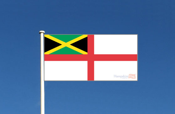
We are able to source a wide range of courtesy flags. Flags are available in many sizes and can be sewn or printed on 100% Ministry Of Defence Standard Woven and Knitted Polyester. Flags are supplied with rope and toggleIf you would like more information, have a custom size request or cannot find a desired
Automatic Identification Systems (AIS), 2019 Edition – IMO Model Course – E-Reader

Please allow 1-2 working days for the license to be issued by email. This course provides information on the generic use of AIS, and is designed for officers in charge of a navigational watch on ships that are fitted with such equipment. Its main aims are to increase safety and security and to protect the
Jamaica National Flag – 2 and 1/2 yd – Sewn
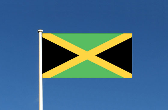
We are able to source a wide range of courtesy flags. Flags are available in many sizes and can be sewn or printed on 100% Ministry Of Defence Standard Woven and Knitted Polyester. Flags are supplied with rope and toggleIf you would like more information, have a custom size request or cannot find a desired
Proficiency in Personal Survival Techniques, 2019 Edition – IMO Model Course – E-Reader

Please allow 1-2 working days for the license to be issued by email. This course should be taken by every prospective seafarer in order to meet minimum standards of competence in safety familiarization, basic training and instruction in personal survival techniques. The course is based on the provisions of table A-VI/1-1 of the STCW Code.IMO
Admiralty Chart 3905 – North Eastern Approaches to Madagascar
Admiralty standard nautical charts comply with Safety of Life at Sea (SOLAS) regulations and are ideal for professional, commercial and recreational use. Charts within the series consist of a range of scales, useful for passage planning, ocean crossings, coastal navigation and entering port.Standard Admiralty charts are folded to fit in a chart table drawer. If
CHS Chart 4277 – Great Bras D`Or, St. Andrews Channel and St. Anns Bay
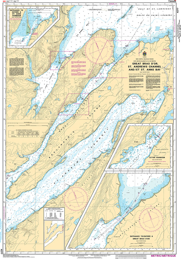
Plan Includes:Entrance to St. Ann`s Harbour 1:20,000Otter Harbour 1:20,000Entrance to Great Bras D`Or 1:20,000The official Canadian charts provide an excellent range of scales for the whole length of Canada`s coastline as well as the Great Lakes and comply with Safety of Life at Sea (SOLAS) regulations.PLEASE NOTE: Canadian Hydrographic Service charts are ordered on demand,
Admiralty Chart 3208 – Graham Land, Plans in Antarctic Sound
Plans included in this chart:Paulet Island 1:25,000Fridtjof Sound 1:50,000Brown Bluff 1:12,500Admiralty standard nautical charts comply with Safety of Life at Sea (SOLAS) regulations and are ideal for professional, commercial and recreational use. Charts within the series consist of a range of scales, useful for passage planning, ocean crossings, coastal navigation and entering port.Standard Admiralty charts
Admiralty Chart PNG508 – Brumer Islands to Goschen Strait
***Chart image for illustration only. Actual product may vary due to changes applied to the newest edition*** Admiralty standard nautical charts comply with Safety of Life at Sea (SOLAS) regulations and are ideal for professional, commercial and recreational use. Charts within the series consist of a range of scales, useful for passage planning, ocean crossings,
Admiralty Chart PNG643 – Papua New Guinea, North East Coast, Approaches to Lae
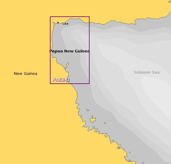
Admiralty standard nautical charts comply with Safety of Life at Sea (SOLAS) regulations and are ideal for professional, commercial and recreational use. Charts within the series consist of a range of scales, useful for passage planning, ocean crossings, coastal navigation and entering port.Standard Admiralty charts are folded to fit in a chart table drawer. If
Admiralty Chart 4779 – Saguenay Fjord to Cap Eternite
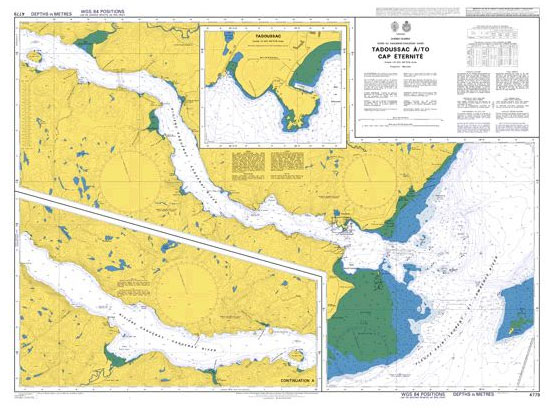
Admiralty standard nautical charts comply with Safety of Life at Sea (SOLAS) regulations and are ideal for professional, commercial and recreational use. Charts within the series consist of a range of scales, useful for passage planning, ocean crossings, coastal navigation and entering port.Standard Admiralty charts are folded to fit in a chart table drawer. If
Admiralty Chart 537 – Approaches to Georgetown
Admiralty standard nautical charts comply with Safety of Life at Sea (SOLAS) regulations and are ideal for professional, commercial and recreational use. Charts within the series consist of a range of scales, useful for passage planning, ocean crossings, coastal navigation and entering port.Standard Admiralty charts are folded to fit in a chart table drawer. If


