Category Archives: Non-Fiction & Reference
CHS Chart 4379 – Liverpool Harbour
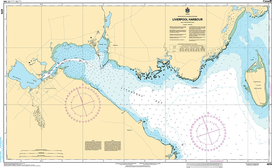
The official Canadian charts provide an excellent range of scales for the whole length of Canada`s coastline as well as the Grat Lakes and comply with Safety of Life at Sea (SOLAS) regulations.PLEASE NOTE: Canadian Hydrographic Service charts are ordered on demand, please allow 1-2 weeks for the order to arrive at Stanfords.
Advanced Training for Oil Tanker Cargo Operations, 2015 Edition – IMO Model Course – E-Book
Please allow 1-2 working days for the license to be issued by email. This course provides training to candidates to meet the requirements of Section A V/1 1 paragraph 2 of the STCW Code with specific duties for loading, unloading and care in transit or handling of oil cargoes. It comprises an advanced training programme
CHS Chart 4396 – Annapolis Basin
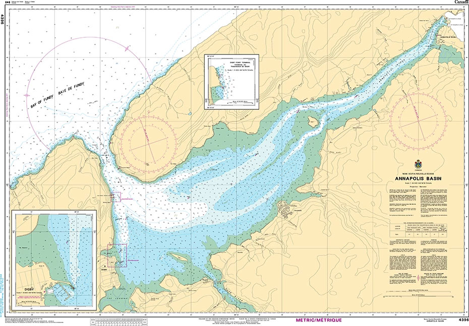
The official Canadian charts provide an excellent range of scales for the whole length of Canada`s coastline as well as the Grat Lakes and comply with Safety of Life at Sea (SOLAS) regulations.PLEASE NOTE: Canadian Hydrographic Service charts are ordered on demand, please allow 1-2 weeks for the order to arrive at Stanfords.
Ship Simulator & Bridge Teamwork, 2002 Edition – IMO Model Course – E-Book
Please allow 1-2 working days for the license to be issued by email. This Model Course is practical and theoretical and consists of a series of exercises performed on a ship handling simulator. Classroom lectures, to provide the necessary theoretical background for the exercises, are included. Particular items dealt with in these lectures are illustrated
Advanced Training for Liquefied Gas Tanker Cargo Operations, 2015 Edition – IMO Model Course – E-Book
Please allow 1-2 working days for the license to be issued by email. This course provides training for Masters, chief engineer officers, chief mates, second engineer officers and any person with immediate responsibility for loading, unloading, care in transit, handling of cargo, tank cleaning or other cargo related operations on liquefied gas tankers. It comprises
Specialized Training for Liquefied Gas Tankers, 1999 Edition – IMO Model Course – E-Book
Please allow 1-2 working days for the license to be issued by email. Those masters, officers and others who have immediate responsibility for the loading, discharging and care in transit or handling of liquefied gases will need to successfully complete this advanced programme of training in safety on a liquefied gas tanker, fire safety measures
Dangerous, Hazardous & Harmful Cargoes, 2014 Edition – IMO Model Course – E-Book
Elementary First Aid, 2000 Edition – IMO Model Course – E-Book
Medical Care, 2000 Edition – IMO Model Course – E-Book
A Mariner`s Log Book
Admiralty Chart 3982 – Brazil – South Coast Ilha do Arvoredo to Tramandai
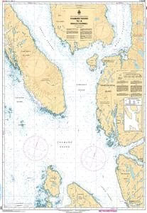
AVAILABLE FROM 15th AUGUST 2019One of a series of new charts providing improved coverage of the south coast of Brazil. The Panels previously on chart 546 are included on this chart.Admiralty standard nautical charts comply with Safety of Life at Sea (SOLAS) regulations and are ideal for professional, commercial and recreational use. Charts within the
Admiralty Chart 3984 – South America – East Coast Capao da Marca de Fora to Cabo Polonio
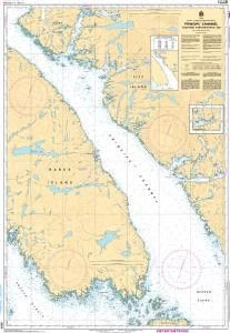
AVAILABLE FROM 15th AUGUST 2019One of a series of new charts providing improved coverage of the south coast of Brazil. Admiralty standard nautical charts comply with Safety of Life at Sea (SOLAS) regulations and are ideal for professional, commercial and recreational use. Charts within the series consist of a range of scales, useful for passage
Admiralty Chart IN205 – Navibandar to Veraval
NEW EDITION DUE 15th AUGUST 2019 – A replacement for chart BA1472Admiralty standard nautical charts comply with Safety of Life at Sea (SOLAS) regulations and are ideal for professional, commercial and recreational use. Charts within the series consist of a range of scales, useful for passage planning, ocean crossings, coastal navigation and entering port.Standard Admiralty
Admiralty Chart 3708 – Port of Fujairah (Fujayrah)

Admiralty standard nautical charts comply with Safety of Life at Sea (SOLAS) regulations and are ideal for professional, commercial and recreational use. Charts within the series consist of a range of scales, useful for passage planning, ocean crossings, coastal navigation and entering port.Standard Admiralty charts are folded to fit in a chart table drawer. If
Admiralty Chart IN260 – Kochi to Cape Comorin
NEW EDITION 15th AUGUST 2019 – A new chart replacement for chart 1566Admiralty standard nautical charts comply with Safety of Life at Sea (SOLAS) regulations and are ideal for professional, commercial and recreational use. Charts within the series consist of a range of scales, useful for passage planning, ocean crossings, coastal navigation and entering port.Standard
Admiralty Chart 4779 – Saguenay Fjord to Cap Eternite
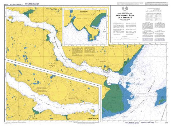
Admiralty standard nautical charts comply with Safety of Life at Sea (SOLAS) regulations and are ideal for professional, commercial and recreational use. Charts within the series consist of a range of scales, useful for passage planning, ocean crossings, coastal navigation and entering port.Standard Admiralty charts are folded to fit in a chart table drawer. If
IAMSAR Manual – Volume III, 2019 Edition – E-Reader
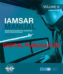
Please allow 1-2 working days for the license to be issued by email. Jointly published by IMO and the International Civil Aviation Organization (ICAO), the three-volume International Aeronautical and Maritime Search and Rescue Manual (IAMSAR) provides guidelines for a common aviation and maritime approach to organizing and providing search and rescue (SAR) services.Each volume can
CHS Chart 7171 – Exeter Bay Landing Beach
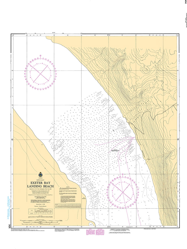
The official Canadian charts provide an excellent range of scales for the whole length of Canada`s coastline as well as the Grat Lakes and comply with Safety of Life at Sea (SOLAS) regulations.PLEASE NOTE: Canadian Hydrographic Service charts are ordered on demand, please allow 1-2 weeks for the order to arrive at Stanfords.


