Category Archives: Non-Fiction & Reference
Admiralty Chart 3579 – Antarctica, Rydberg Peninsula to Siple Island

NEW CHART OUT ON 09/04/2020Admiralty standard nautical charts comply with Safety of Life at Sea (SOLAS) regulations and are ideal for professional, commercial and recreational use. Charts within the series consist of a range of scales, useful for passage planning, ocean crossings, coastal navigation and entering port.Standard Admiralty charts are folded to fit in a
Admiralty Chart PNG512 – Misima Island to Bonvouloir Island
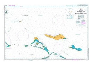
Admiralty standard nautical charts comply with Safety of Life at Sea (SOLAS) regulations and are ideal for professional, commercial and recreational use. Charts within the series consist of a range of scales, useful for passage planning, ocean crossings, coastal navigation and entering port.Standard Admiralty charts are folded to fit in a chart table drawer. If
Admiralty Chart PNG554 – Cape St George to Rabaul
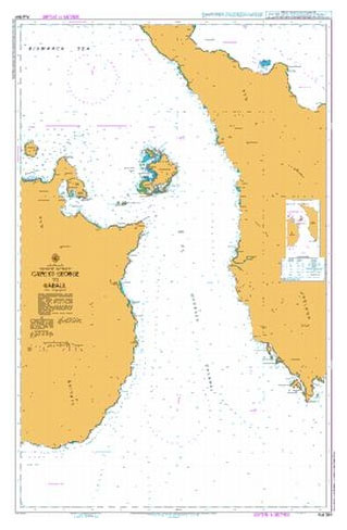
Admiralty standard nautical charts comply with Safety of Life at Sea (SOLAS) regulations and are ideal for professional, commercial and recreational use. Charts within the series consist of a range of scales, useful for passage planning, ocean crossings, coastal navigation and entering port.Standard Admiralty charts are folded to fit in a chart table drawer. If
Admiralty Chart IN213 – India West Coast, Ratnagiri to Vengurla

NEW CHART OUT ON 30/01/2020Admiralty standard nautical charts comply with Safety of Life at Sea (SOLAS) regulations and are ideal for professional, commercial and recreational use. Charts within the series consist of a range of scales, useful for passage planning, ocean crossings, coastal navigation and entering port.Standard Admiralty charts are folded to fit in a
Admiralty Chart IN214 – India – West Coast, Vengurla to Betul
NEW CHART, OUT ON 23/04/2020***Chart image for illustration only. Actual product may vary due to changes applied to the newest edition*** Admiralty standard nautical charts comply with Safety of Life at Sea (SOLAS) regulations and are ideal for professional, commercial and recreational use. Charts within the series consist of a range of scales, useful for
Admiralty Chart IN2022 – India West Coast, Approaches to Mormugao

NEW CHART OUT ON 30/01/2020Admiralty standard nautical charts comply with Safety of Life at Sea (SOLAS) regulations and are ideal for professional, commercial and recreational use. Charts within the series consist of a range of scales, useful for passage planning, ocean crossings, coastal navigation and entering port.Standard Admiralty charts are folded to fit in a
Admiralty Chart IN257 – India – West Coast, Malvan to Kundapura

NEW CHART, OUT ON 23/04/2020***Chart image for illustration only. Actual product may vary due to changes applied to the newest edition*** Admiralty standard nautical charts comply with Safety of Life at Sea (SOLAS) regulations and are ideal for professional, commercial and recreational use. Charts within the series consist of a range of scales, useful for
Admiralty Chart IN2078 – India West Coast, Port of Mormugao

NEW CHART OUT ON 30/01/2020Admiralty standard nautical charts comply with Safety of Life at Sea (SOLAS) regulations and are ideal for professional, commercial and recreational use. Charts within the series consist of a range of scales, useful for passage planning, ocean crossings, coastal navigation and entering port.Standard Admiralty charts are folded to fit in a
Ozone Depleting Substances Record Book – According with Marpol Annex VI Regulation 12
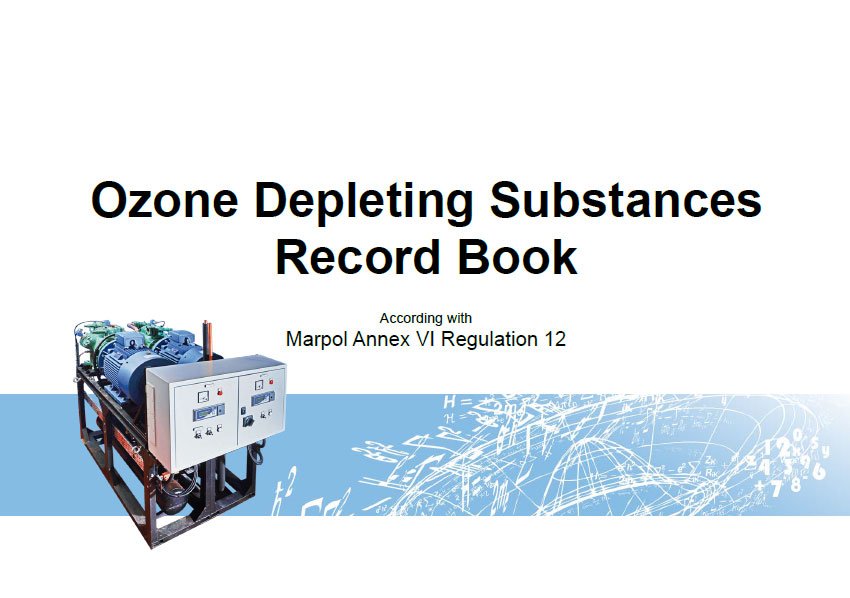
Log Ozone Depleting Substances Record BookODS Record Book which includes record keeping instructions and check list for compliance with MARPOL. ODS Record book is required on yachts when there is a presence of certain ozone depleting substances or if you have equipment that requires an IAAP certificate. Record book is in landscape format and spiral
Admiralty Chart PNG519 – Papua New Guinea, North East Coast, Ward Hunt Strait to Star Reefs Passage
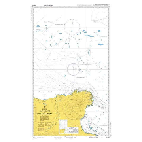
REPLACES AUS519 ON 20/02/2020Admiralty standard nautical charts comply with Safety of Life at Sea (SOLAS) regulations and are ideal for professional, commercial and recreational use. Charts within the series consist of a range of scales, useful for passage planning, ocean crossings, coastal navigation and entering port.Standard Admiralty charts are folded to fit in a chart
SHOM Chart 6372 – Du Cap Estรฉrias ร la Pointe Ekouรจta
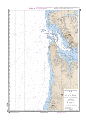
SHOM charts are produced by the French Government and comply with Safety of Life at Sea (SOLAS) regulations. They are ideal for professional, commercial and recreational use. Charts within the series consist of a range of scales, useful for passage planning, ocean crossings, coastal navigation and entering port.
SOPEP Shipboard Oil Pollution Emergency Plan – Edition 2004
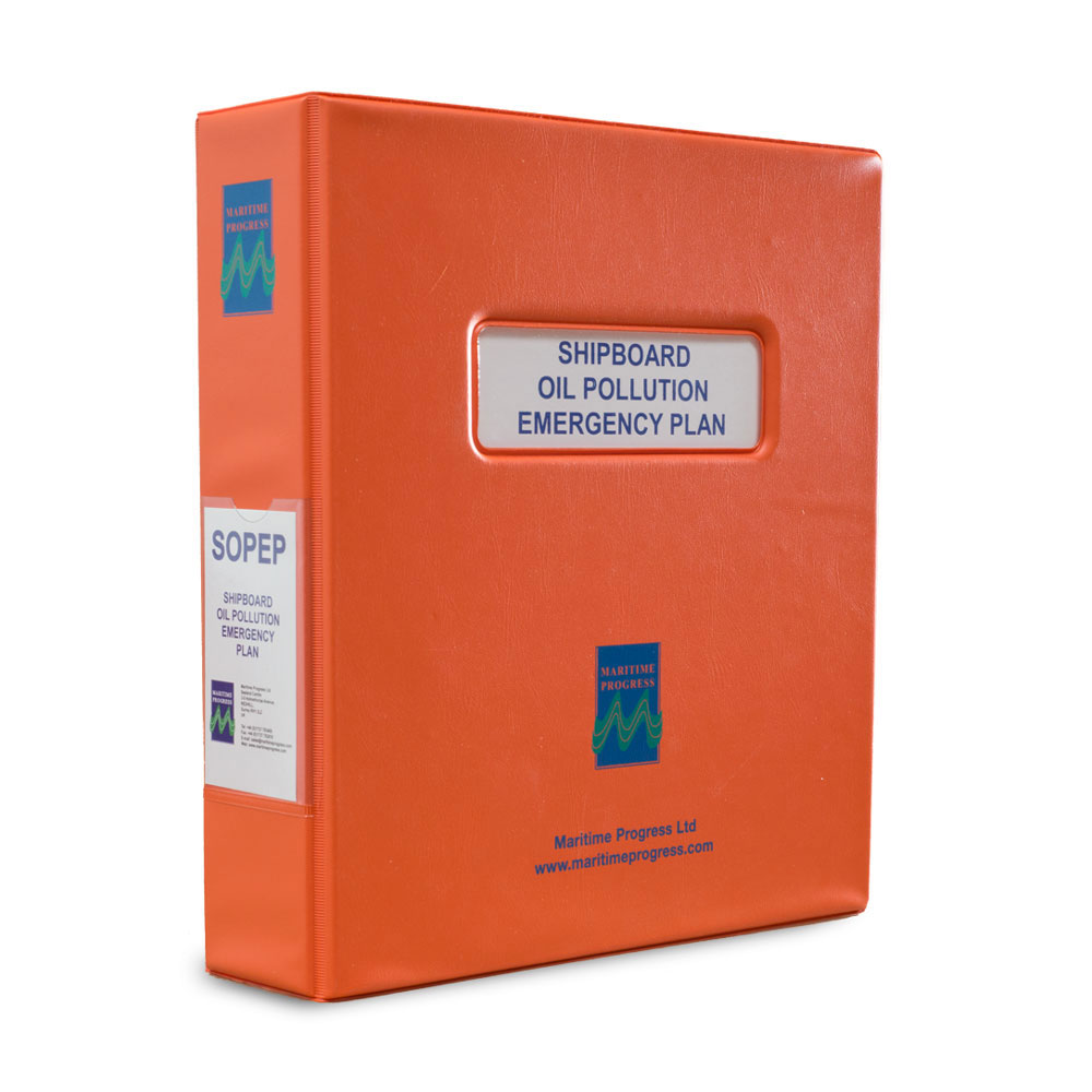
Shipboard Oil Pollution Emergency Plan (SOPEP) complies with MARPOL 73/78, Annex 1, Regulation 37 requiring every oil tanker of 150 tons gross and above, and every ship of 400 tons gross and above to carry a SOPEP, approved by the Administration. This manual satisfies the above MARPOL regulations once basic ship specific information has been
Admiralty Chart IN223 – India – South Coast, Kolachel to Manappad

NEW EDITION OUT ON 05/03/2020Admiralty standard nautical charts comply with Safety of Life at Sea (SOLAS) regulations and are ideal for professional, commercial and recreational use. Charts within the series consist of a range of scales, useful for passage planning, ocean crossings, coastal navigation and entering port.Standard Admiralty charts are folded to fit in a
Admiralty NP727 Ships` Boats Charts and Drawing Materials

ADMIRALTY e-Nautical Publications (AENPs) bring improved efficiency, accuracy and access to information bridge crews need through electronic NM updates and simple search functionality.Please note that AENPs are sold on an individual annual licence basis and require Windows operating system. All digital publication sales are final.***Please allow 1-2 working days for the license to be issued
EPIRB – Emergency Position Indicating Radio Beacon with text (2019) – 50x50mm

Shipboard Oil Pollution Emergency Plan (SOPEP) complies with MARPOL 73/78, Annex 1, Regulation 37 requiring every oil tanker of 150 tons gross and above, and every ship of 400 tons gross and above to carry a SOPEP, approved by the Administration. This manual satisfies the above MARPOL regulations once basic ship specific information has been
Admiralty Chart 522 – Belize City and Approaches
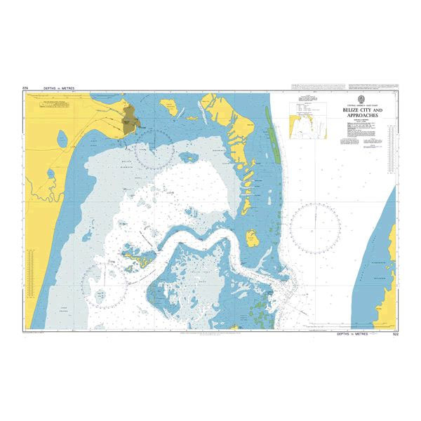
NEW EDITION OUT ON 02/04/2020Admiralty standard nautical charts comply with Safety of Life at Sea (SOLAS) regulations and are ideal for professional, commercial and recreational use. Charts within the series consist of a range of scales, useful for passage planning, ocean crossings, coastal navigation and entering port.Standard Admiralty charts are folded to fit in a
SAR Administration (IAMSAR Vol I), 2014 Edition – IMO Model Course – E-Book
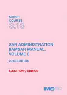
Please allow 1-2 working days for the license to be issued by email. This course is intended to provide an introduction to the administration and management of a maritime search and rescue (SAR) service to assist States in meeting their own SAR needs, and the obligations they accepted under the International Convention on Maritime Search


