Category Archives: Non-Fiction & Reference
Admiralty Chart PNG387 – Vitiaz Strait to Karkar Island
Admiralty standard nautical charts comply with Safety of Life at Sea (SOLAS) regulations and are ideal for professional, commercial and recreational use. Charts within the series consist of a range of scales, useful for passage planning, ocean crossings, coastal navigation and entering port.Standard Admiralty charts are folded to fit in a chart table drawer. If
Admiralty Chart DE90 – Entrance to the Ems

NEW EDITION OUT ON 16/09/2021Admiralty standard nautical charts comply with Safety of Life at Sea (SOLAS) regulations and are ideal for professional, commercial and recreational use. Charts within the series consist of a range of scales, useful for passage planning, ocean crossings, coastal navigation and entering port.Standard Admiralty charts are folded to fit in a
Admiralty Chart PNG621 – Approaches to Port Moresby

NEW EDITION OUT ON 09/07/2020Admiralty standard nautical charts comply with Safety of Life at Sea (SOLAS) regulations and are ideal for professional, commercial and recreational use. Charts within the series consist of a range of scales, useful for passage planning, ocean crossings, coastal navigation and entering port.Standard Admiralty charts are folded to fit in a
Cayman Island Oil Record Logbook: PT1 All Ships
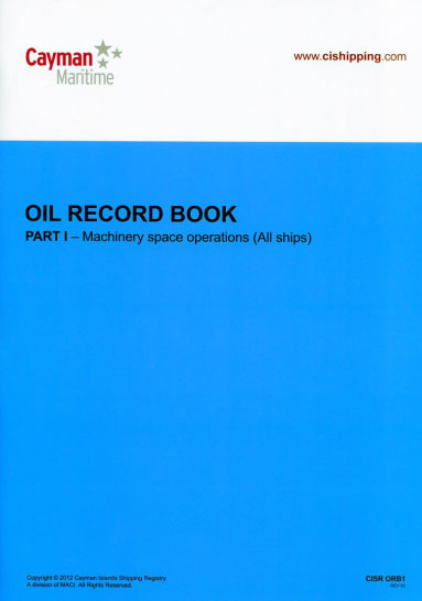
The Cayman Island Shipping Registry Official Oil Record contains 50 pages of log entry space. Each page is set up in a grid-table format for efficient and organized information. The tables contain space for: date, code (letter), item (number) and record of operations/signature of officer in charge. Pages 3-5 contain an itemized list of items
Admiralty Chart PNG627 – Jomard Entrance

NEW EDITION OUT ON 09/07/2020Admiralty standard nautical charts comply with Safety of Life at Sea (SOLAS) regulations and are ideal for professional, commercial and recreational use. Charts within the series consist of a range of scales, useful for passage planning, ocean crossings, coastal navigation and entering port.Standard Admiralty charts are folded to fit in a
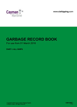
Cayman Island Garbage Record Logbook PT1 All Ships
Admiralty Chart PNG379 – Kerema Bay to Port Moresby

Admiralty standard nautical charts comply with Safety of Life at Sea (SOLAS) regulations and are ideal for professional, commercial and recreational use. Charts within the series consist of a range of scales, useful for passage planning, ocean crossings, coastal navigation and entering port.Standard Admiralty charts are folded to fit in a chart table drawer. If
Admiralty Chart AUS386 – Vitiaz and Dampier Straits

REPLACEMENT FOR AUS386Admiralty standard nautical charts comply with Safety of Life at Sea (SOLAS) regulations and are ideal for professional, commercial and recreational use. Charts within the series consist of a range of scales, useful for passage planning, ocean crossings, coastal navigation and entering port.Standard Admiralty charts are folded to fit in a chart table
Jamaican Registry Oil Record Book Part 1
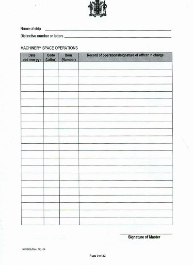
Jamaican Registry Oil Record Book (Part 1) is required to be maintained by all vessels of 400 gross tons or more and Oil Tankers of 150 gross tons or more. This logbook provides 26 pages of log entry space. Each entry table consists of: columns for the date, code, item number and record of operations/signature
Admiralty Chart 780 – Bonaire

REPLACEMENT FOR CHART 1414Admiralty standard nautical charts comply with Safety of Life at Sea (SOLAS) regulations and are ideal for professional, commercial and recreational use. Charts within the series consist of a range of scales, useful for passage planning, ocean crossings, coastal navigation and entering port.Standard Admiralty charts are folded to fit in a chart
UK National Flag Union Jack printed 1 yard
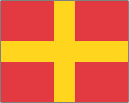
We are able to source a wide range flags in many sizes, sewn or printed on 100% Ministry Of Defence Standard Woven and Knitted Polyester. Flags are supplied with rope and toggle. If you would like more information, have a custom size request or cannot find a desired product, please email us at maritime@stanfords.co.uk .
Admiralty Chart IN219 – India – West Coast, Tellicherry to Tanur Nagaram

NEW EDITION OUT ON 30.04.2020***Chart image for illustration only. Actual product may vary due to changes applied to the newest edition*** Admiralty standard nautical charts comply with Safety of Life at Sea (SOLAS) regulations and are ideal for professional, commercial and recreational use. Charts within the series consist of a range of scales, useful for
Admiralty Chart 892 – Entrance to the Baltic, Kattegat, Albaek Bugt.

NEW CHART 14/05/2020Admiralty standard nautical charts comply with Safety of Life at Sea (SOLAS) regulations and are ideal for professional, commercial and recreational use. Charts within the series consist of a range of scales, useful for passage planning, ocean crossings, coastal navigation and entering port.Standard Admiralty charts are folded to fit in a chart table
Admiralty Chart 909 – Indonesia, Sumatera and Jawa, Selat Sunda

NEW EDITION OUT ON 17/09/2020Admiralty standard nautical charts comply with Safety of Life at Sea (SOLAS) regulations and are ideal for professional, commercial and recreational use. Charts within the series consist of a range of scales, useful for passage planning, ocean crossings, coastal navigation and entering port.Standard Admiralty charts are folded to fit in a
Admiralty Chart 1391 – Ghana, Port of Tema

NEW CHART OUT ON 21/05/2020Admiralty standard nautical charts comply with Safety of Life at Sea (SOLAS) regulations and are ideal for professional, commercial and recreational use. Charts within the series consist of a range of scales, useful for passage planning, ocean crossings, coastal navigation and entering port.Standard Admiralty charts are folded to fit in a
Admiralty Chart 4418 – Sulu and Celebes Seas, Sulu Archipelago

NEW CHART OUT ON 21/05/2020Admiralty standard nautical charts comply with Safety of Life at Sea (SOLAS) regulations and are ideal for professional, commercial and recreational use. Charts within the series consist of a range of scales, useful for passage planning, ocean crossings, coastal navigation and entering port.Standard Admiralty charts are folded to fit in a
Admiralty Chart 3579 – Antarctica, Rydberg Peninsula to Siple Island

NEW CHART OUT ON 09/04/2020Admiralty standard nautical charts comply with Safety of Life at Sea (SOLAS) regulations and are ideal for professional, commercial and recreational use. Charts within the series consist of a range of scales, useful for passage planning, ocean crossings, coastal navigation and entering port.Standard Admiralty charts are folded to fit in a
Admiralty Chart PNG512 – Misima Island to Bonvouloir Island
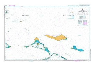
Admiralty standard nautical charts comply with Safety of Life at Sea (SOLAS) regulations and are ideal for professional, commercial and recreational use. Charts within the series consist of a range of scales, useful for passage planning, ocean crossings, coastal navigation and entering port.Standard Admiralty charts are folded to fit in a chart table drawer. If
Admiralty Chart PNG554 – Cape St George to Rabaul
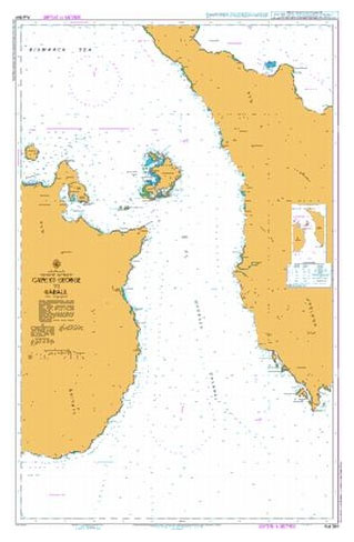
Admiralty standard nautical charts comply with Safety of Life at Sea (SOLAS) regulations and are ideal for professional, commercial and recreational use. Charts within the series consist of a range of scales, useful for passage planning, ocean crossings, coastal navigation and entering port.Standard Admiralty charts are folded to fit in a chart table drawer. If


