Category Archives: Maps
Albania South
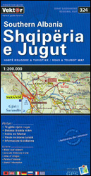
Southern Albania at 1:200,000 in a series of three indexed, GPS compatible touring maps from the Tirana-based cartographic publishers Vektor with a vivid presentation of the country’s topography through contours and bold altitude colouring, plus locations of campsites, beaches and other places of interest. Coverage starts just north of Vlorรซ on the coast and from
Berati Prefecture

Berati Prefecture at 1:100,000 in a series of handy size, waterproof and tear-resistant, contoured and GPS compatible road maps from the Tirana-based publishers Vektor. Landscape is presented by altitude colouring and contours lines at 100m intervals, with spot heights and a few more names of topographic features than found on Vektor’s 200K road maps of
Bulqiza Prefecture

Bulqiza Prefecture at 1:100,000 in a series of handy size, waterproof and tear-resistant, contoured and GPS compatible road maps from the Tirana-based publishers Vektor. Landscape is presented by altitude colouring and contours lines at 100m intervals, with spot heights and a few more names of topographic features than found on Vektor’s 200K road maps of
Delvina Prefecture

Delvina Prefecture at 1:75,000 in a series of handy size, waterproof and tear-resistant, contoured and GPS compatible road maps from the Tirana-based publishers Vektor. Landscape is presented by altitude colouring and contours lines at 100m intervals, with spot heights and a few more names of topographic features than found on Vektor’s 200K road maps of
Devolli Prefecture

Devolli Prefecture at 1:80,000 in a series of handy size, waterproof and tear-resistant, contoured and GPS compatible road maps from the Tirana-based publishers Vektor. Landscape is presented by altitude colouring and contours lines at 100m intervals, with spot heights and a few more names of topographic features than found on Vektor’s 200K road maps of
Villarrica, Llanquihue & Chiloe
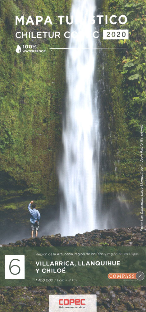
Villarrica, Llanquihue and Chiloe regions of Chile at 1:400,000 in a series of nine indexed and GPS compatible regional maps from Compass Editorial, printed on light, waterproof and tear-resistant synthetic paper. The maps provide an excellent representation of the topography and show many more locations than general maps of the whole country.Coverage in this title
Dibra Prefecture

Dibra Prefecture at 1:100,000 in a series of handy size, waterproof and tear-resistant, contoured and GPS compatible road maps from the Tirana-based publishers Vektor. Landscape is presented by altitude colouring and contours lines at 100m intervals, with spot heights and a few more names of topographic features than found on Vektor’s 200K road maps of
Cochamรณ – Puelo
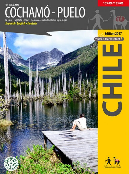
First travel map of the valleys Cochamรณ, Manso and Puelo, an area known for the climing area at La Junta, wild water rivers and the Tagua Tagua private nature park. General map at 1:75,000 scale, with altitude levels every 50m, hiking trails (distances in km and hours), lodgings, huts, camps etc. Detail map 1:25,000 of
Santiago Environs
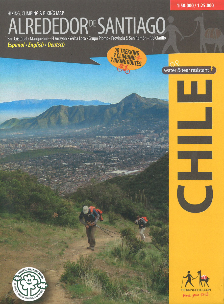
The Condor Circuit at 1:50,000/1:25,000 in a series of contoured, GPS compatible trekking and exploration maps at various scales form Trekkingchile. The main map at 1:50,000 covers the trekking area from Vilches Alto and Parque Inglรฉs eastwards beyond Volcรกn Descabezado Grande. Contours are at 50m intervals. The map shows local roads, paths and trekking trails.
Chile Compass Road Map
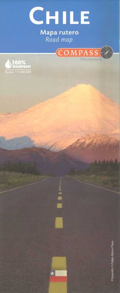
Chile on a waterproof and tear-resistant map at 1:1,300,000 from the locally-based Compass Editorial publishers, presenting the country on five panels. Road network is classified into five types: expressways, main, secondary and dirt roads; driving distances are shown on main and selected secondary routes, plus locations of petrol stations, tolls and borders crossings. Names of
Chiloe
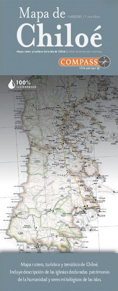
Road and theme map for tourists in Chiloรฉ. Contains a description of the churches declared world heritage as well as of the mythological characters of the islands.With a length of 180km and an average width of 50km, this archipelado is formed by more than fourty small islands and the main island: Isla Grande de Chiloรฉ.
Santiago de Chile
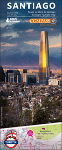
Santiago’s central districts at 1:8,000 on a large street plan from the Chilean publishers Compass Editorial, highlighting a wide range of facilities and places of interest, with extensive tourist information on the reverse, and printed on light, waterproof and tear-resistant synthetic paper.The plan prominently highlights the route of the city’s hop-on / hop-off sightsee bus
Valparaiso
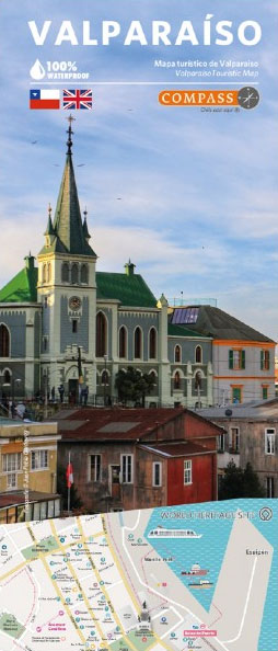
Valparaรญso City Map. Quick location of interest spots and their description in English.Valparaiso, Chile`s main port, was an obligated stop for sea commerce throughout the 18th and 19th centuries. This drammatically changed when the Panama Canal was opened. Valparaiso was declared World Heritage by the UNESCO. Its streets invite to visitors to beautiful views of
Copiapo – Elqui
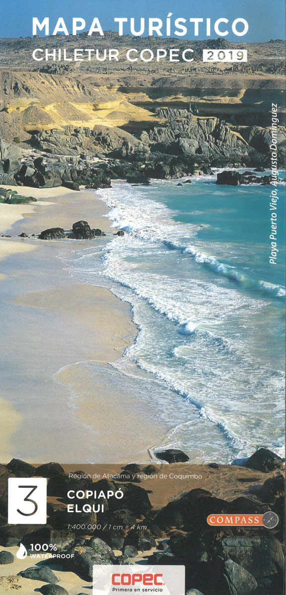
Copiapo Elqui, the valley of the Elqui and the surrounding region of northern Chile at 1:400,000 in a series of nine indexed and GPS compatible regional maps from Compass Editorial, printed on light, waterproof and tear-resistant synthetic paper. The maps provide an excellent representation of the topography and show many more locations than general maps
Zona Central Chile
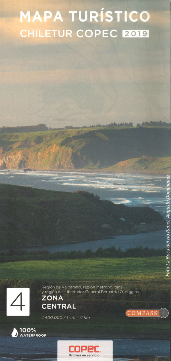
The Central Zone of Chile at 1:400,000 in a series of nine indexed and GPS compatible regional maps from Compass Editorial, printed on light, waterproof and tear-resistant synthetic paper. The maps provide an excellent representation of the topography and show many more locations than general maps of the whole country.Unlike most maps in this series,
Maule and Bio Bio
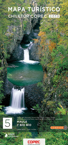
Maule and Bio Bio regions of Chile at 1:400,000 in a series of nine indexed and GPS compatible regional maps from Compass Editorial, printed on light, waterproof and tear-resistant synthetic paper. The maps provide an excellent representation of the topography and show many more locations than general maps of the whole country.Coverage in this title
Carretera Austral – Chile
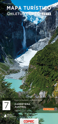
Chiletur Copec – Chilean Fjords regions of Chile at 1:400,000 in a series of nine indexed and GPS compatible regional maps from Compass Editorial, printed on light, waterproof and tear-resistant synthetic paper. The maps provide an excellent representation of the topography and show many more locations than general maps of the whole country.Coverage in this
Altos de Teno
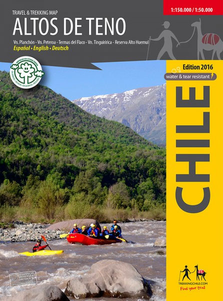
First map of the mountain range east of San Fernando and Curicรณ. General map 1: 150,000 of the area between the Tinguiririca Volcano (4280 m) and the Peteroa – Azufre Volcano (4113 m), with the Planchรณn Volcano (3985 m), the Alto del Padre Hill (3349) and the Alto Huemul Private Reserve. Two maps detail 1:
Campos de Hielo – Torres del Paine
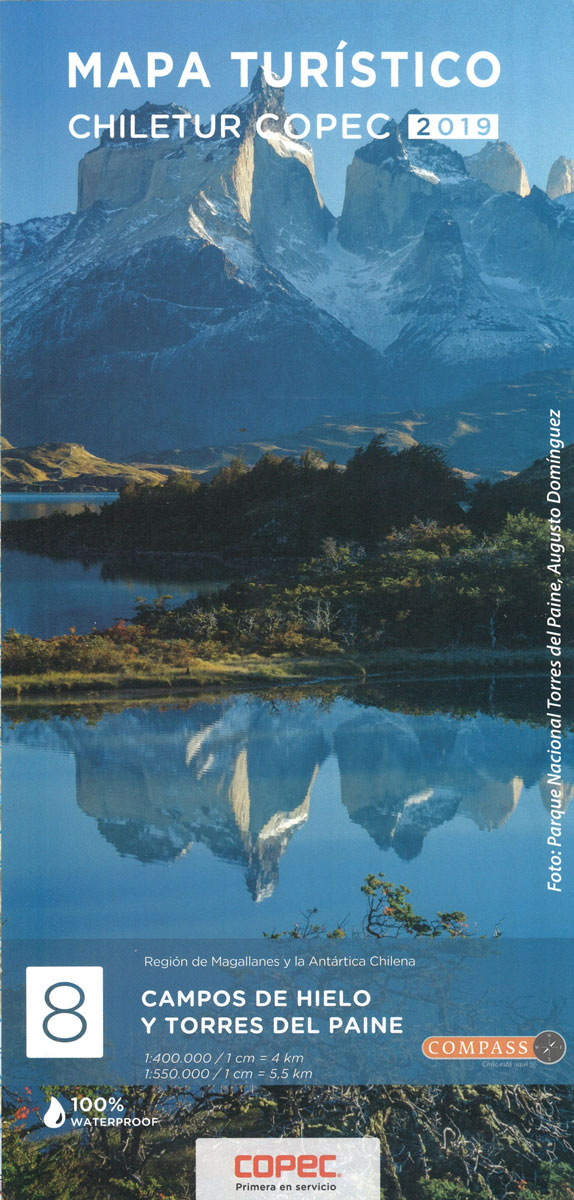
Campos de Hielo – Torres del Paine National Park regions of Chile in a series of nine indexed and GPS compatible regional maps from Compass Editorial, printed on light, waterproof and tear-resistant synthetic paper. The maps provide an excellent representation of the topography and show many more locations than general maps of the whole country.Coverage


