Category Archives: Maps
Largeau IGN NE-34
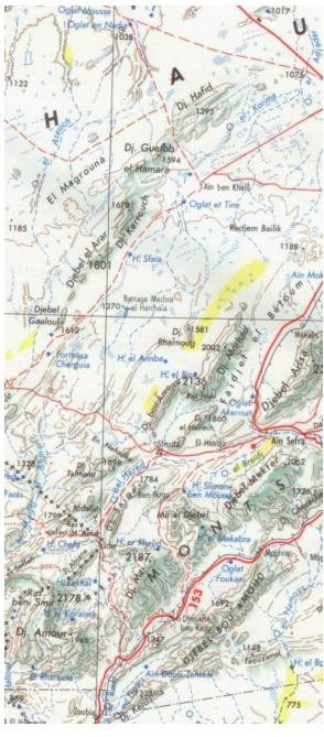
One of the titles in a series of topographic maps covering much of north-west Africa, produced as part of the IMW* project in 1960’s. Each map covers an area spanning 6ยฐ in longitude and 4ยฐ in latitude. There is some variation in colouring and the depiction of terrain, but hill-shading, spot heights and contours are
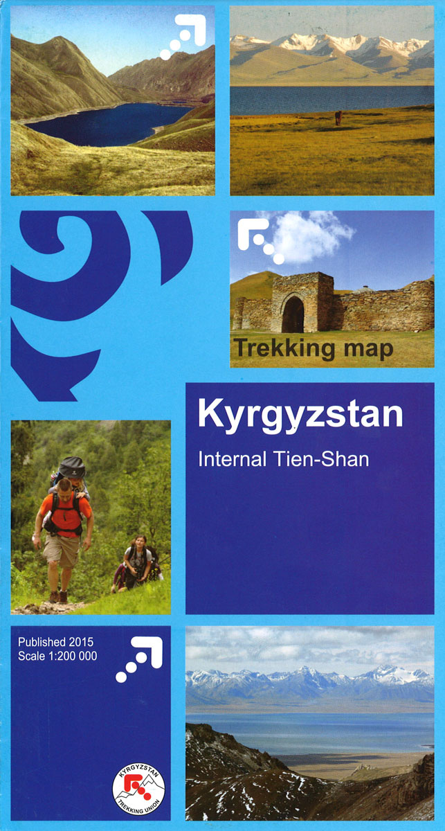
Tien Shan: Lake Issyk-Kul North Trekking Map
The area between Lake Issyk-Kul and the Kazakhstan border on a contoured and GPS compatible, double-sided topographic map at 1:100,000 from Goskartografiya in Bishkek, with all place names in the Cyrillic alphabet and an English map legend. Coverage extends eastwards from Orlovka, just west of the E125 road linking the lake with Tokmok, to Semenovka
Port Etienne IGN Map

One of the titles in a series of topographic maps covering much of north-west Africa, produced as part of the IMW* project in 1960’s. Each map covers an area spanning 6ยฐ in longitude and 4ยฐ in latitude. There is some variation in colouring and the depiction of terrain, but hill-shading, spot heights and contours are
Manzanillo
Topographic mapping from Mexico’s national survey agency, Instituto Nacional de Estadรญstica, Geografรญa e Informรกtica. The maps have contours at 20m intervals with relief shading and indicate various types of terrain and vegetation, e.g. dense vegetation, cultivated areas, swamps, sand dunes, salt pans, etc. UTM grid is at 10km intervals, with latitude and longitude shown by
Tepic

Topographic mapping from Mexico’s national survey agency, Instituto Nacional de Estadรญstica, Geografรญa e Informรกtica. The maps have contours at 20m intervals with relief shading and indicate various types of terrain and vegetation, e.g. dense vegetation, cultivated areas, swamps, sand dunes, salt pans, etc. UTM grid is at 10km intervals, with latitude and longitude shown by
Minatitlan

Topographic mapping from Mexico’s national survey agency, Instituto Nacional de Estadรญstica, Geografรญa e Informรกtica. The maps have contours at 20m intervals with relief shading and indicate various types of terrain and vegetation, e.g. dense vegetation, cultivated areas, swamps, sand dunes, salt pans, etc. UTM grid is at 10km intervals, with latitude and longitude shown by
Puerto Vallarta

Topographic mapping from Mexico’s national survey agency, Instituto Nacional de Estadรญstica, Geografรญa e Informรกtica. The maps have contours at 20m intervals with relief shading and indicate various types of terrain and vegetation, e.g. dense vegetation, cultivated areas, swamps, sand dunes, salt pans, etc. UTM grid is at 10km intervals, with latitude and longitude shown by
Zaachila

Topographic mapping from Mexico’s national survey agency, Instituto Nacional de Estadรญstica, Geografรญa e Informรกtica. The maps have contours at 20m intervals with relief shading and indicate various types of terrain and vegetation, e.g. dense vegetation, cultivated areas, swamps, sand dunes, salt pans, etc. UTM grid is at 10km intervals, with latitude and longitude shown by
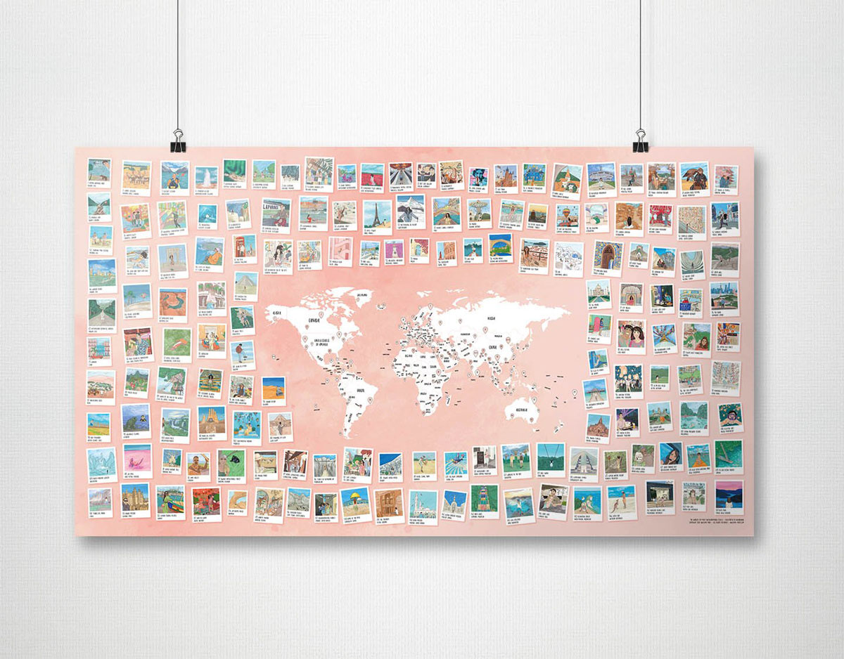
World Awesome The Best Photo Spots Wall Map
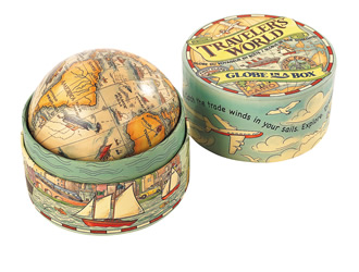
Traveler`s World Globe in Box
Snowdonia Mountain GuideUs Chart with Tick List
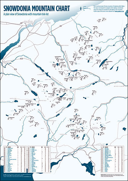
Pictorial wall chart of Snowdonia’s Mountains (size 42 x 59cm / 16.5″ x 23″ approx) with a tick-list of the region’s 74 Nuttals ‘“ peaks over 2000feet / 610 meters, plus four more peaks over 600m. The chart shows Snowdonia’s five ranges: Carneddau, Glyders, Snowdon, Moel Hebog and Moelwyns with rivers and lakes, plus main
World Awesome Maps Surftrip Wall Map
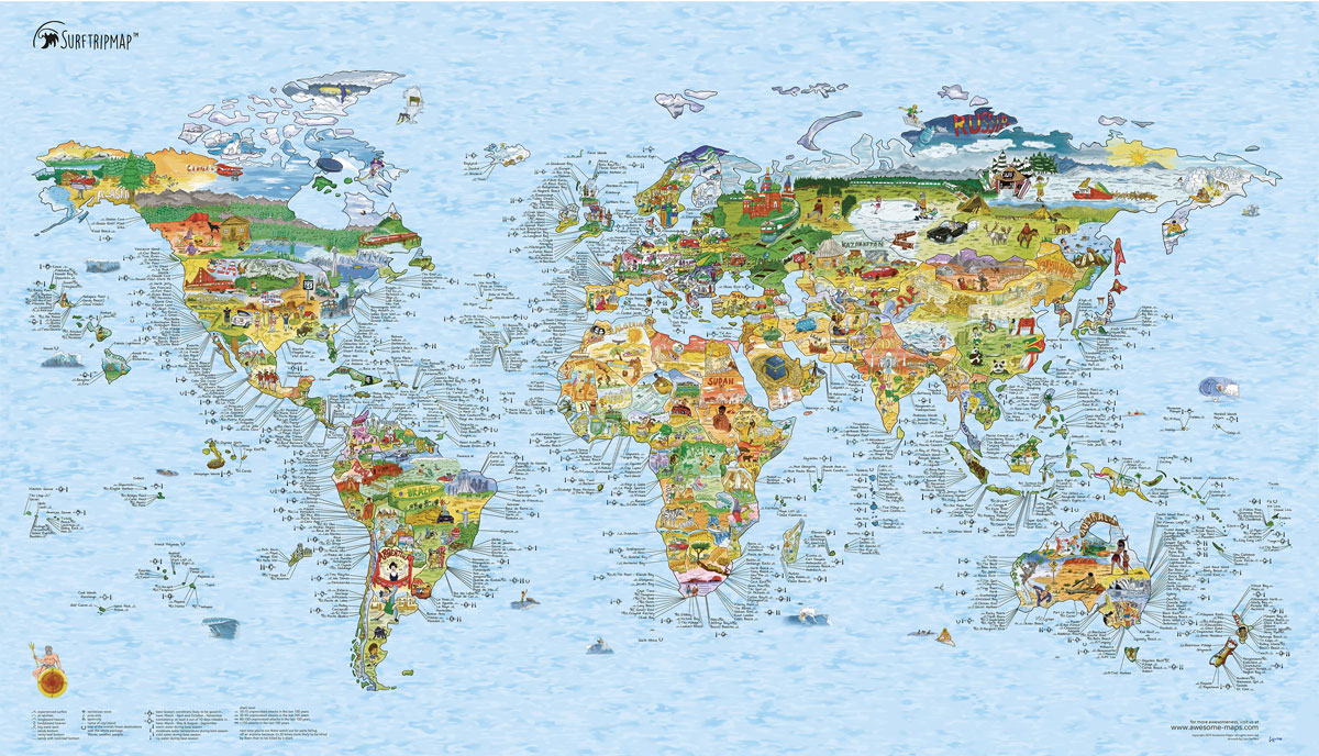
The Surftrip map shows you the world of surfing, from pole to pole and everywhere inbetween. Discover the best barrels, and the best logs to hang ten – along with destinations you probably never considered, and strategise your summer in style.- Illustrated world map with the sweetest swells across the globe, and lots of other
The Grand Tour – Europe Red Maps Set: London, Paris, Madrid, Berlin, Rome, Amsterdam, Vienna

Set of 7 City Guides to Amsterdam, Berlin, London, Madrid, Paris, Rome & Vienna.Discover the capitals and treasures of Europe`s great empires with this incredible seven map set. These city guides give you museum collection descriptions, famous landmarks, hundreds of the best designer boutiques, elegant centrally located hotels, theatre, cultural centers, parks and art galleries
World Awesome Maps Snowtrip Wall Map
Illustrated world map with over 400 ski resorts, information about snow and crowd conditions, the highest peaks and more. Get inspired for future trips, track your travels or simply marvel at the beautiful world of winter sports. Printed on writable, waterproof, tear proof Tyvek paper – ready to join you on your adventure. The map
Mahilyow (Mogilev)
West of Scotland Sea Kayaking Map

Sea kayaking map of the western coast of Scotland from See Kayak Oban publishers, showing best routes from the mainland to and around the islands, plus a street plan of Oban and plenty of tourist information.On one side is a map at 1:210,000 approx showing the coast from Glasgow and the Clyde, Bute, Jura and
214 Wainwright Fells and the tarns of the Lake District Wall Map

This beautifully illustrated wall map of the Lake District, depicts all of Wainwrights 214 Lakeland Fells, over two hundred Lakeland Tarns, twenty-three Youth Hostels, the road networks and towns and villages of the area.Each fell and tarn is grid referenced and colour coded to correspond with Wainwright`s classic Pictorial Guides. An ideal map for summit
Tien Shan: Lake Issyk-Kul North 100K Goskartografiya Trekking Map

The area between Lake Issyk-Kul and the Kazakhstan border on a contoured and GPS compatible, double-sided topographic map at 1:100,000 from Goskartografiya in Bishkek, with all place names in the Cyrillic alphabet and an English map legend. Coverage extends eastwards from Orlovka, just west of the E125 road linking the lake with Tokmok, to Semenovka


