Category Archives: Maps
Djibouti IGN 85004
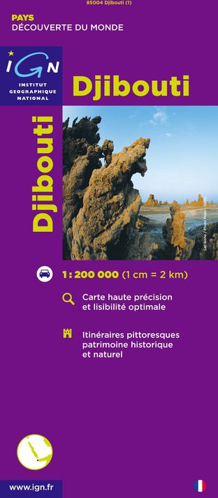
Djibouti at 1:200,000 on an indexed map from the Institut Gรฉographique National in Paris showing both the country’s road and rail networks and its physical geography, plus an enlargement of Djibouti City with its international airport.Road classification indicates unsurfaced routes and includes 4WD trails and tracks. Intermediate distances are marked on main roads and important
Mali IGN 85008
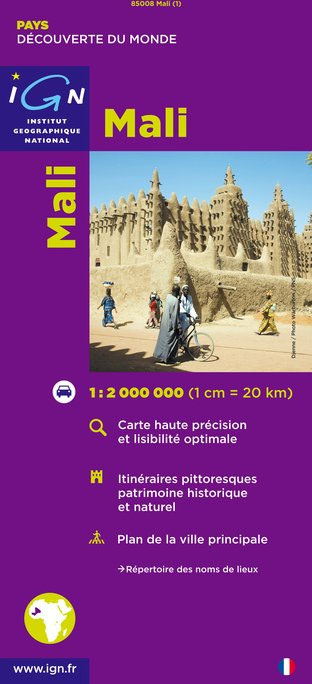
Mali at 1:2,000,000 on an indexed road map from the IGN, France’s national survey organization, with a street plan of Bamako, an administrative map of the country, a distance table, climate charts, etc. Road network is graded into six types and indicates seasonal routes and tracks not recommended for vehicles. Driving distances are marked on
Tibesti Est IGN NF-34
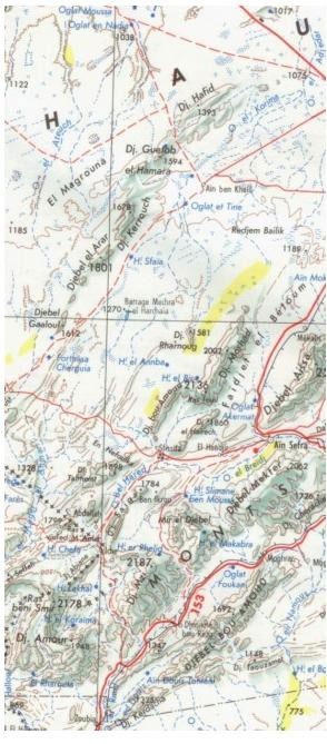
One of the titles in a series of topographic maps covering much of north-west Africa, produced as part of the IMW* project in 1960’s. Each map covers an area spanning 6ยฐ in longitude and 4ยฐ in latitude. There is some variation in colouring and the depiction of terrain, but hill-shading, spot heights and contours are
Central African Republic IGN 85011
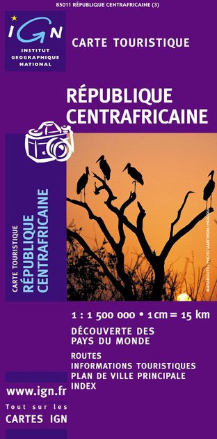
Indexed map with a plan of Bangui and an administrative map of the country. Topography and terrain are indicated by relief shading and spot heights, with forests, savanna, deserts, areas of seasonal inundation, and boundaries of national parks and forest reserves. Road network includes minor roads and tracks and shows location of petrol stations. The
Belgrade
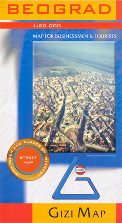
This street map covers the whole of Belgrade with an additional inset map at 1:15,000 concentrating on the city centre. Streets, railways and administrative boundaries are indicated, and public buildings, parks, forests and cemetaries are distinguished from the rest of the built-up areas. A variety of symbols indicate churches, mosques, synagogues and tourism features such
Borjomi George – Bakuriani Geoland 12
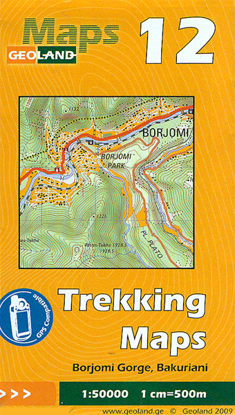
Borjomi George ‘“ Bakuriani area of central Georgia at 1:50,000 on a double-sided, contoured and GPS compatible map from Geoplan, with an overprint providing tourist information including local accommodation and sights.Maps in this series have contours at 20m intervals, with additional relief shading and numerous spot heights, plus colouring and graphics to indicate different types
Georgia Geoland Road Map
Georgia at 1:500,000 on a double-sided road map – paper version – from the Tbilisi-based Geoland, showing a large number of small villages and highlighting various places of interest. Topography is shown by relief shading with spot heights, plus graphics and colouring for wetlands, salt lakes, glaciers, and different type of vegetation/land use (forests, orchards,
Omalo – Pass Abano – Mt. Diklosmta Geoland 1
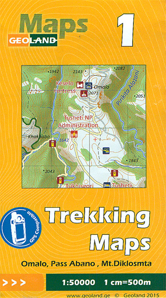
Omalo – Pass Abano – Mt. Diklosmta area of the Caucasus Mountains in Georgia at 1:50,000 on a double-sided, contoured and GPS compatible map from Geoplan, with an overprint providing tourist information including local accommodation and sights. This is the PAPER edition of the map, which is also available in a waterproof and tear-resistant version.Maps
Shatili – Mutso – Mt. Didi Borbalo Geoland 2
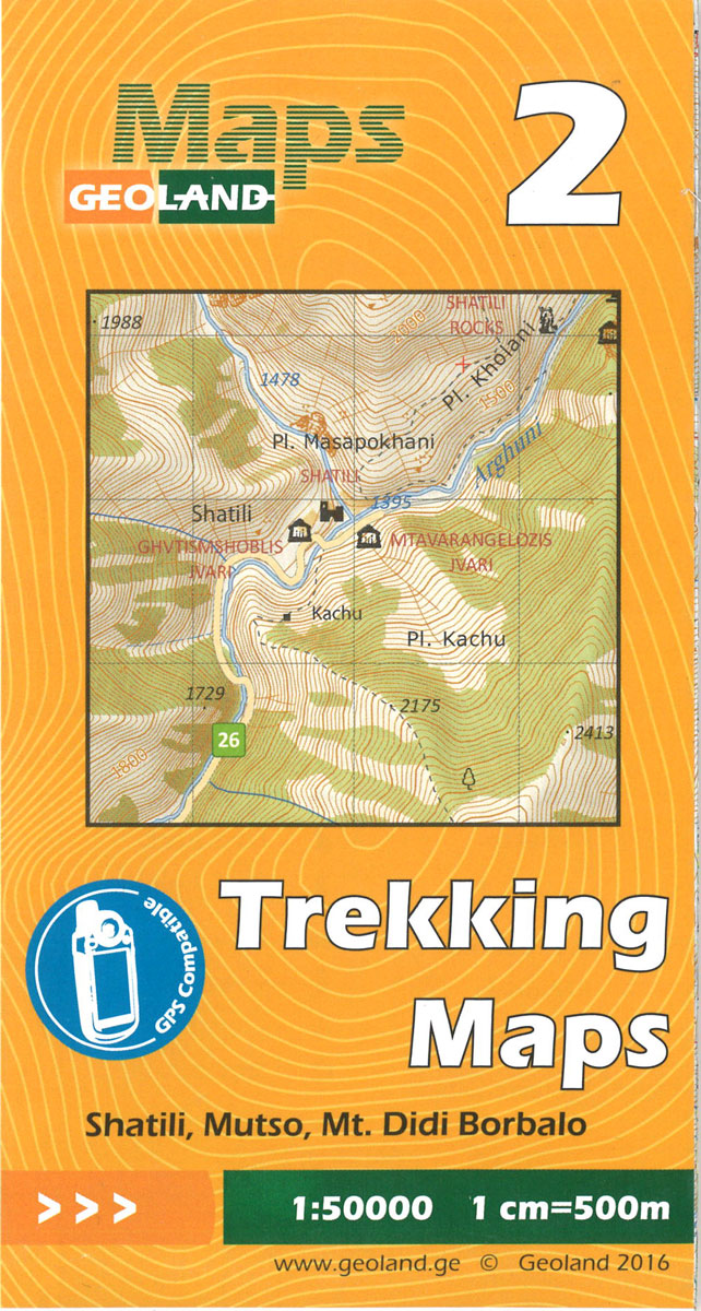
Shatili – Mutso – Mt. Didi Borbalo area of the Caucasus Mountains in Georgia at 1:50,000 on a double-sided, contoured and GPS compatible map from Geoplan, with an overprint providing tourist information including local accommodation and sights.Maps in this series have contours at 20m intervals, with additional relief shading and numerous spot heights, plus colouring
France IGN Geological Map 904
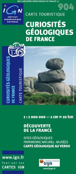
France: Geological Curiosities Map from the IGN combines a road map highlighting numerous sites of special geological interest with, on the reverse, a geological map from the BRGM, the country’s geological survey organization.On one side a road map of the country is overprinted with symbols highlighting places of special geological interest: geological reserves, volcanoes, caves,
Corsica 1768 Historical Wall Map
Garoua IGN Map

One of the titles in a series of topographic maps covering much of north-west Africa, produced as part of the IMW* project in 1960’s. Each map covers an area spanning 6ยฐ in longitude and 4ยฐ in latitude. There is some variation in colouring and the depiction of terrain, but hill-shading, spot heights and contours are
Dakar IGN Map

One of the titles in a series of topographic maps covering much of north-west Africa, produced as part of the IMW* project in 1960’s. Each map covers an area spanning 6ยฐ in longitude and 4ยฐ in latitude. There is some variation in colouring and the depiction of terrain, but hill-shading, spot heights and contours are
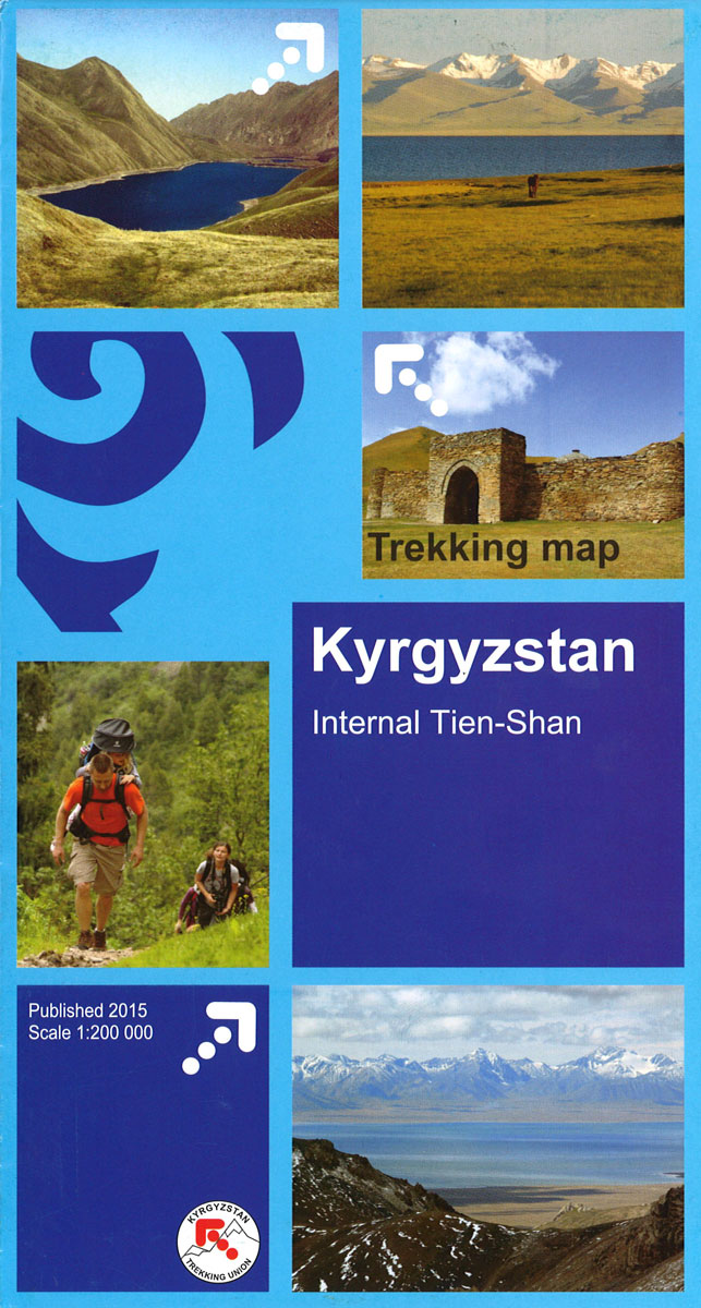
Tien Shan: Bishkek & Kyrgyz Range – Kรผngรถy Ala-Too Range 100K Gostartografiya Trekking Map
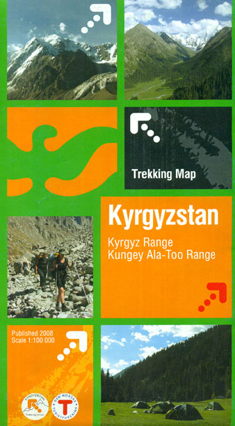
Two separate areas of the Tien Shan Mountains in Kyrgyzstan on a contoured and GPS compatible, double-sided topographic map at 1:100,000 from Goskartografiya in Bishkek, with place names in the Cyrillic alphabet and an English map legend. On one side is the Kyrgyz Range, with coverage extending from Bishkek southwards to its high summits including
Agadez IGN Map

One of the titles in a series of topographic maps covering much of north-west Africa, produced as part of the IMW* project in 1960’s. Each map covers an area spanning 6ยฐ in longitude and 4ยฐ in latitude. There is some variation in colouring and the depiction of terrain, but hill-shading, spot heights and contours are
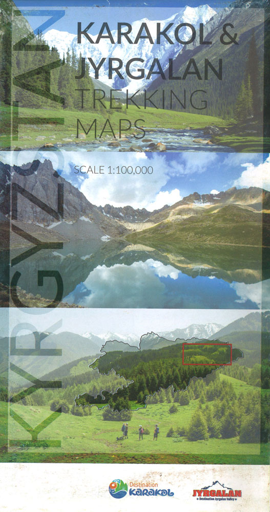
Tian Shan: Karakol – Engilchek Glacier – Jengish Chokusu (Pik Pobedy) – Khan Tengri Goskartografiya Trekking Map
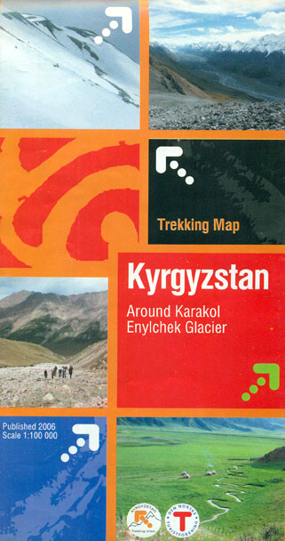
The easternmost part of Kyrgyzstan, between Lake Issyk-Kul and the Engilchek Glacier, on a contoured and GPS compatible, double-sided topographic map at 1:100,000 from Goskartografiya in Bishkek, with most place names in the Latin alphabet and an English map legend. Coverage extends eastwards from Kyzyl-Suu, the easternmost part of Lake Issyk-Kul and Karakol to the
Blima IGN Map

One of the titles in a series of topographic maps covering much of north-west Africa, produced as part of the IMW* project in 1960’s. Each map covers an area spanning 6ยฐ in longitude and 4ยฐ in latitude. There is some variation in colouring and the depiction of terrain, but hill-shading, spot heights and contours are


