Category Archives: Maps
Dalmatia 2-Map Set

The Dalmatian Coast of the Adriatic on a set of two double-sided road maps at 1:100,000 from the Ljubljana-based Kartografija with good presentation of the topography of the islands and of the adjoining mainland, car ferry connections, etc. Coverage starts from the central part of Pag and on the mainland from north of Karlobag, so
Tunisia IGN Map 85109
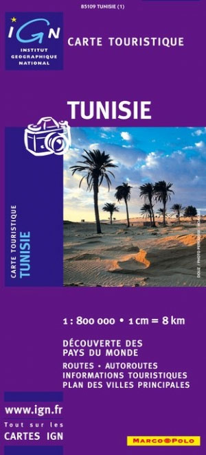
General road maps with street plans of Tunis, Kairouan, and Sousse, and an enlargement for Jerba Island. Topography is indicated by relief shading and spot heights. The map shows railways and road network with secondary and minor roads. Places of interest are highlighted. The prohibited zone in the southern tip of the country is clearly
The Baรฏse and the Lower Lot
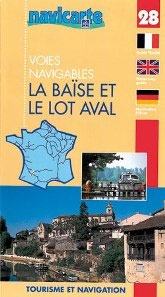
The Baรฏse and the lower Lot in a series of guides from Editions Grafocarte/Editions de l`Ecluse to France’s canals and navigable waterways with mapping showing facilities and navigational hazards along each route, general information on signals and regulations, and descriptions of places of interest. Each guide provides mapping of the route showing locks, stop gates,
Canal de Bourgogne: Laroche to St-Jean-de Losne
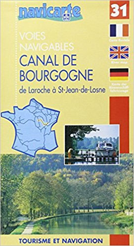
Folded overview map of the 242km-long Canal de Bourgogne, between the Yonne and the Saรดne, with additional coverage of the Yonne from Auxerre to Joigny and the Saรดne further upstream to the canal joining it to the Marne and to the Apremont lock. The map shows various facilities and hazards along the route, as described
World Physical / Le Monde Physique IGN Wall Map
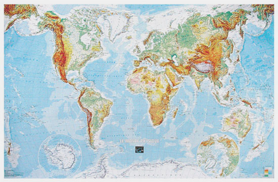
Physical world map for the Francophiles, 127 x 83 cm (4ft 2″x 2ft 8″ approx.), with lovely bright but not too bold colours, vivid relief shading and all the place names in French. The Arctic and the Antarctic are shown on two circular insets.Central Pacific, from Alaska/Siberia to New Zealand, is repeated on both sides
Monde Connu en 1688 par Jaugeon
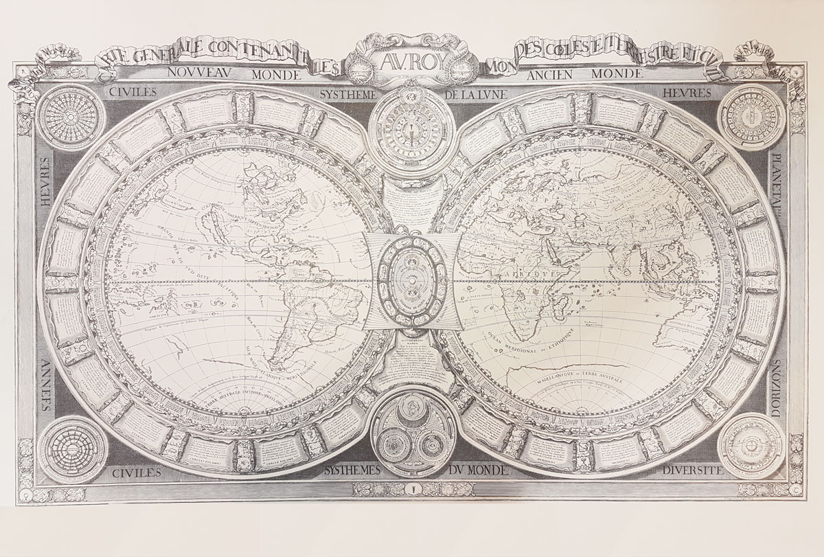
High quality reproduction from the IGN of a beautifully engraved map of the world prepared in 1688 by Jacques Jaugeon, French scholar and royal typographer during the reign of King Louis XIV. The map presents the world in two hemispheres, surrounded by allegorical figures representing the constellations and definitions of geographical terms (meridians, parallels, poles,
Carte de France 1804
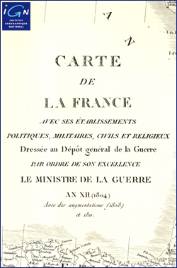
Historical map of France from 1804 printed on thick art card. It extends as far as southern England (to Oxford), the Netherlands, the Ruhr, Leipzig, Dresden, Venice and Tuscany. The legend at the foot of the map reads: “Carte de la France avec ses รฉtablissements politiques, militaires, civils et religieux. Dressรฉe au Dรฉpรดt gรฉnรฉral de
Iles d`Hyรจres IGN Mini Map
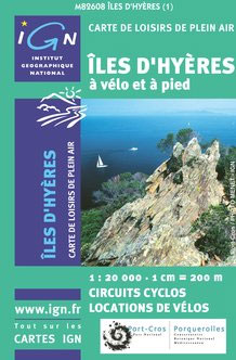
Iles d`Hyรจres in Provence at 1:25,000 on mini map produced by IGN using their topographic survey mapping. The map has extensive overprint highlighting local signposted hiking trails and cycle routes, as well as recreational facilities, including equestrian centres and golf courses, cycle hire facilities, various places of interest, etc. This version, unlike its corresponding maps
Djibouti IGN 85004
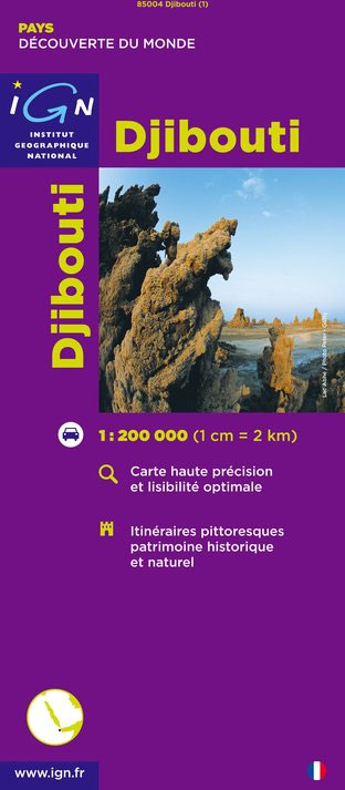
Djibouti at 1:200,000 on an indexed map from the Institut Gรฉographique National in Paris showing both the country’s road and rail networks and its physical geography, plus an enlargement of Djibouti City with its international airport.Road classification indicates unsurfaced routes and includes 4WD trails and tracks. Intermediate distances are marked on main roads and important
Mali IGN 85008
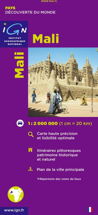
Mali at 1:2,000,000 on an indexed road map from the IGN, France’s national survey organization, with a street plan of Bamako, an administrative map of the country, a distance table, climate charts, etc. Road network is graded into six types and indicates seasonal routes and tracks not recommended for vehicles. Driving distances are marked on
Tibesti Est IGN NF-34
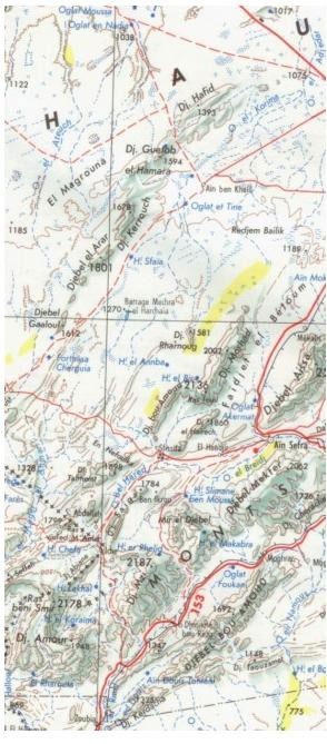
One of the titles in a series of topographic maps covering much of north-west Africa, produced as part of the IMW* project in 1960’s. Each map covers an area spanning 6ยฐ in longitude and 4ยฐ in latitude. There is some variation in colouring and the depiction of terrain, but hill-shading, spot heights and contours are
Central African Republic IGN 85011
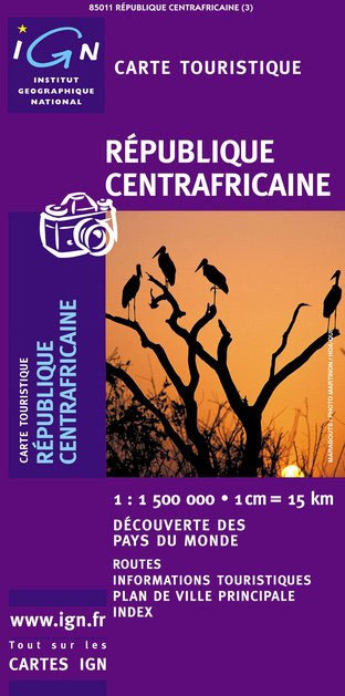
Indexed map with a plan of Bangui and an administrative map of the country. Topography and terrain are indicated by relief shading and spot heights, with forests, savanna, deserts, areas of seasonal inundation, and boundaries of national parks and forest reserves. Road network includes minor roads and tracks and shows location of petrol stations. The
In Salah IGN Map

One of the titles in a series of topographic maps covering much of north-west Africa, produced as part of the IMW* project in 1960’s. Each map covers an area spanning 6ยฐ in longitude and 4ยฐ in latitude. There is some variation in colouring and the depiction of terrain, but hill-shading, spot heights and contours are
Burundi IGN 85013
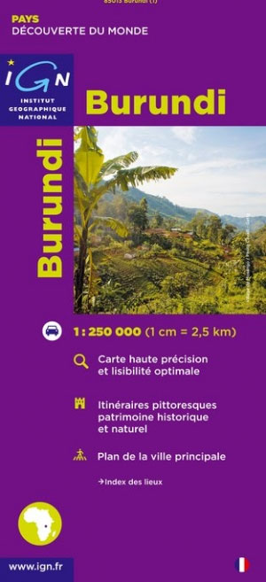
Detailed map of Burundi with small villages and settlements, and a street plan of Bujumbura. Contours at 200m and relief shading indicate the terrain and the map also shows various types of vegetation. Roads are shown with distances and petrol stations, and tracks are also marked. Other information includes national parks ans reserves, hotels and
Sfax IGN Map

One of the titles in a series of topographic maps covering much of north-west Africa, produced as part of the IMW* project in 1960’s. Each map covers an area spanning 6ยฐ in longitude and 4ยฐ in latitude. There is some variation in colouring and the depiction of terrain, but hill-shading, spot heights and contours are
Republic of Congo IGN Road Map 85015
Congo (Brazaville) on a road map from the IGN in Paris, with relief shading and colouring/graphics indicating different types of vegetaion and terrain: forest, grassland, marches, areas liable to flooding. Road and rail connections are shown, with a separate distance table between main centres of population. A large diagram shows the administrative divisions of the
Senegal IGN 85018
Senegal road map at 1:1,000,000 from the IGN, France’s national survey organization, with plans of Dakar and Saint-Louis, plus an enlargement for the Cap Vert peninsula. The map has relief shading and indicates areas of different types of vegetation. Railways and various sizes of airfields and aerodromes shown, and the road network indicates seasonal routes.


