Category Archives: Maps
Julian Alps
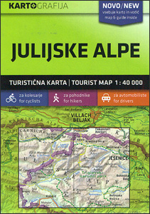
Julian Alps in a series of double-sided maps at 1:40,000 from Kartografija in Ljubljana, accompanied by a 71-page bilingual Slovenian/English colour booklet with 42 pages of descriptions of the region’s numerous places of interest, plus brief descriptions of 44 recommended hiking trails and of 9 cycling routes, from 8.5km to 48km long and accompanied by
Kamnik-Savinja Alps – Slovenian Carinthia
Kamnik-Savinja Alps – Slovenian Carinthia in a series of double-sided maps at 1:40,000 from Kartografija in Ljubljana, accompanied by bilingual guides with descriptions of hiking trails, cycling routes, places of interest, lists of mountain huts, etc.The maps have contours at 20m intervals, enhanced by relief shading and graphics to provide a very effective picture of
Pohorje
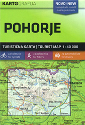
Pohorje in a series of double-sided maps at 1:40,000 from Kartografija in Ljubljana, accompanied by an 87-page bilingual Slovenian/English colour booklet with 60 pages of descriptions of the region’s numerous places of interest, plus brief descriptions of 29 recommended hiking trails and of 12 cycling routes, from 30km to 45km long and accompanied by route
Pomurje
Pomurje in a series of double-sided maps at 1:40,000 from Kartografija in Ljubljana, accompanied by bilingual guides with descriptions of hiking trails, cycling routes, places of interest, lists of mountain huts, etc.The maps have contours at 20m intervals, enhanced by relief shading and graphics to provide a very effective picture of the topography. Waymarked hiking
Posocje
Posocje in a series of double-sided maps at 1:40,000 from Kartografija in Ljubljana, accompanied by bilingual guides with descriptions of hiking trails, cycling routes, places of interest, lists of mountain huts, etc.The maps have contours at 20m intervals, enhanced by relief shading and graphics to provide a very effective picture of the topography. Waymarked hiking
Skofjelosko – Idrijsko – Cerkljansko Hribovje
Skofjelosko – Idrijsko – Cerkljansko Hribovje region in a series of double-sided maps at 1:40,000 from Kartografija in Ljubljana, accompanied by bilingual guides with descriptions of hiking trails, cycling routes, places of interest, lists of mountain huts, etc.The maps have contours at 20m intervals, enhanced by relief shading and graphics to provide a very effective
Notranjski Kras – Brkini – Dolenjska – Bela Krajina Kartografija Tourist Map
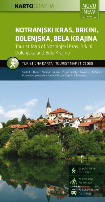
Notranjski Kras, Brkini, Dolenjska and Bela Krajina regions of southern Slovenia on a contoured and GPS compatible map at 1:75,000 from the Ljubljana-based Kartografija. The map is double-sided and includes bilingual English/Slovenian descriptions of the region’s best sights.Maps in this series from Kartografija, covering most of Slovenia at 50K or 75K, have contours at 20m
Ljubljana and Environs Kartografija Tourist Map
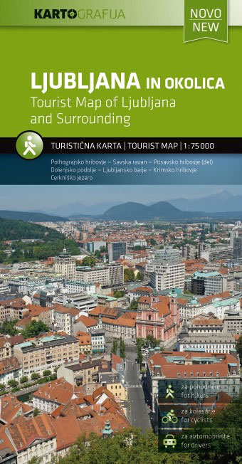
Ljubljana and Environs on a contoured and GPS compatible map at 1:75,000 from the Ljubljana-based Kartografija. On the reverse are bilingual English/Slovenian descriptions of the region’s best sights.Maps in this series from Kartografija, covering most of Slovenia at 50K or 75K, have contours at 20m intervals, enhanced by relief shading and plenty of spot heights,
Posavsko Hribovje Kartografija Tourist Map
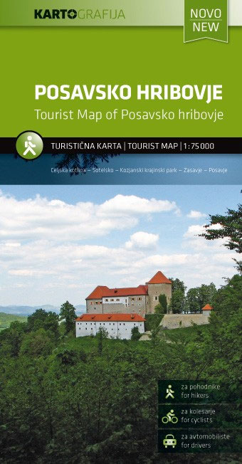
Posavsko Hribovje region of eastern Slovenia, on a contoured and GPS compatible map at 1:75,000 from the Ljubljana-based Kartografija. On the reverse are bilingual English/Slovenian descriptions of the region’s best sights.Maps in this series from Kartografija, covering most of Slovenia at 50K or 75K, have contours at 20m intervals, enhanced by relief shading and plenty
Burkina Faso IGN 85020
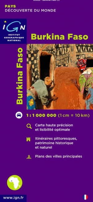
Burkina Faso at 1:1,000,000 on a map from the IGN, French national survey organization, with street plans of Ouagadougou and Dodo-Dioulasso. Roads are classified according to their usability in wet conditions. Distances are shown on most routes and locations of fuel supplies are marked. The map also highlights scenic routes. Railways are shown with stations
Primorska Kartografija Tourist Map
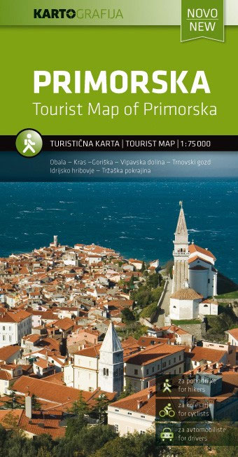
Primorska region of Slovenia on a contoured and GPS compatible map at 1:75,000 from the Ljubljana-based Kartografija. Coverage includes the Italian coast from Monfalcone to Trieste. On the reverse are bilingual English/Slovenian descriptions of the region’s best sights.Maps in this series from Kartografija, covering most of Slovenia at 50K or 75K, have contours at 20m
Niger IGN 85029
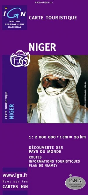
General map with bold relief shading and bright colours indicating various types of terrain and vegetation. Road information includes seasonal routes and petrol stations. The map shows local aerodromes, hospitals and medical centres, various accommodation facilities, etc. A full place name index is included along with an administrative map of the country, a distance chart,
Istria – Kvarner
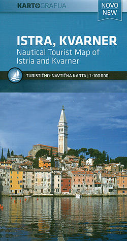
Istria and Kvarner, the northern part of Croatia’s Adriatic coast, at 1:100,000 on a detailed, GPS compatible double-sided road map from Kartografija in Ljubljana highlighting picturesque locations. On one side is Istria with coverage extending north to Trieste – on the reverse the map shows the northern part of the Adriatic coast and its islands,
Cameroon IGN 85030
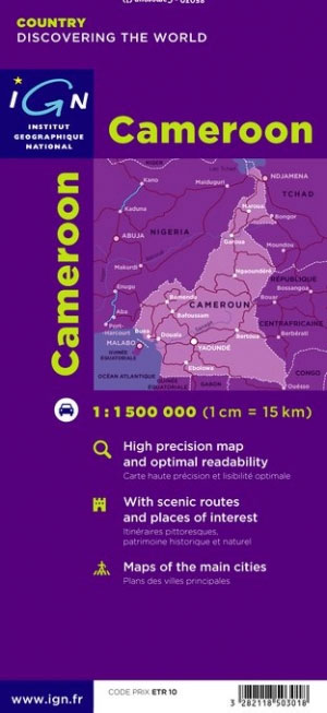
General road map with a large number of small villages and settlements. Relief shading indicates the terrain, showing forested areas, the savanna, swamps, and places liable to flooding. Road network shows which secondary roads are passable only during the dry season and highlights scenic routes. Other information includes railways, petrol stations, accommodation, hospitals, post offices,
Dalmatia 2-Map Set

The Dalmatian Coast of the Adriatic on a set of two double-sided road maps at 1:100,000 from the Ljubljana-based Kartografija with good presentation of the topography of the islands and of the adjoining mainland, car ferry connections, etc. Coverage starts from the central part of Pag and on the mainland from north of Karlobag, so
Tunisia IGN Map 85109
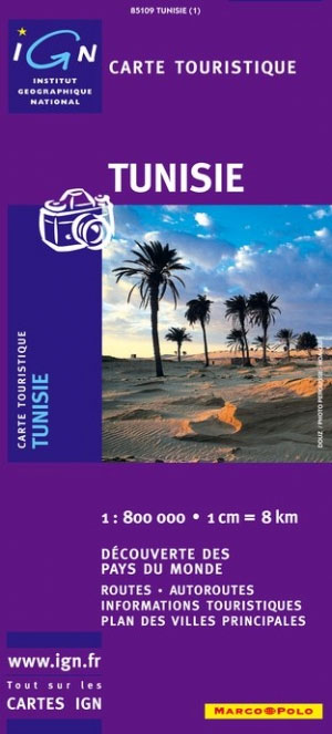
General road maps with street plans of Tunis, Kairouan, and Sousse, and an enlargement for Jerba Island. Topography is indicated by relief shading and spot heights. The map shows railways and road network with secondary and minor roads. Places of interest are highlighted. The prohibited zone in the southern tip of the country is clearly
The Baรฏse and the Lower Lot
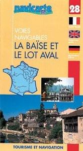
The Baรฏse and the lower Lot in a series of guides from Editions Grafocarte/Editions de l`Ecluse to France’s canals and navigable waterways with mapping showing facilities and navigational hazards along each route, general information on signals and regulations, and descriptions of places of interest. Each guide provides mapping of the route showing locks, stop gates,
Canal de Bourgogne: Laroche to St-Jean-de Losne
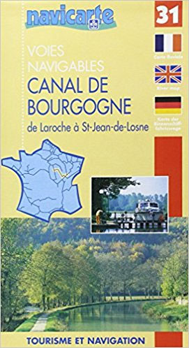
Folded overview map of the 242km-long Canal de Bourgogne, between the Yonne and the Saรดne, with additional coverage of the Yonne from Auxerre to Joigny and the Saรดne further upstream to the canal joining it to the Marne and to the Apremont lock. The map shows various facilities and hazards along the route, as described
Tombouctou IGN Map

One of the titles in a series of topographic maps covering much of north-west Africa, produced as part of the IMW* project in 1960’s. Each map covers an area spanning 6ยฐ in longitude and 4ยฐ in latitude. There is some variation in colouring and the depiction of terrain, but hill-shading, spot heights and contours are
Magnetic World Map on Fiberboard
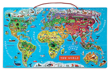
Big, pretty and informative magnetic jigsaw puzzle of the world with 92 thick and easy-to-handle magnets presenting most countries with their capital and often other major cities, plus illustrations of features associated with them, e.g. famous sights, mountain ranges, animals, typical products, etc. All place names are in their English version. The sturdy magnetic base