Category Archives: Maps
Triglav Kartografija WATERPROOF Hiking Map
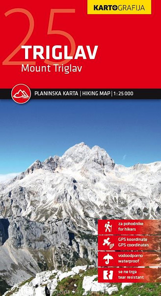
The central part of the Triglav National Park on a light, waterproof and tear-resistant, contoured and GPS compatible map at 1:25,000 from Kartografija, with on the reverse details of local mountain shelters with photos and QR codes. The map is centered on the peak of Triglav and coverage extends north to Kranjska Gora, south to
Posavsko Hribovje East: Boc – Bohor Slovenian Alpine Club 50K Map
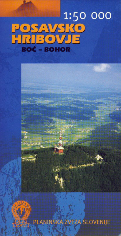
Eastern Posavsko Hribovje, the Boc ‘“ Bohor area at 1:50,000 in a series of contoured, GPS compatible recreational maps from Planinska zveza Slovenie – Slovenian Alpine Club, covering Slovenia’s popular hiking regions at 1:50,000 or 1:25,000. Contours are at 20m, with a 2km UTM grid plus 1’ margin ticks. On the reverse are details of
Julian Alps Kartografija WATERPROOF Hiking Map
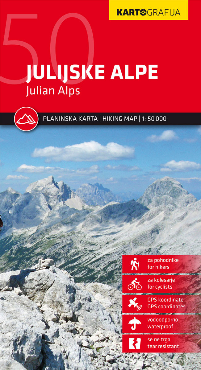
Julian Alps hiking map by Kartografija at a scale of 1: 50,000. The map includes GPS coordinates and is printed on waterproof paper. The reverse consists of a tourist guide with descriptions of tourist sites and mountain huts, with photographs. This map contains all information on mountain routes, accesses, attractions and mountain chalets.The map is
Kranjska Gora Kartografija WATERPROOF Hiking Map
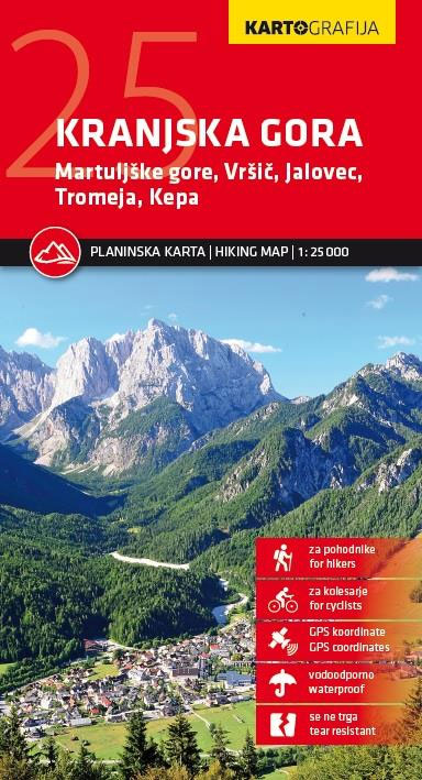
Kranjska Gora hiking map by Kartografija at a scale of 1: 25,000. The map includes GPS coordinates and is printed on waterproof paper. The reverse consists of a tourist guide with descriptions of tourist sites, mountain huts and a city plan Kranjska Gora, with photographs. This map contains all information on mountain routes, accesses, attractions
Bohinj Kartografija WATERPROOF Hiking Map
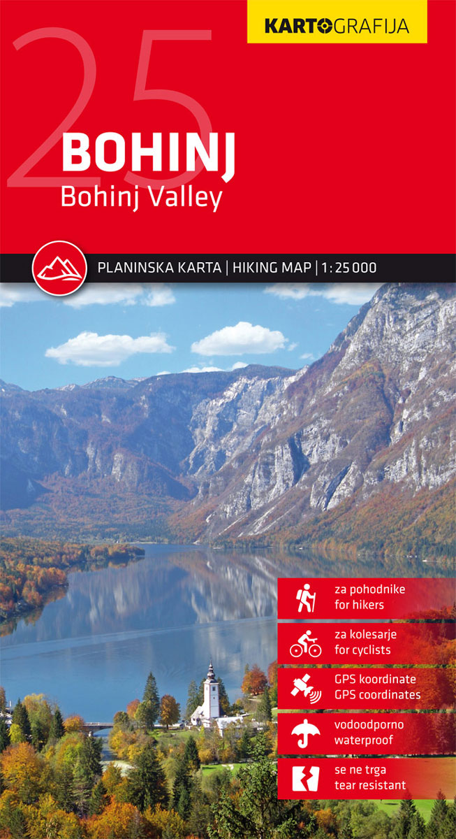
Bohinj hiking map by Kartografija at a scale of 1: 25,000. The map includes GPS coordinates and is printed on waterproof paper. The reverse consists of a tourist guide with descriptions of tourist sites, mountain huts and a city plan Bohinjska Bistrica, with photographs. This map contains all information on mountain routes, accesses, attractions and
ล alek Valley
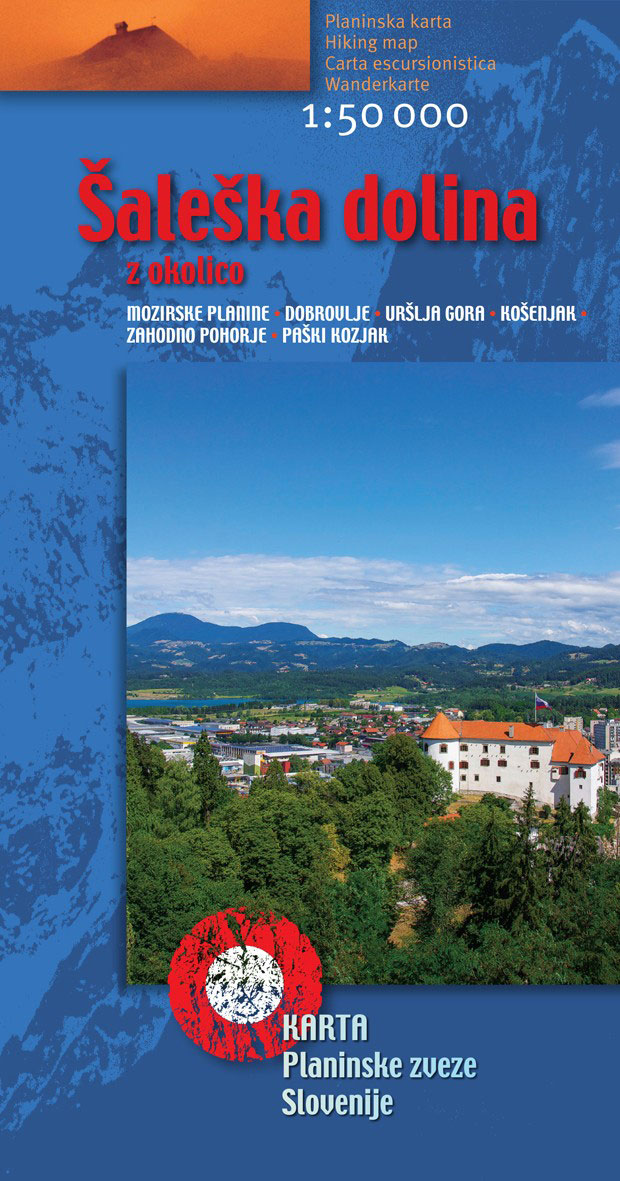
In the north, the map reaches the Austrian border, in the south to Prebold, in the east to Vitanje and in the west to Meลพica. On the map, beside the hiking trails are also climbing places. On the reverse side, with information on access, passage and other information, the mountain posts that are covered by
Primorska – Trieste

Primorska – Trieste region in a series of double-sided maps at 1:40,000 from Kartografija in Ljubljana, accompanied by bilingual guides with descriptions of hiking trails, cycling routes, places of interest, lists of mountain huts, etc.The maps have contours at 20m intervals, enhanced by relief shading and graphics to provide a very effective picture of the
Slovenia – Istria
Slovenia with the whole of Istria and the nearby islands on an indexed road map at 1:270,000 from Kartografija, with an enlargement showing in more detailed road access to central Ljubljana. Coverage includes much of Carinthia and north-western Croatia with Zagreb, plus on the reverse in a separate panel Istria with the islands of Krk,
Triglav Pocket Map

The central area of the Triglav National Park around the peak of Triglav at 1:25,000 on a contoured, GPS compatible pocket map from Kartografija, with hiking trails, including brief descriptions of eight recommended routes, mountain huts, interesting natural sites, etc. Along the lower slopes a few cycling routes are also highlighted.Kartografija’s pocket hiking maps at
Bled Pocket Map
Bled and its lake in the Julian Alps at 1:25,000 on a contoured, GPS compatible pocket map from Kartografija highlighting hiking and cycling trails, plus extensive notes about the area and its sights, lists of tourist accommodation, recommendations for restaurants and tavernas, etc.Kartografija’s pocket hiking maps at 1:25,000 show walking trails and cycling routes, along
Bohinj Pocket Map
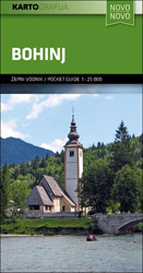
Bohinj Lake and the surrounding area of the Julian Alps at 1:25,000 on a contoured, GPS compatible pocket map from Kartografija highlighting hiking and cycling trails, plus extensive notes about the area and its sights, lists of tourist accommodation, recommendations for restaurants and tavernas, etc.Kartografija’s pocket hiking maps at 1:25,000 show walking trails and cycling
Ljubljana
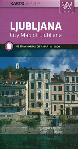
Ljubljana with its outer suburbs at 1:15,000 on an indexed street plan from the locally based Kartografija, with an enlargement at 1:8,000 showing the city centre in greater detail, plus a diagram of local bus routes.The plan highlights main traffic arteries across the city and shows one way streets, car parks and locations of petrol
ล marna Gora – Raลกica Pocket Map
ล marna Gora – Raลกica recreational area just north of Ljubljana on a handy size pocket map from Kartografija. On one side is a GPS compatible topographic map at 1:25,000 of the area between Menges and Medvode overprinted with hiking trails, cycling routes and other tourist information including hotels, campsites and mountain huts, inns, recreational facilities,
Maribor

Maribor with its outer suburbs at 1:15,000 on an indexed street plan from the locally based Kartografija, with an enlargement at 1:5,200 showing the city centre in greater detail, plus a diagram of local bus routes and a road map of the environs.The plan highlights main traffic arteries across the city and shows one way
Stajerska – Slovene Hills – Haloze – Boc Kartografija Tourist Map
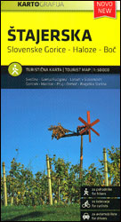
Stajerska region of north-eastern Slovenia on a contoured and GPS compatible map at 1:50,000 from the Ljubljana-based Kartografija, with coverage centred on Ptuj and including Maribor on the western edge of the map. On the reverse are bilingual English/Slovenian descriptions of the region’s best sights.Maps in this series from Kartografija, covering Slovenia at 50K or
Montenegro Coast
The coast of Montenegro at 1:100,000 on a detailed, contoured and GPS compatible road map from Kartografija in Ljubljana, with on the reverse bilingual descriptions of numerous places of interest illustrated with colour photographs.The map has contours at 40m intervals plus altitude colouring and relief shading, with spot heights for local peaks. Road network includes
Slovenia Motorcycle Atlas
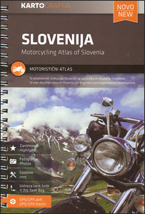
Motorcycling road atlas of Slovenia from the Ljubljana- based Kartografija in a handy-size A5 spiral-bound format, showing 12 recommended tours, each accompanied by photos of best sights. Each tour presented on a two-page map spread, with scales varying from 1:245,000 to 1:435,000, according to the length of the circuit.The route is prominently highlighted on the
Montenegro
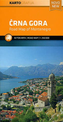
Montenegro at 1:250,000 on an indexed road map from Kartografija in Ljubljana, with bright altitude colouring providing good presentation of the country’s topography, national parks prominently marked, etc.The map has colourful altitude colouring enhanced by relief shading, with plenty of names of mountain ranges, etc, to provide a vivid picture of the country’s topography. National
Gorenjska

Gorenjska region in a series of double-sided maps at 1:40,000 from Kartografija in Ljubljana, accompanied by bilingual guides with descriptions of hiking trails, cycling routes, places of interest, lists of mountain huts, etc.The maps have contours at 20m intervals, enhanced by relief shading and graphics to provide a very effective picture of the topography. Waymarked
Julian Alps
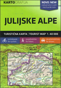
Julian Alps in a series of double-sided maps at 1:40,000 from Kartografija in Ljubljana, accompanied by a 71-page bilingual Slovenian/English colour booklet with 42 pages of descriptions of the region’s numerous places of interest, plus brief descriptions of 44 recommended hiking trails and of 9 cycling routes, from 8.5km to 48km long and accompanied by


