Category Archives: Maps
Metal Adventurer`s Compass
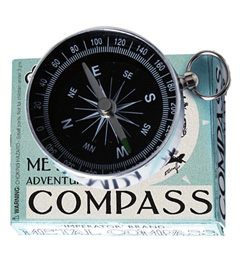
For adventures in the big outdoors, a compass is essential. Made from sturdy metal in a traditional style, this pocket sized compass will tell you the direction you need to go.
Go World Sticker Map
See how seasoned a traveller you are with this black and white Go World poster that allows you to peel of the countries you have visited. To start with the whole poster is black, once you peel off each country the white image will be visible. You can put the piece you have peeled off
Adventurer`s Headlight
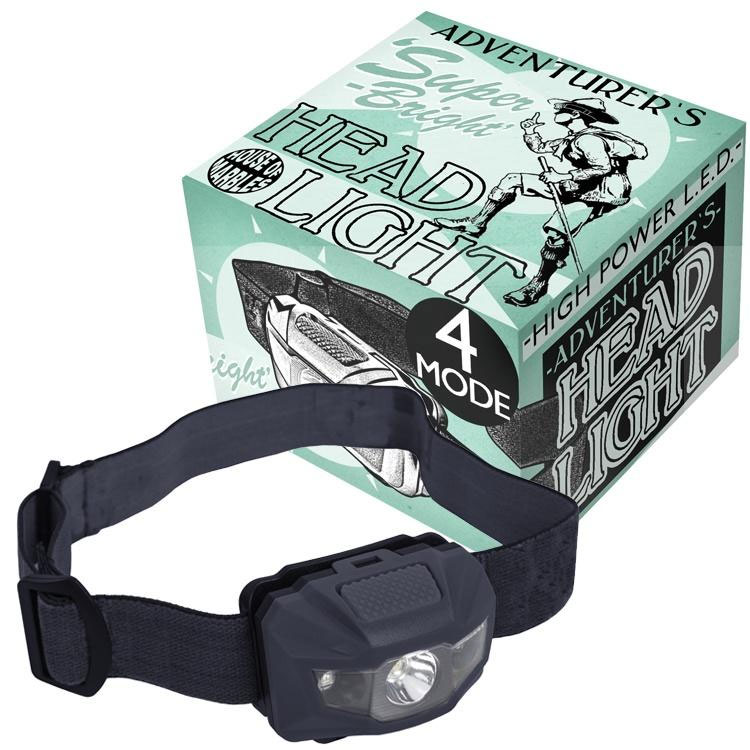
Hands-free illumination! This tough little headlight employs high power light-emitting diodes which provide extremely bright, stark and long-lasting, hands free illumination. Perfect for camping, fishing, boating and all other outdoor pursuits. This headlight is made of durable construction and is an essential backpack item for adventurers both seasoned and budding.
Vilnius North East and Its Environs
The north-eastern part of Vilnius and its environs in a series of contoured maps at 1:50,000 from the Vilnius based publishers Briedis covering Lithuania’s popular regions and highlighting each area’s recreational possibilities, tourist facilities, various places of interest, etc.Maps in this series are contoured and have colouring and/or graphics to indicate different types of terrain
Vilnius South West and Its Environs
The south-western part of Vilnius and its environs in a series of contoured maps at 1:50,000 from the Vilnius based publishers Briedis covering Lithuania’s popular regions and highlighting each area’s recreational possibilities, tourist facilities, various places of interest, etc.Maps in this series are contoured and have colouring and/or graphics to indicate different types of terrain
Vilnius South East and Its Environs
The south-eastern part of Vilnius and its environs in a series of contoured maps at 1:50,000 from the Vilnius based publishers Briedis covering Lithuania’s popular regions and highlighting each area’s recreational possibilities, tourist facilities, various places of interest, etc.Maps in this series are contoured and have colouring and/or graphics to indicate different types of terrain
Stol Slovenian Alpine Club 25K
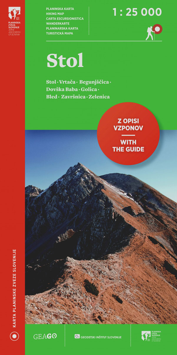
The mountain hiking map Stol – 1:25,000 covers a broader area than its predecessor Stol and Begunjลกcica. The central peak, Stol, is placed in the very centre, so that the map displays all trail-heads and routes leading to its top – even on the Austrian side. The map Stol – 1:25,000 displays the area between
Jalovec and Mangart Slovenian Alpine Club 25k Map
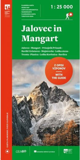
Jalovec and Mangart area of the Julian Alps at 1:25,000 in a series of contoured, GPS compatible recreational maps from Planinska zveza Slovenie – Slovenian Alpine Club, covering Slovenia’s popular hiking regions at 1:50,000 or 1:25,000. Maps in the Planinska zveza series titles have contours enhanced by shading and graphic relief in the mountainous areas.
Krnsko Pogorje Slovenian Alpine Club 25k Map
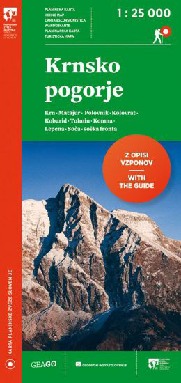
The mountain hiking map Krnsko pogorje – 1:25,000 is a new map by the Alpine Association of Slovenia, which offers an even more detailed presentation of the relevant area and is more clearly labelled than its predecessor. The map was collaboratively revised by the Geodetic Institute of Slovenia, the mapping company Geodetska druลพba and many
Notranjska s Sneลพnikom
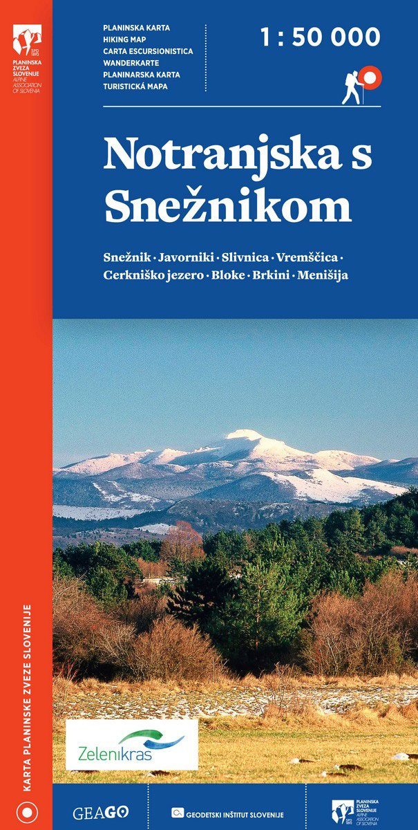
Sneznik area at 1:50,000 in a series of contoured, GPS compatible recreational maps from Planinska zveza Slovenie – Slovenian Alpine Club, covering Slovenia’s popular hiking regions at 1:50,000 or 1:25,000. Contours are at 20m, with a 2km UTM grid plus 1’ margin ticks. Maps at 1:50,000 in the Planinska zveza series titles have contours enhanced
Triglav National Park Kartografija WATERPROOF Hiking Map
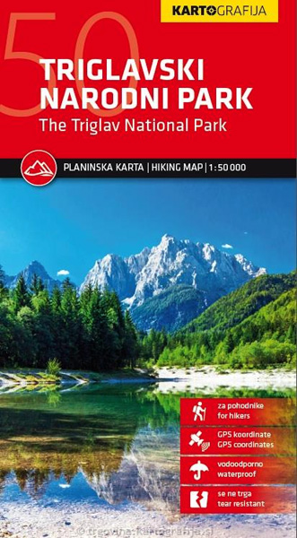
Triglav National Park at 1:50,000 on a contoured and GPS compatible walking and cycling map from Kartografija in Ljubljana, waterproof and tear-resistant version, with on the reverse descriptions of the area’s best sights. Coverage extends from Bovec in the west to Bled in the east, and from Kranjska Gora in the north to just short
Grintovci Slovenian Alpine Club 25K Map
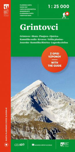
The Grintovec area of the Kamnik ‘“ Savinja Alps at 1:25,000 in a series of contoured, GPS compatible recreational maps from Planinska zveza Slovenie – Slovenian Alpine Club, covering Slovenia’s popular hiking regions at 1:50,000 or 1:25,000. Maps in the Planinska zveza series titles have contours enhanced by shading and graphic relief in the mountainous
Kamnik and Savinja Alps Kartografija WATERPROOF Hiking Map
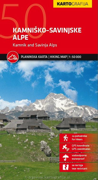
Slovenia’s Kamnik and Savinja Alps on a light, waterproof and tear-resistant, contoured and GPS compatible map at 1:50,000 from Kartografija, with on the reverse details of local mountain shelters with photos, QR codes and map extracts. Coverage includes the peak of Grintovec, and the overprint for hiking and cycling trails extends over the border to
Triglav National Park
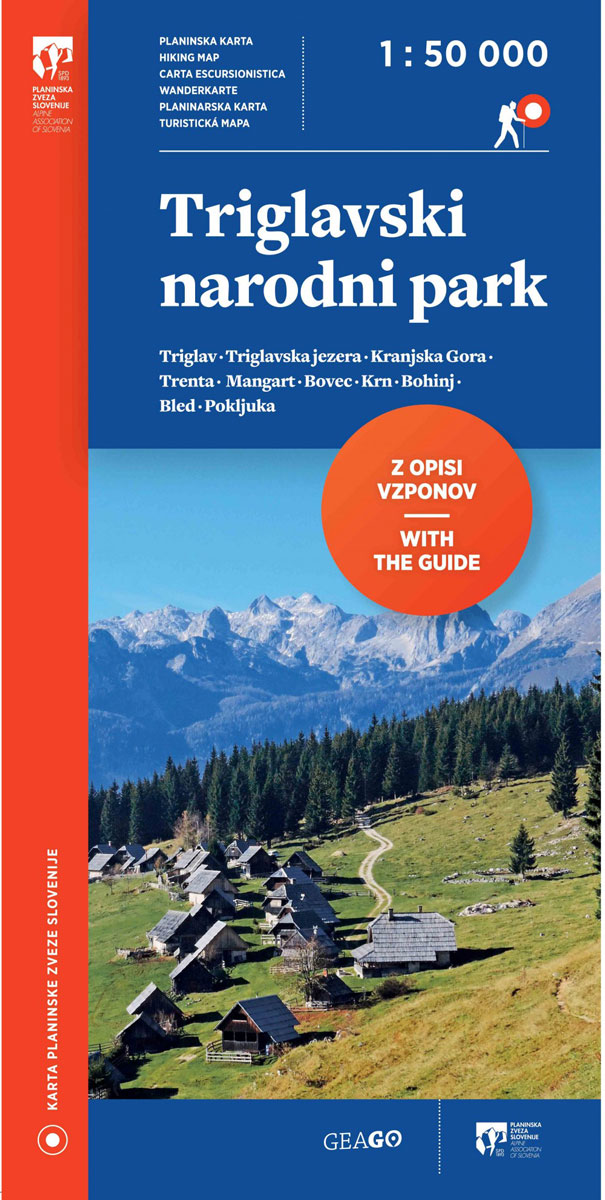
Triglav National Park at 1:50,000 on a contoured and GPS compatible recreational maps from Planinska zveza Slovenie – Slovenian Alpine Club, with on the reverse details of 42 alpine huts and QR codes for further information, plus lists of the areas 76 exceptional natural heritage sites and 29 cultural monuments.Maps at 1:50,000 in the Planinska
Karavanke Mountains – Kep to Kosuta Kartografija WATERPROOF Hiking Map
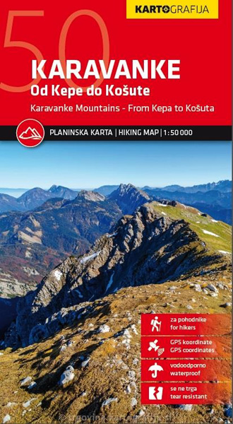
Karavanke Mountains between the peaks of Kepe and Koลกutenikov Turn at 1:50,000 on a waterproof and tear-resistant, contoured and GPS compatible walking and cycling map from Kartografija in Ljubljana, with on the reverse information about local mountain huts.Coverage, including the overprint for hiking trails, cycle routes and other tourist information, spans both sides of the
Ljubljana and Environs Slovenian Alpine Club 50K Map
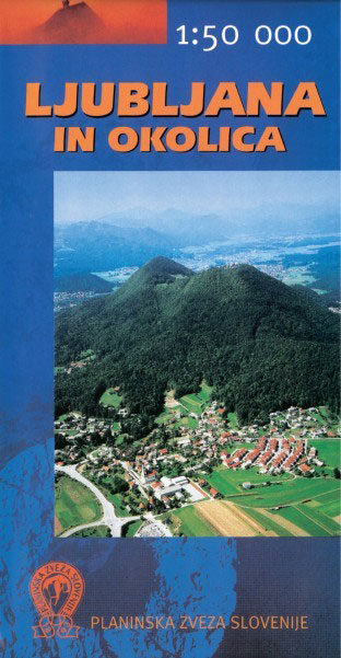
The environs of Ljubljana at 1:50,000 in a series of contoured, GPS compatible recreational maps from Planinska zveza Slovenie – Slovenian Alpine Club, covering Slovenia’s popular hiking regions at 1:50,000 or 1:25,000. Contours are at 20m, with a 2km UTM grid plus 1’ margin ticks. Maps at 1:50,000 in the Planinska zveza series titles have
Triglav Kartografija WATERPROOF Hiking Map
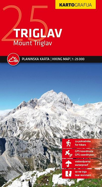
The central part of the Triglav National Park on a light, waterproof and tear-resistant, contoured and GPS compatible map at 1:25,000 from Kartografija, with on the reverse details of local mountain shelters with photos and QR codes. The map is centered on the peak of Triglav and coverage extends north to Kranjska Gora, south to
Posavsko Hribovje East: Boc – Bohor Slovenian Alpine Club 50K Map
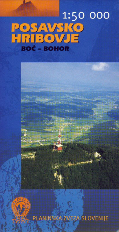
Eastern Posavsko Hribovje, the Boc ‘“ Bohor area at 1:50,000 in a series of contoured, GPS compatible recreational maps from Planinska zveza Slovenie – Slovenian Alpine Club, covering Slovenia’s popular hiking regions at 1:50,000 or 1:25,000. Contours are at 20m, with a 2km UTM grid plus 1’ margin ticks. On the reverse are details of
Julian Alps Kartografija WATERPROOF Hiking Map
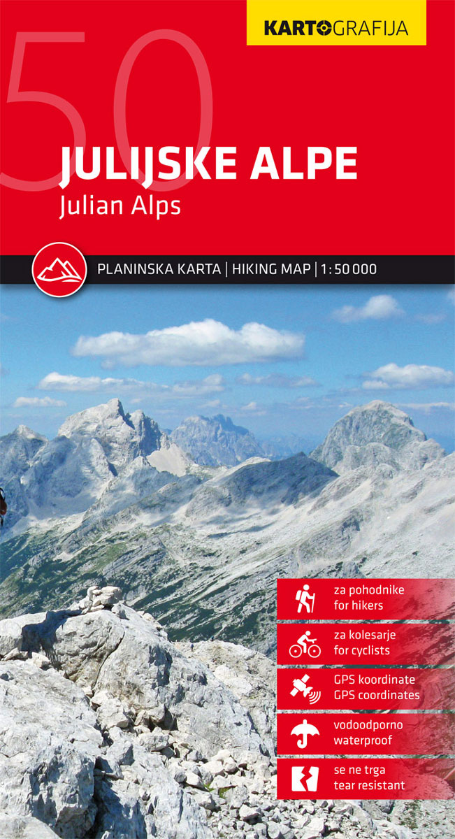
Julian Alps hiking map by Kartografija at a scale of 1: 50,000. The map includes GPS coordinates and is printed on waterproof paper. The reverse consists of a tourist guide with descriptions of tourist sites and mountain huts, with photographs. This map contains all information on mountain routes, accesses, attractions and mountain chalets.The map is
Kranjska Gora Kartografija WATERPROOF Hiking Map
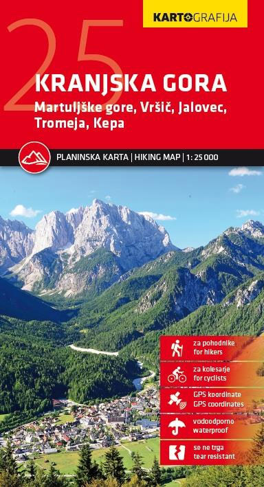
Kranjska Gora hiking map by Kartografija at a scale of 1: 25,000. The map includes GPS coordinates and is printed on waterproof paper. The reverse consists of a tourist guide with descriptions of tourist sites, mountain huts and a city plan Kranjska Gora, with photographs. This map contains all information on mountain routes, accesses, attractions