Category Archives: Maps
Kjalvegur
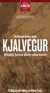
Kjalvegur area of Iceland at 1:100,000 in a series of hiking and recreational topographic maps from Sogur Utgafa, with 27 hiking and riding tracks highlighted and described in detail. The map presents detailed picture of the area’s topography, with contours at 20m intervals supplemented by spot heights and relief shading. The colouring indicates different types
Dudelange – Clemency
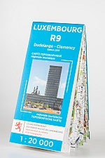
Dudelange – Clemency area of Luxembourg in the country’s detailed topographic survey at 1:20,000 from the Administration du Cadastre et de la Topographie. The maps in this series have contours at 5-metres intervals enhanced by additional hill shading. An overprint highlights long-distance footpaths, cycle tracks, and various places of interest, e.g. tourist information offices, campsites,
Schengen – Weiler-la-Tour
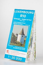
Schengen – Weiler-la-Tour area of Luxembourg in the country’s detailed topographic survey at 1:20,000 from the Administration du Cadastre et de la Topographie. The maps in this series have contours at 5-metres intervals enhanced by additional hill shading. An overprint highlights long-distance footpaths, cycle tracks, and various places of interest, e.g. tourist information offices, campsites,
Annapurna
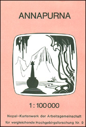
Annapurna region at 1:100,000 in a series of detailed topographic maps of selected trekking areas of Nepal originally prepared by E. Schneider and now edited by the German Scientific Association of Comparative High-Mountain Research (Arbeitsgemeinschaft fรผr vergleichende Hochgebirgsforschung). The map covers the whole of the Annapurna Circuit, extending from Pokhara to Muktinath and Jomosom. Contours
Larochette – Lorentzweiler

Larochette – Lorentzweiler area of Luxembourg in the country’s detailed topographic survey at 1:20,000 from the Administration du Cadastre et de la Topographie. The maps in this series have contours at 5-metres intervals enhanced by additional hill shading. An overprint highlights long-distance footpaths, cycle tracks, and various places of interest, e.g. tourist information offices, campsites,
Luxembourg City and the Surrounding Area
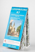
Luxembourg City and its environs in the country’s detailed topographic survey at 1:20,000 from the Administration du Cadastre et de la Topographie. The maps in this series have contours at 5-metres intervals enhanced by additional hill shading. An overprint highlights long-distance footpaths, cycle tracks, and various places of interest, e.g. tourist information offices, campsites, hostels,
Helambu – Langtang
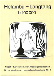
Helambu – Langtang region at 1:100,000 in a series of detailed topographic maps of selected trekking areas of Nepal originally prepared by E. Schneider and now edited by the German Scientific Association of Comparative High-Mountain Research (Arbeitsgemeinschaft fรผr vergleichende Hochgebirgsforschung). The map covers the the Langtang valley, Naya Kanga, Kangja La Pass, Gosainkund, and parts
Rolwaling Himal (Gaurisankar)
Rolwaling Himal (Gaurisankar) region at 1:50,000 in a series of detailed topographic maps of selected trekking areas of Nepal originally prepared by E. Schneider and now edited by the German Scientific Association of Comparative High-Mountain Research (Arbeitsgemeinschaft fรผr vergleichende Hochgebirgsforschung).Traditionally referred to as ‘the Schneider maps”, titles in this series cover Nepal’s most popular trekking
Luxembourg North

One of two topographic survey maps of Luxembourg at 1:50,000, with contours at 10-metres intervals and additional relief shading. An overprint highlights long-distance footpaths, including the GR5 (E-2), cycle routes, and various places of interest, including campsites. The map covers an area of approximately 53 x 43 km / 33 x 27 miles. Map ticks
Luxembourg South

One of two topographic survey maps of Luxembourg at 1:50,000, with contours at 10-metres intervals and additional relief shading. An overprint highlights long-distance footpaths, including the GR5 (E-2), cycle routes, and various places of interest, including campsites. The map covers an area of approximately 53 x 43 km / 33 x 27 miles. Map ticks
Fruit Socks – Strawberry

Pick your favourite fruit flavour, or wear the whole fruit bowl! Strawberry, watermelon, orange and banana.Our Fruit socks are perfect for foodies as well as your feet. Each flavour comes in it’s own fruity packaging tube.
Luxembourg
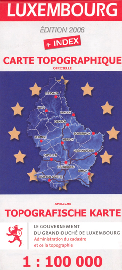
Indexed topographic map of the country with contours at 20-metre intervals. An overprint shows the GR5/E2 long-distance footpath, youth hostels and chateaux open to the public. The map also includes a detailed plan of the European Union institutions outside Luxembourg City. Margin ticks give latitude and longitude in steps of 10`. Map legend is in
Fruit Socks – Orange

Pick your favourite fruit flavour, or wear the whole fruit bowl! Strawberry, watermelon, orange and banana.Our Fruit socks are perfect for foodies as well as your feet. Each flavour comes in it’s own fruity packaging tube.
Clervaux – Huldange
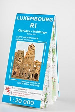
Clervaux ‘“ Huldange area of Luxembourg in the country’s detailed topographic survey at 1:20,000 from the Administration du Cadastre et de la Topographie. The maps in this series have contours at 5-metres intervals enhanced by additional hill shading. An overprint highlights long-distance footpaths, cycle tracks, and various places of interest, e.g. tourist information offices, campsites,
The Chartologist – Trees of Interest
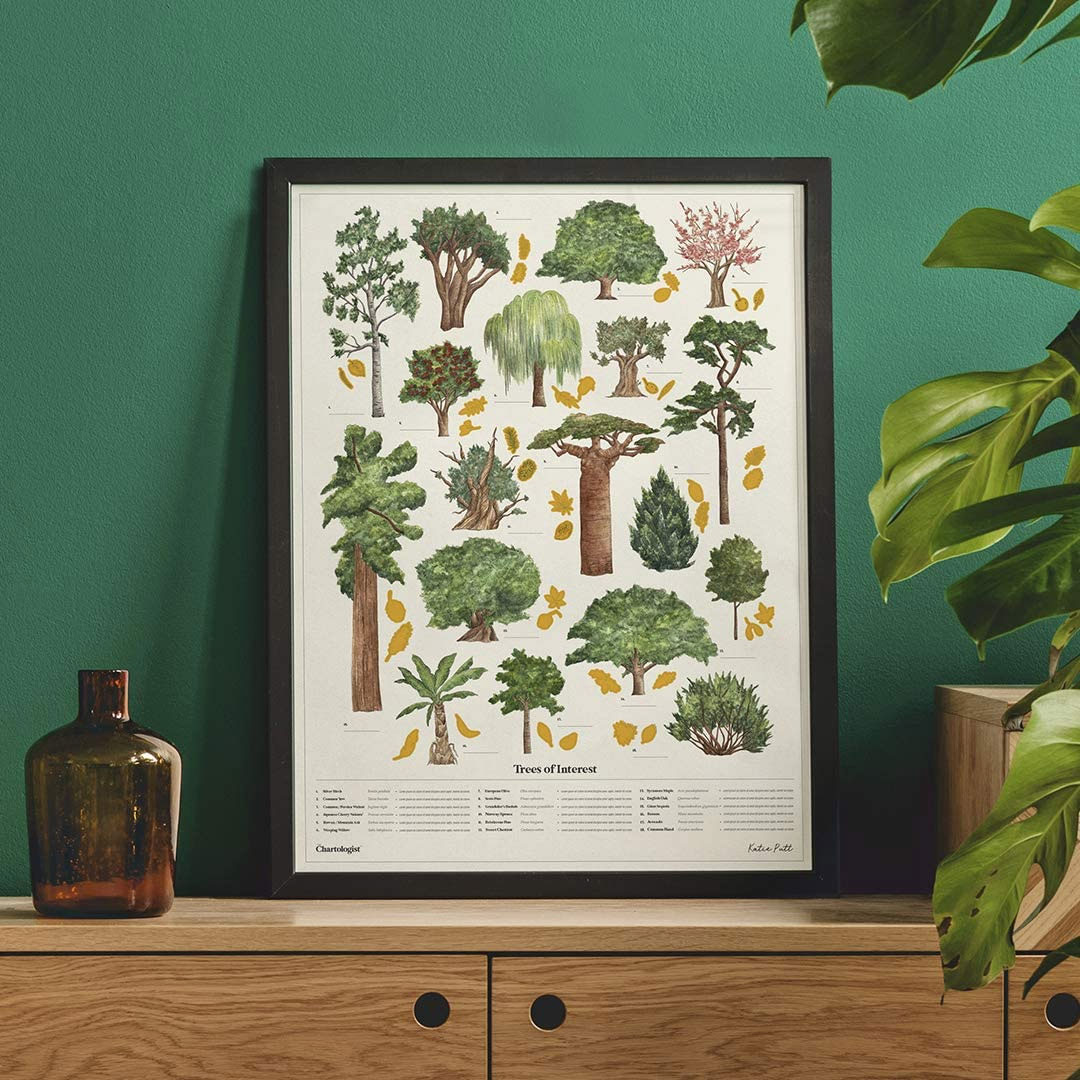
Every poster in The Chartologist range uses interactive elements. Discover more about each of these familiar green giants and scratch off the gold foil to record those you’ve climbed, grown or sat beneath. Plus, fill in where you’ve encountered each one.Printed on FSC approved paper. Proudly made in the UK.Featuring original illustrations by artist, illustrator
Boulaide – Wiltz
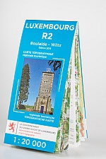
Boulaide – Wiltz area of Luxembourg in the country’s detailed topographic survey at 1:20,000 from the Administration du Cadastre et de la Topographie. The maps in this series have contours at 5-metres intervals enhanced by additional hill shading. An overprint highlights long-distance footpaths, cycle tracks, and various places of interest, e.g. tourist information offices, campsites,
The Chartologist – Birds of Interest
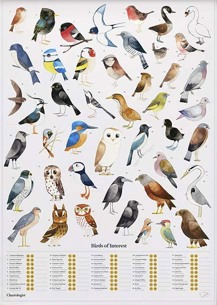
Every poster in The Chartologist range uses interactive elements. Each of 45 birds featured on this poster are listed at the bottom with gold foil icons. Scratch the foil to record which birds you’ve spotted or heard, and fill in where using the space beside it.Printed on FSC approved paper. Proudly made in the UK.Featuring
Diekirch – Putscheid
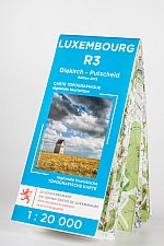
Diekirch – Putscheid area of Luxembourg in the country’s detailed topographic survey at 1:20,000 from the Administration du Cadastre et de la Topographie. The maps in this series have contours at 5-metres intervals enhanced by additional hill shading. An overprint highlights long-distance footpaths, cycle tracks, and various places of interest, e.g. tourist information offices, campsites,
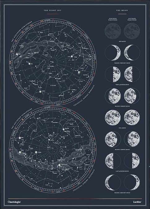
The Chartologist – The Night Sky
World Scratch Mapยฎ is a basic wall map of the world, covered in a scratch-off gold foil top layer, designed for you to scratch off places as and when you’ve visited them. As you travel make the world appear beneath your finger-tips. Countries are revealed in full-colour and with geographic detail such as capital and
World Map Placemat
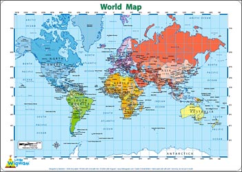
This is a fantastic colourful and resistant placemat by Little Wigwam, featuring a political world map. Kids will love it and have fun locating remote places or guessing capitals of the world. The Mercator projection map shows the continents in different bright colours, all countries and seas and oceans are named, as well as most