Category Archives: Maps
Kvamskogen – Bergsdalen Nordeca 2253
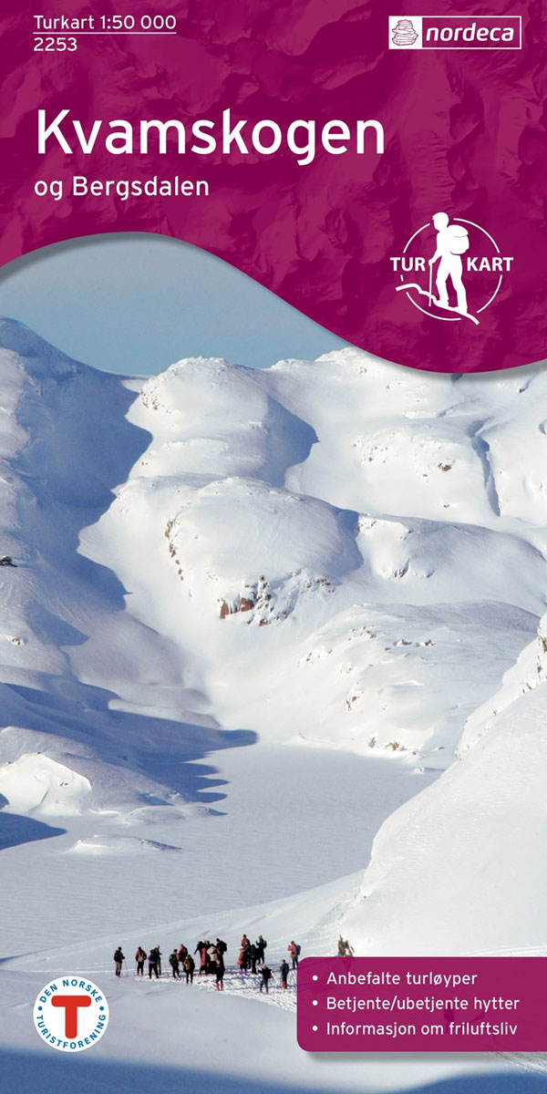
Kvamskogen – Bergsdalen area in Norway in a series of GPS compatible recreational maps at 1:50,000 with cartography from Norway’s topographic survey and additional tourist information. Contours lines are drawn at 20m intervals. The overprint varies from title to title, but includes local footpaths, in some cases distinguishing between easy and more difficult trails, as
Oslo รstmark Nordeca 2283

Oslo รstmark area in a series of GPS compatible recreational maps at 1:50,000 with cartography from Norway’s topographic survey and additional tourist information. Contours lines are drawn at 20m intervals. The overprint varies from title to title, but includes local footpaths, in some cases distinguishing between easy and more difficult trails, as well as mountain
Beitostรธlen Nordeca 2375
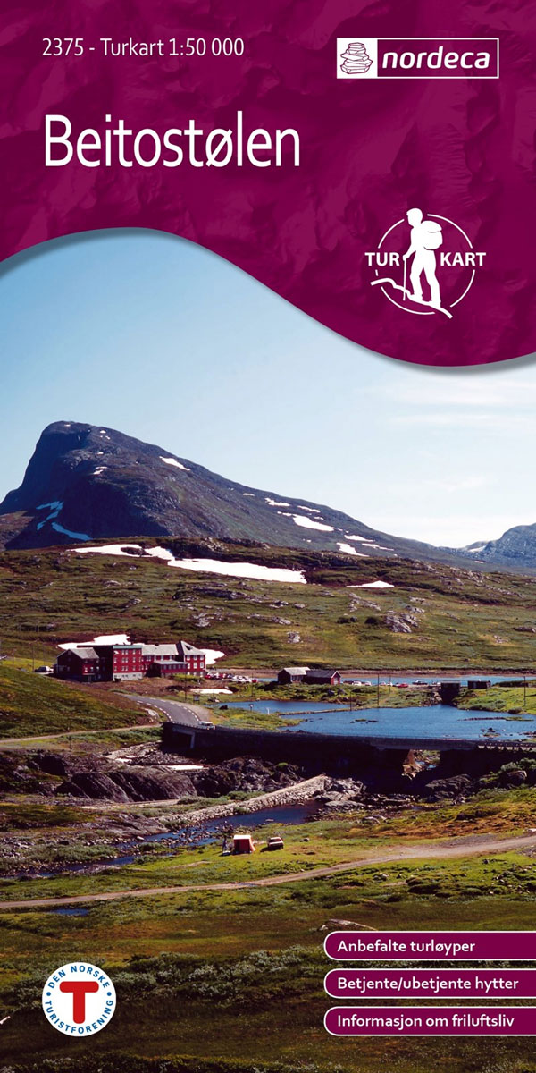
Beitostรธlen area in Norway in a series of GPS compatible recreational maps at 1:50,000 with cartography from Norway’s topographic survey and additional tourist information. Contours lines are drawn at 20m intervals. The overprint varies from title to title, but includes local footpaths, in some cases distinguishing between easy and more difficult trails, as well as
Reineskarvet Nordeca 2385

Reineskarvet area in Norway in a series of GPS compatible recreational maps at 1:50,000 with cartography from Norway’s topographic survey and additional tourist information. Contours lines are drawn at 20m intervals. The overprint varies from title to title, but includes local footpaths, in some cases distinguishing between easy and more difficult trails, as well as
Skrim – Vindfjell Nordeca 2403
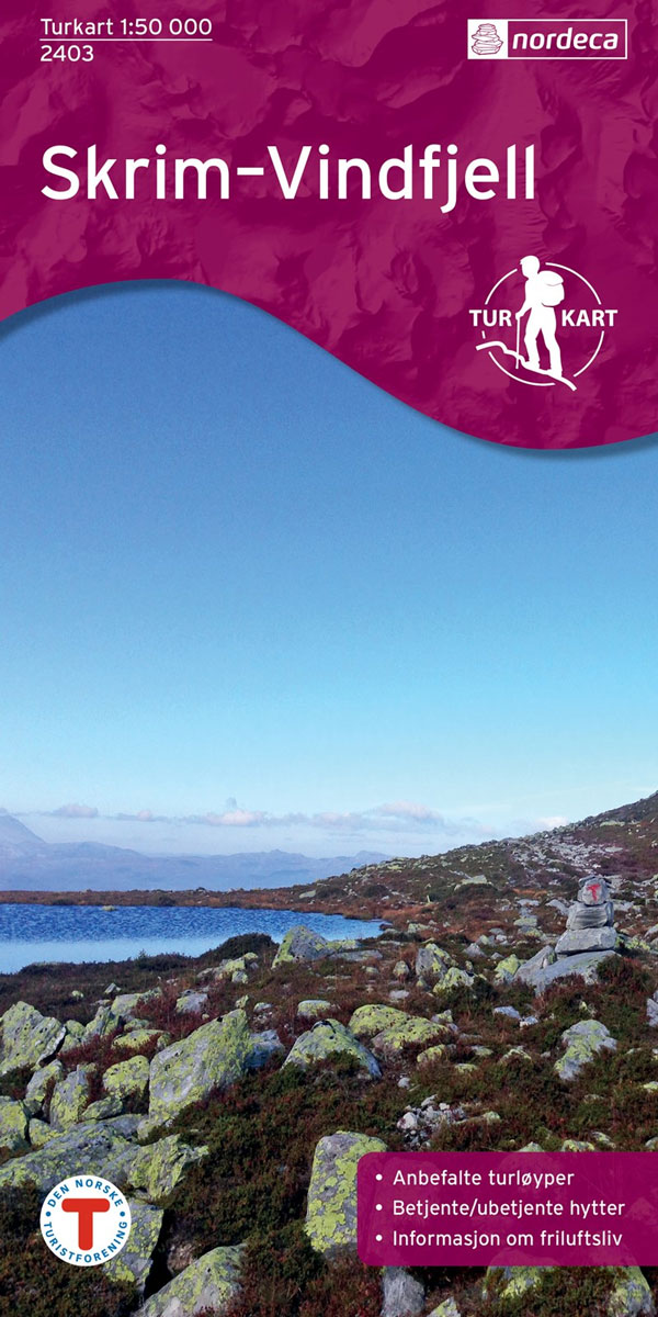
Skrim – Vindfjell area in Norway in a series of GPS compatible recreational maps at 1:50,000 with cartography from Norway’s topographic survey and additional tourist information. Contours lines are drawn at 20m intervals. The overprint varies from title to title, but includes local footpaths, in some cases distinguishing between easy and more difficult trails, as
Oslo Nordmark SUMMER edition Nordeca 2423
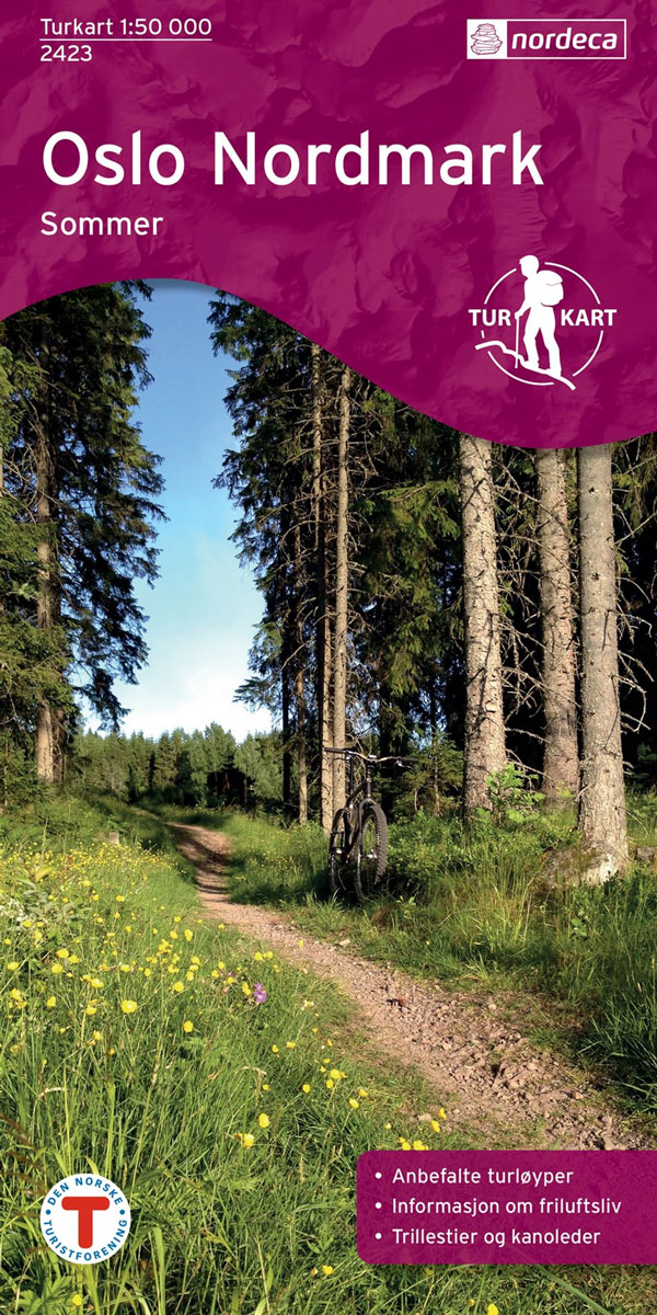
Oslo Nordmark area – SUMMER edition – in a series of GPS compatible recreational maps at 1:50,000 with cartography from Norway’s topographic survey and additional tourist information. Contours lines are drawn at 20m intervals. The overprint varies from title to title, but includes local footpaths, in some cases distinguishing between easy and more difficult trails,
Oslo Nordmark WINTER edition Nordeca 2425

Oslo Nordmark area – WINTER edition – in a series of GPS compatible recreational maps at 1:50,000 with cartography from Norway’s topographic survey and additional tourist information. Contours lines are drawn at 20m intervals. The overprint varies from title to title, but includes local footpaths, in some cases distinguishing between easy and more difficult trails,
Bergen – 7-Mountains Hike Nordeca 2429

Bergen area in a series of GPS compatible recreational maps at 1:25,000 with cartography based on the Norway’s topographic survey and additional tourist information. The map covers the area of the 7-Mountains (or the 4-Mountains) Hike, an annual event which has become a popular attraction with about 8000 hikers taking part in this one-day organised
Folgefonna – Hardangerfjorden Nordeca 2431

Folgefonna – Hardangerfjorden area in Norway in a series of GPS compatible recreational Turkart maps at 1:100,000 with cartography from Norway’s topographic survey and additional tourist information. Contours lines are drawn at 20m intervals. The overprint varies from title to title, but includes local footpaths, in some cases distinguishing between easy and more difficult trails,
Indre Sunnfjord Nordeca 2481

Indre Sunnfjord area in Norway in a series of GPS compatible recreational Turkart maps at 1:100,000 with cartography from Norway’s topographic survey and additional tourist information. Contours lines are drawn at 20m intervals. The overprint varies from title to title, but includes local footpaths, in some cases distinguishing between easy and more difficult trails, as
Huldreheimen Nordeca 2489

Huldreheimen area in Norway in a series of GPS compatible recreational Turkart maps at 1:100,000 with cartography from Norway’s topographic survey and additional tourist information. Contours lines are drawn at 20m intervals. The overprint varies from title to title, but includes local footpaths, in some cases distinguishing between easy and more difficult trails, as well
AZ5 Deluxe Alt-Azimuth Mount Head Only

We keep this item in our warehouse and it may take a month to reach you.Ideal No Fuss, Grab-and-Go Telescope Mount for Easy Visual Astronomy as well as Daytime Terrestrial Observations!! The AZ5 Deluxe Alt-Azimuth Mount Head can be fitted to any tripod via a standard 3/8″ screw connector. Constructed from cast aluminium and designed
Finnemarka Nordeca 2221
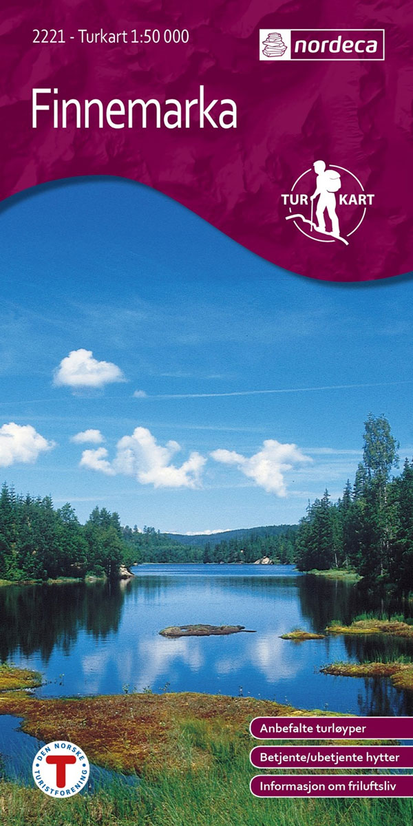
Finnemarka area in Norway in a series of GPS compatible recreational Turkart maps at 1:50,000 with cartography from Norway’s topographic survey and additional tourist information. Contours lines are drawn at 20m intervals. The overprint varies from title to title, but includes local footpaths, in some cases distinguishing between easy and more difficult trails, as well

Dovrefjell East Nordeca 3020

Topo 3000 Dovrefjell East by Nordeca AS is a detailed map covering an area of 64 x 47 km (over 3000 km2). Here you will find the hiking routes easily, over the mountains, through the forest and along the roads. Lodgings are clearly marked to facilitate your planning.
South Norway South: Oslo – Stavanger – Bergen – Hardangervidda
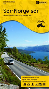
South Norway South ‘“ the southern part of the country including Oslo, Bergen, Stavanger and the Hardangervidda National Park, on an indexed road map at 1:500,000 from Nordeca showing locations of petrol and various types of vehicle charging stations, national tourist routes, tourist cabins and campsites, etc. Each title in this series has on the
South Norway North: Hamar – Jotunheimen NP – Rondane NP – Trondheim

South Norway North, between Hamar and Trondheim and covering several national parks including Jotunheimen and Rondane, on an indexed road map at 1:500,000 from Nordeca showing locations of petrol and various types of vehicle charging stations, national tourist routes, tourist cabins and campsites, etc. Each title in this series has on the reverse a list