Category Archives: Maps
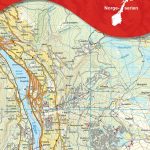
Peer Gynts Rike Nordeca 2563

Peer Gynts Rike: Kvitfjell – Gรฅlรฅ – Skeikampen area in Norway in a series of GPS compatible recreational maps at 1:50,000 with cartography from Norway’s topographic survey and additional tourist information. Contours lines are drawn at 20m intervals. The overprint varies from title to title, but includes local footpaths, in some cases distinguishing between easy
Geilo Nordeca 2515
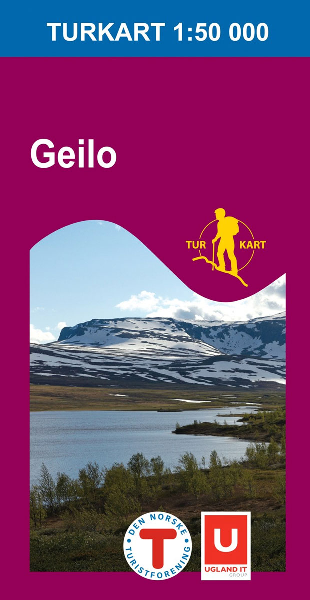
Geilo area of the Hardangervidda region in Norway in a series of GPS compatible recreational maps at 1:50,000 with cartography from Norway’s topographic survey and additional tourist information. Contours lines are drawn at 20m intervals. The overprint varies from title to title, but includes local footpaths, in some cases distinguishing between easy and more difficult
Aurlandsdalen Nordeca 2565

Aurlandsdalen area in Norway in a series of GPS compatible recreational maps at 1:50,000 with cartography from Norway’s topographic survey and additional tourist information. Contours lines are drawn at 20m intervals. The overprint varies from title to title, but includes local footpaths, in some cases distinguishing between easy and more difficult trails, as well as
Hallingskarvet Nordeca 2517

Hallingskarvet area of the Hardangervidda region in Norway in a series of GPS compatible recreational maps at 1:50,000 with cartography from Norway’s topographic survey and additional tourist information. Contours lines are drawn at 20m intervals. The overprint varies from title to title, but includes local footpaths, in some cases distinguishing between easy and more difficult
Jรธlster Nordeca 2568
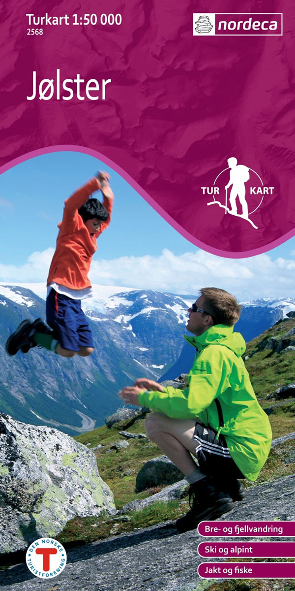
Jรธlster area in Norway in a series of GPS compatible recreational maps at 1:50,000 with cartography from Norway’s topographic survey and additional tourist information. Contours lines are drawn at 20m intervals. The overprint varies from title to title, but includes local footpaths, in some cases distinguishing between easy and more difficult trails, as well as
Rondane South Nordeca 2521

The southern part of the Rondane region of Norway in a series of GPS compatible recreational maps at 1:50,000 with cartography from Norway’s topographic survey and additional tourist information. Contours lines are drawn at 20m intervals. The overprint varies from title to title, but includes local footpaths, in some cases distinguishing between easy and more
Sigdal – Rollag Nordeca 2571

Sigdal – Rollag area in Norway in a series of GPS compatible recreational maps at 1:50,000 with cartography from Norway’s topographic survey and additional tourist information. Contours lines are drawn at 20m intervals. The overprint varies from title to title, but includes local footpaths, in some cases distinguishing between easy and more difficult trails, as
Rondane North Nordeca 2523
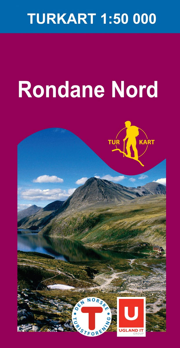
The northern part of the Rondane region of Norway in a series of GPS compatible recreational maps at 1:50,000 with cartography from Norway’s topographic survey and additional tourist information. Contours lines are drawn at 20m intervals. The overprint varies from title to title, but includes local footpaths, in some cases distinguishing between easy and more
Nesbyen Nordeca 2573
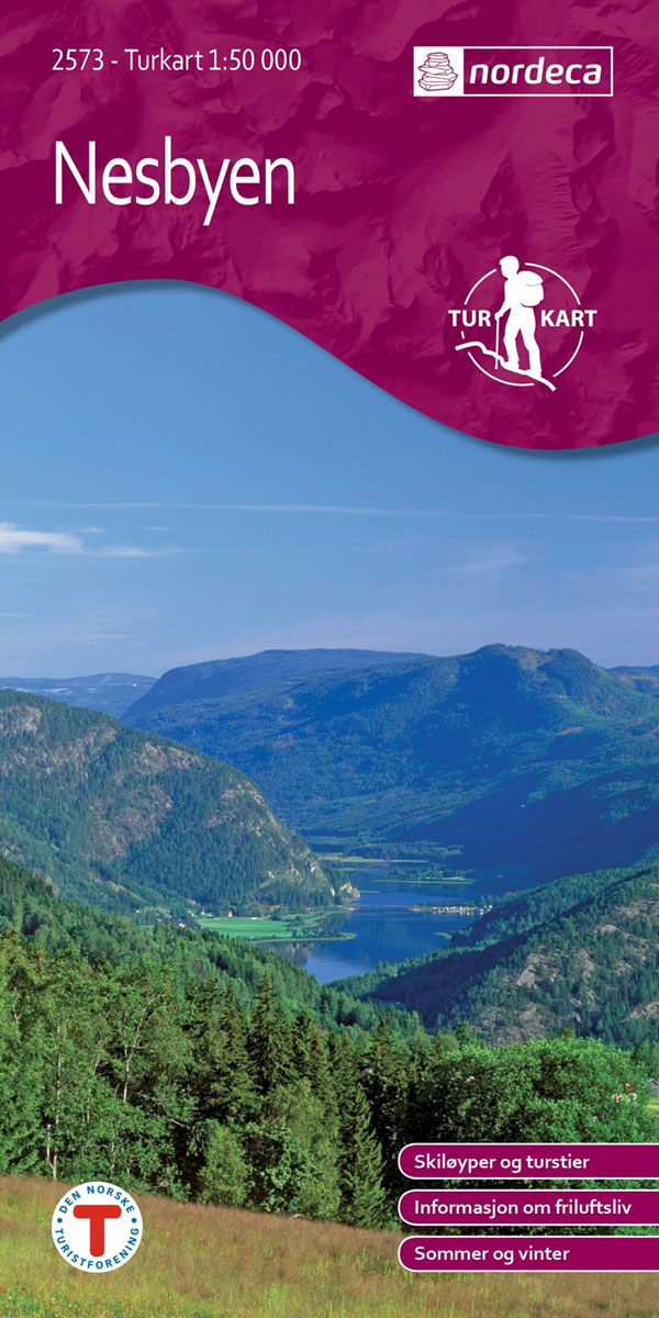
Nesbyen area in Norway in a series of GPS compatible recreational maps at 1:50,000 with cartography from Norway’s topographic survey and additional tourist information. Contours lines are drawn at 20m intervals. The overprint varies from title to title, but includes local footpaths, in some cases distinguishing between easy and more difficult trails, as well as
Norefjell – Eggedal Nordeca 2525

Norefjell ‘“ Eggedal area in Norway in a series of GPS compatible recreational maps at 1:50,000 with cartography from Norway’s topographic survey and additional tourist information. Contours lines are drawn at 20m intervals. The overprint varies from title to title, but includes local footpaths, in some cases distinguishing between easy and more difficult trails, as
ร…rdal Nordeca 2531

ร…rdal area in Norway in a series of GPS compatible recreational maps at 1:50,000 with cartography from Norway’s topographic survey and additional tourist information. Contours lines are drawn at 20m intervals. The overprint varies from title to title, but includes local footpaths, in some cases distinguishing between easy and more difficult trails, as well as
Oslo Nordmark WINTER edition Nordeca 2425

Oslo Nordmark area – WINTER edition – in a series of GPS compatible recreational maps at 1:50,000 with cartography from Norway’s topographic survey and additional tourist information. Contours lines are drawn at 20m intervals. The overprint varies from title to title, but includes local footpaths, in some cases distinguishing between easy and more difficult trails,
Bergen – 7-Mountains Hike Nordeca 2429

Bergen area in a series of GPS compatible recreational maps at 1:25,000 with cartography based on the Norway’s topographic survey and additional tourist information. The map covers the area of the 7-Mountains (or the 4-Mountains) Hike, an annual event which has become a popular attraction with about 8000 hikers taking part in this one-day organised
Folgefonna – Hardangerfjorden Nordeca 2431

Folgefonna – Hardangerfjorden area in Norway in a series of GPS compatible recreational Turkart maps at 1:100,000 with cartography from Norway’s topographic survey and additional tourist information. Contours lines are drawn at 20m intervals. The overprint varies from title to title, but includes local footpaths, in some cases distinguishing between easy and more difficult trails,
Indre Sunnfjord Nordeca 2481

Indre Sunnfjord area in Norway in a series of GPS compatible recreational Turkart maps at 1:100,000 with cartography from Norway’s topographic survey and additional tourist information. Contours lines are drawn at 20m intervals. The overprint varies from title to title, but includes local footpaths, in some cases distinguishing between easy and more difficult trails, as
Huldreheimen Nordeca 2489

Huldreheimen area in Norway in a series of GPS compatible recreational Turkart maps at 1:100,000 with cartography from Norway’s topographic survey and additional tourist information. Contours lines are drawn at 20m intervals. The overprint varies from title to title, but includes local footpaths, in some cases distinguishing between easy and more difficult trails, as well
รyer – Lillehammer Nordeca 2495
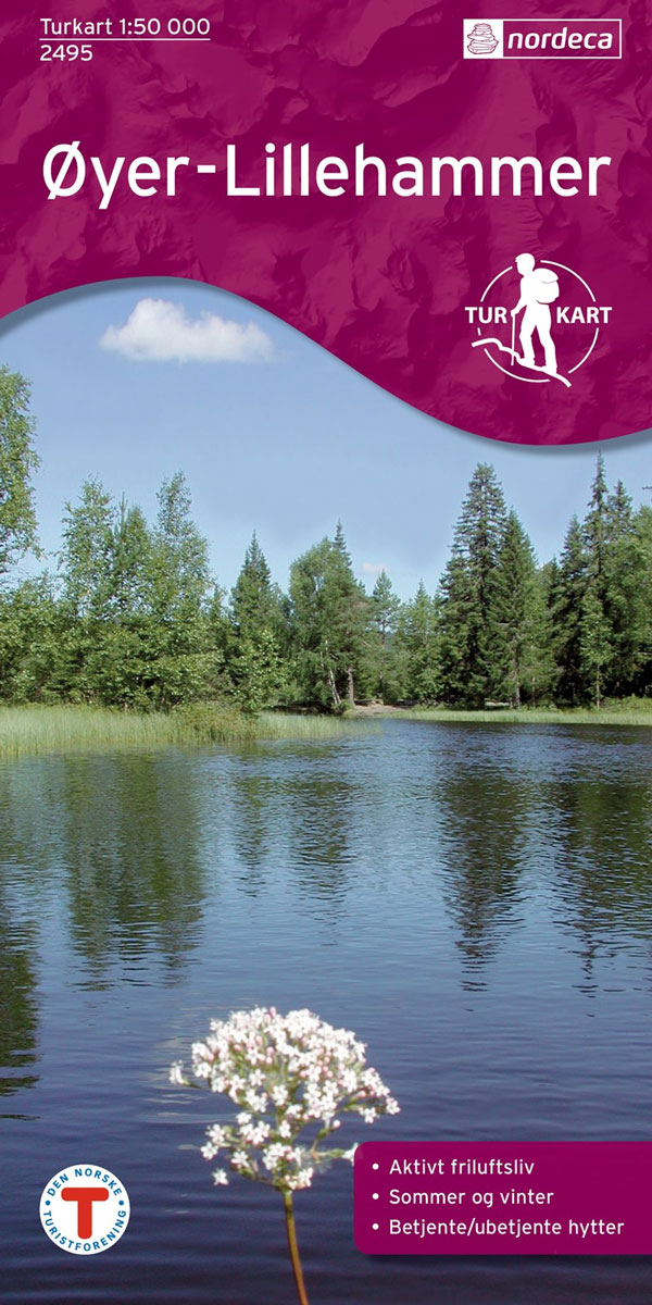
รyer ‘“ Lillehammer area in Norway in a series of GPS compatible recreational maps at 1:50,000 with cartography from Norway’s topographic survey and additional tourist information. Contours lines are drawn at 20m intervals. The overprint varies from title to title, but includes local footpaths, in some cases distinguishing between easy and more difficult trails, as
Romeriksรฅsene Nordeca 2225

Romeriksรฅsene area in Norway in a series of GPS compatible recreational maps at 1:50,000 with cartography from Norway’s topographic survey and additional tourist information. Contours lines are drawn at 20m intervals. The overprint varies from title to title, but includes local footpaths, in some cases distinguishing between easy and more difficult trails, as well as
Jotunheimen East Nordeca 2503
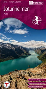
The eastern part of the Jotunheimen region in Norway in a series of GPS compatible recreational maps at 1:50,000 with cartography from Norway’s topographic survey and additional tourist information. Contours lines are drawn at 20m intervals. The overprint varies from title to title, but includes local footpaths, in some cases distinguishing between easy and more
Suldalsheiene Nordeca 2228

Suldalsheiene area in Norway in a series of GPS compatible recreational maps at 1:50,000 with cartography from Norway’s topographic survey and additional tourist information. Contours lines are drawn at 20m intervals. The overprint varies from title to title, but includes local footpaths, in some cases distinguishing between easy and more difficult trails, as well as