Category Archives: Maps
Eidfjord Nordeca 2677

Eidfjord area in Norway in a series of GPS compatible recreational maps at 1:50,000 with cartography from Norway’s topographic survey and additional tourist information. Contours lines are drawn at 20m intervals. The overprint varies from title to title, but includes local footpaths, in some cases distinguishing between easy and more difficult trails, as well as
Bรธrgefjell North Nordeca 2621
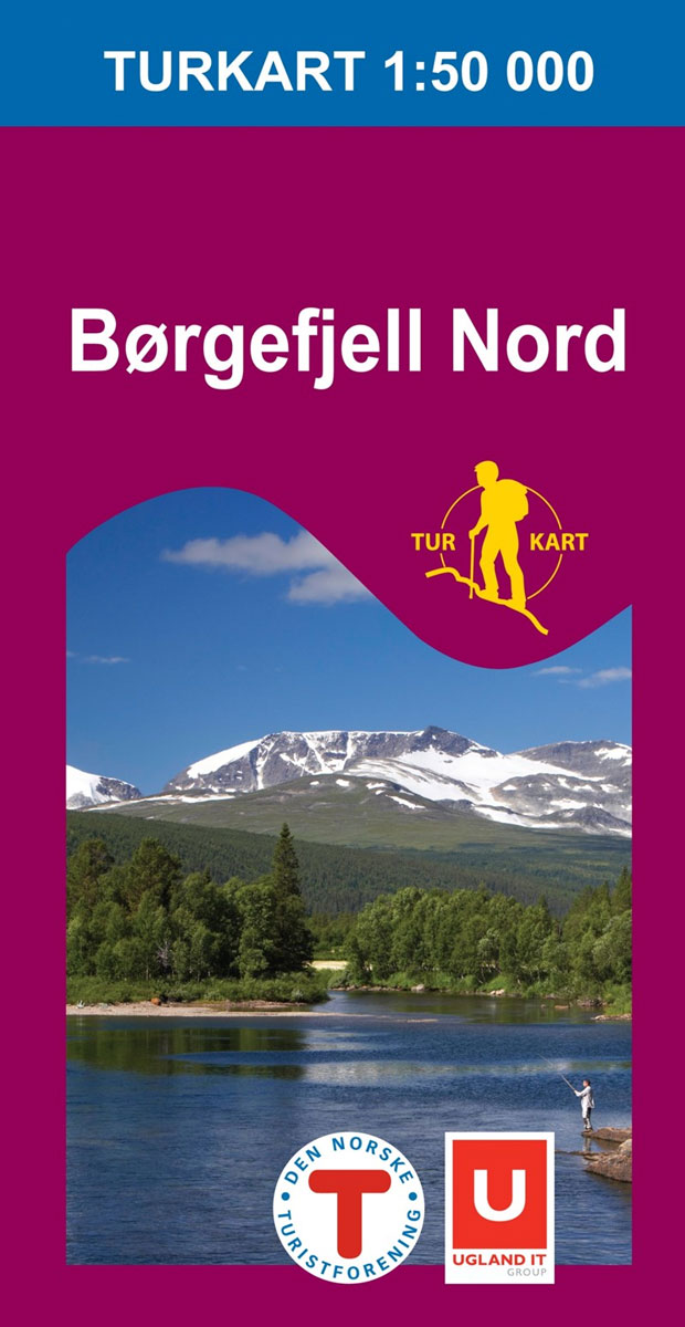
Bรธrgefjell North area in Norway in a series of GPS compatible recreational maps at 1:50,000 with cartography from Norway’s topographic survey and additional tourist information. Contours lines are drawn at 20m intervals. The overprint varies from title to title, but includes local footpaths, in some cases distinguishing between easy and more difficult trails, as well
Lysefjorden Nordeca 2681

Lysefjorden area in Norway in a series of GPS compatible recreational maps at 1:50,000 with cartography from Norway’s topographic survey and additional tourist information. Contours lines are drawn at 20m intervals. The overprint varies from title to title, but includes local footpaths, in some cases distinguishing between easy and more difficult trails, as well as
Kvayรธla – Seiland – Hammerfest Municipality Nordeca 2633
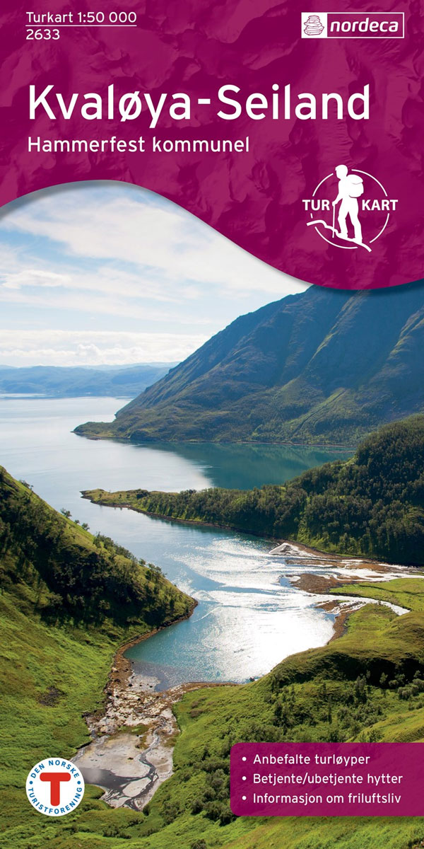
Kvayรธla – Seiland area in Norway in a series of GPS compatible recreational maps at 1:50,000 with cartography from Norway’s topographic survey and additional tourist information. Contours lines are drawn at 20m intervals. The overprint varies from title to title, but includes local footpaths, in some cases distinguishing between easy and more difficult trails, as
Hammerfest Hiking Set: Kvasund, Hasvik & Alta Communes
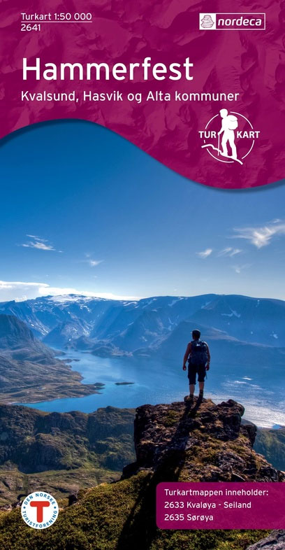
Hammerfest Hiking Set covering the Kvasund, Hasvik and Alta Communes, with two Turkart maps at 1:50,000: Kvayรธla- Seiland and Sรธrรธya. Maps in the Turkart series have cartography based on the Norwegian topographic survey and are overprinted with hiking routes and other tourist information. The base map is derived from the standard 1:50,000 topographic survey series.
Besseggen Nordeca 2649
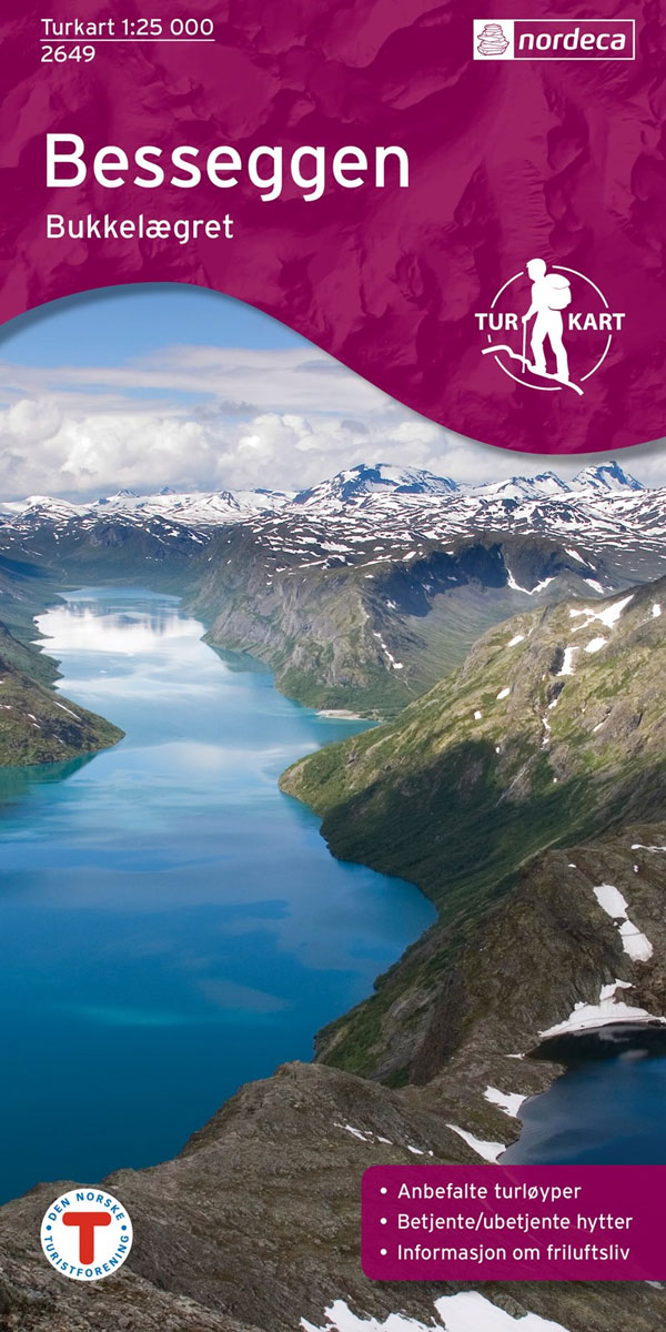
Besseggen area in Norway in a series of GPS compatible recreational maps at 1:25,000 with cartography based on the country’s topographic survey and additional tourist information. The base map is an enlargement of the standard 1:50,000 topographic survey series. Contours lines are drawn at 20m intervals. The overprint varies from title to title, but includes
Galdhopiggen Nordeca 2655
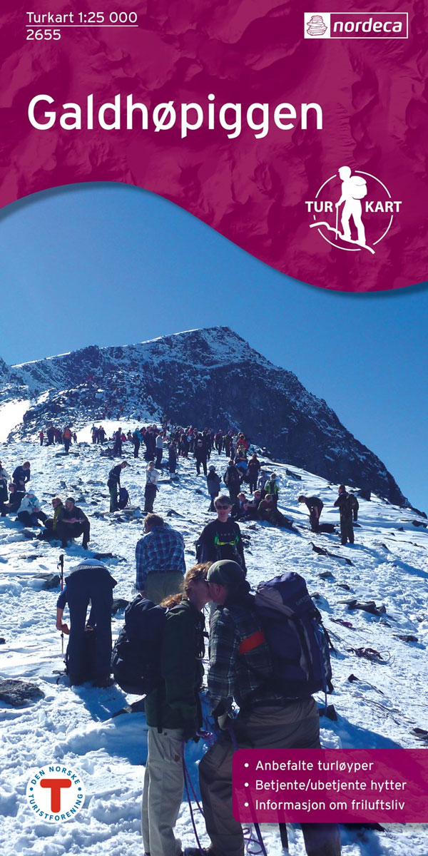
Galdhopiggen area in Norway in a series of GPS compatible recreational maps at 1:25,000 with cartography based on the country’s topographic survey and additional tourist information. The base map is an enlargement of the standard 1:50,000 topographic survey series. Contours lines are drawn at 20m intervals. The overprint varies from title to title, but includes
Gaustatoppen Nordeca 2657

Gaustatoppen area in Norway in a series of GPS compatible recreational maps at 1:25,000 with cartography based on the country’s topographic survey and additional tourist information. The base map is an enlargement of the standard 1:50,000 topographic survey series. Contours lines are drawn at 20m intervals. The overprint varies from title to title, but includes
Hardangervidda West Nordeca 2659

The Odda ‘“ Litlos ‘“ Hรฅrteigen – Kinsarvik area in the western part of the Hardangervidda region of Norway in a series of GPS compatible recreational maps at 1:50,000 with cartography from Norway’s topographic survey and additional tourist information. Contours lines are drawn at 20m intervals. The overprint varies from title to title, but includes
Skarvheimen Nordeca 2661

Skarvheimen area in Norway in a series of GPS compatible recreational maps at 1:50,000 with cartography from Norway’s topographic survey and additional tourist information. Contours lines are drawn at 20m intervals. The overprint varies from title to title, but includes local footpaths, in some cases distinguishing between easy and more difficult trails, as well as
Folgefonna National Park Nordeca 2663
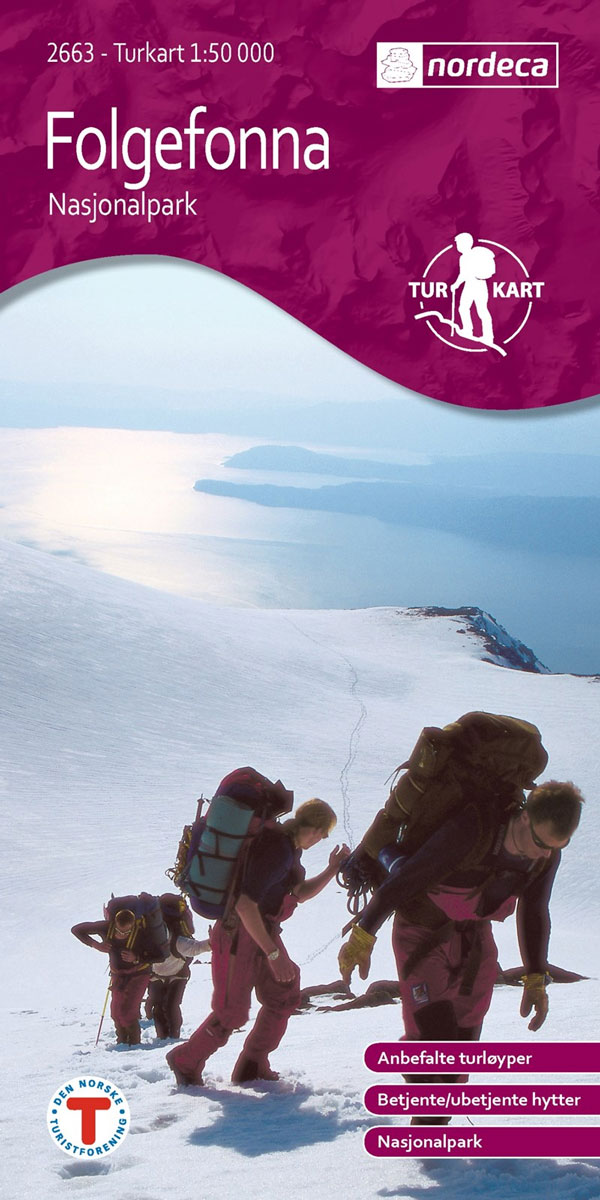
Folgefonna National Park in Norway in a series of GPS compatible recreational maps at 1:50,000 with cartography from Norway’s topographic survey and additional tourist information. Contours lines are drawn at 20m intervals. The overprint varies from title to title, but includes local footpaths, in some cases distinguishing between easy and more difficult trails, as well
Geilo Nordeca 2515
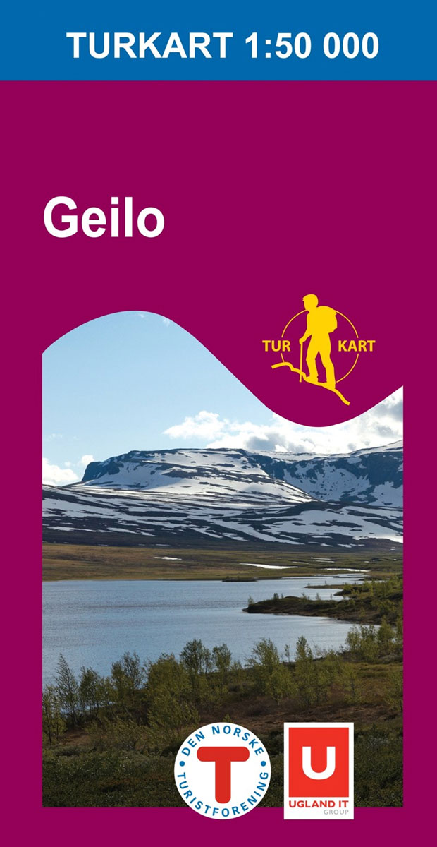
Geilo area of the Hardangervidda region in Norway in a series of GPS compatible recreational maps at 1:50,000 with cartography from Norway’s topographic survey and additional tourist information. Contours lines are drawn at 20m intervals. The overprint varies from title to title, but includes local footpaths, in some cases distinguishing between easy and more difficult
Aurlandsdalen Nordeca 2565

Aurlandsdalen area in Norway in a series of GPS compatible recreational maps at 1:50,000 with cartography from Norway’s topographic survey and additional tourist information. Contours lines are drawn at 20m intervals. The overprint varies from title to title, but includes local footpaths, in some cases distinguishing between easy and more difficult trails, as well as
Hallingskarvet Nordeca 2517

Hallingskarvet area of the Hardangervidda region in Norway in a series of GPS compatible recreational maps at 1:50,000 with cartography from Norway’s topographic survey and additional tourist information. Contours lines are drawn at 20m intervals. The overprint varies from title to title, but includes local footpaths, in some cases distinguishing between easy and more difficult
Jรธlster Nordeca 2568
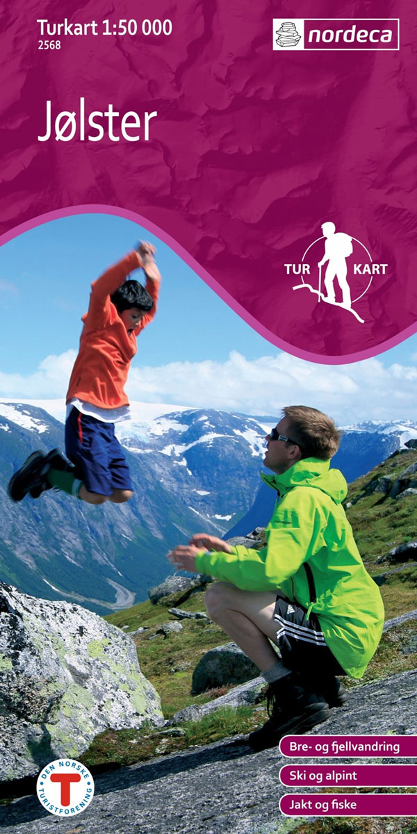
Jรธlster area in Norway in a series of GPS compatible recreational maps at 1:50,000 with cartography from Norway’s topographic survey and additional tourist information. Contours lines are drawn at 20m intervals. The overprint varies from title to title, but includes local footpaths, in some cases distinguishing between easy and more difficult trails, as well as
Rondane South Nordeca 2521

The southern part of the Rondane region of Norway in a series of GPS compatible recreational maps at 1:50,000 with cartography from Norway’s topographic survey and additional tourist information. Contours lines are drawn at 20m intervals. The overprint varies from title to title, but includes local footpaths, in some cases distinguishing between easy and more
Sigdal – Rollag Nordeca 2571

Sigdal – Rollag area in Norway in a series of GPS compatible recreational maps at 1:50,000 with cartography from Norway’s topographic survey and additional tourist information. Contours lines are drawn at 20m intervals. The overprint varies from title to title, but includes local footpaths, in some cases distinguishing between easy and more difficult trails, as
Rondane North Nordeca 2523
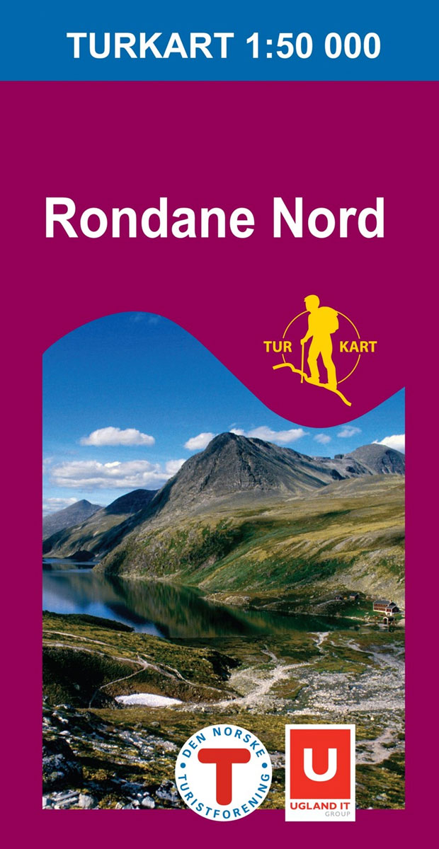
The northern part of the Rondane region of Norway in a series of GPS compatible recreational maps at 1:50,000 with cartography from Norway’s topographic survey and additional tourist information. Contours lines are drawn at 20m intervals. The overprint varies from title to title, but includes local footpaths, in some cases distinguishing between easy and more
Nesbyen Nordeca 2573
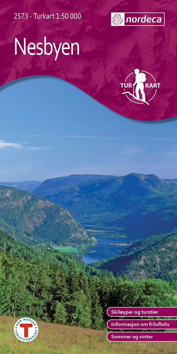
Nesbyen area in Norway in a series of GPS compatible recreational maps at 1:50,000 with cartography from Norway’s topographic survey and additional tourist information. Contours lines are drawn at 20m intervals. The overprint varies from title to title, but includes local footpaths, in some cases distinguishing between easy and more difficult trails, as well as
Norefjell – Eggedal Nordeca 2525

Norefjell ‘“ Eggedal area in Norway in a series of GPS compatible recreational maps at 1:50,000 with cartography from Norway’s topographic survey and additional tourist information. Contours lines are drawn at 20m intervals. The overprint varies from title to title, but includes local footpaths, in some cases distinguishing between easy and more difficult trails, as