Category Archives: Maps
Hovden North Nordeca 2684
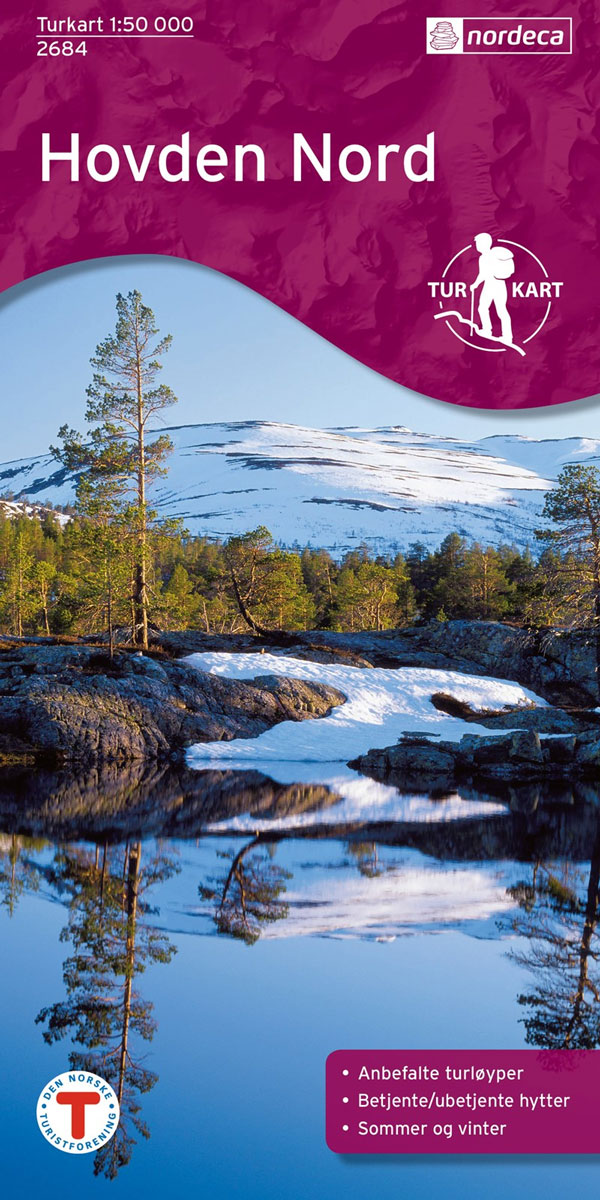
Hovden North area in Norway in a series of GPS compatible recreational maps at 1:50,000 with cartography from Norway’s topographic survey and additional tourist information. Contours lines are drawn at 20m intervals. The overprint varies from title to title, but includes local footpaths, in some cases distinguishing between easy and more difficult trails, as well
Rallar Road – Haugastรธl – Finse – Myrdal – Flรฅm Nordeca 2744
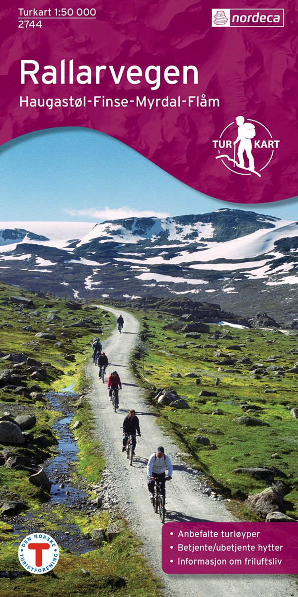
Rallarvegen: Haugastรธl – Finse – Myrdal – Flรฅm area of the Hardangervidda region in a series of GPS compatible recreational maps at 1:50,000 with cartography from Norway’s topographic survey and additional tourist information. Contours lines are drawn at 20m intervals. The overprint varies from title to title, but includes local footpaths, in some cases distinguishing
Hemesdal North Nordeca 2687
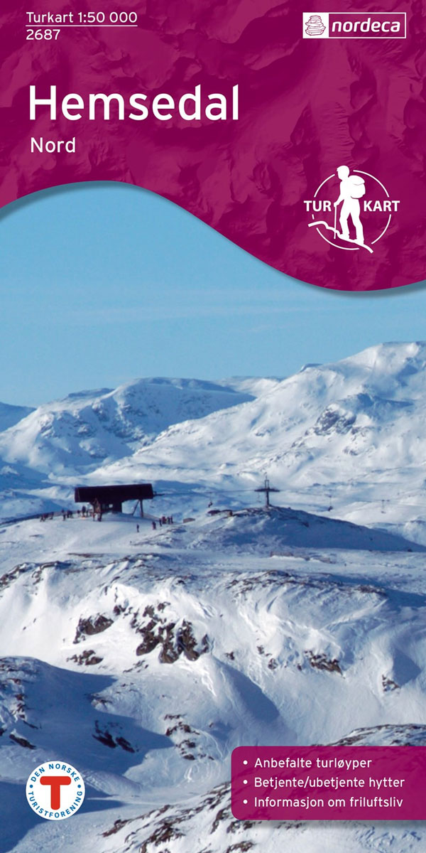
Hemesdal North area in Norway in a series of GPS compatible recreational maps at 1:50,000 with cartography from Norway’s topographic survey and additional tourist information. Contours lines are drawn at 20m intervals. The overprint varies from title to title, but includes local footpaths, in some cases distinguishing between easy and more difficult trails, as well
Lofoten West Nordeca 2745
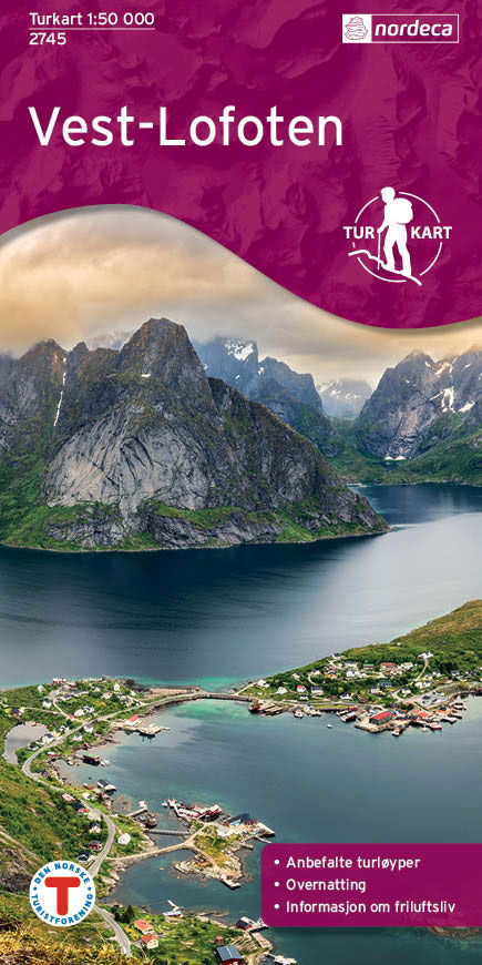
The islands of Flakstadรธya, Moskenesรธya, Vรฆrรธy and Rรธslandet in the western part of the Lofoten Islands in a series of GPS compatible recreational maps at 1:50,000 with cartography from Norway’s topographic survey and additional tourist information. Contours lines are drawn at 20m intervals. The overprint varies from title to title, but includes local footpaths, in
Sunnmรธrsalpane East Nordeca 2690
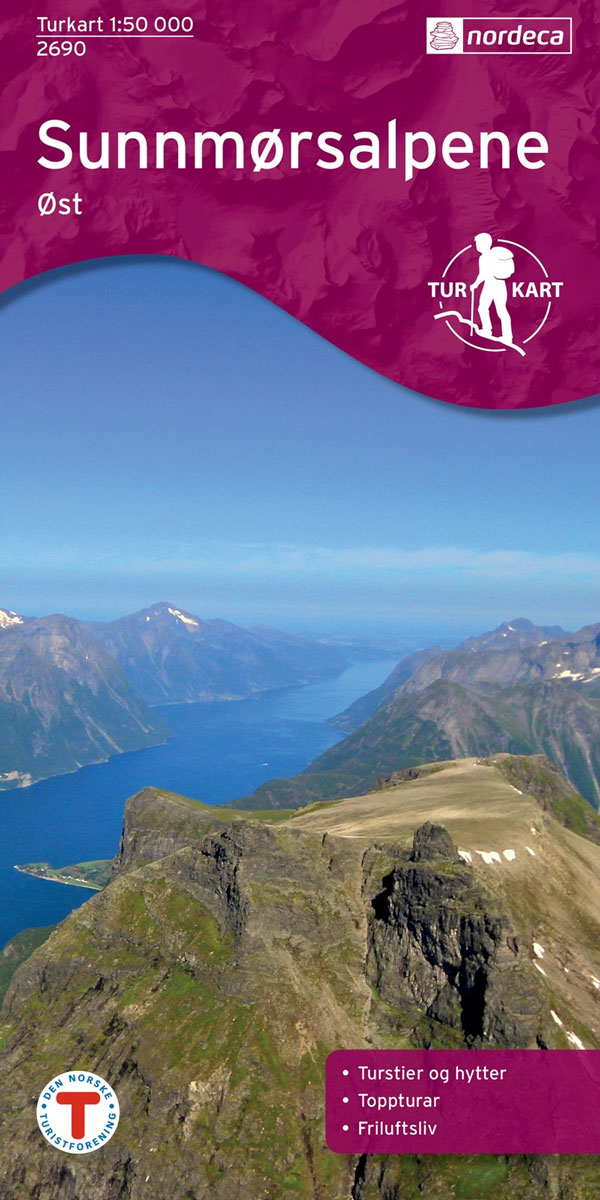
Sunnmรธrsalpane East area in Norway in a series of GPS compatible recreational maps at 1:50,000 with cartography from Norway’s topographic survey and additional tourist information. Contours lines are drawn at 20m intervals. The overprint varies from title to title, but includes local footpaths, in some cases distinguishing between easy and more difficult trails, as well
Rendalen Nordeca 2753

Rendalen area in Norway in a series of GPS compatible recreational Turkart maps at 1:100,000 with cartography from Norway’s topographic survey and additional tourist information. Contours lines are drawn at 20m intervals. The overprint varies from title to title, but includes local footpaths, in some cases distinguishing between easy and more difficult trails, as well
Sunnmรธrsalpane West Nordeca 2691

Sunnmรธrsalpane West area in Norway in a series of GPS compatible recreational maps at 1:50,000 with cartography from Norway’s topographic survey and additional tourist information. Contours lines are drawn at 20m intervals. The overprint varies from title to title, but includes local footpaths, in some cases distinguishing between easy and more difficult trails, as well
Romsdalseggen og Trolltindene Nordeca 2756
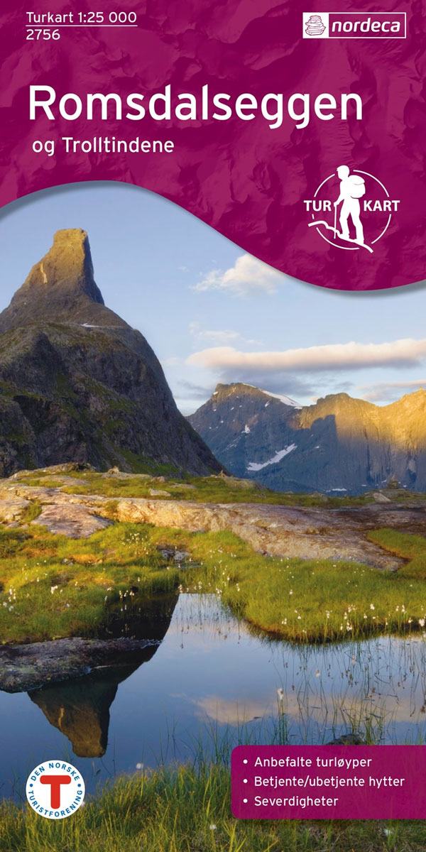
Romsdalseggen and Trolltindene area in Norway in a series of GPS compatible recreational maps at 1:25,000 with cartography based on the country’s topographic survey and additional tourist information. The base map is an enlargement of the standard 1:50,000 topographic survey series. Contours lines are drawn at 20m intervals. The overprint varies from title to title,
Odalen North Nordeca 2694

Odalen North area in Norway in a series of GPS compatible recreational maps at 1:50,000 with cartography from Norway’s topographic survey and additional tourist information. Contours lines are drawn at 20m intervals. The overprint varies from title to title, but includes local footpaths, in some cases distinguishing between easy and more difficult trails, as well
Skarverennet Nordeca 2703

Skarverennet area in Norway in a series of GPS compatible recreational maps at 1:50,000 with cartography from Norway’s topographic survey and additional tourist information. Contours lines are drawn at 20m intervals. The overprint varies from title to title, but includes local footpaths, in some cases distinguishing between easy and more difficult trails, as well as
Dovrefjell East – Knutsรธ Nordeca 2710

Dovrefjell East: Knutsรธ area in Norway in a series of GPS compatible recreational Turkart maps at 1:100,000 with cartography from Norway’s topographic survey and additional tourist information. Contours lines are drawn at 20m intervals. The overprint varies from title to title, but includes local footpaths, in some cases distinguishing between easy and more difficult trails,
Folgefonna National Park Nordeca 2663
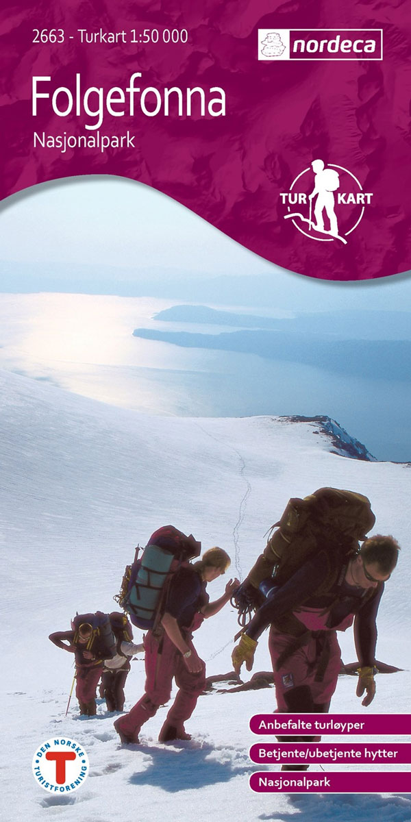
Folgefonna National Park in Norway in a series of GPS compatible recreational maps at 1:50,000 with cartography from Norway’s topographic survey and additional tourist information. Contours lines are drawn at 20m intervals. The overprint varies from title to title, but includes local footpaths, in some cases distinguishing between easy and more difficult trails, as well
Trondheim Nordeca 2665

Trondheim area in Norway in a series of GPS compatible recreational maps at 1:50,000 with cartography from Norway’s topographic survey and additional tourist information. Contours lines are drawn at 20m intervals. The overprint varies from title to title, but includes local footpaths, in some cases distinguishing between easy and more difficult trails, as well as
Indre Etnefjell Nordeca 2669
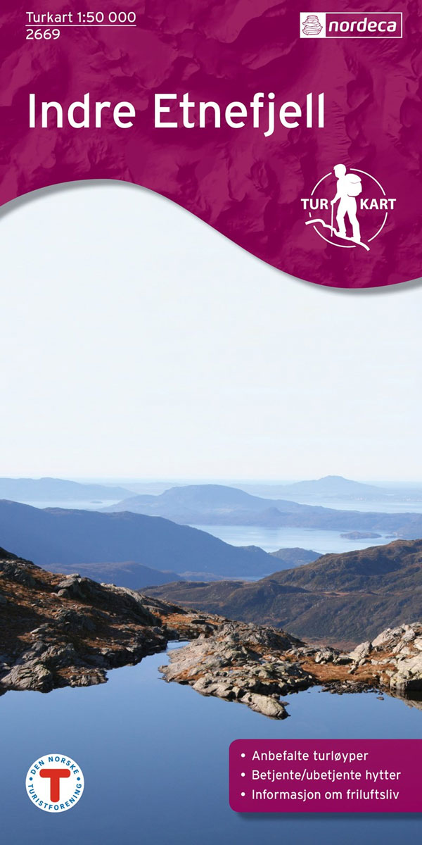
Indre Etnefjell area in Norway in a series of GPS compatible recreational maps at 1:50,000 with cartography from Norway’s topographic survey and additional tourist information. Contours lines are drawn at 20m intervals. The overprint varies from title to title, but includes local footpaths, in some cases distinguishing between easy and more difficult trails, as well
Vagan Nordeca 2671

Vรฅgan (Austvรฅgรธya) in the Lofoten Islands in a series of GPS compatible recreational maps at 1:50,000 with cartography from Norway’s topographic survey and additional tourist information. Contours lines are drawn at 20m intervals. The overprint varies from title to title, but includes local footpaths, in some cases distinguishing between easy and more difficult trails, as
Vestvรฅgรธy Nordeca 2673
Vesvรฅgรธya island in the Lofoten Islands in a series of GPS compatible recreational maps at 1:50,000 with cartography from Norway’s topographic survey and additional tourist information. Contours lines are drawn at 20m intervals. The overprint varies from title to title, but includes local footpaths, in some cases distinguishing between easy and more difficult trails, as
Bardu Nordeca 2599

This collection of national walking maps covers the mostpopular walking and hiking areas of Norway. The maps are Adapted for each specific area, and Contain hiking trails, cabins and local touring information. The maps are available in the following scales 1:25 000, 1:50 000, 1: 100 000.
Finnskogen Central Nordeca 2675
Finnskogen Central area in Norway in a series of GPS compatible recreational maps at 1:50,000 with cartography from Norway’s topographic survey and additional tourist information. Contours lines are drawn at 20m intervals. The overprint varies from title to title, but includes local footpaths, in some cases distinguishing between easy and more difficult trails, as well
Lygna Nordeca 2600

Lygna area in Norway in a series of GPS compatible recreational maps at 1:50,000 with cartography from Norway’s topographic survey and additional tourist information. Contours lines are drawn at 20m intervals. The overprint varies from title to title, but includes local footpaths, in some cases distinguishing between easy and more difficult trails, as well as
Finnskogen South Nordeca 2676

Finnskogen South area in Norway in a series of GPS compatible recreational maps at 1:50,000 with cartography from Norway’s topographic survey and additional tourist information. Contours lines are drawn at 20m intervals. The overprint varies from title to title, but includes local footpaths, in some cases distinguishing between easy and more difficult trails, as well