Category Archives: Maps
Breheimen Nordeca 3011
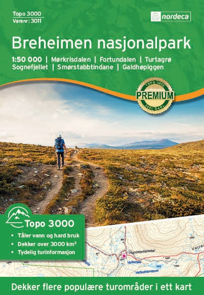
Topo 3000 Breheimen by Nordeca AS is a detailed map covering an area of 64 x 47 km (over 3000 km2). Here you will find the hiking routes easily, over the mountains, through the forest and along the roads. Lodgings are clearly marked to facilitate your planning.
Romsdalsfjella South Nordeca 2822
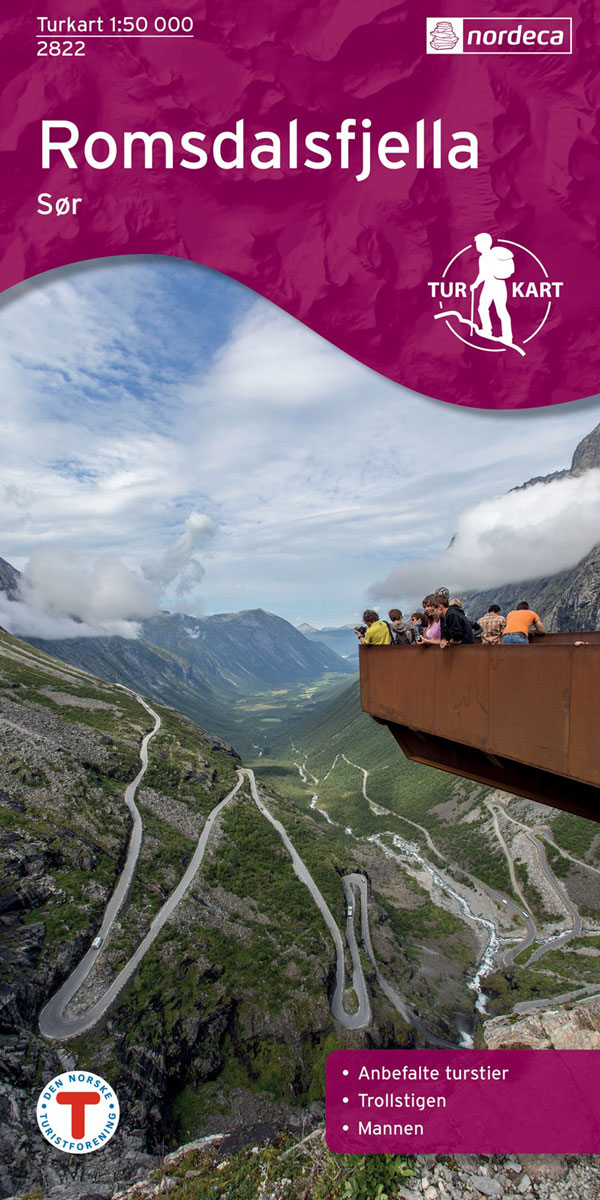
Romsdalsfjella South area in Norway in a series of GPS compatible recreational maps at 1:50,000 with cartography from Norway’s topographic survey and additional tourist information. Contours lines are drawn at 20m intervals. The overprint varies from title to title, but includes local footpaths, in some cases distinguishing between easy and more difficult trails, as well
Trillemarka-Rollagsfjell Nordeca 2824
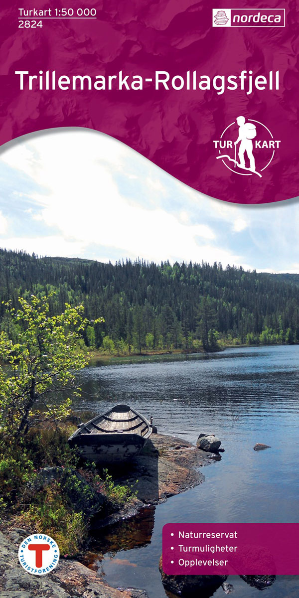
Trillemarka-Rollagsfjell area in Norway in a series of GPS compatible recreational maps at 1:50,000 with cartography from Norway’s topographic survey and additional tourist information. Contours lines are drawn at 20m intervals. The overprint varies from title to title, but includes local footpaths, in some cases distinguishing between easy and more difficult trails, as well as
Oslo Nordmark South Nordeca 2826
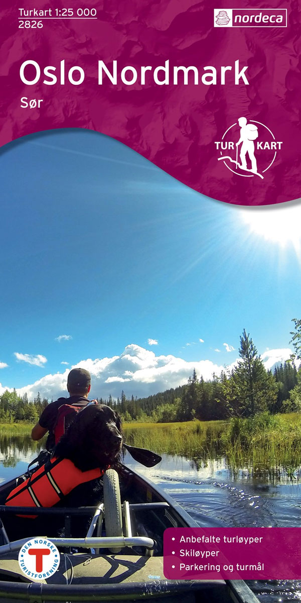
Oslo Nordmark South area in Norway in a series of GPS compatible recreational maps at 1:25,000 with cartography based on the country’s topographic survey and additional tourist information. The base map is an enlargement of the standard 1:50,000 topographic survey series. Contours lines are drawn at 20m intervals. The overprint varies from title to title,
Trollheimen North Nordeca 2827
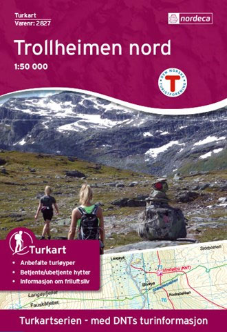
Trollheimen area in Norway in a series of GPS compatible recreational maps at 1:50,000 with cartography from Norway’s topographic survey and additional tourist information. Contours lines are drawn at 20m intervals. The overprint varies from title to title, but includes local footpaths, in some cases distinguishing between easy and more difficult trails, as well as
Trollheimen South Nordeca 2828
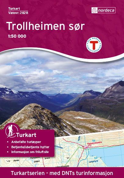
Trollheimen area in Norway in a series of GPS compatible recreational maps at 1:50,000 with cartography from Norway’s topographic survey and additional tourist information. Contours lines are drawn at 20m intervals. The overprint varies from title to title, but includes local footpaths, in some cases distinguishing between easy and more difficult trails, as well as
Dovrefjell – Snรธhetta Nordeca 2829
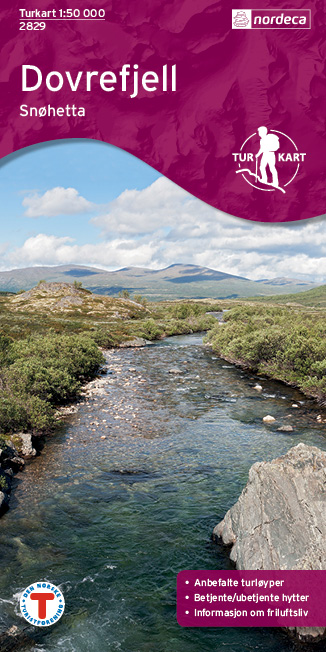
The Snรธhetta area of the Dovrefjell mountain range in northern Norway on a contoured and GPS-compatible, waterproof and tear-resistant Turkart map at 1:50,000 from Nordeca with cartography of the country’s topographic survey overprinted with hiking and ski trails, etc.Contours are at 20m intervals with spot heights and colouring for glaciers and forested areas. The overprint
Hallingskarvet NP Nordeca 3001

Topo 3000 Hallingskarvet National Park by Nordeca AS is a detailed map covering over 3000km2. Easy to find hiking routes and lodgings in the area. In addition to covering Hallingskarvet, the map is ideal for riding in Rallarvegen, hiking in Aurlandsdalen, glacier walking on Hardangerjรธkulen or hiking from cabin to cabin starting from Hallingskeid or
Langsua Nordeca 3002

Topo 3000 Lansua by Nordeca AS is a detailed map covering over 3000km2 of the area between Beitostรธlen, Espedalen and Spรฅtind. Easy to find hiking routes and lodgings in the area. The map covers all of Langsua national park and is perfect for hiking from cabin to cabin in Huldrehiemen, going to the top of
Lysefjorden Nordeca 3003
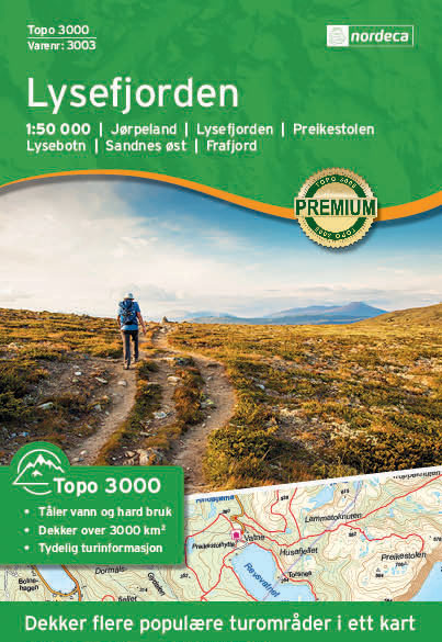
Topo 3000 Lysefjorden by Nordeca is a detailed map covering an area of 64 x 47 km (over 3000 km2). Here you will find the hiking routes easily, over the mountains, through the forest and along the roads. Lodgings are clearly marked to facilitate your planning.
Haukelifjell Nordeca 3004

Topo 3000 Haukelifjell by Nordeca AS is a detailed map covering an area of 64 x 47 km (over 3000 km2). Here you will find the hiking routes easily, over the mountains, through the forest and along the roads. Lodgings are clearly marked to facilitate your planning.
Hurrungane Nordeca 2758
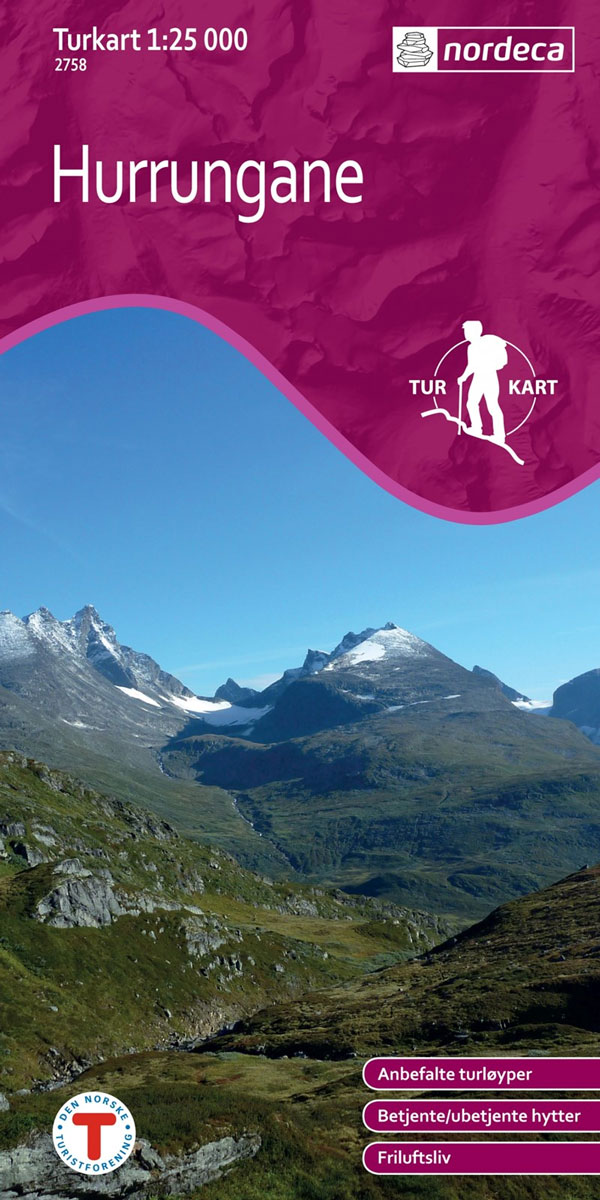
Hurrungane area in Norway in a series of GPS compatible recreational maps at 1:25,000 with cartography based on the country’s topographic survey and additional tourist information. The base map is an enlargement of the standard 1:50,000 topographic survey series. Contours lines are drawn at 20m intervals. The overprint varies from title to title, but includes
Vesteralen – Hinnoya North Nordeca 2812

The northern part of the Vesterรฅlen archipelago with Hinnรธya and the nearby smaller islands on a light, waterproof and tear-resistant, contoured and GPS compatible Turkart map at 1:100,000 from Nordeca with cartography of the Norwegian topographic survey and additional tourist information. Contours lines are drawn at 40m intervals, with spot heights and additional colouring and/or
Geirangerfjorden Nordeca 2760
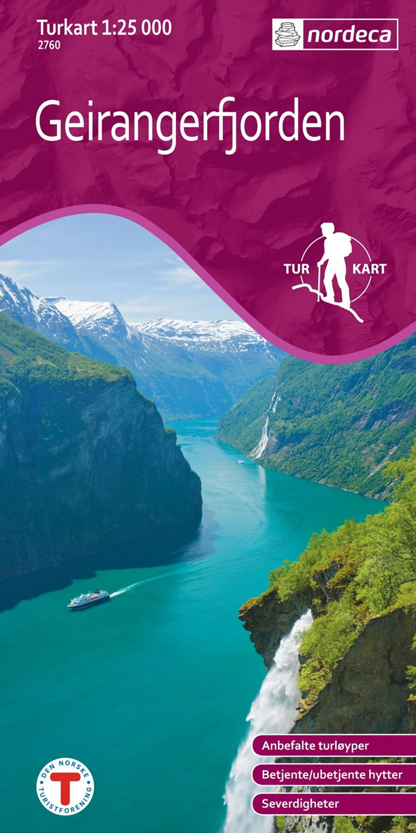
Geirangerfjorden area in Norway in a series of GPS compatible recreational maps at 1:25,000 with cartography based on the country’s topographic survey and additional tourist information. The base map is an enlargement of the standard 1:50,000 topographic survey series. Contours lines are drawn at 20m intervals. The overprint varies from title to title, but includes
Sveio Nordeca 2813
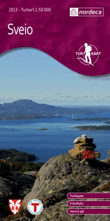
Sveio area in a series of GPS compatible recreational maps at 1:50,000 with cartography from Norway’s topographic survey and additional tourist information. Contours lines are drawn at 20m intervals. The overprint varies from title to title, but includes local footpaths, in some cases distinguishing between easy and more difficult trails, as well as mountain huts
Stavanger and North Jaeren Nordeca 2762
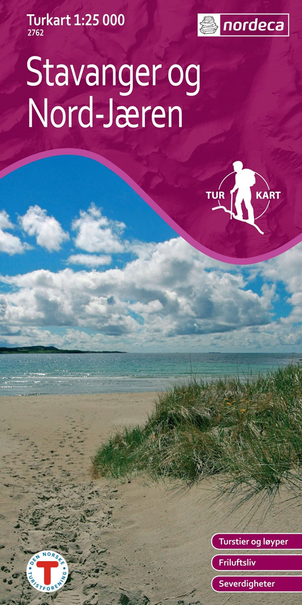
Stavanger West area in Norway in a series of GPS compatible recreational maps at 1:25,000 with cartography based on the country’s topographic survey and additional tourist information. The base map is an enlargement of the standard 1:50,000 topographic survey series. Contours lines are drawn at 20m intervals. The overprint varies from title to title, but
Froya Nordeca 2814

Freya area in Norway in a series of GPS compatible recreational maps at 1:50,000 with cartography from Norway’s topographic survey and additional tourist information. Contours lines are drawn at 20m intervals. The overprint varies from title to title, but includes local footpaths, in some cases distinguishing between easy and more difficult trails, as well as