Category Archives: Maps
Alvdal Vestfjell Nordeca 3015

Topo 3000 Breheimen by Nordeca AS is a detailed map covering an area of 64 x 47 km (over 3000 km2). Here you will find the hiking routes easily, over the mountains, through the forest and along the roads. Lodgings are clearly marked to facilitate your planning.
South Valdres Nordeca 3021

Topo 3021 South Valdres by Nordeca AS is a detailed map covering an area of 64 x 47 km (over 3000 km2). Here you will find the hiking routes easily, over the mountains, through the forest and along the roads. Lodgings are clearly marked to facilitate your planning.
Hemsedal Nordeca 3022

Topo 3022 Hemsedal by Nordeca AS is a detailed map covering an area of 64 x 47 km (over 3000 km2). Here you will find the hiking routes easily, over the mountains, through the forest and along the roads. Lodgings are clearly marked to facilitate your planning.
Indre Etnefjell Nordeca 3023

Topo 3023 Indre Etnefjell by Nordeca AS is a detailed map covering an area of 64 x 47 km (over 3000 km2). Here you will find the hiking routes easily, over the mountains, through the forest and along the roads. Lodgings are clearly marked to facilitate your planning.
Sylan South Nordeca 3024

Topo 3024 Sylan South by Nordeca AS is a detailed map covering an area of 64 x 47 km (over 3000 km2). Here you will find the hiking routes easily, over the mountains, through the forest and along the roads. Lodgings are clearly marked to facilitate your planning.
Sylan North Nordeca 3025

Topo 3025 Sylan North by Nordeca AS is a detailed map covering an area of 64 x 47 km (over 3000 km2). Here you will find the hiking routes easily, over the mountains, through the forest and along the roads. Lodgings are clearly marked to facilitate your planning.
Lyngen Peninsula Nordeca 3026
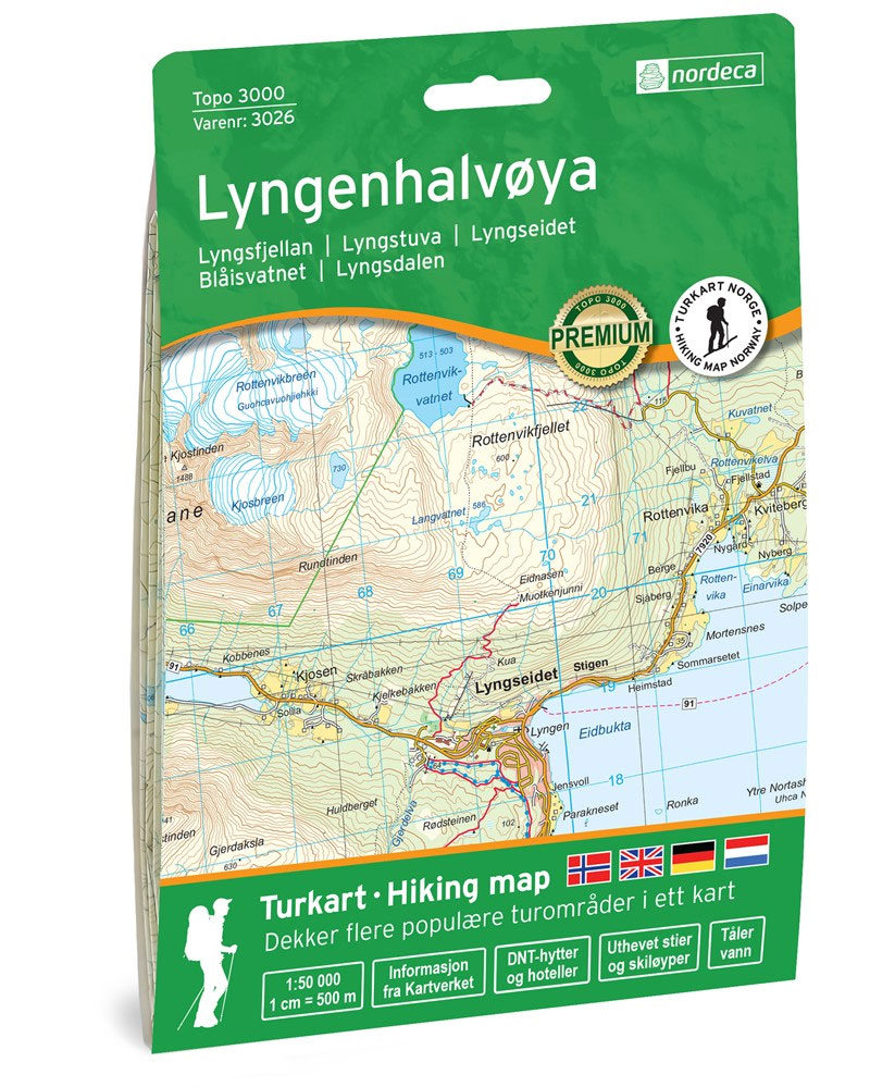
Topo 3026 Lyngen Peninsula by Nordeca AS is a detailed map covering an area of 64 x 47 km (over 3000 km2). Here you will find the hiking routes easily, over the mountains, through the forest and along the roads. Lodgings are clearly marked to facilitate your planning.
Hedmarksvidda Nordeca 3027

Topo 3027 Hedmarksvidda by Nordeca AS is a detailed map covering an area of 64 x 47 km (over 3000 km2). Here you will find the hiking routes easily, over the mountains, through the forest and along the roads. Lodgings are clearly marked to facilitate your planning.
Senja South Nordeca 3028

Topo 3027 Hedmarksvidda by Nordeca AS is a detailed map covering an area of 64 x 47 km (over 3000 km2). Here you will find the hiking routes easily, over the mountains, through the forest and along the roads. Lodgings are clearly marked to facilitate your planning.
Hoyanger West Nordeca 2815

Hoyanger West area in Norway in a series of GPS compatible recreational maps at 1:50,000 with cartography from Norway’s topographic survey and additional tourist information. Contours lines are drawn at 20m intervals. The overprint varies from title to title, but includes local footpaths, in some cases distinguishing between easy and more difficult trails, as well
Lillehammer-Rena Nordeca 3008

Topo 3000 Lillehammer-Rena by Nordeca AS is a detailed map covering an area of 64 x 47 km (over 3000 km2). Here you will find the hiking routes easily, over the mountains, through the forest and along the roads. Lodgings are clearly marked to facilitate your planning.
Hoyanger East Nordeca 2816
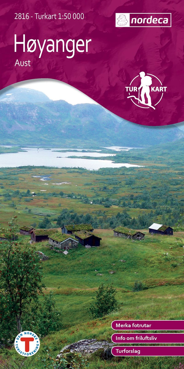
Hoyanger East area in Norway in a series of GPS compatible recreational maps at 1:50,000 with cartography from Norway’s topographic survey and additional tourist information. Contours lines are drawn at 20m intervals. The overprint varies from title to title, but includes local footpaths, in some cases distinguishing between easy and more difficult trails, as well
Jostedalsbreen NP Nordeca 3009
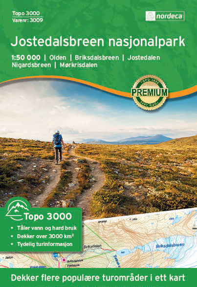
Topo 3000 Jostedalsbreen National Park by Nordeca AS is a detailed map covering an area of 64 x 47 km (over 3000 km2). Here you will find the hiking routes easily, over the mountains, through the forest and along the roads. Lodgings are clearly marked to facilitate your planning.
Romsdalsfjella North Nordeca 2821
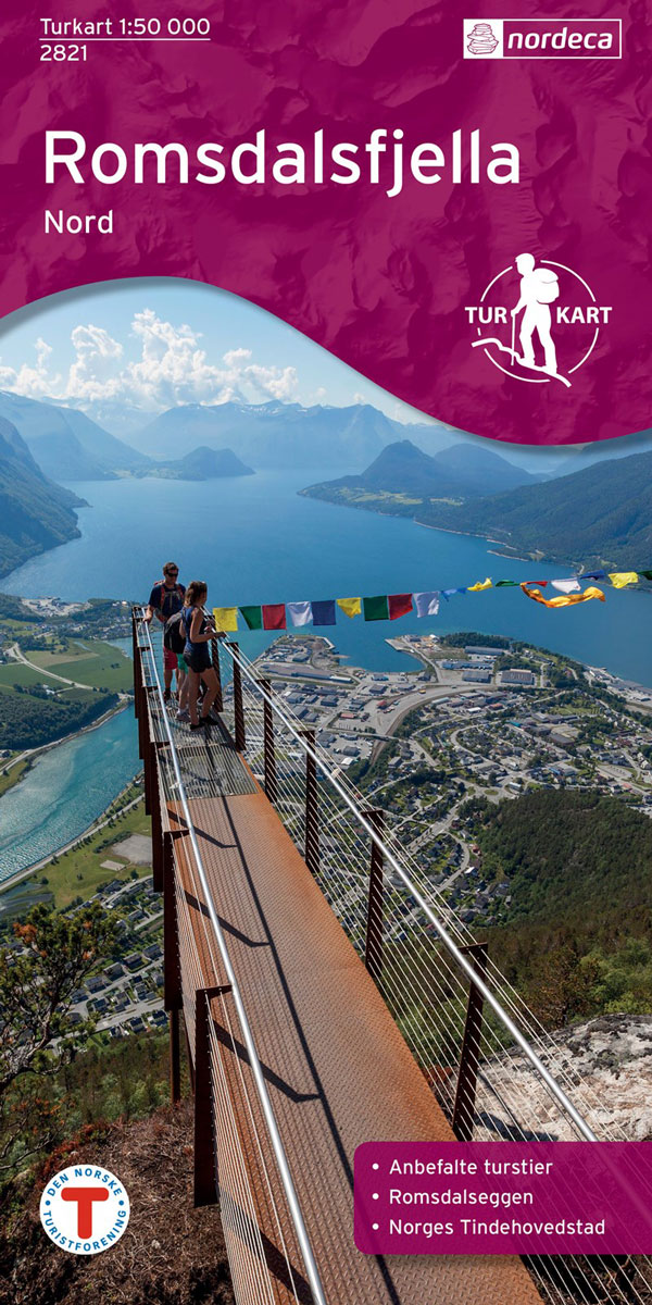
Romsdalsfjella North area in Norway in a series of GPS compatible recreational maps at 1:50,000 with cartography from Norway’s topographic survey and additional tourist information. Contours lines are drawn at 20m intervals. The overprint varies from title to title, but includes local footpaths, in some cases distinguishing between easy and more difficult trails, as well
Tromsรธ-Kvalรธya Nordeca 3010

Topo 3000 Tromsรธ-Kvalรธya by Nordeca AS is a detailed map covering an area of 64 x 47 km (over 3000 km2). Here you will find the hiking routes easily, over the mountains, through the forest and along the roads. Lodgings are clearly marked to facilitate your planning.
Romsdalsfjella South Nordeca 2822
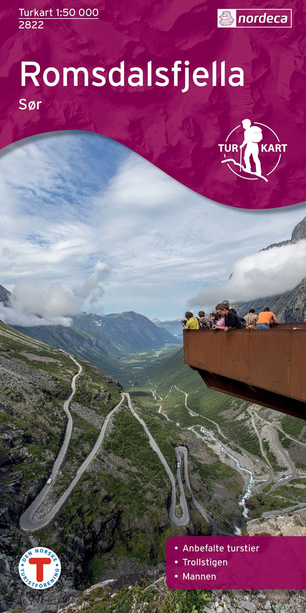
Romsdalsfjella South area in Norway in a series of GPS compatible recreational maps at 1:50,000 with cartography from Norway’s topographic survey and additional tourist information. Contours lines are drawn at 20m intervals. The overprint varies from title to title, but includes local footpaths, in some cases distinguishing between easy and more difficult trails, as well
Breheimen Nordeca 3011
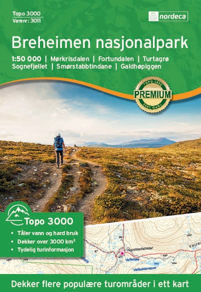
Topo 3000 Breheimen by Nordeca AS is a detailed map covering an area of 64 x 47 km (over 3000 km2). Here you will find the hiking routes easily, over the mountains, through the forest and along the roads. Lodgings are clearly marked to facilitate your planning.
Trillemarka-Rollagsfjell Nordeca 2824
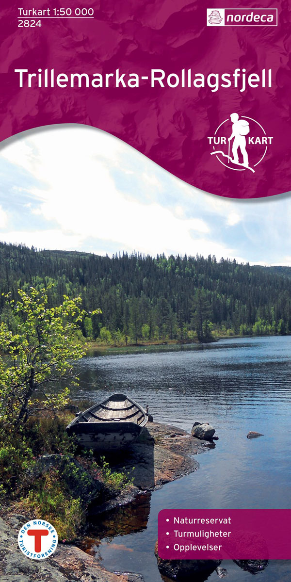
Trillemarka-Rollagsfjell area in Norway in a series of GPS compatible recreational maps at 1:50,000 with cartography from Norway’s topographic survey and additional tourist information. Contours lines are drawn at 20m intervals. The overprint varies from title to title, but includes local footpaths, in some cases distinguishing between easy and more difficult trails, as well as