Category Archives: Maps
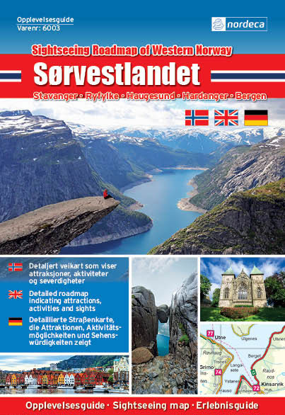
Ryfylke Nordeca Tourist Route 20002

This Ryfylke National Tourist Route Map belongs to a series of 18 map and postcards sets describing popular tourist routes all over Norway. The map set includes a map in 1:105,000 presenting an accurate topography (based on the Norwegian topographic survey) which describes local footpaths, cycle or ski routes, sport and recreational facilities, places of
The Mountains Nordeca Sightseeing Map 6005
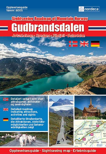
– Area covered : Jotunheimen, Rondane, Filefjell, รsterdalen- Topography shown by colours- Road network – Detailed tourist informations on the reverse- Railways and ferry lines- Legend in norvegian/english/german
Aurlandsfjellet Nordeca Tourist Route 20005

This Aurlandsfjellet National Tourist Route Map belongs to a series of 18 map and postcards sets describing popular tourist routes all over Norway. The map set includes a map in 1: 50,000 presenting an accurate topography (based on the Norwegian topographic survey) which describes local footpaths, cycle or ski routes, sport and recreational facilities, places
Valdresflye Nordeca Tourist Route 20006

This Valdresflye National Tourist Route Map belongs to a series of 18 map and postcards sets describing popular tourist routes all over Norway. The map set includes a map in 1: 50,000 presenting an accurate topography (based on the Norwegian topographic survey) which describes local footpaths, cycle or ski routes, sport and recreational facilities, places
Hardangervidda Nordeca Sightseeing Map 6008
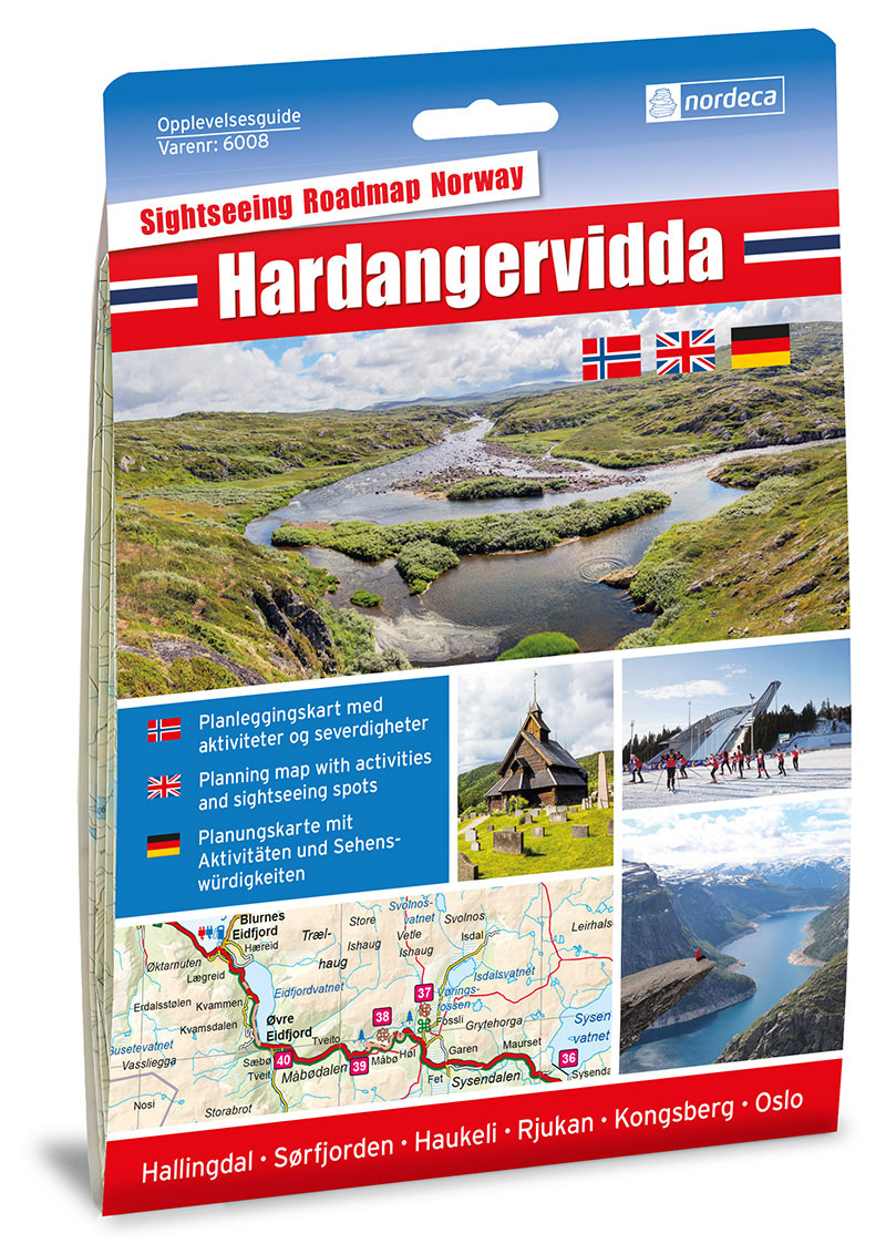
Experience Guide Hardangervidda covers the round trip from Oslo via Hallingdal Sรธrfjorden and back via Haukeli and Kongsberg, with side trips to Rjukan, Numedal and Eggedal.
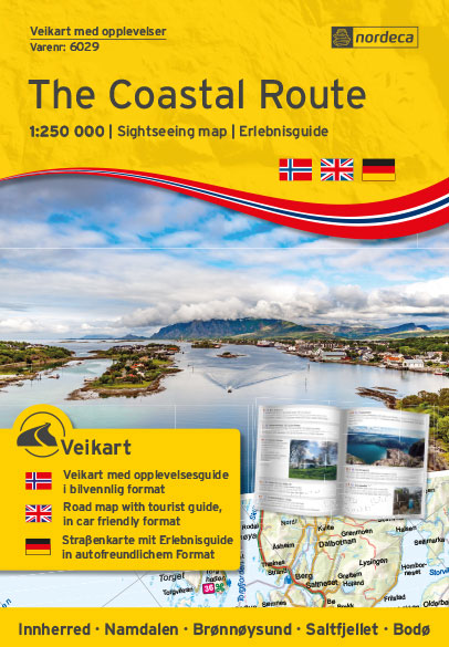
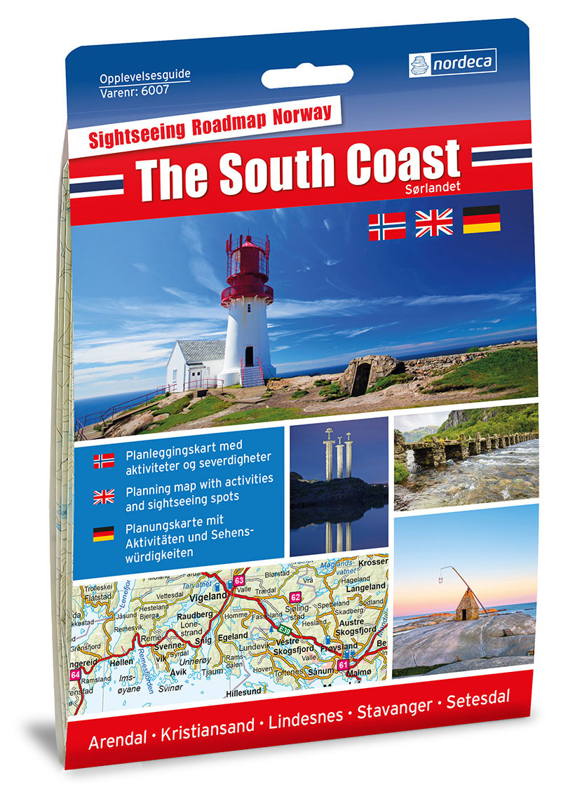
The Coastal Route Nordeca Sightseeing Map 6009
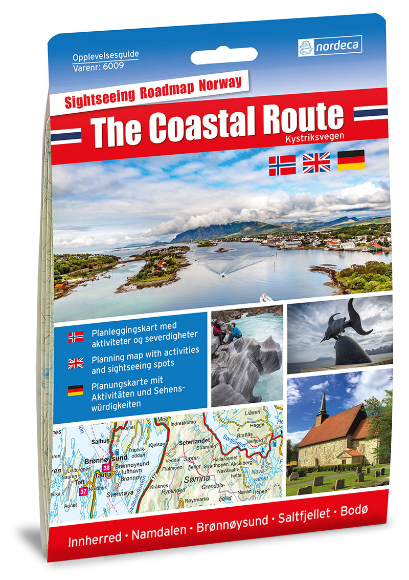
Experience Guide The Coastal Route examines the E6 and Coastal Highway rv.17 from Trondheim to Bodo, with detours to Brรธnnรธysund and Sandnessjรธen.
Senja South Nordeca 3028

Topo 3027 Hedmarksvidda by Nordeca AS is a detailed map covering an area of 64 x 47 km (over 3000 km2). Here you will find the hiking routes easily, over the mountains, through the forest and along the roads. Lodgings are clearly marked to facilitate your planning.
Senja North Nordeca 3029
Topo 3027 Hedmarksvidda by Nordeca AS is a detailed map covering an area of 64 x 47 km (over 3000 km2). Here you will find the hiking routes easily, over the mountains, through the forest and along the roads. Lodgings are clearly marked to facilitate your planning.
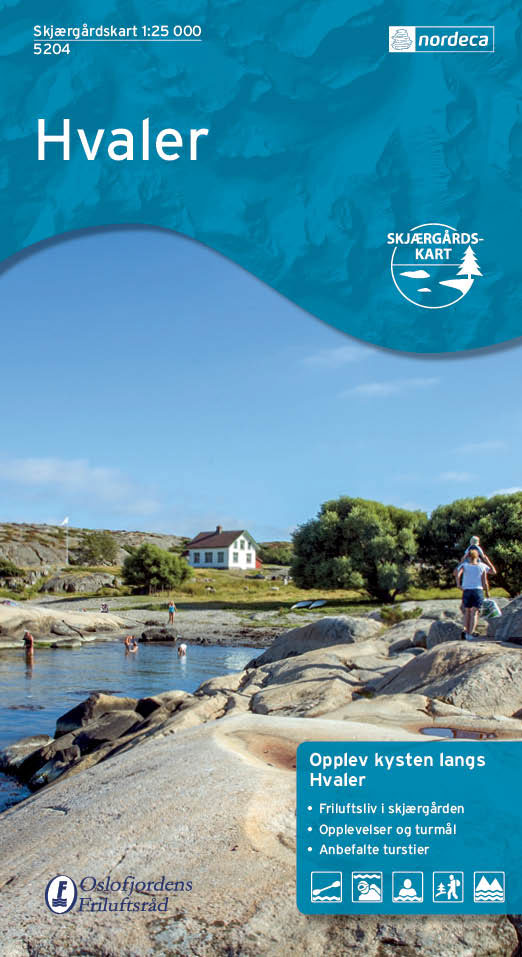
Inner Oslofjord Nordeca Watersport 5200

The Inner Oslofjord between Oslo – Drรธbak on a light, waterproof and resistant, GPS compatible double-sided map 1:25,000 from Nordeca highlighting various local recreational facilities including locations for fishing, kayaking, rowing and diving. Also marked are different types of tourist accommodation (campsites, camp grounds, tourist cabins), nature conservation sites, nudist beaches, cultural sights, etc. Road
Stavanger Nordeca Watersport 5201
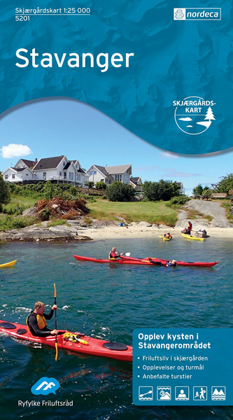
The map is printed on a durable plastified water resistant paper and is difficult to tear apart. Archipelago Skaret is a detailed route maps for coastal adventures in a scale of 1:25 000. The map features information on hiking trails on land and along the archipelago, personalized breakfast accommodation and beaches. Ideal for walking, cycling
Stolsheimen Nordeca 3012

Topo 3000 Breheimen by Nordeca AS is a detailed map covering an area of 64 x 47 km (over 3000 km2). Here you will find the hiking routes easily, over the mountains, through the forest and along the roads. Lodgings are clearly marked to facilitate your planning.
Filefjell Nordeca 3013

Topo 3000 Breheimen by Nordeca AS is a detailed map covering an area of 64 x 47 km (over 3000 km2). Here you will find the hiking routes easily, over the mountains, through the forest and along the roads. Lodgings are clearly marked to facilitate your planning.