Category Archives: Maps
Naxos Terrain Editions 311
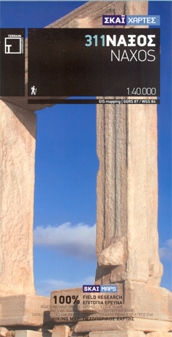
Naxos at 1:40,000 on a contoured, GPS compatible hiking map published by Terrain Cartography group together with Skai Maps, and printed on light, waterproof and tear-resistant Polyart plastic paper, with extensive tourist information.Topography is very well presented by contours, enhanced by spot heights, subtle relief shading and additional altitude colouring. Contour interval, unless indicated below
Aghios Efstratios Terrain Editions 326
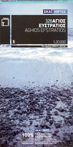
Aghios Efstratios island in the northern Aegean Sea on a light, waterproof and tear-resistant, contoured and GPS compatible map at 1:20,000 from Terrain Editions with extensive tourist information. All place names are shown in both Greek and Latin alphabet. Map legend and all the text include English.Maps of the Greek islands from Terrain Editions have
Tilos Terrain Editions 340
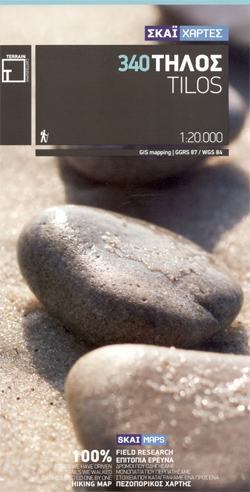
Tilos at 1:20,000 on a contoured, GPS compatible hiking map published by Terrain Cartography group together with Skai Maps, and printed on light, waterproof and tear-resistant Polyart plastic paper, with extensive tourist information.Topography is very well presented by contours, enhanced by spot heights, subtle relief shading and additional altitude colouring. Contour interval, unless indicated below
Patmos Terrain Editions 335
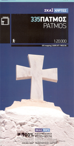
Patmos with the nearby Hiliomodi at 1:20,000 on a contoured, GPS compatible hiking map published by Terrain Cartography group together with Skai Maps, and printed on light, waterproof and tear-resistant Polyart plastic paper, with extensive tourist information.Topography is very well presented by contours, enhanced by spot heights, subtle relief shading and additional altitude colouring. Contour
Santorini Terrain Editions 313
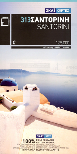
Santorini at 1:25,000 on a contoured, GPS compatible hiking map published by Terrain Cartography group together with Skai Maps, and printed on light, waterproof and tear-resistant Polyart plastic paper, with extensive tourist information. Coverage includes Thirasia and the two Kammeni islands.Topography is very well presented by contours, enhanced by spot heights, subtle relief shading and
Lemnos Terrain Editions 325
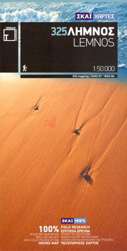
Lemnos (Limnos) at 1:50,000 on a contoured, GPS compatible hiking map published by Terrain Cartography group together with Skai Maps, and printed on light, waterproof and tear-resistant Polyart plastic paper, with extensive tourist information.Topography is very well presented by contours, enhanced by spot heights, subtle relief shading and additional altitude colouring. Contour interval, unless indicated
Arki – Lipsi – Aghathonisi Terrain Editions 334
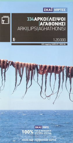
Greek islands of Arki (Arkoi), Lipsi and Aghathonisi on a light, waterproof and tear-resistant, contoured and GPS compatible map at 1:20,000 from Terrain Editions. On the reverse are notes about the three islands, illustrated with colour photos. All place names are shown in both Greek and Latin alphabet. Map legend and all the text include
Leros Terrain Editions 336
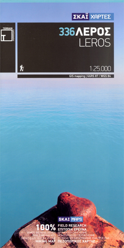
Leros at 1:25,000 on a contoured, GPS compatible hiking map published by Terrain Cartography group together with Skai Maps, and printed on light, waterproof and tear-resistant Polyart plastic paper, with extensive tourist information.Topography is very well presented by contours, enhanced by spot heights, subtle relief shading and additional altitude colouring. Contour interval, unless indicated below
Nisyros Terrain Editions 339
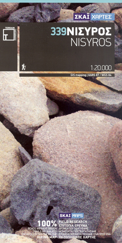
Nisyros and the nearby island of Ghyali at 1:20,000 on a contoured, GPS compatible hiking map published by Terrain Cartography group together with Skai Maps, and printed on light, waterproof and tear-resistant Polyart plastic paper, with extensive tourist information.Topography is very well presented by contours, enhanced by spot heights, subtle relief shading and additional altitude
Kythnos Terrain Editions 302
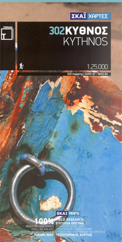
Greek island of Kythnos on a light, waterproof and tear-resistant, contoured and GPS compatible map at 1:25,000 from Terrain Editions, with astreet plan of the Hora of Kythnos at 1:2,500, plus descriptions of 13 specially selected hiking trails. All place names are shown in both Greek and Latin alphabet. Map legend and all the text
Kea / Tzia Terrain Editions 301
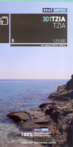
Greek island of Kea (Tzia) on a light, waterproof and tear-resistant, contoured and GPS compatible map at 1:25,000 from Terrain Editions. The reverse side includes descriptions of ten specially selected hiking trails. All place names are shown in both Greek and Latin alphabet. Map legend and all the text include English.Maps of the Greek islands
Lefkada Terrain Editions 351
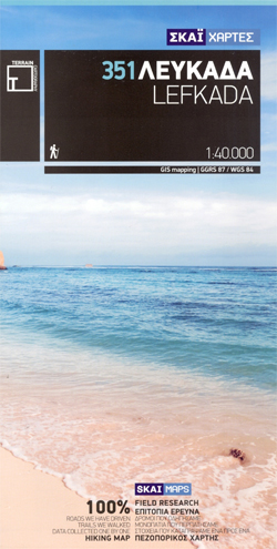
Lefkada (Lefkas) and the nearby Meghanisi at 1:40,000 on a contoured, GPS compatible hiking map published by Terrain Cartography group together with Skai Maps, and printed on light, waterproof and tear-resistant Polyart plastic paper, with extensive tourist information.Topography is very well presented by contours, enhanced by spot heights, subtle relief shading and additional altitude colouring.
Kos Terrain Editions Map 338
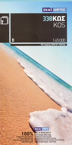
Greek island of Kos on a light, waterproof and tear-resistant, contoured and GPS compatible map at 1:45,000 from Terrain Editions. On the reverse are notes about the island and its sights. All place names are shown in both Greek and Latin alphabet. Map legend and all the text include English.Maps of the Greek islands from


