Category Archives: Maps
Serifos Anavasi 10.25
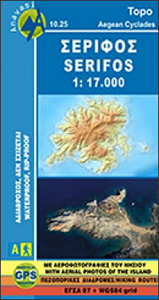
The island of Serifos in the Cyclades on light, a waterproof and tear-resistant, contoured and GPS compatible map at 1:17,000 from Anavasi, with on the reverse a special map to highlight and annotate nine recommended hiking trails.Landscape is vividly shown by contours at 20m with altitude colouring, hill shading and spot heights. The map indicates
Alonisos – Northern Sporades Marine Park Anavasi 9.2
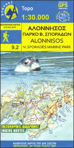
The island of Alonnisos on a light, waterproof and tear-resistant, contoured and GPS compatible map at 1:30,000 from Anavasi highlighting 14 recommended walks. On the reverse is a map showing the nearby islands of the Northern Sporades Marine Park highlighting locations of 16 archaeological sites. All place names are in both Greek and Latin alphabets.Landscape
Lousios Anavasi 8.51
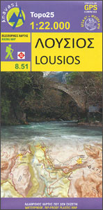
Lousios (Loussios) George in the northern part of the Peloponnese on a contoured and GPS compatible map at 1:22,000 from Anavasi, printed on light, waterproof and tear-resistant synthetic paper. Coverage extends from Dimitsana southwards to Karitena, and includes Stemnitsa with Klinitsa and the adjoining peaks. On one side is a topographic map of the area
Chios – Psara – Inouses Anavasi 10.31
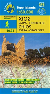
Chios with Oinousses on a light, waterproof and tear-resistant, contoured and GPS compatible map at 1:60,000 published by Anavasi, with the nearby island of Psara shown on the reverse at 1:40,000. Plus street maps of the town on Chios and of the historic Kampos area near the island’s airport.Landscape is vividly presented by contours at
Amorgos Anavasi 10.27
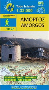
The island of Amorgos in the Cyclades on a light, waterproof and tear-resistant, contoured and GPS compatible map at 1:32,000 from Anavasi. 16 recommended walks are accompanied by brief descriptions and the map also includes a street plan of Chora.Landscape is vividly presented by contours at 20m intervals with hill shading and spot heights. The
Syros Anavasi 10.22
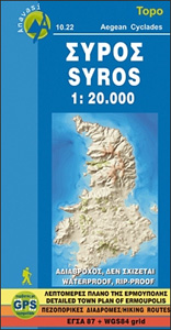
Syros in the Cyclades on light, a waterproof and tear-resistant, contoured and GPS compatible map at 1:20,000 from Anavasi for exploring the island on foot or by car. On the reverse is a street plan of Ermoupoli / Hermoupolis showing various facilities and places of interest, plus contact details for various accommodation options.Landscape of the
Lesbos: Aghiasos & Environs 18K Geopsis Map
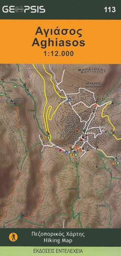
The Aghiasos area of the island of Lesbos on a GPS compatible contoured map at 1:12,000 from Geopsis printed on light, waterproof and tear-resistant paper. Enlargements and descriptions provide more information for hiking.On one side is a map at 1:12,000 covering the area around the inland town of Aghiasos. Contours at 10m intervals with vivid
Paros – Antiparos Anavasi 10.23
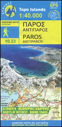
Paros at 1:40,000 on a light, waterproof and tear-resistant, contoured and GPS-compatible map from Anavasi with English language descriptions of best sights. Topography is very clearly presented by contours at 20m intervals enhanced by relief shading and altitude colouring. The map indicates dirt roads in poor condition and shows locations of bus stops. The marking
Arki – Lipsi – Aghathonisi Terrain Editions 334
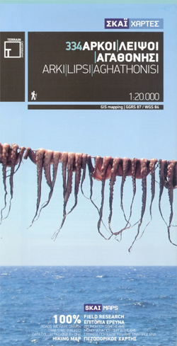
Greek islands of Arki (Arkoi), Lipsi and Aghathonisi on a light, waterproof and tear-resistant, contoured and GPS compatible map at 1:20,000 from Terrain Editions. On the reverse are notes about the three islands, illustrated with colour photos. All place names are shown in both Greek and Latin alphabet. Map legend and all the text include
Leros Terrain Editions 336
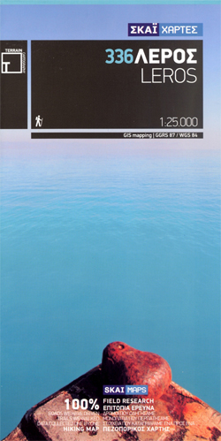
Leros at 1:25,000 on a contoured, GPS compatible hiking map published by Terrain Cartography group together with Skai Maps, and printed on light, waterproof and tear-resistant Polyart plastic paper, with extensive tourist information.Topography is very well presented by contours, enhanced by spot heights, subtle relief shading and additional altitude colouring. Contour interval, unless indicated below
Nisyros Terrain Editions 339
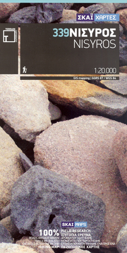
Nisyros and the nearby island of Ghyali at 1:20,000 on a contoured, GPS compatible hiking map published by Terrain Cartography group together with Skai Maps, and printed on light, waterproof and tear-resistant Polyart plastic paper, with extensive tourist information.Topography is very well presented by contours, enhanced by spot heights, subtle relief shading and additional altitude
Mykonos – Delos – Rinia Terrain Editions 309
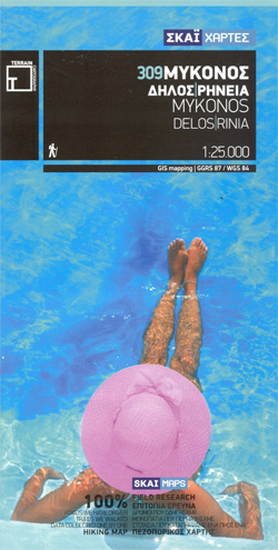
Mykonos, Delos and Rinia at 1:25,000 on a contoured, GPS compatible hiking map published by Terrain Cartography group together with Skai Maps, and printed on light, waterproof and tear-resistant Polyart plastic paper, with extensive tourist information.Topography is very well presented by contours, enhanced by spot heights, subtle relief shading and additional altitude colouring. Contour interval,
Tinos Terrain Editions 308
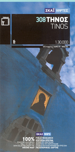
Tinos at 1:30,000 on a contoured, GPS compatible hiking map published by Terrain Cartography group together with Skai Maps, and printed on light, waterproof and tear-resistant Polyart plastic paper, with extensive tourist information.Topography is very well presented by contours, enhanced by spot heights, subtle relief shading and additional altitude colouring. Contour interval, unless indicated below
Syros Terrain Editions 305
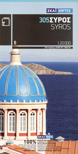
Syros at 1:20,000 on a contoured, GPS compatible hiking map published by Terrain Cartography group together with Skai Maps, and printed on light, waterproof and tear-resistant Polyart plastic paper, with extensive tourist information.Topography is very well presented by contours, enhanced by spot heights, subtle relief shading and additional altitude colouring. Contour interval, unless indicated below
Kythira Terrain Editions 346
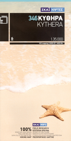
Greek island of Kythira on a light, waterproof and tear-resistant, contoured and GPS compatible map at 1:35,000 from Terrain Editions. Notes on the reverse the map include information on the island`s climbing sites and descriptions of four hiking trails. All place names are shown in both Greek and Latin alphabet. Map legend and all the
Samos Terrain Editions 331 SUPERCEDED
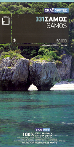
Samos at 1:50,000 on a contoured, GPS compatible hiking map published by Terrain Cartography group together with Skai Maps, and printed on light, waterproof and tear-resistant Polyart plastic paper, with extensive tourist information.Topography is very well presented by contours, enhanced by spot heights, subtle relief shading and additional altitude colouring. Contour interval, unless indicated below
Kalymnos Terrain Editions 337
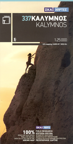
Greek island of Kalymnos on a light, waterproof and tear-resistant, contoured and GPS compatible map at 1:25,000 from Terrain Editions, with a street plan of Kalymnos Town (Pothia) at 1:3,500. The reverse side includes information on the island’s rock climbing sites, plus descriptions of 13 specially selected hiking trails. All place names are shown in
Sifnos Terrain Editions 304
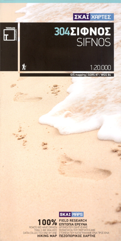
Sifnos at 1:20,000 on a contoured, GPS compatible hiking map published by Terrain Cartography group together with Skai Maps, and printed on light, waterproof and tear-resistant Polyart plastic paper, with extensive tourist information.Topography is very well presented by contours, enhanced by spot heights, subtle relief shading and additional altitude colouring. Contour interval, unless indicated below
Symi Terrain Editions 341
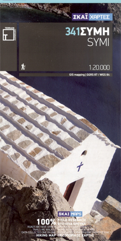
Symi at 1:20,000 on a contoured, GPS compatible hiking map published by Terrain Cartography group together with Skai Maps, and printed on light, waterproof and tear-resistant Polyart plastic paper, with extensive tourist information.Topography is very well presented by contours, enhanced by spot heights, subtle relief shading and additional altitude colouring. Contour interval, unless indicated below


