Category Archives: Maps
Baixa Ribagorรงa

Topographic survey of Catalonia at 1:25,000 from the Institut Cartogrร fic i Geolรฒgic de Catalunya, an attractive alternative to Spain’s national topographic survey at this scale, offering a much larger area per sheet with extensive tourist information and vivid presentation of vegetation and land use.These large, detailed maps have contours at 10m intervals enhanced by hill
Garraf
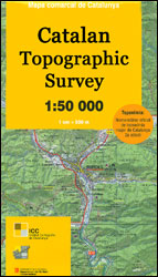
Topographic survey of Catalonia at 1:50,000 from the Institut Cartogrร fic de Catalunya, with vivid presentation of the terrain and an overprint for long-distance GR hiking trails. The series provides an excellent alternative to the much smaller sheets in the civilian or military surveys produced for the whole of Spain. The Catalan 50K series has not
Organyร -Boumort – Serra de Taรบs
Topographic survey of Catalonia at 1:25,000 from the Institut Cartogrร fic i Geolรฒgic de Catalunya, an attractive alternative to Spain’s national topographic survey at this scale, offering a much larger area per sheet with extensive tourist information and vivid presentation of vegetation and land use.These large, detailed maps have contours at 10m intervals enhanced by hill
Noguera
Topographic survey of Catalonia at 1:50,000 from the Institut Cartogrร fic de Catalunya, with vivid presentation of the terrain and an overprint for long-distance GR hiking trails. The series provides an excellent alternative to the much smaller sheets in the civilian or military surveys produced for the whole of Spain. The Catalan 50K series has not
Vall de la Llosa – el Baridร
Topographic survey of Catalonia at 1:25,000 from the Institut Cartogrร fic i Geolรฒgic de Catalunya, an attractive alternative to Spain’s national topographic survey at this scale, offering a much larger area per sheet with extensive tourist information and vivid presentation of vegetation and land use.These large, detailed maps have contours at 10m intervals enhanced by hill
Solsonรจs
Topographic survey of Catalonia at 1:50,000 from the Institut Cartogrร fic de Catalunya, with vivid presentation of the terrain and an overprint for long-distance GR hiking trails. The series provides an excellent alternative to the much smaller sheets in the civilian or military surveys produced for the whole of Spain. The Catalan 50K series has not
Cadรญ-Moixerรณ Natural Park West: la Seu d’Urgell – Vall de la Vansa
Topographic survey of Catalonia at 1:25,000 from the Institut Cartogrร fic i Geolรฒgic de Catalunya, an attractive alternative to Spain’s national topographic survey at this scale, offering a much larger area per sheet with extensive tourist information and vivid presentation of vegetation and land use.These large, detailed maps have contours at 10m intervals enhanced by hill
Cadรญ-Moixerรณ Natural Park East: el Moixerรณ – Tรบnel del Cadรญ
Topographic survey of Catalonia at 1:25,000 from the Institut Cartogrร fic i Geolรฒgic de Catalunya, an attractive alternative to Spain’s national topographic survey at this scale, offering a much larger area per sheet with extensive tourist information and vivid presentation of vegetation and land use.These large, detailed maps have contours at 10m intervals enhanced by hill
Montsec d’Ares – Congost de Mont-rebei
Topographic survey of Catalonia at 1:25,000 from the Institut Cartogrร fic i Geolรฒgic de Catalunya, an attractive alternative to Spain’s national topographic survey at this scale, offering a much larger area per sheet with extensive tourist information and vivid presentation of vegetation and land use.These large, detailed maps have contours at 10m intervals enhanced by hill
Puigcerda Llavia la Tossa d`Alp
Topographic survey of Catalonia at 1:25,000 from the Institut Cartogrร fic i Geolรฒgic de Catalunya, an attractive alternative to Spain’s national topographic survey at this scale, offering a much larger area per sheet with extensive tourist information and vivid presentation of vegetation and land use.These large, detailed maps have contours at 10m intervals enhanced by hill
Alt Cardener – el Port del Comte
Topographic survey of Catalonia at 1:25,000 from the Institut Cartogrร fic i Geolรฒgic de Catalunya, an attractive alternative to Spain’s national topographic survey at this scale, offering a much larger area per sheet with extensive tourist information and vivid presentation of vegetation and land use.These large, detailed maps have contours at 10m intervals enhanced by hill
Bogota Cartur Street Plan
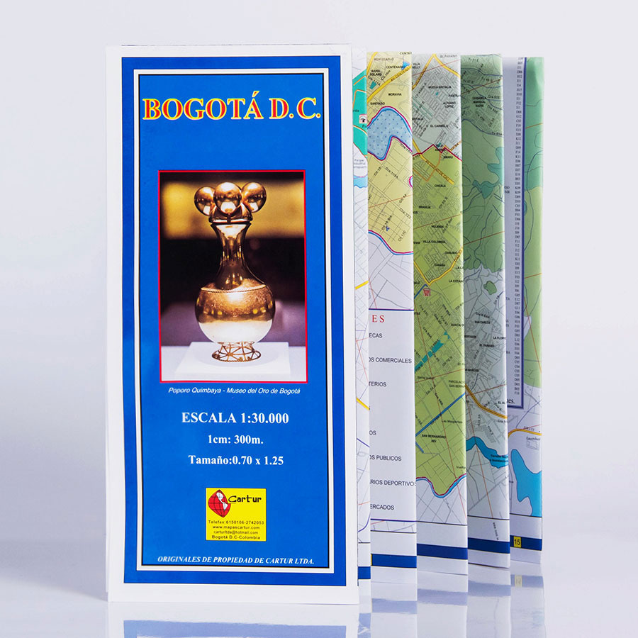
Santa Fe de Bogotรก was founded in 1538 by Gonzalo Jimenez de Quezada. He would probably have been very pleased with this map of his city. Not only is it clearly drawn, naming each street and suburb but the surrounding mountains are also shown giving an indication of its situation. The index gives the locations
Cartagena Cartur Tourist Map
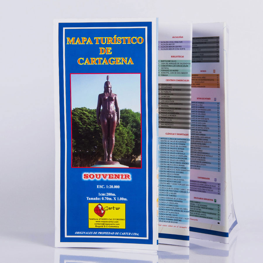
Very clear street map for the city. Every street is named, though many streets simply have numbers instead of names. The individual suburbs are also named. The hills overlooking the Cartagena Bay are shown with contours to give an indication of their height.
Medellin Cartur Tourist Map
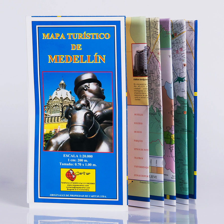
Street mapping of the whole of Medellin with contours and altitude colouring used to show the surrounding area. There is an index of important buildings and places of interest, i.e. libraries, university buildings, monuments and hospitals.
Nordkapp Nordeca 10193
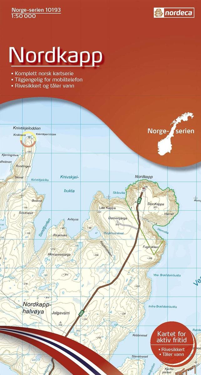
Map No. 10193, Nordkapp, in the new topographic survey of Norway at 1:50,000 covering the country on 195 double-sided sheets and first published by Nordeca in 2011 – 2012; fully GPS compatible, indicating waymarked footpaths, campsites, tourist huts, illuminated ski runs, etc.The maps, now published by Nordeca, the successors to Statens Kartverk and its subsequent
Gargano Global Map Tourist Map
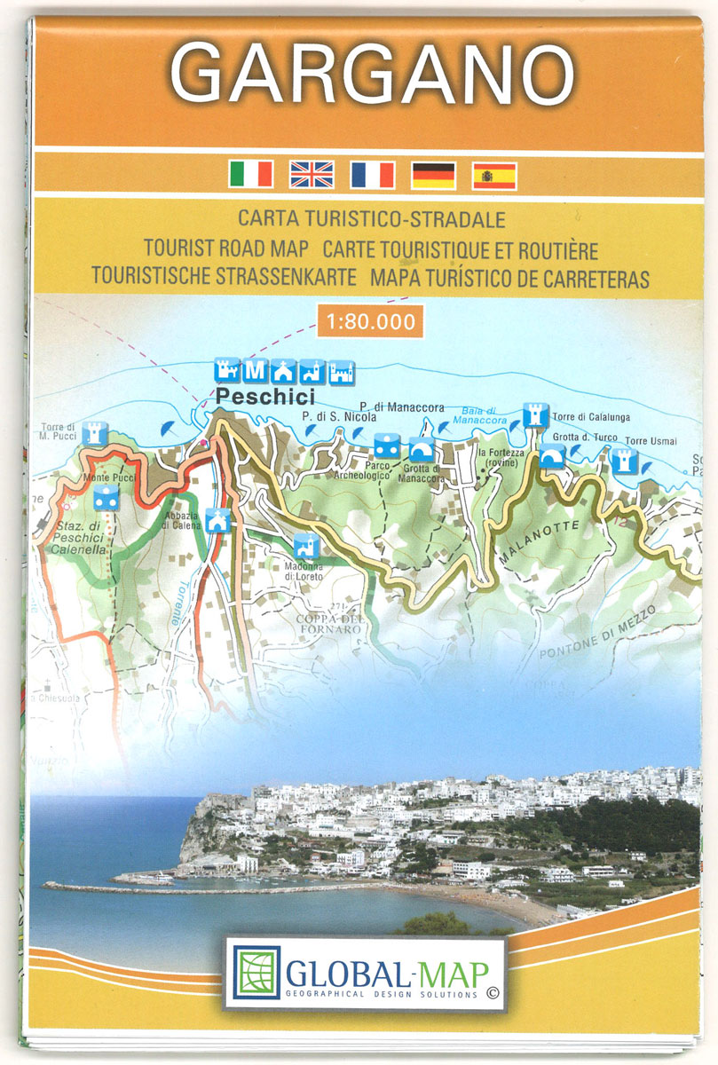
Gargano, the little spur of Italy jutting out into the Adriatic, on a detailed contoured map from Litografia Artistica Cartografica, highlighting the area’s picturesque towns and villages, campsites, ferry routes along its coast and to the nearby Trรจmiti Islands also included on the map, archaeological remains, etc.Topography is indicated by contours (although no interval is
Kjรธllefjord Nordeca 10194
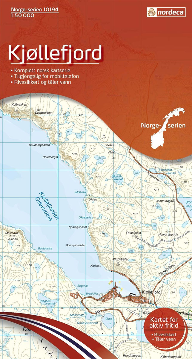
Map No. 10194, Kjรธllefjord, in the new topographic survey of Norway at 1:50,000 covering the country on 195 double-sided sheets and first published by Nordeca in 2011 – 2012; fully GPS compatible, indicating waymarked footpaths, campsites, tourist huts, illuminated ski runs, etc.The maps, now published by Nordeca, the successors to Statens Kartverk and its subsequent
Vall de Nรบria ‘“ Ulldeter
Topographic survey of Catalonia at 1:25,000 from the Institut Cartogrร fic i Geolรฒgic de Catalunya, an attractive alternative to Spain’s national topographic survey at this scale, offering a much larger area per sheet with extensive tourist information and vivid presentation of vegetation and land use.These large, detailed maps have contours at 10m intervals enhanced by hill
Mehamn Nordeca 10195

Map No. 10195, Mehamn, in the new topographic survey of Norway at 1:50,000 covering the country on 195 double-sided sheets and first published by Nordeca in 2011 – 2012; fully GPS compatible, indicating waymarked footpaths, campsites, tourist huts, illuminated ski runs, etc.The maps, now published by Nordeca, the successors to Statens Kartverk and its subsequent
El Pont de Suert
Topographic survey of Catalonia at 1:25,000 from the Institut Cartogrร fic i Geolรฒgic de Catalunya, an attractive alternative to Spain’s national topographic survey at this scale, offering a much larger area per sheet with extensive tourist information and vivid presentation of vegetation and land use.These large, detailed maps have contours at 10m intervals enhanced by hill