Category Archives: Maps
Mainalo – Artemisio – Lyrkeio – Farmakas – Ktenias Anavasi 8.5

Mount Menalo in central Peloponnese at 1:50,000 on a light, waterproof and tear-resistant, contoured and GPS compatible map from Anavasi, showing local paths including 11 recommended hiking trails. The map is indexed and includes the town on Tripoli in the south-eastern corner. The area is presented on two different maps. On one side is a
Mt Erymanthos Anavasi 8.61
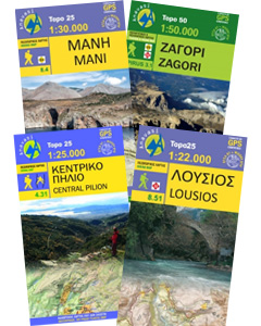
Mt Erymanthos in a series of waterproof and tear-resistant hiking maps at scales varying from 1:50,000 to 1:10,000, with a UTM grid for GPS users. Contour interval varies depending on the scale, on most maps it is 20m. Relief shading, spot heights, springs, seasonal streams and, in most titles, landscape/land-use variations, e.g. forests, orchards, or
Zakros – Vai – Sitia Anavasi 11.16
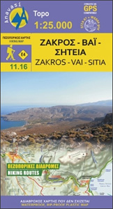
Zakros – Vai – Sitia area on the easternmost tip of Crete on a light, waterproof and tear-resistant, GPS compatible and contoured, double-sided hiking map at 1:25,000 from Anavasi. Coverage along the northern coast starts at Sitia, extending south to cover the Zakros Mountains and the eastern coast south of Kato Zakros.Topography is shown by
Fokidha Anavasi 07
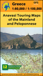
Fokidha in a series from Anavasi covering selected popular areas of central mainland Greece and the Peloponnese with GPS compatible, detailed topographic road maps at 1:100,000, printed on waterproof and tear-resistant paper. Contours at 100m intervals (or 50m where indicated in the individual descriptions), relief shading and spot heights present the topography, and the maps
Hydra Anavasi 10.40
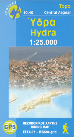
Greek island of Hydra at 1:25,000 on a waterproof and tear-resistant, contoured and GPS compatible map from Anavasi, showing hiking trails annotated with useful tips.On one side is a map of Hydra with contours at 20m intervals and hill shading to show the topography. The map indicates dirt roads in poor condition and distinguishes between
Andros Anavasi 10.21
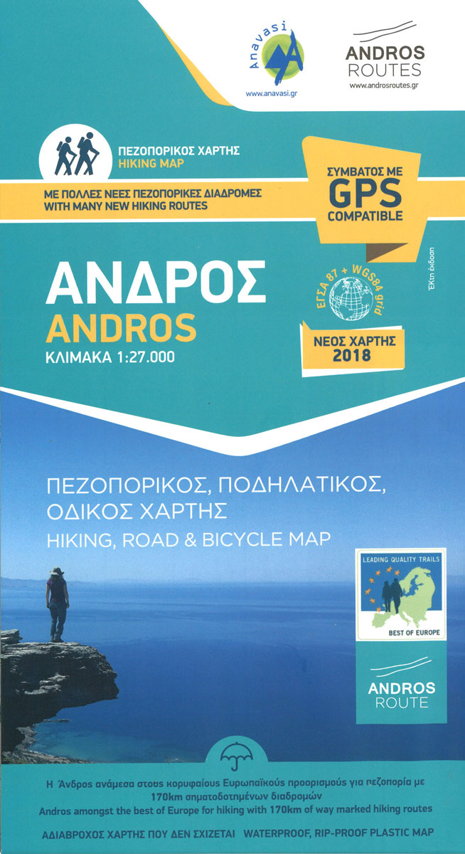
The island of Andros in the Cyclades on a light, waterproof and tear-resistant, contoured and GPS compatible, double-sided map at 1:27,000 published by Anavasi in cooperation the Andros Routes organization to highlight 16 hiking trails.The island is divided between the two sides of the map with an overlap. Landscape is vividly presented by contours at
Mt Elikon Anavasi 2.6

Mt Elikon in a series of waterproof and tear-resistant hiking maps at scales varying from 1:50,000 to 1:10,000, with a UTM grid for GPS users. Contour interval varies depending on the scale, on most maps it is 20m. Relief shading, spot heights, springs, seasonal streams and, in most titles, landscape/land-use variations, e.g. forests, orchards, or
Chania – Gavdos Anavasi 94
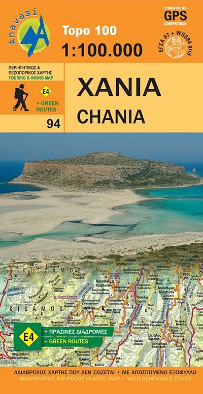
Western Crete: Chania from Anavasi in a series of three GPS compatible road maps with topographic base, printed on waterproof and tear-resistant paper. Contours at 100m intervals, relief shading and spot heights show the island’s topography, and the maps also indicate variations in vegetation: forest, shrubbery, orchards, and vineyards. Road network includes minor unsurfaced roads
Iraklion – Rethymnon – Central Crete Anavasi 93
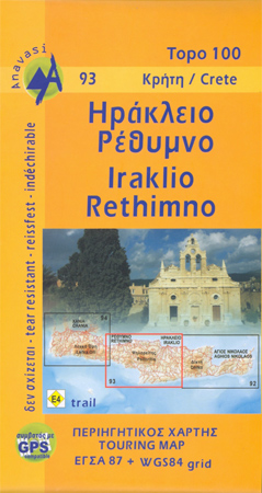
Central Crete: Rethymnon – Iraklion from Anavasi in a series of three GPS compatible road maps with topographic base, printed on waterproof and tear-resistant paper. Contours at 100m intervals, relief shading and spot heights show the island’s topography, and the maps also indicate variations in vegetation: forest, shrubbery, orchards, and vineyards. Road network includes minor
Lesbos: Mitilini Peninsula 18K Geopsis Map
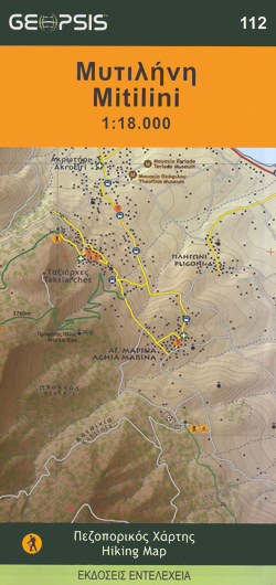
The southern part of the Mytilini/Mitilini/Mytilene Peninsula on the island of Lesbos on a GPS compatible contoured map at 1:18,000 from Geopsis printed on light, waterproof and tear-resistant paper. Enlargements and descriptions provide more information for hiking.On one side is a map at 1:18,000 covering the southern part of the peninsula, south of the town
Mt Dhirfis – Mt Xerovouni Anavasi 5.11

Mt Dhirfis in a series of waterproof and tear-resistant hiking maps at scales varying from 1:50,000 to 1:10,000, with a UTM grid for GPS users. Contour interval varies depending on the scale, on most maps it is 20m. Relief shading, spot heights, springs, seasonal streams and, in most titles, landscape/land-use variations, e.g. forests, orchards, or
Lesbos Geopsis 211
Lesbos at 1:110,000 on a road map from Greek publishers Geopsis, annotated with numerous places of interest and facilities. Printed on waterproof and tear-resistant plastic paper, the map includes a street plan of Mitilini on the reverse. On one side is a road map of the island at 1:110,000. The base is derived from satellite
Valia Kalda – Vasilitsa Anavasi 6.4
Pindos: Valia Kalda – Vasilitsa area at 1:50,000in a series of waterproof and tear-resistant hiking maps from Anavasi with a UTM grid for GPS users. The map covers part of the northern Pindus highlands, extending northwards from Metsovo to well beyond Smixi, ski centre on the northern slpes of Mt. Vasilitsa. With Samarina on its
Lefkada Anavasi 9.1
Lefkada / Lefkas in the Ionian Islands on light, a waterproof and tear-resistant, contoured and GPS compatible map at 1:40.000 from Anavasi, with on the reverse a street plan of the Lefkada Town, recommendations for hiking trails, general notes about the island, etc. Coverage includes the near-by island of Meganisi and part of the adjoining
Mt Kalidhromo Anavasi 2.2

Mt Kalidhromo in a series of waterproof and tear-resistant hiking maps at scales varying from 1:50,000 to 1:10,000, with a UTM grid for GPS users. Contour interval varies depending on the scale, on most maps it is 20m. Relief shading, spot heights, springs, seasonal streams and, in most titles, landscape/land-use variations, e.g. forests, orchards, or
Achaia Anavasi 13
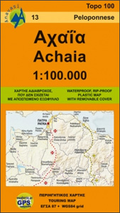
Achaia province with a plan of central Patras in a series from Anavasi covering selected popular areas of central mainland Greece and the Peloponnese with GPS compatible, detailed topographic road maps at 1:100,000, printed on waterproof and tear-resistant paper. The plan of central Patras is conveniently places on the detachable map cover.Contours at 100m intervals
Skiathos Anavasi 10.11
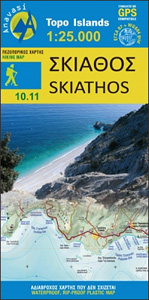
Skiathos in the Sporades on light, a waterproof and tear-resistant, contoured and GPS compatible map at 1:25,000 from Anavasi for exploring the island on foot or by car. Landscape is vividly shown by contours at 20m with altitude colouring, hill shading and spot heights. The map indicates dirt roads in poor condition, with distances marked
Mt Olympus Anavasi 6.11
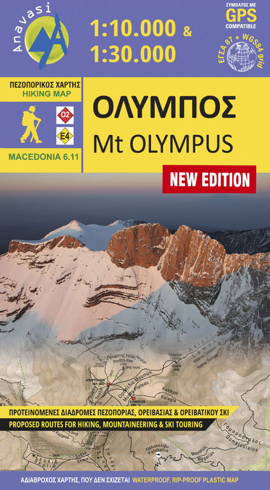
Mt Olympus in a series of waterproof and tear-resistant hiking maps at scales varying from 1:50,000 to 1:10,000, with a UTM grid for GPS users. Contour interval varies depending on the scale, on most maps it is 20m. Relief shading, spot heights, springs, seasonal streams and, in most titles, landscape/land-use variations, e.g. forests, orchards, or
Sifnos Anavasi 10.26
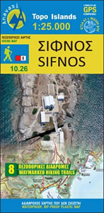
Sifnos in the Cyclades on light, a waterproof and tear-resistant, contoured and GPS compatible map at 1:25,000 from Anavasi for exploring the island on foot or by car, highlighting eight recommended hiking trails, plus descriptions of 11 most interesting locations on Sifnos.Landscape is vividly shown by contours at 20m with altitude colouring, hill shading and


