Category Archives: Maps
Kalymnos – Telendos & Pserimos Anavasi 10.32
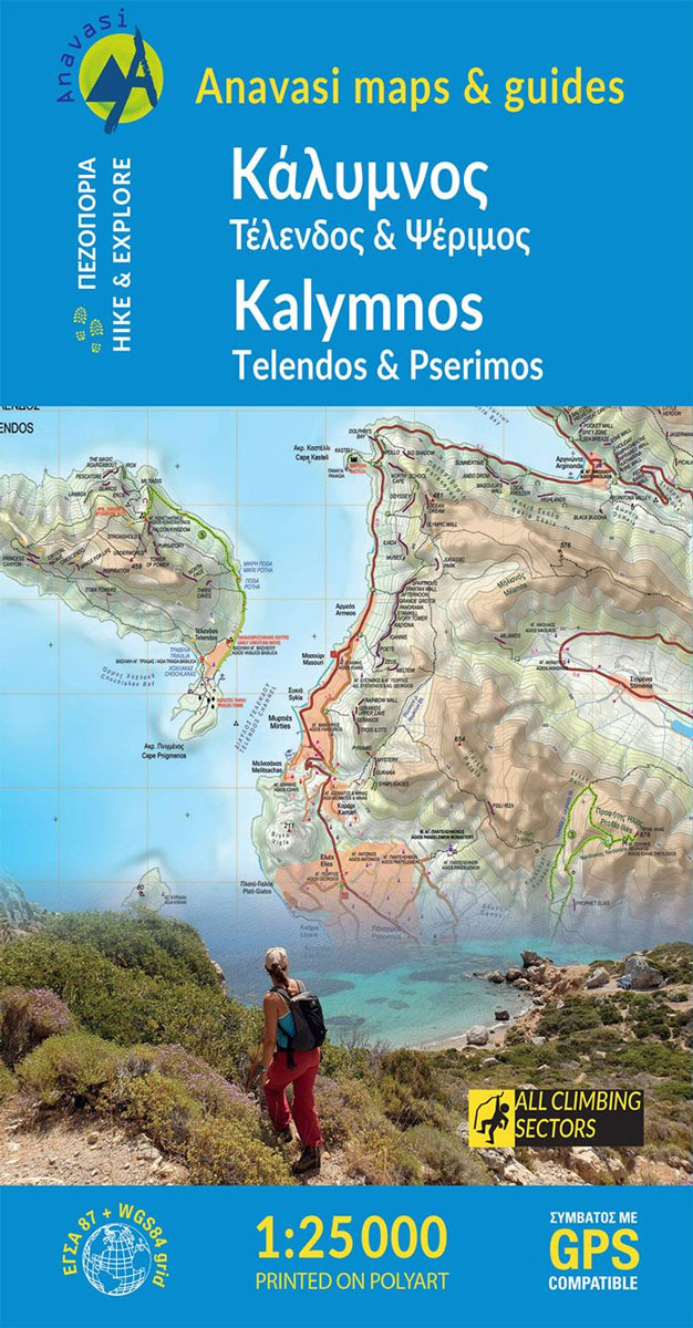
The Dodecanese island of Kalymnos / Kalimnos on a waterproof and tear-resistant, contoured and GPS compatible map at 1:25,000 from Anavasi, highlighting hiking trails and the islands numerous rock climbing and bouldering sites.Landscape is shown by contours at 20m with altitude colouring, hill shading and spot heights. The map indicates dirt roads in poor condition,
Rhodes & Symi Anavasi 10.38

Rhodes at 1:75,000 on a contoured, GPS compatible map from a wide coverage of the Greek islands by Anavasi, printed on light, waterproof and tear-resistant synthetic paper, with a street plan of a street plan of the Old Town, hiking suggestions, etc.The map has contours at 100m intervals with additional altitude colouring and plenty of
Messinia Anavasi 17
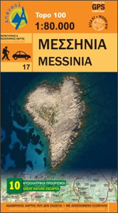
Messinia province on a waterproof and tear-resistant map at 1:80,000 in a series from Anavasi presenting selected popular areas of central mainland Greece and the Peloponnese on GPS compatible, detailed topographic road maps.The map has contours at 100m intervals, enhanced by relief shading and altitude colouring. Road network includes minor unsurfaced roads, indicating those in
Attica – Boeotia Anavasi 10
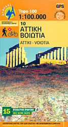
Attica and Boeotia at 1:100,000 in a series from Anavasi covering selected popular areas of central mainland Greece and the Peloponnese on GPS compatible, detailed topographic road maps printed on light, waterproof and tear-resistant synthetic paper. Coverage extends north well beyond Thebes/Thiva and Livadia to Atlanadi and includes Salamina and Aegina, but not parts of
Tinos Anavasi 10.20
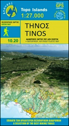
Tinos at 1:27,000 on a detailed, contoured, GPS compatible map from Anavasi with descriptions of 25 recommended hiking routes, printed on light, waterproof and tear-resistant synthetic paper. On one side is a map of the whole island with its topography shown by contours at 20 metres intervals with additional altitude colouring and graphics for different
South Pindos – Tzoumerka ‘“ Peristeri ‘“ Koziakas ‘“ Aygo Anavasi 3.2/4.2

South Pindos: Tzoumerka ‘“ Peristeri ‘“ Koziakas ‘“ Aygo area at 1:50,000 in a series of GPS compatible, waterproof and tear-resistant hiking maps from Anavasi. The map is double-sided: on one side are the peaks of Peristeri, Kakardhitsa and Tzoumerka with the map extending north to Metsovo; on the reverse coverage extend westwards beyond the
Corfu Orama Editions 302
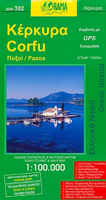
Corfu with Paxos at 1:100,000 on a road map from the Greek publishers Orama with a street plan of Corfu/Kerkyra Town, notes on the island’s resorts, beaches and other places of interest, an extensive list of tourist accommodation, etc.On one side is a map of Corfu, Paxos and Antipaxos, with the nearby islands of Mathraki,
Astypalea / Astypalaia Orama Editions 322
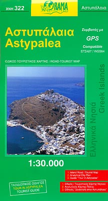
Astypalea (Astypalaia) on a detailed map at 1:30,000 from the Greek publishers Orama Editions, with a street plan of Astypalea Town, a list of hotels and private accommodation, and multilingual notes about the island.The map presents the island’s topography by contours at 50m intervals and altitude colouring. All place names are in both Greek and
Chalki Anavasi 10.33
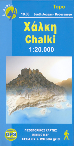
The island of Chalki at 1:20,000 on a waterproof and tear-resistant, contoured and GPS compatible map from Anavasi, with highlighting five recommended hiking routes and other useful tips, plus an enlargement showing in greater detail the Chorio archaeological site.On one side is a map of Chalki with contours at 20m intervals and hill shading to
Mt Elikon Anavasi 2.6
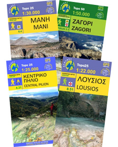
Mt Elikon in a series of waterproof and tear-resistant hiking maps at scales varying from 1:50,000 to 1:10,000, with a UTM grid for GPS users. Contour interval varies depending on the scale, on most maps it is 20m. Relief shading, spot heights, springs, seasonal streams and, in most titles, landscape/land-use variations, e.g. forests, orchards, or
Chania – Gavdos Anavasi 94
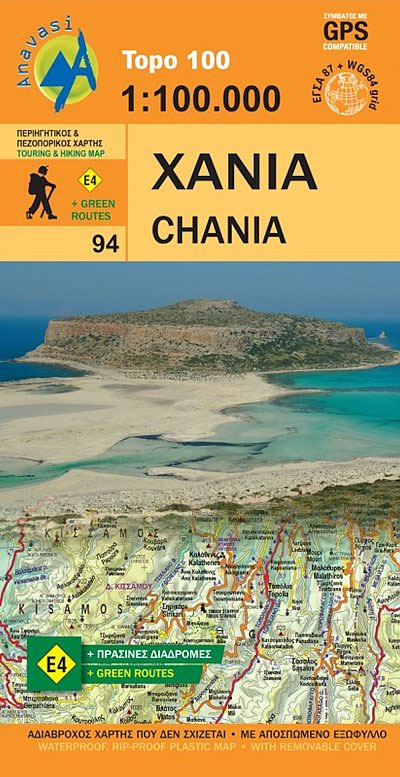
Western Crete: Chania from Anavasi in a series of three GPS compatible road maps with topographic base, printed on waterproof and tear-resistant paper. Contours at 100m intervals, relief shading and spot heights show the island’s topography, and the maps also indicate variations in vegetation: forest, shrubbery, orchards, and vineyards. Road network includes minor unsurfaced roads
Iraklion – Rethymnon – Central Crete Anavasi 93
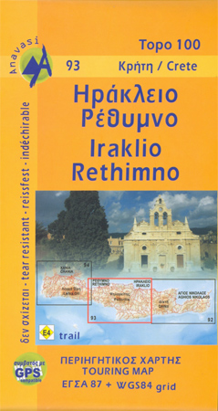
Central Crete: Rethymnon – Iraklion from Anavasi in a series of three GPS compatible road maps with topographic base, printed on waterproof and tear-resistant paper. Contours at 100m intervals, relief shading and spot heights show the island’s topography, and the maps also indicate variations in vegetation: forest, shrubbery, orchards, and vineyards. Road network includes minor
Kea / Tzia Anavasi 10.41
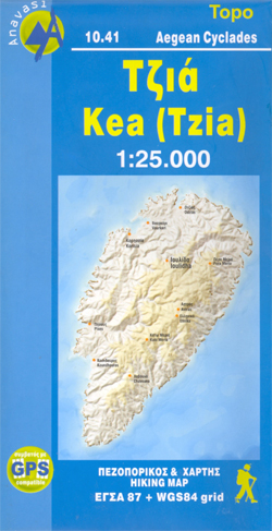
The Aegean island of Kea (Tzia) at 1:25,000 on a waterproof and tear-resistant, contoured and GPS compatible map from Anavasi, with nine recommended hiking trail and places of interest annotated with useful tips.Contours at 20m intervals and hill shading show the topography. The map indicates dirt roads in poor condition and shows location of petrol
Skyros Anavasi 10.14
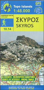
Skyros 1:48,000 with recommendations for six hiking trails on a detailed, contoured and GPS compatible map from Anavasi, printed on light, waterproof and tear-resistant synthetic paper. Topography is very clearly presented by contours at 20m intervals, with relief shading and altitude colouring. Road network indicates unsurfaced roads and sections in poor condition and shows driving
Sikinos Anavasi 10.29
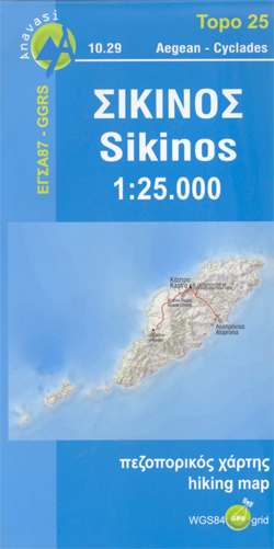
The Aegean island of Sikinos at 1:25,000 on a waterproof and tear-resistant, contoured and GPS compatible map from Anavasi, with five recommended hiking trail and places of interest annotated with useful tips.Contours at 20m intervals and hill shading show the topography. The map indicates dirt roads in poor condition and shows location of petrol stations
Samaria – Sougia – Paliochora Anavasi 11.13
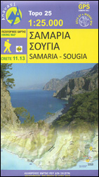
Samaria ‘“ Sougia area of the White Mountains on Crete on a waterproof and tear-resistant, GPS compatible and contoured hiking map at 1:25,000 from Anavasi, extending from the famous Gorge of Samaria westwards to Azogyres and Plemeniana, and north past Omalos and the peaks of Troili and Kaimeni Kafala.Topography is shown by contour lines at
Mani Anavasi 8.4

The Mani Peninsula at 1:50,000 on light, waterproof and tear-resistant, contoured and GPS compatible map from Anavasi, showing local footpaths including descriptions for eight specially selected routes, etc. The map is double-sided, dividing the peninsula north/south with a very generous overlap between the sides.Topography is vividly presented by contours at 20m intervals, plus relief shading
Lasithi – Eastern Crete Anavasi 92
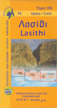
Eastern Crete: Lasithi from Anavasi in a series of three GPS compatible road maps with topographic base, printed on waterproof and tear-resistant paper. Contours at 100m intervals, relief shading and spot heights show the island’s topography, and the maps also indicate variations in vegetation: forest, shrubbery, orchards, and vineyards. Road network includes minor unsurfaced roads
Naxos & Small Cyclades Anavasi 10.28
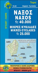
Naxos on light, a waterproof and tear-resistant, contoured and GPS compatible map at 1:40,000 from Anavasi, highlighting 10 recommended hiking trails, plus on the reverse coverage of six smaller nearby islands in the Cyclades: Donoussa, Irakleia, Schoinousa / Schinousa, Upper and Lower Koufonisi, plus Keros.On one side is the map of Naxos. Landscape is vividly
Psiloritis – Mt Ida Anavasi 11.14

Mount Idha (Psiloritis) area at 1:30,000 in a series of contoured, GPS compatible hiking maps of Crete from Anavasi, printed waterproof and tear-resistant paper and highlighting nine recommended hiking routes in the mountains. The map is double-sided, with each side covering the same area with identical mapping, but on one side overprinted local hiking trails


