Category Archives: Maps
Central Queensland – Hervey Bay to Mackay Hema
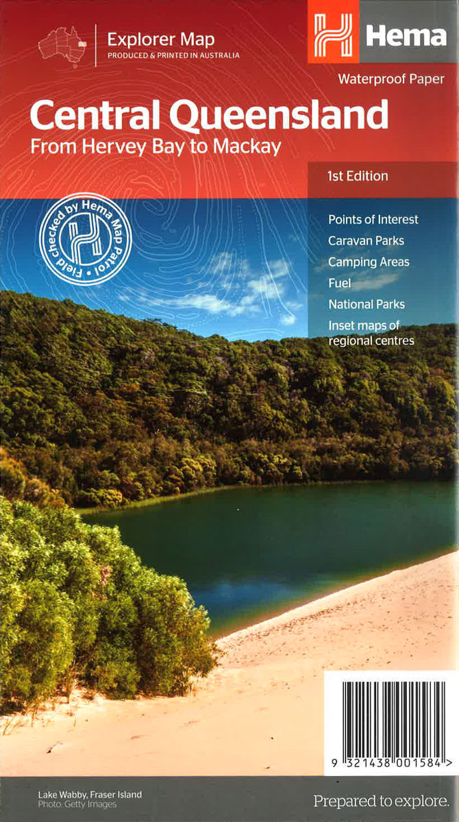
Central Queensland coast along the Great Barrier Reef Coast Marine Park, from Hervey Bay and Fraser Island in the south to Mackay in the north, on an indexed road map at 1:750,000 from Hema, with five enlargements of the region’s most visited area, a table of facilities in national parks, plus other tourist information.Coverage extends
Outback Queensland – Camooweal to Stanthorpe Hema Explorer Map
Outback Queensland on touring map at 1:1,1,500,000 from Hema highlighting 19 recommended tourist routes, with on the reverse eight panels showing the region’s most popular national parks in greater detail, plus a table with tourist facilities in 24 national parks, descriptions of places of interest, etc. The map covers the south-western part of Queensland, including
North East New South Wales – Coffs Harbour to Brisbane Hema Explorer Map
Hema’s regional road map of North East New South Wales covering at 1:375,000 the coastal region from south of Coffs Harbour northwards across the state border to Brisbane, and extending inland across the Great Dividing Range to beyond the New England Highway; the reverse side has extensive tourist information.Topography is shown by relief shading with
Northern Thailand
Northern Thailand at 1:550,000 in a series of regional road maps of Thailand from the Bangkok based ThinkNet, with street plans of Mae Hong Son, Pai, Chiang Rai, Nan, Mae Sot, Phitsanulok, Phetchanbun and Mae Sot. Both the main map and the city plans have very extensive bilingual overprint highlighting not only various places of
Flinders Ranges Hema Atlas & Guide PAPERBACK
Flinders Ranges Atlas & Guide (1st Edition) – this first edition of Hema’s Flinders Ranges Atlas & Guide features Hema’s distinctive and informative maps, all of which have been field checked by Hema’s Map Patrol to ensure the best possible accuracy with the latest mapping data.
North-Eastern Thailand
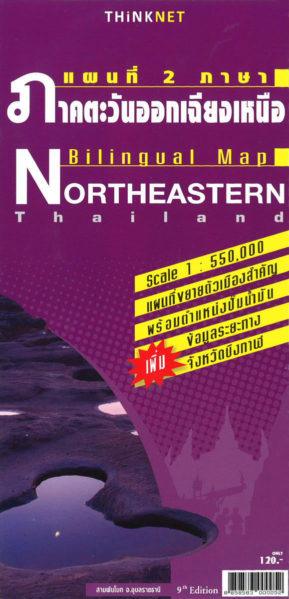
North-Eastern Thailand at 1:550,000 in a series of regional road maps of Thailand from the Bangkok based ThinkNet, with street plans of Udon Thani, Ubon Ratchathani, Khon Kaen and Nakhon Ratchasima. All information is bilingual, shown in Thai and English.Road and rail networks are shown on a base with colouring indicating the country’s administrative provinces.
High Country Victoria – North West Hema Explorer Map
Part of a series of 4 waterproof maps of the Victorian High Country by Hema at 1:100,000.
Central and Eastern Thailand
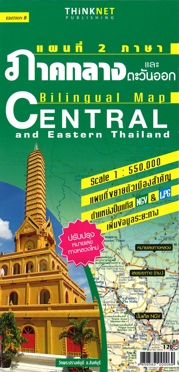
Central and Eastern Thailand at 1:550,000 in a series of regional road maps of Thailand from the Bangkok based ThinkNet. This title covers Bangkok with the country’s central and south-eastern provinces, plus the top part of the panhandle. An enlargement at 1:166,000 presents the environs of Bangkok within the city’s Outer Ring Road, and street
High Country Victoria – North East Hema Explorer Map
Part of a series of 4 waterproof maps of the Victorian High Country by Hema at 1:100,000.
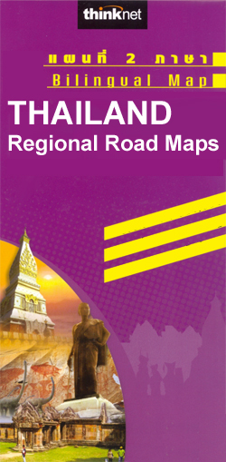
Southern Thailand
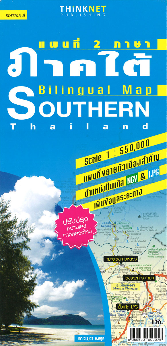
Southern Thailand at 1:550,000 in a series of regional road maps of Thailand from the Bangkok based ThinkNet, with an enlargement showing Ko Samui Island in greater detail. Also provided ar, plus plans of Krabi, Phangnga, and Hat Yai – Songkhla. All information is bilingual, shown in Thai and English.The map covers southern Thailand from
Bangkok Walks Street Plan
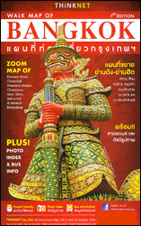
Street plan of Bangkok from the Thai publishers Thinknet combining an overview street map of the city’s central districts and seven panels with enlargements of the city’s most interesting areas highlighting shopping streets and naming important buildings and numeours facilities including hotels, restaurants and bars, etc.The overview map shows main and selected smaller streets, BTS
Lower Austria

One of the titles in a series of provincial topographic maps derived from generalising the cartography of the 1:50,000 survey. Topography is shown by contours at 100m intervals, spot heights, hill-shading and graphic relief. Colours and graphics distinguish landscape types e.g. forests, vineyards, swamps. The attractive, finely-drawn detail includes minor roads, tracks, railways, chairlifts, water
Burgenland
One of the titles in a series of provincial topographic maps derived from generalising the cartography of the 1:50,000 survey. Topography is shown by contours at 100m intervals, spot heights, hill-shading and graphic relief. Colours and graphics distinguish landscape types e.g. forests, vineyards, swamps. The attractive, finely-drawn detail includes minor roads, tracks, railways, chairlifts, water
Vorarlberg
One of the titles in a series of provincial topographic maps derived from generalising the cartography of the 1:50,000 survey. Topography is shown by contours at 100m intervals, spot heights, hill-shading and graphic relief. Colours and graphics distinguish landscape types e.g. forests, vineyards, swamps. The attractive, finely-drawn detail includes minor roads, tracks, railways, chairlifts, water
Sudetes Central ExpressMap Tourist Map
Central Sudeten Mountains in a series covering Poland’s best hiking areas on waterproof and tear-resistant, laminated maps, specially designed to withstand repeated re-folding and even the worst weather conditions. Each map is double-sided and has clear, well presented cartography with a contoured base (20m interval) and, where appropriate, relief shading, graphic relief in rocky areas,
Go-To-Guide for 4WDs Hema Guide
Go-To-Guide for 4WDs (1st Edition) – your comprehensive guide to four-wheel driving, including expert advice, planning and preparation, maintenance and equipment, inspiring destinations and tracks. Everything you need to know as you leave the black top for rugged roads.
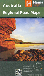
Western Australia Hema
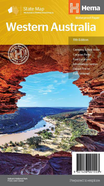
Western Australia at 1:2,500,000 on an indexed road map from Hema with prominent highlighting of its protected areas. On the reverse is a street plan of central Perth, a throughroad map of the suburbs of Perth and Frementle, seven enlargements of popular regions, plus a table of facilities in the national parks and a list
Valverde 25K Hierro CNIG Topographic Survey Map No. 1105-II

Topographic coverage of the Canary Islands at 1:25,000 published by the Instituto Geogrรกfico Nacional ‘“ Centro Nacional de Informaciรณn Geografica, the country’s civilian survey organization. The maps have contours at 10m intervals and colouring and/or graphics to show different types of vegetation or land use. Boundaries of national parks and other protected areas are marked.
California, Mexico & Florida 1616
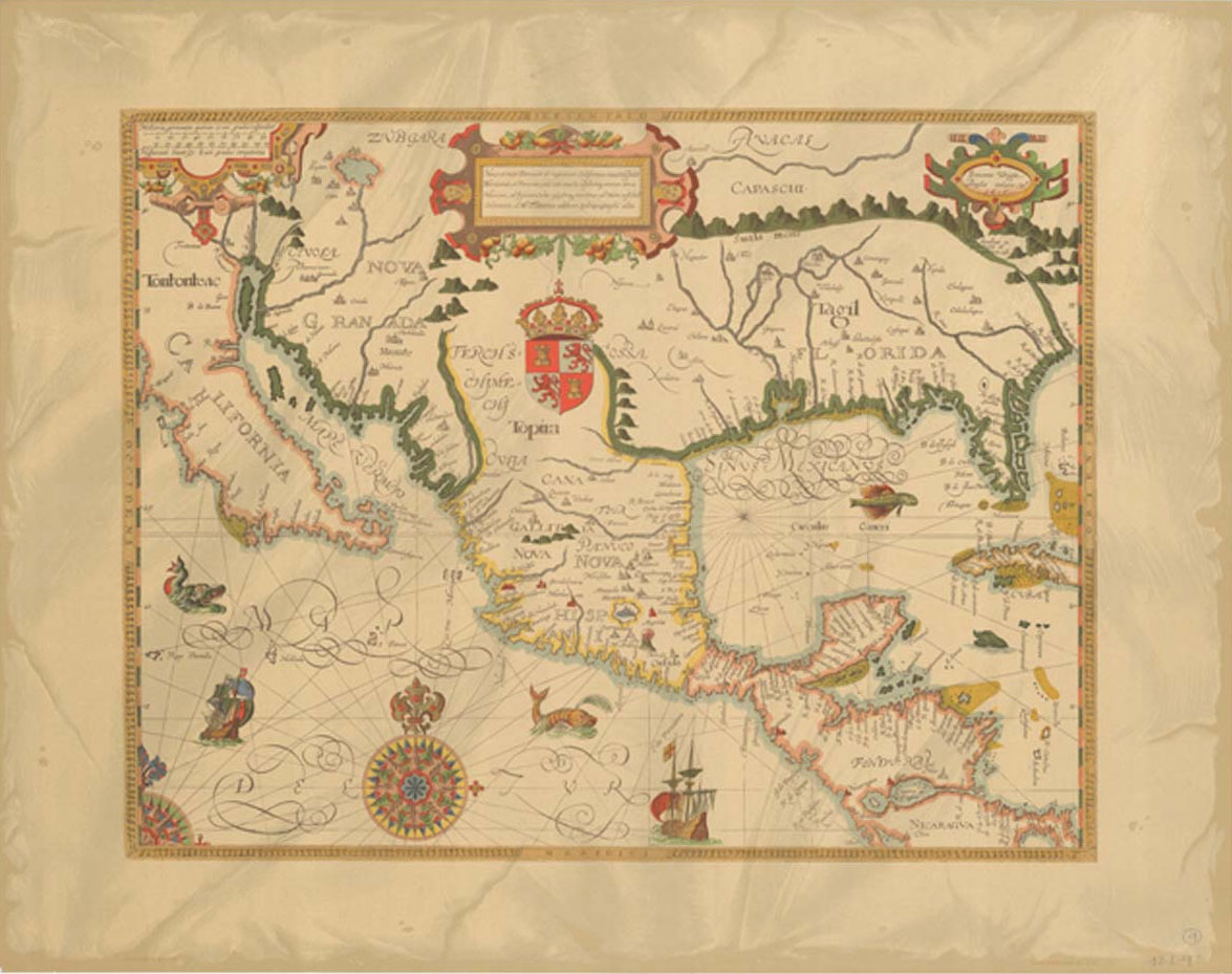
Reproduction of a map drawn by Gabriel Tatton and engraved by Benjamin Wright in 1616. Shows Spain`s territory in central America from the Baja Peninsula to the Caribbean.
Sabinosa 25K Hierro CNIG Topographic Survey Map No. 1105-III
Topographic coverage of the Canary Islands at 1:25,000 published by the Instituto Geogrรกfico Nacional ‘“ Centro Nacional de Informaciรณn Geografica, the country’s civilian survey organization. The maps have contours at 10m intervals and colouring and/or graphics to show different types of vegetation or land use. Boundaries of national parks and other protected areas are marked.