Category Archives: Maps
High Country Victoria – South East Hema Explorer Map
Part of a series of 4 waterproof maps of the Victorian High Country by Hema at 1:100,000.
Whangaparaoa and Orewa Pocket Map

Whangaparaoa and Orewa region in a series of maps covering various districts of New Zealand, with each title combining a detailed road map with street plans of local towns, all with road and street indexes. The maps are published in two formats: handy Pocket Maps or Pathfinders with, as the publishers put it ‘Larger print
High Country Victoria – South West Hema Explorer Map
Part of a series of 4 waterproof maps of the Victorian High Country by Hema at 1:100,000.
Auckland and 25 Regional Towns Kiwimaps Complete Street Directory
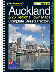
Auckland and 25 Regional Towns Complete Street Directory: comprehensive, indexed, 160-page, spiral-bound street directory with all the sections clearly colour-coded for easy reference. Scales vary, with the main part of the atlas at 1:25,000, Northern Towns at 1:27,500 or 1:30,000 and West Auckland at 1:75.000. An enlargement shows the central area of Auckland at a
South East Queensland – featuring Landcruiser Mountain Park Hema Explorer Map
South East Queensland on an indexed touring map from Hema at 1:500,000, with on the reverse a more detailed map of the Brisbane region including the Gold Coast and the Sunshine Coast, a detailed street plans of Brisbane and the Gold Coast, plus diagrams of Brisbane’s TransLink and ferry networks.The main map extends along the
North Island – Northern & Central Kiwimaps
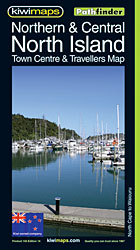
North Island Northern and Central in a series of double-sided, indexed touring maps with plenty of tourist information and street plans of town centres. The maps highlight main highways and regional roads, but also show small local roads and selected 4WD tracks. Railways and popular hiking tracks are also shown. National parks and forests are
Go-To-Guide for Motorhomes Hema Guide
Go-To-Guide for Motorhomes (1st Edition) – your comprehensive guide to motorhomes, including expert advice, planning and preparation, maintenance and equipment and inspiring destinations. Everything you need to know as you leave for the open road.
New Plymouth and Taranaki Towns Pocket Map
New Plymouth and Taranaki region in a series of maps covering various districts of New Zealand, with each title combining a detailed road map with street plans of local towns, all with road and street indexes. The maps are published in two formats: handy Pocket Maps or Pathfinders with, as the publishers put it ‘Larger
High Country Victoria Hema Explorer 4 Map Pack
Part of a series of 4 waterproof maps of the Victorian High Country by Hema at 1:100,000.
North Queensland – from Cape York to Mackay Hema Explorer Map
Northern Queensland, including the Great Barrier Reef Coast Marine Park, on an indexed road map from Hema with recommendations for 14 tourist drives, enlargements of the Whitsunday Coast and the Townsville – Cairns – Cooktown coast, plus extensive tourist information.The main map presents at 1:1,750,000 Queensland northwards of Mackay and the Flinders Highway linking Townsville
New Zealand Kiwimaps Travel & Touring Map
New Zealand at 1:1,700,000 from Kiwimaps on a handy size, double-sided map with street plans of city centres in main towns. North and South Island are presented separately and accompanied by a distance table, a map showing driving times between various locations, plus the relevant street plans.The road network highlights state highways and indicates tourist
Wellington Complete Metromap
Street plan of the Wellington conurbation, including Johnsonville, the Hutt Valley, Porirua and the Kapiti Coast, with enlargements for city centres and the Picton Ferry Terminal, plus a comprehensive street index. The main plan covers the whole area at 1:35,000, showing names of various suburbs and clearly indicating main traffic arteries. One way streets, car
Auckland Complete
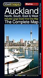
Street plan of the whole of Auckland with enlargements for the city centre, the international airport, and the centres of Takapuna, Manaku, Henderson and Pukekohe, plus a comprehensive street index. The main plan covers the whole area at 1:40,000, showing names of various suburbs and clearly indicating exits from the city onto various tourist routes.
Wellington City and District Pathfinder

Wellington city and district in a series of maps covering various districts of New Zealand, with each title combining a detailed road map with street plans of local towns, all with road and street indexes. The maps are published in two formats: handy Pocket Maps or Pathfinders with, as the publishers put it ‘Larger print
New Zealand Kiwimaps Pathfinder Road Map
New Zealand at 1:7,000,000 from Kiwimaps on a single-sided, indexed map with enlargements of environs of main cities, traveling times, distance tables, and indexes for national parks, mountains, rivers, lakes, etc. as well as towns and villages. The road network highlights state highways and indicates tourist routes such as the Pacific Coast Highway, Thermal Explorer
Christchurch, Ashburton, Rangiora & 16 Canterbury Towns Kiwimaps
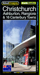
Christchurch, Ashburton, Rangiora and 16 Canterbury Towns on indexed streetplans, with enlargements for the city centre of Christchurch, the city’s airport and the University of Canterbury campus. Coverage of Christchurch itself indicates the Red Zone ‘“ the area with restricted access following the 2010 and 2011 earthquakes.On one side is a street plan of Christchurch
Hamilton, Cambridge, Te Awamutu Pocket Map

Hamilton, Cambridge and district in a series of maps covering various districts of New Zealand, with each title combining a detailed road map with street plans of local towns, all with road and street indexes. The maps are published in two formats: handy Pocket Maps or Pathfinders with, as the publishers put it ‘Larger print
Dunedin, Mosgiel, Oamaru and Otago Towns Pocket Map
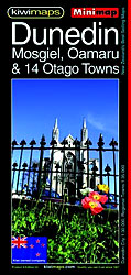
Dunedin and the Otago Paninsula in a series of maps covering various districts of New Zealand, with each title combining a detailed road map with street plans of local towns, all with road and street indexes. The maps are published in two formats: handy Pocket Maps or Pathfinders with, as the publishers put it ‘Larger
North Island – New Zealand Kiwimaps
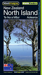
Indexed touring map of the North Island from New Zealand’s leading map publishers, Kiwimaps. Topography is shown by relief shading, with names of main mountain ranges and peaks. National parks and other protected areas are marked. Road network includes unsealed local roads. Main sightseeing highways are highlighted by small icons: Pacific Coast, Thermal Explorer, Twin
Central and Eastern Thailand
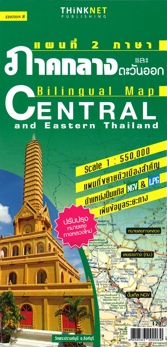
Central and Eastern Thailand at 1:550,000 in a series of regional road maps of Thailand from the Bangkok based ThinkNet. This title covers Bangkok with the country’s central and south-eastern provinces, plus the top part of the panhandle. An enlargement at 1:166,000 presents the environs of Bangkok within the city’s Outer Ring Road, and street