Category Archives: Maps
Taygetos – North Taygetos Anavasi 8.1
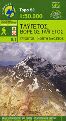
The Taygetos range between Sparta and Kalamata at 1:50,000 on a contoured, GPS compatible map from Anavasi with on the reverse a special map highlighting the region’s numerous hiking trails, including the course of the E4 European long-distance path.On one side is the main map of the area with excellent presentation of its topography by
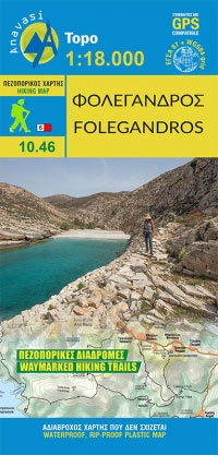
Folegandros Anavasi 10.46
Frangokastelo – Plakias Anavasi 11.17
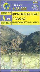
The Frangokastelo ‘“ Plakias area on the southern coast of Crete at 1:25,000 in a series of contoured, GPS compatible hiking maps of Crete from Anavasi, printed waterproof and tear-resistant paper. Annotations provide useful hints for walkers. Coverage extends from Imbros Gorge in the west to Plakias in the east.Topography is shown by contour lines
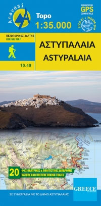
Astypalaia Anavasi 10.49
Evia / Euboea – Skyros Anavasi 04
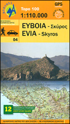
Evia (Euboea) with Skyros at 1:110,000 on a double-sided, contoured and GPS compatible, topographic road map from Anavasi printed on light, waterproof and tear-resistant synthetic paper. The map divides Evia north/south, with coverage on the southern half extending to the outskirts of Athens; the northern half extends west to Livadia. Contours at 100m intervals, enhanced
Cyclades – Argosaronic Anavasi Regional Map R1
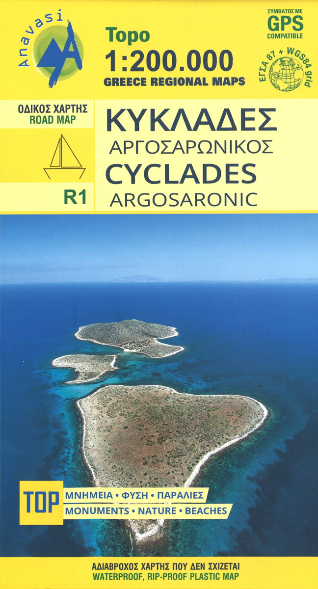
Cyclades – Argosaronic Islands is new map covering the areas of Attica with the Argosaronic islands of Salamina, Aegina, Ydra and Poros and all the Cyclades islands, printed on 2 sides with overlap. Place names are in both Greek and Latin alphabet.Altitude colouring with relief shading and plenty if names of mountain ranges and peaks
Prespa – Vitsi – Voras Anavasi 6.2
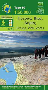
Prespa – Vitsi ‘“ Voras area of northern Greece at 1:50,000 on a light, waterproof and tear-resistant, GPS compatible, contoured map from Anavasi, with recommendations for three hiking trails and notes on the E4 and E6 cross-European trails. The map is double-sided; coverage in the west starts from the Prespa Lake on the border with
Mt Dikti – Mt Selena Anavasi 11.15
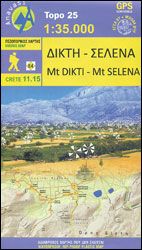
Mt Dikti – Mt Selena area of eastern Crete at 1:35,000 on a light, waterproof and tear-resistant, contoured and GPS compatible map from Anavasi, showing local paths including a section of the E4 European long-distance trail. The area is presented on two different maps. On one side is a topographic map with contours at 20m
Athens Anavasi Pocket Map
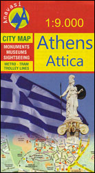
Central Athens on a handy size street plan from Anavasi, highlighting Locations of the city’s 102 important archaeological sites, museums, and other important buildings, plus on the reverse a road map of the environs including the port at Piraeus and the international airport.Coverage extends from south of the Acropolis and the Mousson Hill to beyond
Central Greece – Thessaly – Epirus Anavasi Regional Map R3
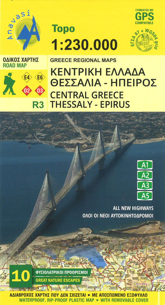
Central Greece at 1:250,000 on a light, waterproof and tear resistant indexed road map from Anavasi, highlighting ten areas of particular natural beauty. Coverage includes the most popular hiking regions of the Pindos Mountains, Mount Olympus and Mount Parnassos, extending from Thebes (Thiva) in the south to Kozani and Katerini. Place names are in both
Macedonia Anavasi Regional Map R4
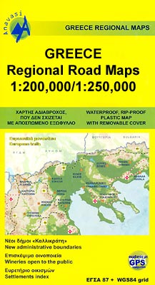
The Greek Region of Macedonia in a series of double-sided, GPS compatible regional road maps at 1:250,000 from Anavasi printed on light, waterproof and tear-resistant plastic paper. The maps can be easily removed from their protective covers and folded or rolled into smaller size without any damage.Road information indicates minor unsurfaced roads and dirt tracks
Greece Anavasi Road Map
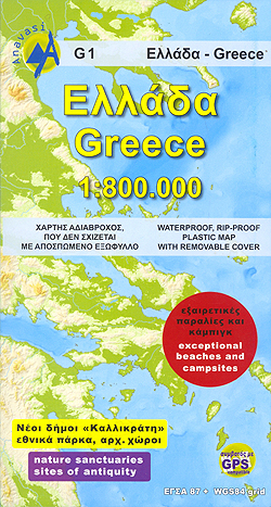
Greece at 1:800,000 on a double-sided, waterproof and tear-resistant map from Anavasi, including a separate index booklet providing lists of protected areas, archaeological sites, ski resorts, etc., all in both Greek and Latin alphabets.The map divides the country north/south. On one side is the mainland with northern Aegean and the Peloponnese just short of Sparta;
Cephalonia / Kefalonia – Ithaca Anavasi 9.3
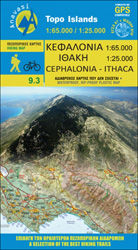
Kefalonia at 1:65,000 with Ithaca at 1:25,000 on a contoured, GPS compatible double-sided map from Anavasi, with recommended hiking trails on both islands and printed on light, waterproof and tear-resistant plastic paper. On one side are both islands at 1:65,000, with an enlargement of Ithaca at 1:25,000 shown on the reverse. Topography is excellently presented
Gramos – Smolikas – Voio – Vasilitsa Anavasi 3.3
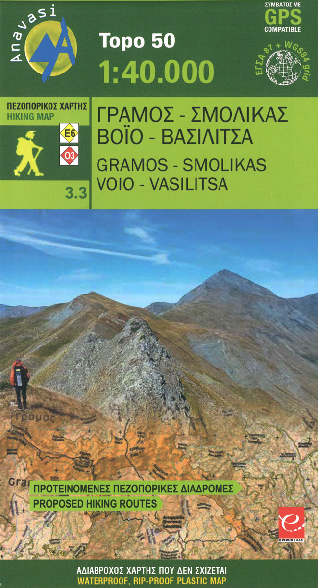
North of the Zagori region up to the Albanian border, the mountainous landscape of alternating peaks and ridges was until recently an almost inaccessible region. The large riverbed of Sarandaporos delilimits Mts Gramos, Smolikas and Voio. Mt Vasilitsa became recently well known thanks to its vast ski resort.
Spetses Anavasi 10.30
Spetses at 1: 12,500 on a contoured, GPS compatible map from a wide coverage of the Greek islands by Anavasi, printed on light, waterproof and tear-resistant plastic paper, with a street plan of Spetses Town.The map has contours at 4m intervals with additional altitude colouring. The network of roads and paths indicates earth roads, dirt
Kalymnos – Telendos & Pserimos Anavasi 10.32
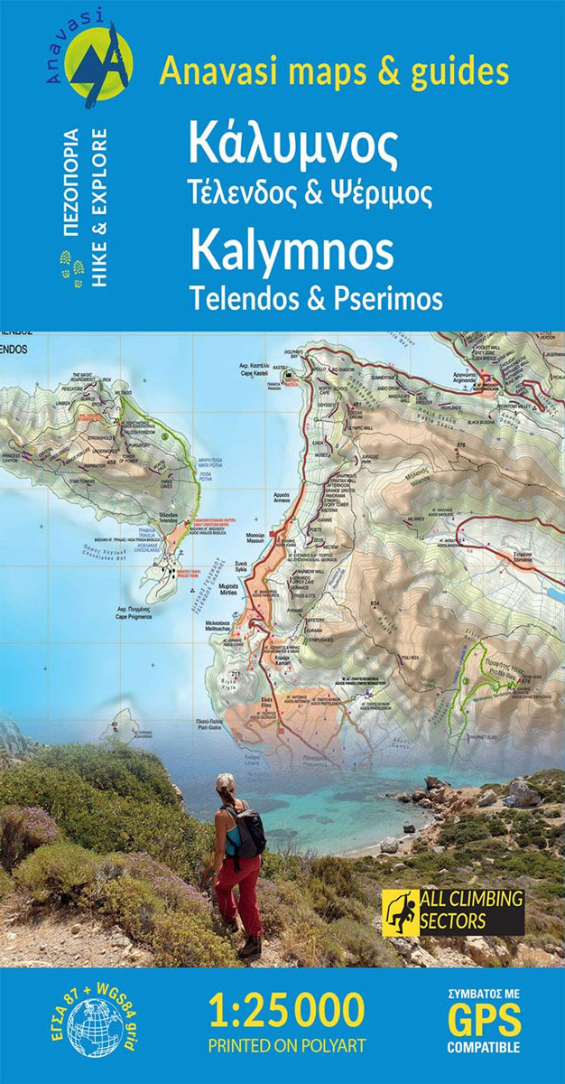
The Dodecanese island of Kalymnos / Kalimnos on a waterproof and tear-resistant, contoured and GPS compatible map at 1:25,000 from Anavasi, highlighting hiking trails and the islands numerous rock climbing and bouldering sites.Landscape is shown by contours at 20m with altitude colouring, hill shading and spot heights. The map indicates dirt roads in poor condition,
Rhodes & Symi Anavasi 10.38

Rhodes at 1:75,000 on a contoured, GPS compatible map from a wide coverage of the Greek islands by Anavasi, printed on light, waterproof and tear-resistant synthetic paper, with a street plan of a street plan of the Old Town, hiking suggestions, etc.The map has contours at 100m intervals with additional altitude colouring and plenty of
Messinia Anavasi 17
Messinia province on a waterproof and tear-resistant map at 1:80,000 in a series from Anavasi presenting selected popular areas of central mainland Greece and the Peloponnese on GPS compatible, detailed topographic road maps.The map has contours at 100m intervals, enhanced by relief shading and altitude colouring. Road network includes minor unsurfaced roads, indicating those in
Attica – Boeotia Anavasi 10
Attica and Boeotia at 1:100,000 in a series from Anavasi covering selected popular areas of central mainland Greece and the Peloponnese on GPS compatible, detailed topographic road maps printed on light, waterproof and tear-resistant synthetic paper. Coverage extends north well beyond Thebes/Thiva and Livadia to Atlanadi and includes Salamina and Aegina, but not parts of


