Category Archives: Maps
South Pembrokeshire OS Explorer Map OL36 (paper)

The southern coast of Pembrokeshire on a detailed topographic and GPS compatible map OL36, paper version, from the Ordnance Survey’s 1:25,000 Explorer series. Coverage includes Pembrokeshire Coast National Park, Haverforwest, Milford haven, Arberth, Tenby, Pembroke, Skomer Island, Caldey Island, the Pembrokeshire Coast Path National Trail which is also part of the Wales Coast Path, etc.MOBILE
Exmoor – Barnstaple, Lynton, Minehead & Dulverton OS Explorer Map OL9 (paper)
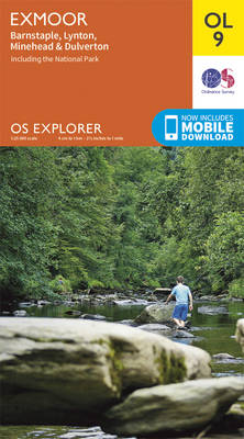
The Exmoor National Park on a detailed topographic and GPS compatible map OL9, paper version, from the Ordnance Survey’s 1:25,000 Explorer series. Coverage extends westwards to Ilfracombe and Barnstaple and includes Minehead ‘“ the start of the South West Coast Path National Rrail, Lynton, Dulverton, sections of the Two Moors Way, Tarka Way, etc.MOBILE DOWNLOADS:
Arundel & Pulborough – Worthing & Bognor Regis OS Explorer Map OL10 (paper)
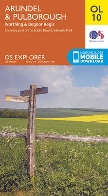
Arundel and Pulborough area of Sussex on a detailed topographic and GPS compatible map OL10, paper version, from the Ordnance Survey’s 1:25,000 Explorer series. Coverage along the coast extends from east of Worthing across Littlehampton to west of Bognor Regis and inland to Pulborough, and includes part of the South Downs National Park with a
Brecon Beacons Western & Central OS Explorer Map OL12 (paper)

The Western and central areas of the Brecon Beacons National Park on a detailed topographic and GPS compatible map OL12, paper version, from the Ordnance Survey’s 1:25,000 Explorer series. Coverage extends from Merthyr Tydfil in the south-east to Llandovery in the north-west and highlights include the Black Mountain, Fforest Fawr, the Beacons Reservoir, Brecon, Trecastle,
Brecon Beacons Eastern OS Explorer Map OL13 (paper)
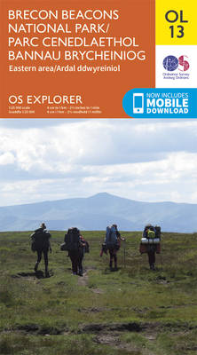
The eastern part of the Brecon Beacons National Park on a detailed topographic and GPS compatible map OL13, paper version, from the Ordnance Survey’s 1:25,000 Explorer series. Coverage includes Tredegar, Ebbw Vale, Abergavenny, Hay-on-Wye, the Black Mountains, Llangorse Lake, Sugar Loaf, Black Hill, Hay Bluff, sections of the Offa’s Dyke National Trail, the Usk Valley
Purbeck & South Dorset – Poole, Dorchester – Weymouth & Swanage OS Explorer Map OL15 (paper)

Purbeck and the southern part of Dorset on a detailed topographic and GPS compatible map OL15, paper version, from the Ordnance Survey’s 1:25,000 Explorer series. Coverage extends from Poole and Swanage in the east to Bridport in the west, and includes Dorchester, Tolpuddle, Bere Regis, Wareham, Weymouth, Chesil Beach, Portland Bill, the final section of
Cheviot Hills – Jedburgh & Wooler OS Explorer Map OL16 (paper)
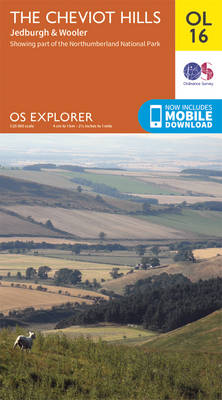
The Cheviot Hills on a detailed topographic and GPS compatible map OL16, paper version, from the Ordnance Survey’s 1:25,000 Explorer series. Coverage includes Jedburgh, Woolmer, part of the Northumberland National Park, the peaks of The Cheviot, Corby Pike, Cold Law, Scrathy Holes and Windy Gyle, Catcleugh Reservoir, sections of the Pennine Way National Trail, St
South Devon – Brixham to Newton Ferrers OS Explorer Map OL20 (paper)
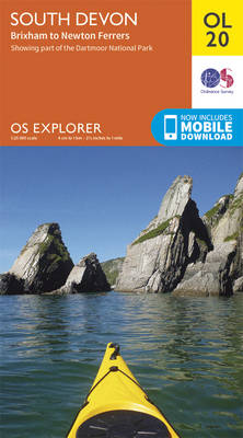
The coast of South Devon on a detailed topographic and GPS compatible map OL20, paper version, from the Ordnance Survey’s 1:25,000 Explorer series. The map extends westwards beyond Newton Ferrers to Plymouth, eastwards beyond Brixham to Torquay, and inland to include part of the Dartmoor National Park. Coverage includes Paignton, Totness, Dartmouth, Salcombe, Ivybridge, sections
The Three Peaks Challenge – Scafell Pike OS Explorer Map
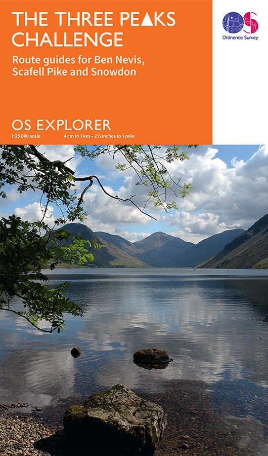
The mountains of the Three Peaks Challenge – Ben Nevis, Scafell Pike and Snowdon ‘“ on extracts from the Ordnance Survey 1:25,000 Explorer series, with enlargements of the summits, extracts from regional mapping to show road access, and an overview road map linking the three peaks.The area around each peak is presented on a 36x36cm
City Cycling

Bicycling in cities is booming, for many reasons: health and environmental benefits, time and cost savings, more and better bike lanes and paths, innovative bike sharing programs, and the sheer fun of riding. City Cycling offers a guide to this urban cycling renaissance, with the goal of promoting cycling as sustainable urban transportation available to
The Three Peaks Challenge – Snowdon OS Explorer Map
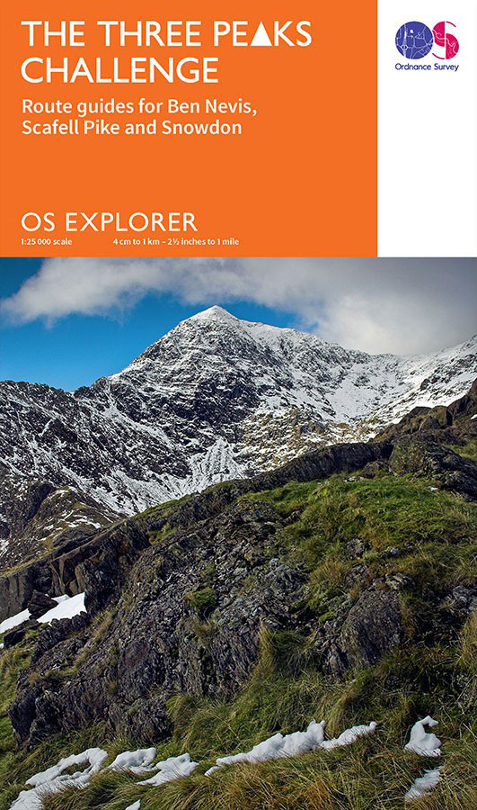
The mountains of the Three Peaks Challenge – Ben Nevis, Scafell Pike and Snowdon ‘“ on extracts from the Ordnance Survey 1:25,000 Explorer series, with enlargements of the summits, extracts from regional mapping to show road access, and an overview road map linking the three peaks.The area around each peak is presented on a 36x36cm
Destination India

`A girl`s guide to survival and adventure.` – Sarah Morgan, bestselling author of Sleepless in Manhattan Let yourself go…Starting the Lonely hearts Travel Club was supposed to be the second chance that gave Georgia Green back her life. She thought it would be just like travelling, but the reality is far from rosy as she
Map of GB National Parks: 70th Anniversary Poster
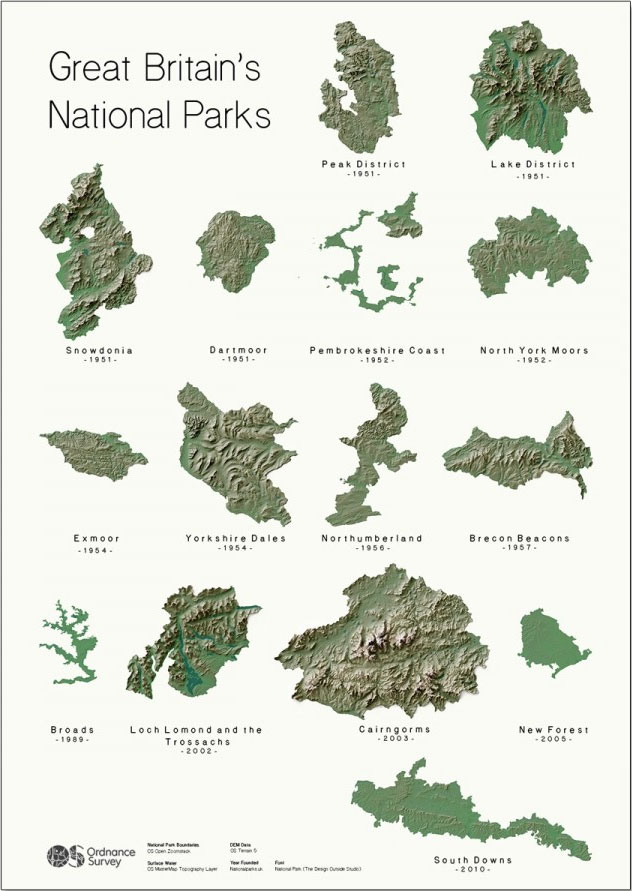
Poster of all Great Britain`s National Parks.Shows the relative sizes, physical nature and shape and date of designation.
Our Korean Kitchen

OUR KOREAN KITCHEN is a celebration of the food, culture and flavours of Korea, a cuisine that is fast becoming the biggest trend in the culinary world. Capturing this movement, it introduces us to Korean food through a collection of classic and well-loved dishes. Beautifully illustrated throughout, the book will explore the secrets of authentic
Hairy Bikers` Asian Adventure: Over 100 Amazing Recipes from the Kitchens of Asia to Cook at Home

This TV tie-in cookbook to THE HAIRY BIKERS` ASIAN ADVENTURE BBC series, airing in 2014, follows the boys` dream trip – a journey through Asia to discover the secrets of some of the world`s most inspiring cuisines. The boys travelled to Hong Kong, Japan, Thailand and Korea, sampling and preparing every kind of food they
British Isles Communication OS Wall Map LAMINATED
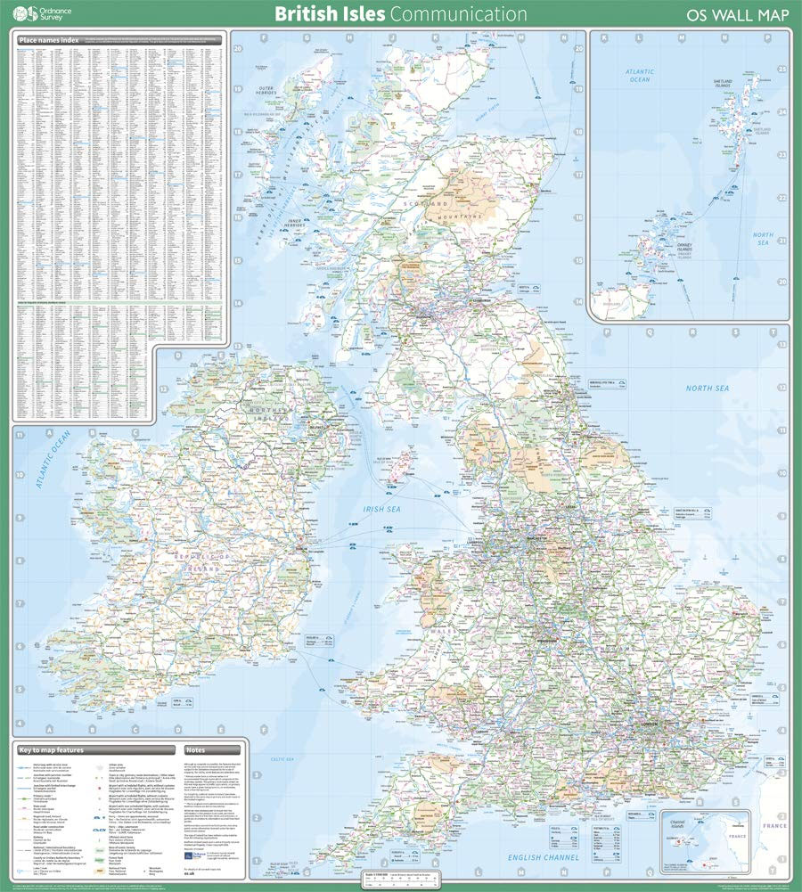
This map shows the British Isles, with all the major road, rail and sea connections. It is supplied flat, rolled in a tube and is ideal for schools, students or just for decoration. It includes an index of place names. This map is gloss coated, so can be written on with suitable dry-wipe pens.
Ganges: The Many Pasts of an Indian River
A sweeping, interdisciplinary history of the world`s third-largest river, a potent symbol across South Asia and the Hindu diaspora Originating in the Himalayas and flowing into the Bay of Bengal, the Ganges is India`s most important and sacred river. In this unprecedented work, historian Sudipta Sen tells the story of the Ganges, from the communities
Stumbling Giant: The Threats to China`s Future

While dozens of recent books and articles have predicted the near-certainty of China`s rise to global supremacy, this book boldly counters such widely-held assumptions. Timothy Beardson brings to light the daunting array of challenges that today confront China, as well as the inadequacy of the responses. He presents bold policy prescriptions addressing these challenges and
The South China Sea: The Struggle for Power in Asia
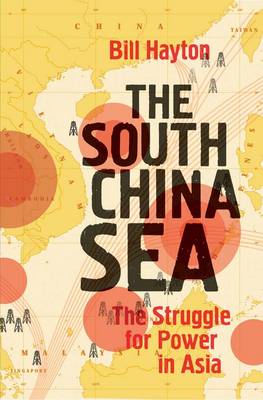
China`s rise has upset the global balance of power, and the first place to feel the strain is Beijing`s back yard: the South China Sea. For decades tensions have smoldered in the region, but today the threat of a direct confrontation among superpowers grows ever more likely. This important book is the first to make