Category Archives: Maps
Badenoch & Upper Strathspey – Kingussie & Newtonmore OS Explorer Map OL56 (paper)
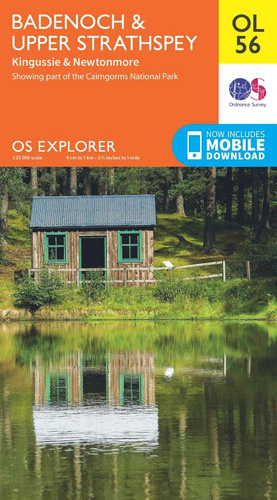
Badenoch and Upper Strathspey area of the Cairmgorms National Park on a detailed topographic and GPS compatible map OL56, paper version, from the Ordnance Survey’s 1:25,000 Explorer series. Coverage includes Kingussie, Newtonmore, three Munro peaks including A’ Chailleach, Monadhliath Mountains, etc.MOBILE DOWNLOADS: this title and all the other OS Explorer maps include a code for
Loch Lomond North – Tyndrum, Crianlarich & Arrochar OS Explorer Map OL39 (paper)
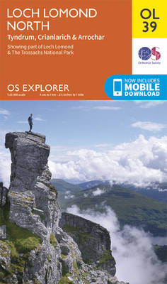
The northern part of Loch Lomond on a detailed topographic and GPS compatible map OL39, paper version, from the Ordnance Survey’s 1:25,000 Explorer series. Coverage includes a section of the Loch Lomond and The Trossachs National Park with parts of the Queen Elizabeth Forest Park and the Argyll Forest Park, 14 Munro peaks including An
Cairn Gorm & Aviemore – Loch Morlich OS Explorer Map OL57 (paper)
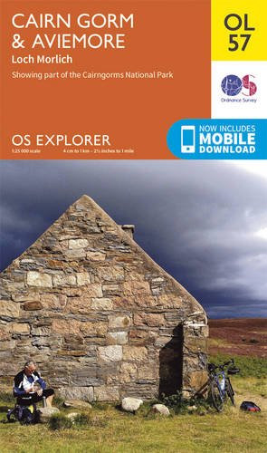
Cairn Gorm and Aviemore area of the Cairmgorms National Park on a detailed topographic and GPS compatible map OL57, paper version, from the Ordnance Survey’s 1:25,000 Explorer series. Coverage includes the Glenmore Forest Park, Loch Morlich, 16 Munro peaks including Carin Gorm, Bynack More and The Devil’s Point, the southern section of the Speyside Way,
Forest of Bowland & Ribblesdale – Pendle Hill, Clitheroe & Settle OS Explorer Map OL41 (paper)

The Forest of Bowland and Ribblesdale on a detailed topographic and GPS compatible map OL41, paper version, from the Ordnance Survey’s 1:25,000 Explorer series. Coverage extends from Lancaster in the west to Settle and Barnoldswick, and includes Barrowford, Clitheroe, Catterall, Hornby, Stocks Reservoir, sections of the Pennine Bridleway National Trail, the Dales High Way, Pendle
Braemar, Tomintoul & Glen Avon OS Explorer Map OL58 (paper)
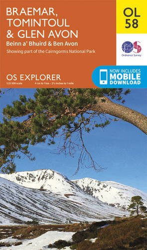
Braemar, Tomintoul and Glen Avon area of the Cairmgorms National Park on a detailed topographic and GPS compatible map OL58, paper version, from the Ordnance Survey’s 1:25,000 Explorer series. Coverage includes part of the Deeside and Lochnagar National Scenic Area, Be Avon, 5 Munro peaks including, Beinn a’ Bhuird and Leabaidh an Daimh Bhuidhe, the
Kielder Water & Forest – Bellingham & Simonside Hills OS Explorer Map OL42 (paper)
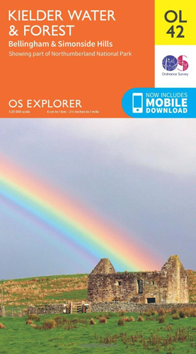
Kielder Water and Kielder Forest on a detailed topographic and GPS compatible map OL42, paper version, from the Ordnance Survey’s 1:25,000 Explorer series. Coverage includes Simonside Hills, Kershope Forest, Liddesdale, Sweethope Loughs, the peaks of The Dodd, Muckle Knowe, Mid Fell, the lakeside circuit around the Kielder Water, a section of the Pennine Way National
Torquay & Dawlish – Newton Abbot OS Explorer Map OL44 (paper)
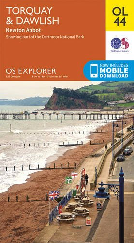
Torquay and Dawlish area of south Devon on a detailed topographic and GPS compatible map OL44, paper version, from the Ordnance Survey’s 1:25,000 Explorer series. Coverage extends from the Exe Estuary in the north-east to Totnes in the south-west and includes Paignton, Newton Abbot, Teignmouth, Exminster, Bovey Tracy, Trenchford Reservoir, a section of the South
The Cotswolds – Burford, Chipping Campden, Cirencester & Stow-on-the-Wold OS Explorer Map OL45 (paper)
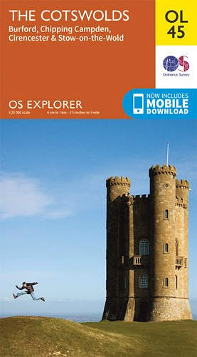
The Cotswolds on a detailed topographic and GPS compatible map OL45, paper version, from the Ordnance Survey’s 1:25,000 Explorer series. Centred on Bourton-on-the-Water, the map extends north beyond Chipping Campden and south to Cirencester. Coverage includes Stow-on-the-Wold, Moreton-in-Marsh, Turkdean, Northleach, Burford, Carterton, etc. The are is criss-crossed by numerous trails: the Cotswold Way National Trail,
South Pennines: Burnley, Hebden Bridge, Keighley & Todmorden OS Explorer Map OL21 (paper)
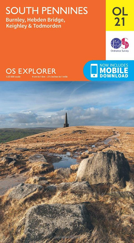
The southern part of the Pennines on a detailed topographic and GPS compatible map OL21, paper version, from the Ordnance Survey’s 1:25,000 Explorer series. The map covers an area between Burney and Halifax, extending north to Skipton and Horton. Coverage includes Littleborough, Sowerby Bridge, Todmorden, Haworth, Nelson, Bernoldswick, the peak of Lad Law and part
Eastbourne & Beachy Head – Newhaven, Seaford, Hailsham & Heathfield OS Explorer Map OL25 (paper)
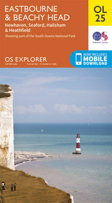
Eastbourne & Beachy Head area of Sussex on a detailed topographic and GPS compatible map OL25, paper version, from the Ordnance Survey’s 1:25,000 Explorer series. Coverage along the coast extends westwards from Pevensey and the Pevensey Levels to Newhaven, inland to Heathfield and Uckfield, and includes Birling Gap, the Seven Sisters coastline, Alfriston and the
North York Moors Western OS Explorer Map OL26 (paper)
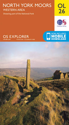
The western part of the North York Moors National Park on a detailed topographic and GPS compatible map OL26, paper version, from the Ordnance Survey’s 1:25,000 Explorer series. Coverage extends from Ampleforth in the south northwards to Saltburn-by-the-Sea, and from Ingleby Arncliffe to Danby, Castleton and Hutton-le-Hole, and includes Rievaulx, Helmsley, Fangdale Beck, Maltby, Guisborough,
North York Moors Eastern OS Explorer Map OL27 (paper)
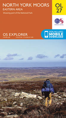
The eastern part of the North York Moors National Park on a detailed topographic and GPS compatible map OL27, paper version, from the Ordnance Survey’s 1:25,000 Explorer series. Coverage along the coast extends from Scarborough across Robin Hood’s Bay and Whitby to beyond Staithnes, inland to Danby, Rosedale Moor and Hartoft End, and includes Pickering,
North Pennines: Teesdale & Weardale OS Explorer Map OL31 (paper)
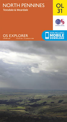
The northern part of the Pennines including Teesdale and Weardale on a detailed topographic and GPS compatible map OL31, paper version, from the Ordnance Survey’s 1:25,000 Explorer series. Coverage include Barnard Castle, Middleton-in-Teesdale, Stanhope, Blagill, Gilderdale Forest, Milburn Forest, Hamsterley Forest, Middleton Common, the peaks of Three Pikes and Cross Fell, a section of the

Winchester, New Alresford & East Meon OS Explorer Map OL32 (paper)
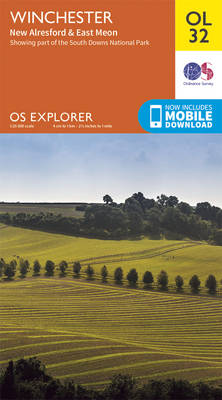
Winchester, New Alresford and East Meon area of Hampshire on a detailed topographic and GPS compatible map OL32, paper version, from the Ordnance Survey’s 1:25,000 Explorer series. Coverage includes part of the South Downs National Park with the westernmost section of the South Downs Way National Trail. Other trails include the Monarch’s Way, the Wayfarer’s
Meon Valley, Portsmouth, Gosport & Fareham OS Explorer Map OL3 (paper)

Meon Valley, Portsmouth, Gosport and Fareham area of south Hampshire on a detailed topographic and GPS compatible map OL3, paper version, from the Ordnance Survey’s 1:25,000 Explorer series. Coverage extends from the coast to Owslebury and East Meon, and includes part of the South Downs National Park, a section of the South Downs Way National
Haslemere & Petersfield – Midhurst & Selborne OS Explorer Map OL33 (paper)
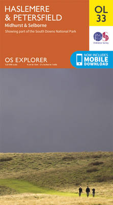
Haslemere and Petersfield area of Hampshire, Sussex and Surrey on a detailed topographic and GPS compatible map OL33, paper version, from the Ordnance Survey’s 1:25,000 Explorer series. Coverage extends from Alton and Witley southwards to Midhurst, and includes parts of the South Downs National Park and the Surrey Downs Area of Outstanding Natural Beauty, the
English Lakes South Western – Coniston, Ulverston & Barrow-in-Furness OS Explorer Map OL6 (paper)
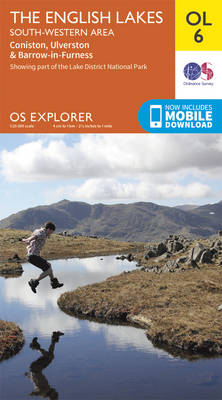
The south-western area of the Lake District on a detailed topographic and GPS compatible map OL6, paper version, from the Ordnance Survey’s 1:25,000 Explorer series. Coverage extends from the peaks of Seatallan, Scafell Pike and High Rise southwards to Burrow-in-Furness and Walney Island, and includes Coniston with the southern part of the Coniston Water, Wast
Crawley & Horsham – Cranleigh & Billingshurst OS Explorer Map OL34 (paper)
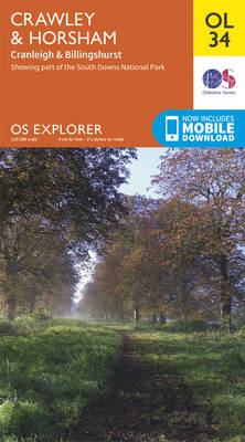
Crawley and Horsham area of Sussex and Surrey on a detailed topographic and GPS compatible map OL34, paper version, from the Ordnance Survey’s 1:25,000 Explorer series. Coverage extends from Cranleigh and Crawley in the north to Hickstead and Bedham, and includes Billinghurst, Nymans, part of the High Weald Area of Outstanding Natural Beauty, the Low
Chichester, South Harting & Selsey OS Explorer Map OL8 (paper)
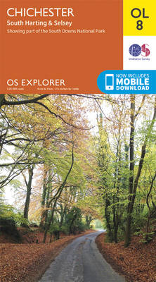
Chichester, South Harting and Selsey area of Sussex and Hampshire on a detailed topographic and GPS compatible map OL8, paper version, from the Ordnance Survey’s 1:25,000 Explorer series. Coverage along the coast extends from Pagham westwards across Selsey Bill and Hayling Island to Langstone Harbour, and includes part of the South Downs National Park, Emsworth,