Category Archives: Maps
Cerne Abbas & Bere Regis – Blandford Forum & Beaminster OS Explorer Map 117 (paper)
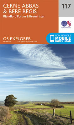
Cerne Abbas, Bere Regis, Blandford Forum and Beaminster area on a detailed topographic and GPS compatible map No. 117, paper version, from the Ordnance Survey’s 1:25,000 Explorer series.MOBILE DOWNLOADS: this title and all the other OS Explorer maps include a code for downloading after purchase the digital version onto your smartphone or tablet for viewing
Coreen Hills & Glenlivet – Bennachie, Ladder Hills, Insch & Rhynie OS Explorer Map OL62 (paper)
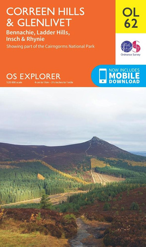
The Coreen Hills and Glenlivet area of the Scottish Highlands on a detailed topographic and GPS compatible map OL62, paper version, from the Ordnance Survey’s 1:25,000 Explorer series. Coverage includes part of the Cairngorms National Park,Ladder Hills, Insch, Rhynie, Bennachie, a section of the Gordon Way, etc.MOBILE DOWNLOADS: this title and all the other OS
Shaftesbury & Cranborne Chase – Poole, Wimborne Minster & Blandford Forum OS Explorer Map 118 (paper)
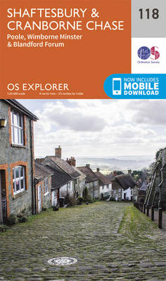
Shaftesbury, Cranborne Chase, Poole, Wimborne Minster and Blandford Forum area on a detailed topographic and GPS compatible map No. 118, paper version, from the Ordnance Survey’s 1:25,000 Explorer series. MOBILE DOWNLOADS: this title and all the other OS Explorer maps include a code for downloading after purchase the digital version onto your smartphone or tablet
Isles of Scilly OS Explorer Map 101 (paper)

The Isles of Scilly on a detailed topographic and GPS compatible map No. 101, paper version, from the Ordnance Survey’s 1:25,000 Explorer series. MOBILE DOWNLOADS: this title and all the other OS Explorer maps include a code for downloading after purchase the digital version onto your smartphone or tablet for viewing on the OS smartphone
The Lizard – Falmouth & Helston OS Explorer Map 103 (paper)
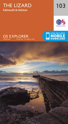
The Lizard with Falmouth and Helston area on a detailed topographic and GPS compatible map No. 103, paper version, from the Ordnance Survey’s 1:25,000 Explorer series. MOBILE DOWNLOADS: this title and all the other OS Explorer maps include a code for downloading after purchase the digital version onto your smartphone or tablet for viewing on
Redruth & St Agnes – Camborne & Perranporth OS Explorer Map 104 (paper)
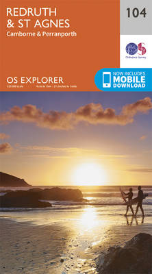
Redruth, St Agnes, Camborne and Perranporth area on a detailed topographic and GPS compatible map No. 104, paper version, from the Ordnance Survey’s 1:25,000 Explorer series.MOBILE DOWNLOADS: this title and all the other OS Explorer maps include a code for downloading after purchase the digital version onto your smartphone or tablet for viewing on the
Falmouth & Mevagissey – Truro & St Mawes OS Explorer Map 105 (paper)
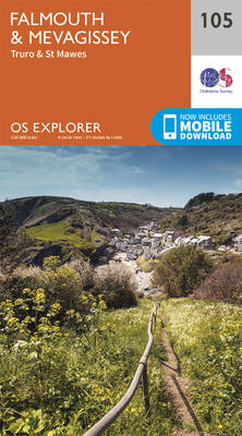
Falmouth, Mevagissey, Truro and St Mawes area on a detailed topographic and GPS compatible map No. 105, paper version, from the Ordnance Survey’s 1:25,000 Explorer series.MOBILE DOWNLOADS: this title and all the other OS Explorer maps include a code for downloading after purchase the digital version onto your smartphone or tablet for viewing on the
Newquay & Padstow – Wadebridge, Port Isaac & St Columb Major OS Explorer Map 106 (paper)
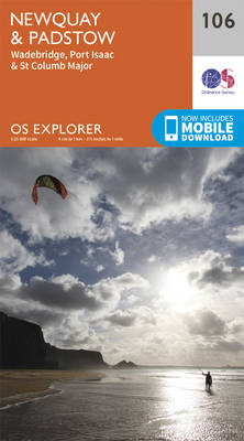
Newquay, Padstow, Wadebridge, Port Isaac and St Columb Major area on a detailed topographic and GPS compatible map No. 106, paper version, from the Ordnance Survey’s 1:25,000 Explorer series. MOBILE DOWNLOADS: this title and all the other OS Explorer maps include a code for downloading after purchase the digital version onto your smartphone or tablet
Glen Shee & Braemar – The Cairnwell & Glas Maol OS Explorer Map OL52 (paper)
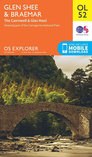
Glen Shee and Braemar area of the Scottish Highlands on a detailed topographic and GPS compatible map OL52, paper version, from the Ordnance Survey’s 1:25,000 Explorer series. Coverage includes part of the Cairngorms National Park, 12 Munro peaks including The Cairnwell, Glas Maol and An Socach, a section of the Cateran Trail, etc.MOBILE DOWNLOADS: this
Lochnagar, Glen Muick & Glen Clova – Ballater & Balmoral OS Explorer Map OL53 (paper)
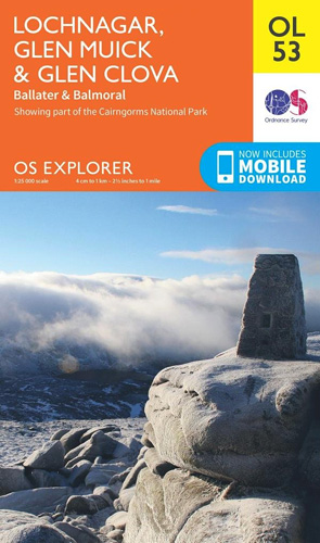
Lochnagar, Glen Muick and Glen Clova area of the Cairngorms National Park on a detailed topographic and GPS compatible map OL53, paper version, from the Ordnance Survey’s 1:25,000 Explorer series. Coverage includes part of the Deeside and Lochnagar National Scenic Area, 11 Munro peaks including Broad Cairn, Mayar, and Tom Buidhe, Glen Prosen, Ballater, Balmoral,
Glen Esk & Glen Tanar – Aboyne & Mount Keen OS Explorer Map OL54 (paper)
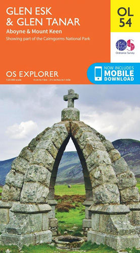
Glen Esk and Glen Tanar area the Scottish Highlands on a detailed topographic and GPS compatible map OL54, paper version, from the Ordnance Survey’s 1:25,000 Explorer series. Coverage includes part of the Cairngorms National Park with a Munro peak of Mount Keen, the Forest of Birse, Aboyne, a section of the Deeside Way, etc.MOBILE DOWNLOADS:
Cowal East – Dunoon & Inveraray OS Explorer Map OL37 (paper)
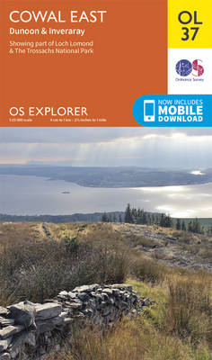
Cowal East area of central Scotland on a detailed topographic and GPS compatible map OL37, paper version, from the Ordnance Survey’s 1:25,000 Explorer series. Coverage includes a section of the Loch Lomond and The Trossachs National Park with parts of the Queen Elizabeth Forest Park and the Argyll Forest Park, Dunoon, Inveraray, Loch Long, Loch
Loch Laggan & Creag Meagaidh – Corrieyairick Pass OS Explorer Map OL55 (paper)
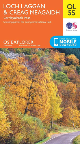
Loch Laggan and Creag Meagaidh area of the Scottish Highlands on a detailed topographic and GPS compatible map OL55, paper version, from the Ordnance Survey’s 1:25,000 Explorer series. Coverage includes a section of the Cairngorms National Park, the Corrieyairack Pass and Forest, six Munro peaks including Cael Charn and Carn Liath, Badenoch, and in the
Loch Lomond South – Dumbarton, Helensburgh, Drymen & Cove OS Explorer Map OL38 (paper)
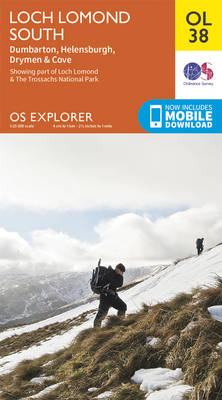
The southern part of Loch Lomond on a detailed topographic and GPS compatible map OL38, paper version, from the Ordnance Survey’s 1:25,000 Explorer series. Coverage includes a section of the Loch Lomond and The Trossachs National Park with parts of the Queen Elizabeth Forest Park and the Argyll Forest Park, Dumbarton, Helensburgh, Cove, Drymen, Kilpatrick
Badenoch & Upper Strathspey – Kingussie & Newtonmore OS Explorer Map OL56 (paper)
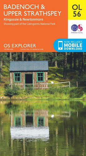
Badenoch and Upper Strathspey area of the Cairmgorms National Park on a detailed topographic and GPS compatible map OL56, paper version, from the Ordnance Survey’s 1:25,000 Explorer series. Coverage includes Kingussie, Newtonmore, three Munro peaks including A’ Chailleach, Monadhliath Mountains, etc.MOBILE DOWNLOADS: this title and all the other OS Explorer maps include a code for
Loch Lomond North – Tyndrum, Crianlarich & Arrochar OS Explorer Map OL39 (paper)
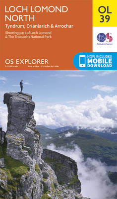
The northern part of Loch Lomond on a detailed topographic and GPS compatible map OL39, paper version, from the Ordnance Survey’s 1:25,000 Explorer series. Coverage includes a section of the Loch Lomond and The Trossachs National Park with parts of the Queen Elizabeth Forest Park and the Argyll Forest Park, 14 Munro peaks including An
Cairn Gorm & Aviemore – Loch Morlich OS Explorer Map OL57 (paper)
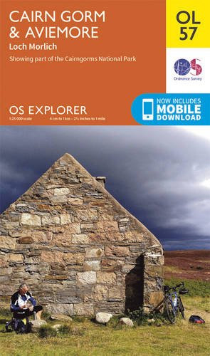
Cairn Gorm and Aviemore area of the Cairmgorms National Park on a detailed topographic and GPS compatible map OL57, paper version, from the Ordnance Survey’s 1:25,000 Explorer series. Coverage includes the Glenmore Forest Park, Loch Morlich, 16 Munro peaks including Carin Gorm, Bynack More and The Devil’s Point, the southern section of the Speyside Way,
Forest of Bowland & Ribblesdale – Pendle Hill, Clitheroe & Settle OS Explorer Map OL41 (paper)
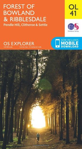
The Forest of Bowland and Ribblesdale on a detailed topographic and GPS compatible map OL41, paper version, from the Ordnance Survey’s 1:25,000 Explorer series. Coverage extends from Lancaster in the west to Settle and Barnoldswick, and includes Barrowford, Clitheroe, Catterall, Hornby, Stocks Reservoir, sections of the Pennine Bridleway National Trail, the Dales High Way, Pendle
Braemar, Tomintoul & Glen Avon OS Explorer Map OL58 (paper)
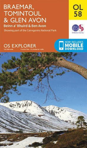
Braemar, Tomintoul and Glen Avon area of the Cairmgorms National Park on a detailed topographic and GPS compatible map OL58, paper version, from the Ordnance Survey’s 1:25,000 Explorer series. Coverage includes part of the Deeside and Lochnagar National Scenic Area, Be Avon, 5 Munro peaks including, Beinn a’ Bhuird and Leabaidh an Daimh Bhuidhe, the
Kielder Water & Forest – Bellingham & Simonside Hills OS Explorer Map OL42 (paper)
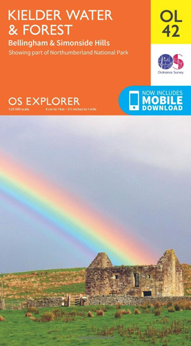
Kielder Water and Kielder Forest on a detailed topographic and GPS compatible map OL42, paper version, from the Ordnance Survey’s 1:25,000 Explorer series. Coverage includes Simonside Hills, Kershope Forest, Liddesdale, Sweethope Loughs, the peaks of The Dodd, Muckle Knowe, Mid Fell, the lakeside circuit around the Kielder Water, a section of the Pennine Way National