Category Archives: Maps
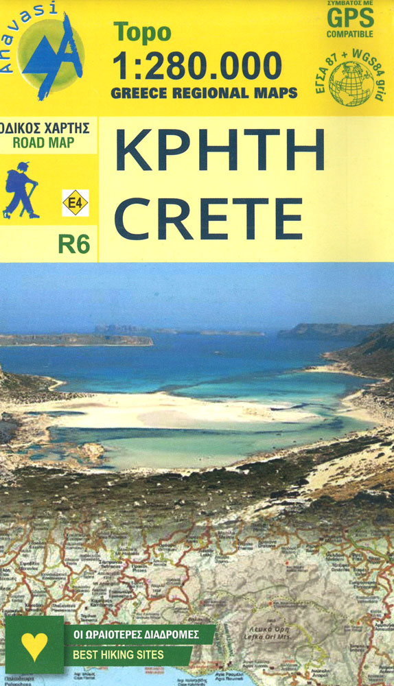
Crete Anavasi Adventure Atlas
The new `Adventure Atlas of Crete` by Ananvasi is the ultimate tool to discover the island.Find all the information you need to go hiking, canyoning, climbing, swimming on beautiful beaches; explore abandoned villages, Minaon peak sanctuaries, cave-churches, Byzantine and Ottoman castles. Whatever you want to visit in Crete you will find it in the 52
Santorini – Thirasia Anavasi 10.24

Santorini with the nearby Thirasia at 1:26,000 on light, waterproof and tear-resistant, contoured and GPS compatible map from Anavasi, with on the reverse special maps of the two islands highlighting numerous hiking paths.On one side the two islands, with Nea Kameni, Palea Kameni and Aspronisi, are presented with contours at 20 metre intervals with additional
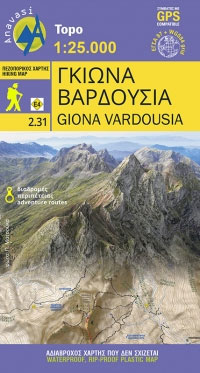
Giona – Vardousia Anavasi 2.31
Corfu – Othoni – Erikouse – Mathraki Anavasi 9.4
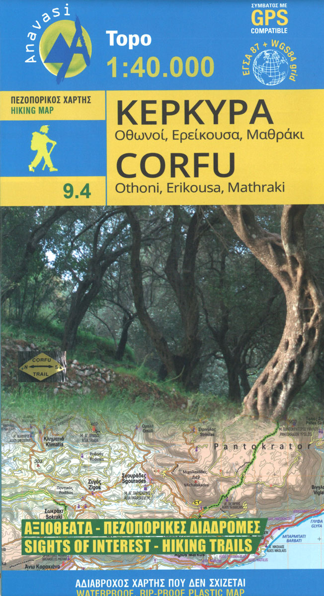
Corfu on a handy size, light, waterproof and tear-resistant, contoured and GPS compatible map at 1:40,000 from Anavasi, highlighting the course of the Corfu Trail across the whole length of the island. The map is double-sided with a narrow overlap between the sides.Landscape is shown by contours at 50m with hill shading and spot heights.
Agrafa Anavasi 2.5/4.1
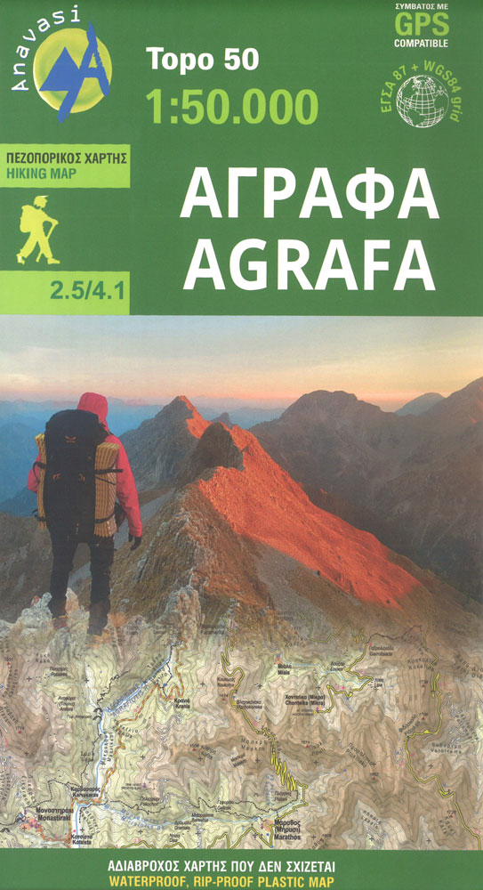
The new Agrafa map covers for the first time the entire Agrafa mountain range. Agrafa is a sea of rugged, uninhabited mountains that stun the viewer and move the climber. Amidst the daunting backdrop of aerial ridges and deep ravines, Anasavi cartographers walked and recorded small and long hikes marked on the map, and outlined
Nafpaktos – Panaitoliko – Karpenisi Anavasi 2.4
The mountains of Evritania: Velouchi, Chelidona, Kaliakouda and Panetoliko on one side, and on the other the mountainous Nafpaktia area, where Anninos, Tsekoura, Ardini and Tsakalaki . On the proposed routes you will find climbs to the tops and beautiful hikes from village to village or to a bridge, waterfall, forgotten monastery.
Lemnos Anavasi 10.30

Hiking map of Lรฉmnos island in a scale of 1:60.000A new detailed hiking map for Lรฉmnos in scale 1:60.000 by Anavasi editions with information on its monuments and beaches.Lemnos landscape, like its earth and taste are unique. Who would expect a little desert, sculpture-like geological formations, wetlands with flamingos, vineyards and endless beaches all in
Taygetos – North Taygetos Anavasi 8.1
The Taygetos range between Sparta and Kalamata at 1:50,000 on a contoured, GPS compatible map from Anavasi with on the reverse a special map highlighting the region’s numerous hiking trails, including the course of the E4 European long-distance path.On one side is the main map of the area with excellent presentation of its topography by
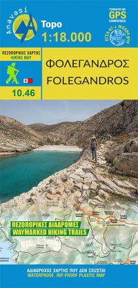
Folegandros Anavasi 10.46
Frangokastelo – Plakias Anavasi 11.17
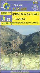
The Frangokastelo ‘“ Plakias area on the southern coast of Crete at 1:25,000 in a series of contoured, GPS compatible hiking maps of Crete from Anavasi, printed waterproof and tear-resistant paper. Annotations provide useful hints for walkers. Coverage extends from Imbros Gorge in the west to Plakias in the east.Topography is shown by contour lines
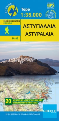
Astypalaia Anavasi 10.49
Evia / Euboea – Skyros Anavasi 04
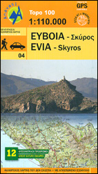
Evia (Euboea) with Skyros at 1:110,000 on a double-sided, contoured and GPS compatible, topographic road map from Anavasi printed on light, waterproof and tear-resistant synthetic paper. The map divides Evia north/south, with coverage on the southern half extending to the outskirts of Athens; the northern half extends west to Livadia. Contours at 100m intervals, enhanced
Cyclades – Argosaronic Anavasi Regional Map R1
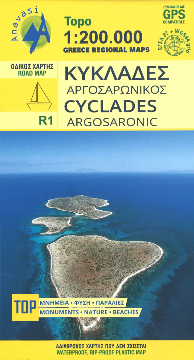
Cyclades – Argosaronic Islands is new map covering the areas of Attica with the Argosaronic islands of Salamina, Aegina, Ydra and Poros and all the Cyclades islands, printed on 2 sides with overlap. Place names are in both Greek and Latin alphabet.Altitude colouring with relief shading and plenty if names of mountain ranges and peaks
Prespa – Vitsi – Voras Anavasi 6.2
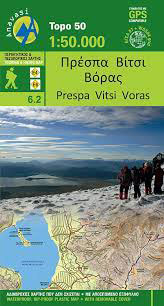
Prespa – Vitsi ‘“ Voras area of northern Greece at 1:50,000 on a light, waterproof and tear-resistant, GPS compatible, contoured map from Anavasi, with recommendations for three hiking trails and notes on the E4 and E6 cross-European trails. The map is double-sided; coverage in the west starts from the Prespa Lake on the border with
Mt Dikti – Mt Selena Anavasi 11.15
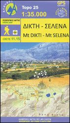
Mt Dikti – Mt Selena area of eastern Crete at 1:35,000 on a light, waterproof and tear-resistant, contoured and GPS compatible map from Anavasi, showing local paths including a section of the E4 European long-distance trail. The area is presented on two different maps. On one side is a topographic map with contours at 20m
Athens Anavasi Pocket Map
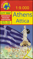
Central Athens on a handy size street plan from Anavasi, highlighting Locations of the city’s 102 important archaeological sites, museums, and other important buildings, plus on the reverse a road map of the environs including the port at Piraeus and the international airport.Coverage extends from south of the Acropolis and the Mousson Hill to beyond
Mykonos – Delos – Rheneia / Rineia Anavasi 10.42
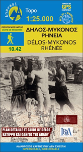
Mykonos with the nearby islands of Delos and Rineia / Rheneia on a light, waterproof and tear-resistant, GPS compatible map at 1:25,000 from Anavasi. The reverse side shows a large, very detailed plan of the archaeological remains on Delos of the temples of Apollo, Artemis and Leto.Topography of the islands is shown by contours with
Milos – Kimolos – Polyvos Anavasi 10.45
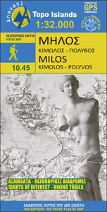
The Aegean island of Milos at 1:32,000 plus on the reverse the nearby islands of Kimolos and Polyvos at 1:26,000 on a light, waterproof and tear-resistant, contoured and GPS compatible map from Anavasi with recommendations for hiking paths and/or special geological trails. All place names are in both Greek and Latin alphabets.The islands’ topography is


