Category Archives: Maps
Ashdown Forest – Royal Tunbridge Wells, East Grinstead, Haywards Heath & Crowborough OS Explorer Map 135 (paper)
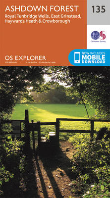
Ashdown Forest, Royal Tunbridge Wells, East Grinstead, Haywards Heath and Crowborough area on a detailed topographic and GPS compatible map No. 135, paper version, from the Ordnance Survey’s 1:25,000 Explorer series.MOBILE DOWNLOADS: this title and all the other OS Explorer maps include a code for downloading after purchase the digital version onto your smartphone or
High Weald – Royal Tunbridge Wells, Cranbrook, Hawkhurst & Bewl Water OS Explorer Map 136 (paper)
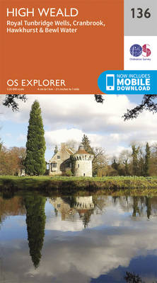
High Weald, Royal Tunbridge Wells, Cranbrook, Hawkhurst and Bewl Water area on a detailed topographic and GPS compatible map No. 136, paper version, from the Ordnance Survey’s 1:25,000 Explorer series. MOBILE DOWNLOADS: this title and all the other OS Explorer maps include a code for downloading after purchase the digital version onto your smartphone or
Ashford – Headcorn, Chilham & Wye OS Explorer Map 137 (paper)

Ashford, Headcorn, Chilham and Wye area on a detailed topographic and GPS compatible map No. 137, paper version, from the Ordnance Survey’s 1:25,000 Explorer series. MOBILE DOWNLOADS: this title and all the other OS Explorer maps include a code for downloading after purchase the digital version onto your smartphone or tablet for viewing on the
Dover, Folkestone & Hythe OS Explorer Map 138 (paper)
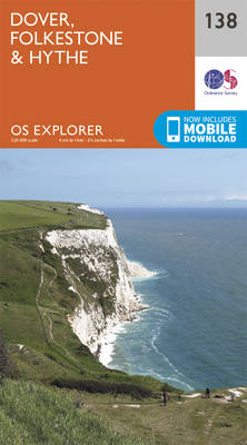
Dover, Folkestone and Hythe area on a detailed topographic and GPS compatible map No. 138, paper version, from the Ordnance Survey’s 1:25,000 Explorer series.MOBILE DOWNLOADS: this title and all the other OS Explorer maps include a code for downloading after purchase the digital version onto your smartphone or tablet for viewing on the OS smartphone
Bideford, Ilfracombe & Barnstaple – Woolacombe & Lundy OS Explorer Map 139 (paper)

Bideford, Ilfracombe, Barnstaple, Woolacombe and Lundy area on a detailed topographic and GPS compatible map No. 139, paper version, from the Ordnance Survey’s 1:25,000 Explorer series. MOBILE DOWNLOADS: this title and all the other OS Explorer maps include a code for downloading after purchase the digital version onto your smartphone or tablet for viewing on
Quantock Hills & Bridgwater OS Explorer Map 140 (paper)

Quantock Hills & Bridgwater area on a detailed topographic and GPS compatible map No. 140, paper version, from the Ordnance Survey’s 1:25,000 Explorer series. MOBILE DOWNLOADS: this title and all the other OS Explorer maps include a code for downloading after purchase the digital version onto your smartphone or tablet for viewing on the OS
Cheddar Gorge & Mendip Hills West – Wells & Glastonbury OS Explorer Map 141 (paper)
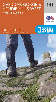
Cheddar Gorge, Mendip Hills West, Wells and Glastonbury area on a detailed topographic and GPS compatible map No. 141, paper version, from the Ordnance Survey’s 1:25,000 Explorer series. MOBILE DOWNLOADS: this title and all the other OS Explorer maps include a code for downloading after purchase the digital version onto your smartphone or tablet for
Shepton Mallet & Mendip Hills East – Frome & Midsomer Norton OS Explorer Map 142 (paper)
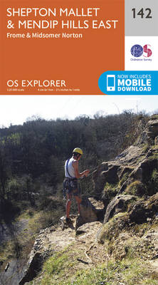
Shepton Mallet, Mendip Hills East, Frome and Midsomer Norton area on a detailed topographic and GPS compatible map No. 142, paper version, from the Ordnance Survey’s 1:25,000 Explorer series. MOBILE DOWNLOADS: this title and all the other OS Explorer maps include a code for downloading after purchase the digital version onto your smartphone or tablet
Isles of Scilly OS Explorer Map 101 (paper)

The Isles of Scilly on a detailed topographic and GPS compatible map No. 101, paper version, from the Ordnance Survey’s 1:25,000 Explorer series. MOBILE DOWNLOADS: this title and all the other OS Explorer maps include a code for downloading after purchase the digital version onto your smartphone or tablet for viewing on the OS smartphone
The Lizard – Falmouth & Helston OS Explorer Map 103 (paper)
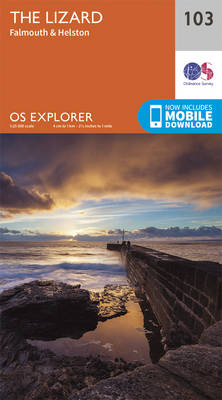
The Lizard with Falmouth and Helston area on a detailed topographic and GPS compatible map No. 103, paper version, from the Ordnance Survey’s 1:25,000 Explorer series. MOBILE DOWNLOADS: this title and all the other OS Explorer maps include a code for downloading after purchase the digital version onto your smartphone or tablet for viewing on
Redruth & St Agnes – Camborne & Perranporth OS Explorer Map 104 (paper)

Redruth, St Agnes, Camborne and Perranporth area on a detailed topographic and GPS compatible map No. 104, paper version, from the Ordnance Survey’s 1:25,000 Explorer series.MOBILE DOWNLOADS: this title and all the other OS Explorer maps include a code for downloading after purchase the digital version onto your smartphone or tablet for viewing on the
Falmouth & Mevagissey – Truro & St Mawes OS Explorer Map 105 (paper)
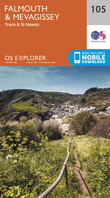
Falmouth, Mevagissey, Truro and St Mawes area on a detailed topographic and GPS compatible map No. 105, paper version, from the Ordnance Survey’s 1:25,000 Explorer series.MOBILE DOWNLOADS: this title and all the other OS Explorer maps include a code for downloading after purchase the digital version onto your smartphone or tablet for viewing on the
Newquay & Padstow – Wadebridge, Port Isaac & St Columb Major OS Explorer Map 106 (paper)

Newquay, Padstow, Wadebridge, Port Isaac and St Columb Major area on a detailed topographic and GPS compatible map No. 106, paper version, from the Ordnance Survey’s 1:25,000 Explorer series. MOBILE DOWNLOADS: this title and all the other OS Explorer maps include a code for downloading after purchase the digital version onto your smartphone or tablet
St Austell & Liskeard – Fowey, Looe & Lostwithiel OS Explorer Map 107 (paper)
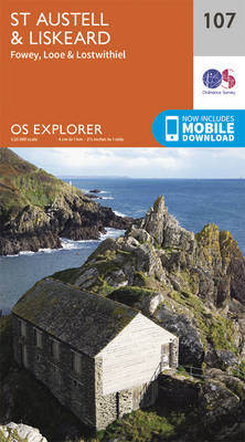
St Austell, Liskeard, Fowey, Looe and Lostwithiel area on a detailed topographic and GPS compatible map No. 107, paper version, from the Ordnance Survey’s 1:25,000 Explorer series.MOBILE DOWNLOADS: this title and all the other OS Explorer maps include a code for downloading after purchase the digital version onto your smartphone or tablet for viewing on
Lower Tamar Valley & Plymouth – Tavistock & Callington OS Explorer Map 108 (paper)
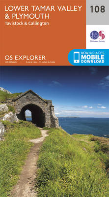
Lower Tamar Valley, Plymouth, Tavistock and Callington area on a detailed topographic and GPS compatible map No. 108, paper version, from the Ordnance Survey’s 1:25,000 Explorer series.MOBILE DOWNLOADS: this title and all the other OS Explorer maps include a code for downloading after purchase the digital version onto your smartphone or tablet for viewing on
Bodmin Moor – Bodmin, Camelford & Liskeard OS Explorer Map 109 (paper)

Bodmin Moor, Bodmin, Camelford and Liskeard area on a detailed topographic and GPS compatible map No. 109, paper version, from the Ordnance Survey’s 1:25,000 Explorer series.MOBILE DOWNLOADS: this title and all the other OS Explorer maps include a code for downloading after purchase the digital version onto your smartphone or tablet for viewing on the
Bude, Boscastle & Tintagel OS Explorer Map 111 (paper)
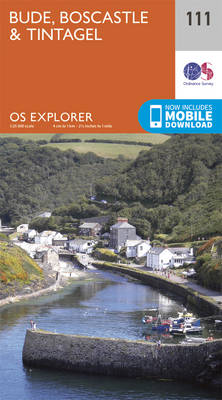
Bude, Boscastle and Tintagel area on a detailed topographic and GPS compatible map No. 111, paper version, from the Ordnance Survey’s 1:25,000 Explorer series.MOBILE DOWNLOADS: this title and all the other OS Explorer maps include a code for downloading after purchase the digital version onto your smartphone or tablet for viewing on the OS smartphone
Launceston & Holsworthy – Roadford Lake OS Explorer Map 112 (paper)
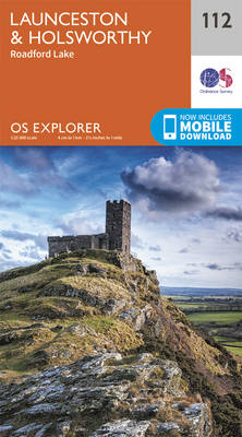
Launceston, Holsworthy and Roadford Lake area on a detailed topographic and GPS compatible map No. 112, paper version, from the Ordnance Survey’s 1:25,000 Explorer series. MOBILE DOWNLOADS: this title and all the other OS Explorer maps include a code for downloading after purchase the digital version onto your smartphone or tablet for viewing on the
Okehampton – Hatherleigh, North Tawton & Lapford OS Explorer Map 113 (paper)
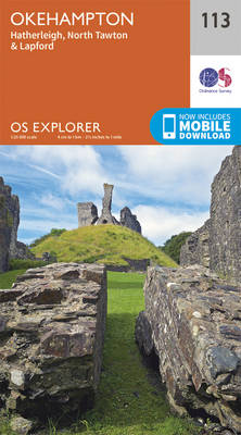
Okehampton, Hatherleigh, North Tawton and Lapford area on a detailed topographic and GPS compatible map No. 113, paper version, from the Ordnance Survey’s 1:25,000 Explorer series.MOBILE DOWNLOADS: this title and all the other OS Explorer maps include a code for downloading after purchase the digital version onto your smartphone or tablet for viewing on the
Exeter & the Exe Valley – Crediton, Tiverton & Dulverton OS Explorer Map 114 (paper)

Exeter, the Exe Valley, Crediton, Tiverton and Dulverton area on a detailed topographic and GPS compatible map No. 114, paper version, from the Ordnance Survey’s 1:25,000 Explorer series.MOBILE DOWNLOADS: this title and all the other OS Explorer maps include a code for downloading after purchase the digital version onto your smartphone or tablet for viewing