Category Archives: Maps
Maidstone & the Medway Towns OS Explorer Map 148 (paper)
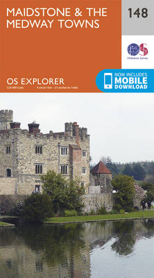
Maidstone and the Medway Towns area on a detailed topographic and GPS compatible map No. 148, paper version, from the Ordnance Survey’s 1:25,000 Explorer series. MOBILE DOWNLOADS: this title and all the other OS Explorer maps include a code for downloading after purchase the digital version onto your smartphone or tablet for viewing on the
Gower – Llanelli OS Explorer Map 164 (paper)
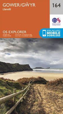
Gower – Llanelli area on a detailed topographic and GPS compatible map No. 164, paper version, from the Ordnance Survey’s 1:25,000 Explorer series.MOBILE DOWNLOADS: this title and all the other OS Explorer maps include a code for downloading after purchase the digital version onto your smartphone or tablet for viewing on the OS smartphone app.OS
Sittingbourne & Faversham – Isle of Sheppey OS Explorer Map 149 (paper)
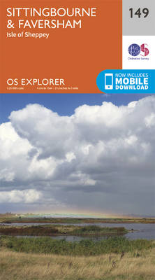
Sittingbourne, Faversham and the Isle of Sheppey area on a detailed topographic and GPS compatible map No. 149, paper version, from the Ordnance Survey’s 1:25,000 Explorer series.MOBILE DOWNLOADS: this title and all the other OS Explorer maps include a code for downloading after purchase the digital version onto your smartphone or tablet for viewing on
Swansea – Neath & Port Talbot OS Explorer Map 165 (paper)

Swansea, Neath and Port Talbot area on a detailed topographic and GPS compatible map No. 165, paper version, from the Ordnance Survey’s 1:25,000 Explorer series.MOBILE DOWNLOADS: this title and all the other OS Explorer maps include a code for downloading after purchase the digital version onto your smartphone or tablet for viewing on the OS
Canterbury & the Isle of Thanet – Herne Bay, Deal & Whitstable OS Explorer Map 150 (paper)
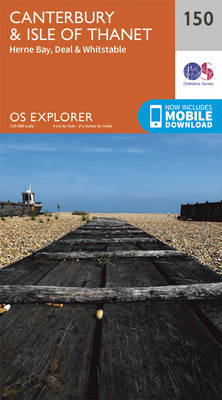
Canterbury, the Isle of Thanet, Herne Bay, Deal and Whitstable area on a detailed topographic and GPS compatible map No. 150, paper version, from the Ordnance Survey’s 1:25,000 Explorer series. MOBILE DOWNLOADS: this title and all the other OS Explorer maps include a code for downloading after purchase the digital version onto your smartphone or
Rhondda & Merthyr Tydfil OS Explorer Map 166 (paper)
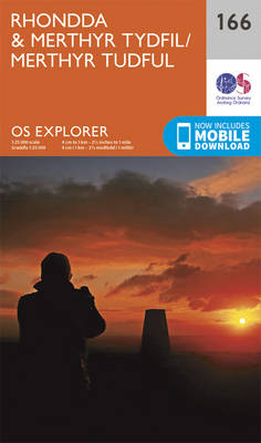
Rhondda and Merthyr Tydfil area on a detailed topographic and GPS compatible map No. 166, paper version, from the Ordnance Survey’s 1:25,000 Explorer series. MOBILE DOWNLOADS: this title and all the other OS Explorer maps include a code for downloading after purchase the digital version onto your smartphone or tablet for viewing on the OS
Cardiff & Bridgend – Vale of Glamorgan OS Explorer Map 151 (paper)

Cardiff, Bridgend and the Vale of Glamorgan area on a detailed topographic and GPS compatible map No. 151, paper version, from the Ordnance Survey’s 1:25,000 Explorer series.MOBILE DOWNLOADS: this title and all the other OS Explorer maps include a code for downloading after purchase the digital version onto your smartphone or tablet for viewing on
Newport & Pontypool OS Explorer Map 152 (paper)

Newport and Pontypool area on a detailed topographic and GPS compatible map No. 152, paper version, from the Ordnance Survey’s 1:25,000 Explorer series.MOBILE DOWNLOADS: this title and all the other OS Explorer maps include a code for downloading after purchase the digital version onto your smartphone or tablet for viewing on the OS smartphone app.OS
Ashford – Headcorn, Chilham & Wye OS Explorer Map 137 (paper)

Ashford, Headcorn, Chilham and Wye area on a detailed topographic and GPS compatible map No. 137, paper version, from the Ordnance Survey’s 1:25,000 Explorer series. MOBILE DOWNLOADS: this title and all the other OS Explorer maps include a code for downloading after purchase the digital version onto your smartphone or tablet for viewing on the
Dover, Folkestone & Hythe OS Explorer Map 138 (paper)
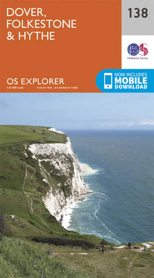
Dover, Folkestone and Hythe area on a detailed topographic and GPS compatible map No. 138, paper version, from the Ordnance Survey’s 1:25,000 Explorer series.MOBILE DOWNLOADS: this title and all the other OS Explorer maps include a code for downloading after purchase the digital version onto your smartphone or tablet for viewing on the OS smartphone
Bideford, Ilfracombe & Barnstaple – Woolacombe & Lundy OS Explorer Map 139 (paper)

Bideford, Ilfracombe, Barnstaple, Woolacombe and Lundy area on a detailed topographic and GPS compatible map No. 139, paper version, from the Ordnance Survey’s 1:25,000 Explorer series. MOBILE DOWNLOADS: this title and all the other OS Explorer maps include a code for downloading after purchase the digital version onto your smartphone or tablet for viewing on
Quantock Hills & Bridgwater OS Explorer Map 140 (paper)

Quantock Hills & Bridgwater area on a detailed topographic and GPS compatible map No. 140, paper version, from the Ordnance Survey’s 1:25,000 Explorer series. MOBILE DOWNLOADS: this title and all the other OS Explorer maps include a code for downloading after purchase the digital version onto your smartphone or tablet for viewing on the OS
Cheddar Gorge & Mendip Hills West – Wells & Glastonbury OS Explorer Map 141 (paper)
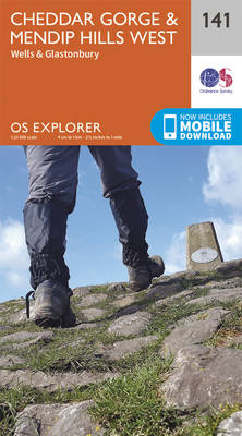
Cheddar Gorge, Mendip Hills West, Wells and Glastonbury area on a detailed topographic and GPS compatible map No. 141, paper version, from the Ordnance Survey’s 1:25,000 Explorer series. MOBILE DOWNLOADS: this title and all the other OS Explorer maps include a code for downloading after purchase the digital version onto your smartphone or tablet for
Shepton Mallet & Mendip Hills East – Frome & Midsomer Norton OS Explorer Map 142 (paper)
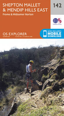
Shepton Mallet, Mendip Hills East, Frome and Midsomer Norton area on a detailed topographic and GPS compatible map No. 142, paper version, from the Ordnance Survey’s 1:25,000 Explorer series. MOBILE DOWNLOADS: this title and all the other OS Explorer maps include a code for downloading after purchase the digital version onto your smartphone or tablet
Hastings & Bexhill – Battle & Robertsbridge OS Explorer Map 124 (paper)

Hastings, Bexhill, Battle and Robertsbridge area on a detailed topographic and GPS compatible map No. 124, paper version, from the Ordnance Survey’s 1:25,000 Explorer series.MOBILE DOWNLOADS: this title and all the other OS Explorer maps include a code for downloading after purchase the digital version onto your smartphone or tablet for viewing on the OS
Warminster & Trowbridge – Westbury & Mere OS Explorer Map 143 (paper)

Warminster, Trowbridge, Westbury and Mere area on a detailed topographic and GPS compatible map No. 143, paper version, from the Ordnance Survey’s 1:25,000 Explorer series. MOBILE DOWNLOADS: this title and all the other OS Explorer maps include a code for downloading after purchase the digital version onto your smartphone or tablet for viewing on the
Romney Marsh – Rye, Winchelsea, Tenterden & New Romney OS Explorer Map 125 (paper)

Romney Marsh, Rye, Winchelsea, Tenterden and New Romney area on a detailed topographic and GPS compatible map No. 125, paper version, from the Ordnance Survey’s 1:25,000 Explorer series.MOBILE DOWNLOADS: this title and all the other OS Explorer maps include a code for downloading after purchase the digital version onto your smartphone or tablet for viewing
Basingstoke – Alton, Whitchurch, Odiham, Overton & Hook OS Explorer Map 144 (paper)
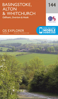
Basingstoke, Alton, Whitchurch, Odiham, Overton & Hook area on a detailed topographic and GPS compatible map No. 144, paper version, from the Ordnance Survey’s 1:25,000 Explorer series. MOBILE DOWNLOADS: this title and all the other OS Explorer maps include a code for downloading after purchase the digital version onto your smartphone or tablet for viewing
Clovelly & Hartland – Bideford & Bradworthy OS Explorer Map 126 (paper)

Clovelly, Hartland, Bideford and Bradworthy area on a detailed topographic and GPS compatible map No. 126, paper version, from the Ordnance Survey’s 1:25,000 Explorer series.MOBILE DOWNLOADS: this title and all the other OS Explorer maps include a code for downloading after purchase the digital version onto your smartphone or tablet for viewing on the OS
Guildford & Farnham – Godalming & Farnborough OS Explorer Map 145 (paper)
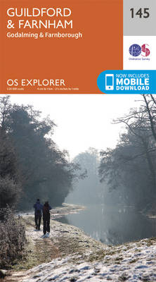
Guildford, Farnham, Godalming and Farnborough area on a detailed topographic and GPS compatible map No. 145, paper version, from the Ordnance Survey’s 1:25,000 Explorer series. MOBILE DOWNLOADS: this title and all the other OS Explorer maps include a code for downloading after purchase the digital version onto your smartphone or tablet for viewing on the