Category Archives: Maps
Vale of White Horse, Abingdon, Wantage – Wallingford & Faringdon OS Explorer Map 170 (paper)

Abingdon, Wantage, Vale of White Horse, Wallingford and Faringdon area on a detailed topographic and GPS compatible map No. 170, paper version, from the Ordnance Survey’s 1:25,000 Explorer series. MOBILE DOWNLOADS: this title and all the other OS Explorer maps include a code for downloading after purchase the digital version onto your smartphone or tablet
Llandeilo & Brechfa Forest – Llanybydder OS Explorer Map 186 (paper)

Llandeilo, Brechfa Forest and Llanybydder area on a detailed topographic and GPS compatible map No. 186, paper version, from the Ordnance Survey’s 1:25,000 Explorer series.MOBILE DOWNLOADS: this title and all the other OS Explorer maps include a code for downloading after purchase the digital version onto your smartphone or tablet for viewing on the OS
Chiltern Hills West – Henley-on-Thames & Wallingford OS Explorer Map 171 (paper)

Chiltern Hills West: Henley-on-Thames and Wallingford area on a detailed topographic and GPS compatible map No. 171, paper version, from the Ordnance Survey’s 1:25,000 Explorer series.MOBILE DOWNLOADS: this title and all the other OS Explorer maps include a code for downloading after purchase the digital version onto your smartphone or tablet for viewing on the
Chiltern Hills East – High Wycombe, Maidenhead & Rickmansworth OS Explorer Map 172 (paper)

Chiltern Hills East: High Wycombe, Maidenhead and Rickmansworth area on a detailed topographic and GPS compatible map No. 172, paper version, from the Ordnance Survey’s 1:25,000 Explorer series.MOBILE DOWNLOADS: this title and all the other OS Explorer maps include a code for downloading after purchase the digital version onto your smartphone or tablet for viewing
London North: The City, West End, Enfield, Ealing, Harrow & Watford OS Explorer Map 173 (paper)

London North: The City, West End, Enfield, Ealing, Harrow and Watford area on a detailed topographic and GPS compatible map No. 173, paper version, from the Ordnance Survey’s 1:25,000 Explorer series. MOBILE DOWNLOADS: this title and all the other OS Explorer maps include a code for downloading after purchase the digital version onto your smartphone
Epping Forest & Lee Valley – Hertford & Harlow OS Explorer Map 174 (paper)

Epping Forest, Lee Valley, Hertford and Harlow area on a detailed topographic and GPS compatible map No. 174, paper version, from the Ordnance Survey’s 1:25,000 Explorer series.MOBILE DOWNLOADS: this title and all the other OS Explorer maps include a code for downloading after purchase the digital version onto your smartphone or tablet for viewing on
Southend-on-Sea & Basildon – Brentwood & Billericay OS Explorer Map 175 (paper)

Southend-on-Sea, Basildon, Brentwood and Billericay area on a detailed topographic and GPS compatible map No. 175, paper version, from the Ordnance Survey’s 1:25,000 Explorer series. MOBILE DOWNLOADS: this title and all the other OS Explorer maps include a code for downloading after purchase the digital version onto your smartphone or tablet for viewing on the
Blackwater Estuary: Maldon, Burnham-on-Crouch & Southend-on-Sea OS Explorer Map 176 (paper)
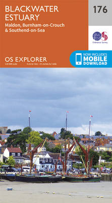
Blackwater Estuary: Maldon, Burnham-on-Crouch and Southend-on-Sea area on a detailed topographic and GPS compatible map No. 176, paper version, from the Ordnance Survey’s 1:25,000 Explorer series. MOBILE DOWNLOADS: this title and all the other OS Explorer maps include a code for downloading after purchase the digital version onto your smartphone or tablet for viewing on
London South: Westminster, Greenwich, Croydon, Esher & Twickenham OS Explorer Map 161 (paper)

London South: Westminster, Greenwich, Croydon, Esher and Twickenham area on a detailed topographic and GPS compatible map No. 161, paper version, from the Ordnance Survey’s 1:25,000 Explorer series. MOBILE DOWNLOADS: this title and all the other OS Explorer maps include a code for downloading after purchase the digital version onto your smartphone or tablet for
Greenwich and Gravesend – East End, Docklands OS Explorer Map 162 (paper)

Greenwich, Gravesend, London’s East End and Docklands area on a detailed topographic and GPS compatible map No. 162, paper version, from the Ordnance Survey’s 1:25,000 Explorer series. MOBILE DOWNLOADS: this title and all the other OS Explorer maps include a code for downloading after purchase the digital version onto your smartphone or tablet for viewing
Sevenoaks & Tonbridge – Royal Tunbridge Wells & Westerham OS Explorer Map 147 (paper)
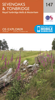
Sevenoaks, Tonbridge, Royal Tunbridge Wells and Westerham area on a detailed topographic and GPS compatible map No. 147, paper version, from the Ordnance Survey’s 1:25,000 Explorer series.MOBILE DOWNLOADS: this title and all the other OS Explorer maps include a code for downloading after purchase the digital version onto your smartphone or tablet for viewing on
Gravesend & Rochester – Hoo Peninsula OS Explorer Map 163 (paper)

Gravesend, Rochester and the Hoo Peninsula area on a detailed topographic and GPS compatible map No. 163, paper version, from the Ordnance Survey’s 1:25,000 Explorer series. MOBILE DOWNLOADS: this title and all the other OS Explorer maps include a code for downloading after purchase the digital version onto your smartphone or tablet for viewing on
Maidstone & the Medway Towns OS Explorer Map 148 (paper)
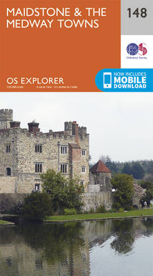
Maidstone and the Medway Towns area on a detailed topographic and GPS compatible map No. 148, paper version, from the Ordnance Survey’s 1:25,000 Explorer series. MOBILE DOWNLOADS: this title and all the other OS Explorer maps include a code for downloading after purchase the digital version onto your smartphone or tablet for viewing on the
Gower – Llanelli OS Explorer Map 164 (paper)

Gower – Llanelli area on a detailed topographic and GPS compatible map No. 164, paper version, from the Ordnance Survey’s 1:25,000 Explorer series.MOBILE DOWNLOADS: this title and all the other OS Explorer maps include a code for downloading after purchase the digital version onto your smartphone or tablet for viewing on the OS smartphone app.OS
Sittingbourne & Faversham – Isle of Sheppey OS Explorer Map 149 (paper)
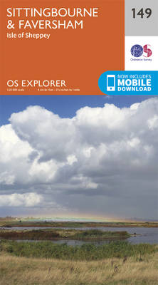
Sittingbourne, Faversham and the Isle of Sheppey area on a detailed topographic and GPS compatible map No. 149, paper version, from the Ordnance Survey’s 1:25,000 Explorer series.MOBILE DOWNLOADS: this title and all the other OS Explorer maps include a code for downloading after purchase the digital version onto your smartphone or tablet for viewing on
Swansea – Neath & Port Talbot OS Explorer Map 165 (paper)

Swansea, Neath and Port Talbot area on a detailed topographic and GPS compatible map No. 165, paper version, from the Ordnance Survey’s 1:25,000 Explorer series.MOBILE DOWNLOADS: this title and all the other OS Explorer maps include a code for downloading after purchase the digital version onto your smartphone or tablet for viewing on the OS
Canterbury & the Isle of Thanet – Herne Bay, Deal & Whitstable OS Explorer Map 150 (paper)
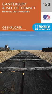
Canterbury, the Isle of Thanet, Herne Bay, Deal and Whitstable area on a detailed topographic and GPS compatible map No. 150, paper version, from the Ordnance Survey’s 1:25,000 Explorer series. MOBILE DOWNLOADS: this title and all the other OS Explorer maps include a code for downloading after purchase the digital version onto your smartphone or
Rhondda & Merthyr Tydfil OS Explorer Map 166 (paper)

Rhondda and Merthyr Tydfil area on a detailed topographic and GPS compatible map No. 166, paper version, from the Ordnance Survey’s 1:25,000 Explorer series. MOBILE DOWNLOADS: this title and all the other OS Explorer maps include a code for downloading after purchase the digital version onto your smartphone or tablet for viewing on the OS
Cardiff & Bridgend – Vale of Glamorgan OS Explorer Map 151 (paper)

Cardiff, Bridgend and the Vale of Glamorgan area on a detailed topographic and GPS compatible map No. 151, paper version, from the Ordnance Survey’s 1:25,000 Explorer series.MOBILE DOWNLOADS: this title and all the other OS Explorer maps include a code for downloading after purchase the digital version onto your smartphone or tablet for viewing on
Newport & Pontypool OS Explorer Map 152 (paper)

Newport and Pontypool area on a detailed topographic and GPS compatible map No. 152, paper version, from the Ordnance Survey’s 1:25,000 Explorer series.MOBILE DOWNLOADS: this title and all the other OS Explorer maps include a code for downloading after purchase the digital version onto your smartphone or tablet for viewing on the OS smartphone app.OS