Category Archives: Maps
Ipswich, Felixstowe & Harwich – Woodbridge & Manningtree OS Explorer Map 197 (paper)

Ipswich, Felixstowe, Harwich, Woodbridge and Manningtree area on a detailed topographic and GPS compatible map No. 197, paper version, from the Ordnance Survey’s 1:25,000 Explorer series. MOBILE DOWNLOADS: this title and all the other OS Explorer maps include a code for downloading after purchase the digital version onto your smartphone or tablet for viewing on
Cardigan & New Quay – Aberaeron OS Explorer Map 198 (paper)

Cardigan, New Quay and Aberaeron area on a detailed topographic and GPS compatible map No. 198, paper version, from the Ordnance Survey’s 1:25,000 Explorer series.MOBILE DOWNLOADS: this title and all the other OS Explorer maps include a code for downloading after purchase the digital version onto your smartphone or tablet for viewing on the OS
Lampeter – Tregaron & Llan-non OS Explorer Map 199 (paper)

Lampeter, Tregaron and Llan-non area on a detailed topographic and GPS compatible map No. 199, paper version, from the Ordnance Survey’s 1:25,000 Explorer series. MOBILE DOWNLOADS: this title and all the other OS Explorer maps include a code for downloading after purchase the digital version onto your smartphone or tablet for viewing on the OS
Llandrindod Wells & Elan Valley – Rhayader OS Explorer Map 200 (paper)
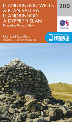
Llandrindod Wells, Elan Valley and Rhayader area on a detailed topographic and GPS compatible map No. 200, paper version, from the Ordnance Survey’s 1:25,000 Explorer series. MOBILE DOWNLOADS: this title and all the other OS Explorer maps include a code for downloading after purchase the digital version onto your smartphone or tablet for viewing on
Knighton & Presteigne – Kington & Hay-on-Wye OS Explorer Map 201 (paper)
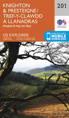
Knighton, Presteigne, Kington and Hay-on-Wye area on a detailed topographic and GPS compatible map No. 201, paper version, from the Ordnance Survey’s 1:25,000 Explorer series. MOBILE DOWNLOADS: this title and all the other OS Explorer maps include a code for downloading after purchase the digital version onto your smartphone or tablet for viewing on the
Leominster & Bromyard – Hereford North OS Explorer Map 202 (paper)
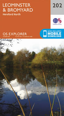
Leominster, Bromyard and Hereford North area on a detailed topographic and GPS compatible map No. 202, paper version, from the Ordnance Survey’s 1:25,000 Explorer series.MOBILE DOWNLOADS: this title and all the other OS Explorer maps include a code for downloading after purchase the digital version onto your smartphone or tablet for viewing on the OS
Llandovery, Llanwrtyd Wells & Llyn Brianne OS Explorer Map 187 (paper)
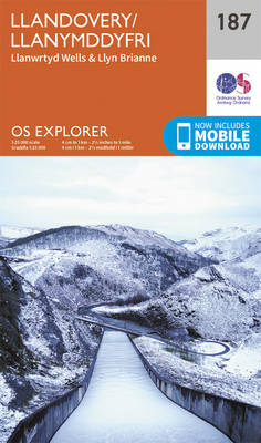
Llandovery, Llanwrtyd Wells and Llyn Brianne area on a detailed topographic and GPS compatible map No. 187, paper version, from the Ordnance Survey’s 1:25,000 Explorer series. MOBILE DOWNLOADS: this title and all the other OS Explorer maps include a code for downloading after purchase the digital version onto your smartphone or tablet for viewing on
Ludlow – Tenbury Wells & Cleobury Mortimer OS Explorer Map 203 (paper)
Ludlow, Tenbury Wells and Cleobury Mortimer area on a detailed topographic and GPS compatible map No. 203, paper version, from the Ordnance Survey’s 1:25,000 Explorer series. MOBILE DOWNLOADS: this title and all the other OS Explorer maps include a code for downloading after purchase the digital version onto your smartphone or tablet for viewing on
Chiltern Hills East – High Wycombe, Maidenhead & Rickmansworth OS Explorer Map 172 (paper)

Chiltern Hills East: High Wycombe, Maidenhead and Rickmansworth area on a detailed topographic and GPS compatible map No. 172, paper version, from the Ordnance Survey’s 1:25,000 Explorer series.MOBILE DOWNLOADS: this title and all the other OS Explorer maps include a code for downloading after purchase the digital version onto your smartphone or tablet for viewing
London North: The City, West End, Enfield, Ealing, Harrow & Watford OS Explorer Map 173 (paper)

London North: The City, West End, Enfield, Ealing, Harrow and Watford area on a detailed topographic and GPS compatible map No. 173, paper version, from the Ordnance Survey’s 1:25,000 Explorer series. MOBILE DOWNLOADS: this title and all the other OS Explorer maps include a code for downloading after purchase the digital version onto your smartphone
Epping Forest & Lee Valley – Hertford & Harlow OS Explorer Map 174 (paper)
Epping Forest, Lee Valley, Hertford and Harlow area on a detailed topographic and GPS compatible map No. 174, paper version, from the Ordnance Survey’s 1:25,000 Explorer series.MOBILE DOWNLOADS: this title and all the other OS Explorer maps include a code for downloading after purchase the digital version onto your smartphone or tablet for viewing on
Southend-on-Sea & Basildon – Brentwood & Billericay OS Explorer Map 175 (paper)

Southend-on-Sea, Basildon, Brentwood and Billericay area on a detailed topographic and GPS compatible map No. 175, paper version, from the Ordnance Survey’s 1:25,000 Explorer series. MOBILE DOWNLOADS: this title and all the other OS Explorer maps include a code for downloading after purchase the digital version onto your smartphone or tablet for viewing on the
Blackwater Estuary: Maldon, Burnham-on-Crouch & Southend-on-Sea OS Explorer Map 176 (paper)
Blackwater Estuary: Maldon, Burnham-on-Crouch and Southend-on-Sea area on a detailed topographic and GPS compatible map No. 176, paper version, from the Ordnance Survey’s 1:25,000 Explorer series. MOBILE DOWNLOADS: this title and all the other OS Explorer maps include a code for downloading after purchase the digital version onto your smartphone or tablet for viewing on
Carmarthen & Kidwelly – Pendine & Laugharne OS Explorer Map 177 (paper)
Carmarthen, Kidwelly, Pendine and Laugharne area on a detailed topographic and GPS compatible map No. 177, paper version, from the Ordnance Survey’s 1:25,000 Explorer series.MOBILE DOWNLOADS: this title and all the other OS Explorer maps include a code for downloading after purchase the digital version onto your smartphone or tablet for viewing on the OS
Llanelli & Ammanford – Kidwelly OS Explorer Map 178 (paper)
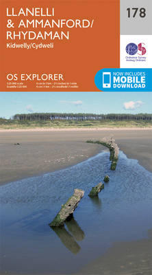
Llanelli, Ammanford and Kidwelly area on a detailed topographic and GPS compatible map No. 178, paper version, from the Ordnance Survey’s 1:25,000 Explorer series.MOBILE DOWNLOADS: this title and all the other OS Explorer maps include a code for downloading after purchase the digital version onto your smartphone or tablet for viewing on the OS smartphone
Gloucester, Cheltenham & Stroud OS Explorer Map 179 (paper)
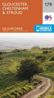
Gloucester, Cheltenham and Stroud area on a detailed topographic and GPS compatible map No. 179, paper version, from the Ordnance Survey’s 1:25,000 Explorer series. MOBILE DOWNLOADS: this title and all the other OS Explorer maps include a code for downloading after purchase the digital version onto your smartphone or tablet for viewing on the OS
Oxford, Witney & Woodstock OS Explorer Map 180 (paper)
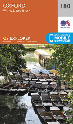
Oxford, Witney and Woodstock area on a detailed topographic and GPS compatible map No. 180, paper version, from the Ordnance Survey’s 1:25,000 Explorer series.MOBILE DOWNLOADS: this title and all the other OS Explorer maps include a code for downloading after purchase the digital version onto your smartphone or tablet for viewing on the OS smartphone
Chiltern Hills North: Aylesbury, Berkhamsted & Chesham OS Explorer Map 181 (paper)
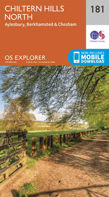
Chiltern Hills North: Aylesbury, Berkhamsted and Chesham area on a detailed topographic and GPS compatible map No. 181, paper version, from the Ordnance Survey’s 1:25,000 Explorer series. MOBILE DOWNLOADS: this title and all the other OS Explorer maps include a code for downloading after purchase the digital version onto your smartphone or tablet for viewing
St Albans & Hatfield – Hemel Hempstead & Welwyn Garden City OS Explorer Map 182 (paper)
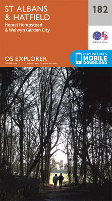
St Albans, Hatfield, Hemel Hempstead and Welwyn Garden area on a detailed topographic and GPS compatible map No. 182, paper version, from the Ordnance Survey’s 1:25,000 Explorer series. MOBILE DOWNLOADS: this title and all the other OS Explorer maps include a code for downloading after purchase the digital version onto your smartphone or tablet for
Thornbury, Dursley & Yate – Berkeley & Wotton-under-Edge OS Explorer Map 167 (paper)

Thornbury, Dursley, Yate, Berkeley and Wotton-under-Edge area on a detailed topographic and GPS compatible map No. 167, paper version, from the Ordnance Survey’s 1:25,000 Explorer series.MOBILE DOWNLOADS: this title and all the other OS Explorer maps include a code for downloading after purchase the digital version onto your smartphone or tablet for viewing on the