Category Archives: Maps
Newmarket & Haverhill – Barrow, Clare & Kedington OS Explorer Map 210 (paper)

Newmarket, Haverhill, Barrow, Clare and Kedington area on a detailed topographic and GPS compatible map No. 210, paper version, from the Ordnance Survey’s 1:25,000 Explorer series.MOBILE DOWNLOADS: this title and all the other OS Explorer maps include a code for downloading after purchase the digital version onto your smartphone or tablet for viewing on the
Peterborough – March, Whittlesey, Chatteris & Oundle OS Explorer Map 227 (paper)

Peterborough, March, Whittlesey, Chatteris and Oundle area on a detailed topographic and GPS compatible map No. 227, paper version, from the Ordnance Survey’s 1:25,000 Explorer series.MOBILE DOWNLOADS: this title and all the other OS Explorer maps include a code for downloading after purchase the digital version onto your smartphone or tablet for viewing on the
Bury St Edmunds & Stowmarket – Debenham & Elmswell OS Explorer Map 211 (paper)

Bury St Edmunds, Stowmarket, Debenham and Elmswell area on a detailed topographic and GPS compatible map No. 211, paper version, from the Ordnance Survey’s 1:25,000 Explorer series. MOBILE DOWNLOADS: this title and all the other OS Explorer maps include a code for downloading after purchase the digital version onto your smartphone or tablet for viewing
Woodbridge & Saxmundham – Aldeburgh & Framlingham OS Explorer Map 212 (paper)
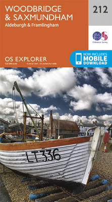
Woodbridge, Saxmundham, Aldeburgh and Framlingham area on a detailed topographic and GPS compatible map No. 212, paper version, from the Ordnance Survey’s 1:25,000 Explorer series. MOBILE DOWNLOADS: this title and all the other OS Explorer maps include a code for downloading after purchase the digital version onto your smartphone or tablet for viewing on the
Aberystwyth & Cwm Rheidol – Devil`s Bridge OS Explorer Map 213 (paper)

Aberystwyth, Cwm Rheidol and Devil`s Bridge area on a detailed topographic and GPS compatible map No. 213, paper version, from the Ordnance Survey’s 1:25,000 Explorer series. MOBILE DOWNLOADS: this title and all the other OS Explorer maps include a code for downloading after purchase the digital version onto your smartphone or tablet for viewing on
Llanidloes & Newtown – Llyn Clywedog OS Explorer Map 214 (paper)
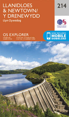
Llanidloes, Newtown and Llyn Clywedog area on a detailed topographic and GPS compatible map No. 214, paper version, from the Ordnance Survey’s 1:25,000 Explorer series. MOBILE DOWNLOADS: this title and all the other OS Explorer maps include a code for downloading after purchase the digital version onto your smartphone or tablet for viewing on the
Newtown & Machynlleth – Llanfair Caereinion OS Explorer Map 215 (paper)
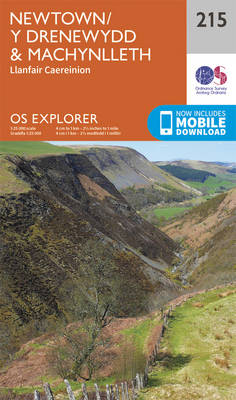
Newtown, Machynlleth and Llanfair Caereinion area on a detailed topographic and GPS compatible map No. 215, paper version, from the Ordnance Survey’s 1:25,000 Explorer series.MOBILE DOWNLOADS: this title and all the other OS Explorer maps include a code for downloading after purchase the digital version onto your smartphone or tablet for viewing on the OS
Welshpool & Montgomery – Bishop`s Castle OS Explorer Map 216 (paper)

Welshpool, Montgomery and Bishop`s Castle area on a detailed topographic and GPS compatible map No. 216, paper version, from the Ordnance Survey’s 1:25,000 Explorer series. MOBILE DOWNLOADS: this title and all the other OS Explorer maps include a code for downloading after purchase the digital version onto your smartphone or tablet for viewing on the
Knighton & Presteigne – Kington & Hay-on-Wye OS Explorer Map 201 (paper)
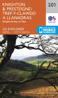
Knighton, Presteigne, Kington and Hay-on-Wye area on a detailed topographic and GPS compatible map No. 201, paper version, from the Ordnance Survey’s 1:25,000 Explorer series. MOBILE DOWNLOADS: this title and all the other OS Explorer maps include a code for downloading after purchase the digital version onto your smartphone or tablet for viewing on the
Leominster & Bromyard – Hereford North OS Explorer Map 202 (paper)
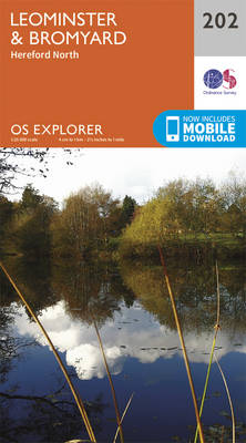
Leominster, Bromyard and Hereford North area on a detailed topographic and GPS compatible map No. 202, paper version, from the Ordnance Survey’s 1:25,000 Explorer series.MOBILE DOWNLOADS: this title and all the other OS Explorer maps include a code for downloading after purchase the digital version onto your smartphone or tablet for viewing on the OS
Llandovery, Llanwrtyd Wells & Llyn Brianne OS Explorer Map 187 (paper)
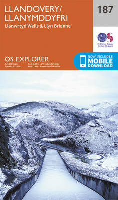
Llandovery, Llanwrtyd Wells and Llyn Brianne area on a detailed topographic and GPS compatible map No. 187, paper version, from the Ordnance Survey’s 1:25,000 Explorer series. MOBILE DOWNLOADS: this title and all the other OS Explorer maps include a code for downloading after purchase the digital version onto your smartphone or tablet for viewing on
Ludlow – Tenbury Wells & Cleobury Mortimer OS Explorer Map 203 (paper)
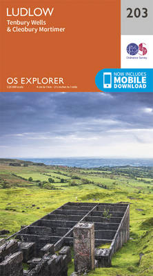
Ludlow, Tenbury Wells and Cleobury Mortimer area on a detailed topographic and GPS compatible map No. 203, paper version, from the Ordnance Survey’s 1:25,000 Explorer series. MOBILE DOWNLOADS: this title and all the other OS Explorer maps include a code for downloading after purchase the digital version onto your smartphone or tablet for viewing on
Builth Wells, Painscastle & Talgarth OS Explorer Map 188 (paper)
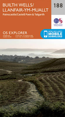
Builth Wells, Painscastle and Talgarth area on a detailed topographic and GPS compatible map No. 188, paper version, from the Ordnance Survey’s 1:25,000 Explorer series.MOBILE DOWNLOADS: this title and all the other OS Explorer maps include a code for downloading after purchase the digital version onto your smartphone or tablet for viewing on the OS
Worcester & Droitwich Spa OS Explorer Map 204 (paper)
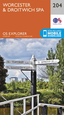
Worcester and Droitwich Spa area on a detailed topographic and GPS compatible map No. 204, paper version, from the Ordnance Survey’s 1:25,000 Explorer series. MOBILE DOWNLOADS: this title and all the other OS Explorer maps include a code for downloading after purchase the digital version onto your smartphone or tablet for viewing on the OS
Hereford & Ross-on-Wye OS Explorer Map 189 (paper)
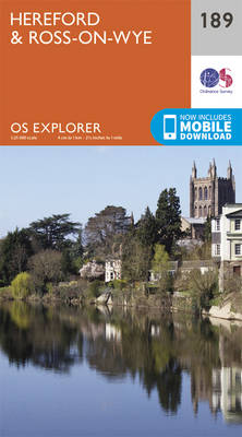
Hereford and Ross-on-Wye area on a detailed topographic and GPS compatible map No. 189, paper version, from the Ordnance Survey’s 1:25,000 Explorer series. MOBILE DOWNLOADS: this title and all the other OS Explorer maps include a code for downloading after purchase the digital version onto your smartphone or tablet for viewing on the OS smartphone
Stratford-upon-Avon & Evesham – Alcester OS Explorer Map 205 (paper)
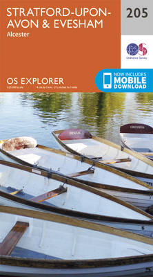
Stratford-upon-Avon, Evesham and Alcester area on a detailed topographic and GPS compatible map No. 205, paper version, from the Ordnance Survey’s 1:25,000 Explorer series. MOBILE DOWNLOADS: this title and all the other OS Explorer maps include a code for downloading after purchase the digital version onto your smartphone or tablet for viewing on the OS
Malvern Hills & Bredon Hill – Tewkesbury, Ledbury, Pershore & Upton upon Severn OS Explorer Map 190 (paper)
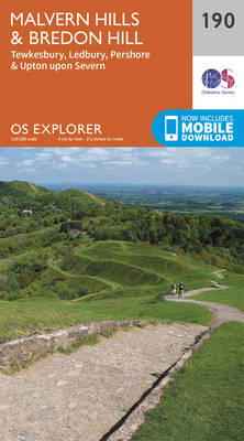
Malvern Hills, Bredon Hill, Tewkesbury, Ledbury, Pershore and Upton upon Severn area on a detailed topographic and GPS compatible map No. 190, paper version, from the Ordnance Survey’s 1:25,000 Explorer series. MOBILE DOWNLOADS: this title and all the other OS Explorer maps include a code for downloading after purchase the digital version onto your smartphone
Edge Hill & Fenny Compton – Badby, Kineton & Middle Tysoe OS Explorer Map 206 (paper)
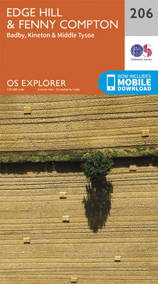
Edge Hill, Fenny Compton, Badby, Kineton and Middle Tysoe area on a detailed topographic and GPS compatible map No. 206, paper version, from the Ordnance Survey’s 1:25,000 Explorer series. MOBILE DOWNLOADS: this title and all the other OS Explorer maps include a code for downloading after purchase the digital version onto your smartphone or tablet
Banbury, Bicester & Chipping Norton – Brackley OS Explorer Map 191 (paper)
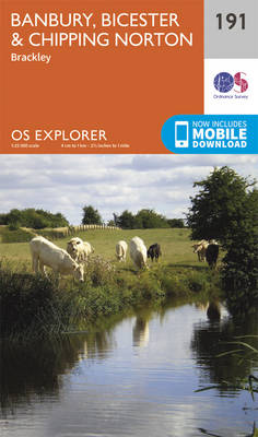
Banbury, Bicester, Chipping Norton and Brackley area on a detailed topographic and GPS compatible map No. 191, paper version, from the Ordnance Survey’s 1:25,000 Explorer series.MOBILE DOWNLOADS: this title and all the other OS Explorer maps include a code for downloading after purchase the digital version onto your smartphone or tablet for viewing on the
Buckingham & Milton Keynes – Leighton Buzzard & Woburn OS Explorer Map 192 (paper)

Buckingham, Milton Keynes, Leighton Buzzard and Woburn area on a detailed topographic and GPS compatible map No. 192, paper version, from the Ordnance Survey’s 1:25,000 Explorer series. MOBILE DOWNLOADS: this title and all the other OS Explorer maps include a code for downloading after purchase the digital version onto your smartphone or tablet for viewing