Category Archives: Maps
Boston – Tattershall, Billinghay & Heckington OS Explorer Map 261 (paper)
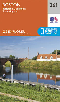
Boston, Tattershall, Billinghay and Heckington area on a detailed topographic and GPS compatible map No. 261, paper version, from the Ordnance Survey’s 1:25,000 Explorer series.MOBILE DOWNLOADS: this title and all the other OS Explorer maps include a code for downloading after purchase the digital version onto your smartphone or tablet for viewing on the OS
Anglesey West – Holyhead OS Explorer Map 262 (paper)

Anglesey West and Holyhead area on a detailed topographic and GPS compatible map No. 262, paper version, from the Ordnance Survey’s 1:25,000 Explorer series.MOBILE DOWNLOADS: this title and all the other OS Explorer maps include a code for downloading after purchase the digital version onto your smartphone or tablet for viewing on the OS smartphone
Anglesey East – Beaumaris, Amlwch & Menai Bridge OS Explorer Map 263 (paper)

Anglesey East, Beaumaris, Amlwch and Menai Bridge area on a detailed topographic and GPS compatible map No. 263, paper version, from the Ordnance Survey’s 1:25,000 Explorer series. MOBILE DOWNLOADS: this title and all the other OS Explorer maps include a code for downloading after purchase the digital version onto your smartphone or tablet for viewing
Vale of Clwyd – Rhyl, Denbigh & Ruthin OS Explorer Map 264 (paper)

Vale of Clwyd, Rhyl, Denbigh and Ruthin area on a detailed topographic and GPS compatible map No. 264, paper version, from the Ordnance Survey’s 1:25,000 Explorer series. MOBILE DOWNLOADS: this title and all the other OS Explorer maps include a code for downloading after purchase the digital version onto your smartphone or tablet for viewing
Spalding & Holbeach – Long Sutton & Kirton OS Explorer Map 249 (paper)
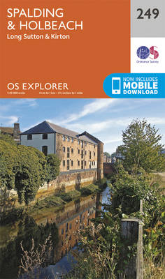
Spalding, Holbeach, Long Sutton and Kirton area on a detailed topographic and GPS compatible map No. 249, paper version, from the Ordnance Survey’s 1:25,000 Explorer series.MOBILE DOWNLOADS: this title and all the other OS Explorer maps include a code for downloading after purchase the digital version onto your smartphone or tablet for viewing on the
Clwydian Range – Prestatyn, Mold & Ruthin OS Explorer Map 265 (paper)

Clwydian Range, Prestatyn, Mold and Ruthin area on a detailed topographic and GPS compatible map No. 265, paper version, from the Ordnance Survey’s 1:25,000 Explorer series. MOBILE DOWNLOADS: this title and all the other OS Explorer maps include a code for downloading after purchase the digital version onto your smartphone or tablet for viewing on
Norfolk Coast West – King`s Lynn & Hunstanton OS Explorer Map 250 (paper)
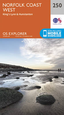
Norfolk Coast West, King`s Lynn and Hunstanton area on a detailed topographic and GPS compatible map No. 250, paper version, from the Ordnance Survey’s 1:25,000 Explorer series.MOBILE DOWNLOADS: this title and all the other OS Explorer maps include a code for downloading after purchase the digital version onto your smartphone or tablet for viewing on
Wirral & Chester OS Explorer Map 266 (paper)

The Wirral and Chester area on a detailed topographic and GPS compatible map No. 266, paper version, from the Ordnance Survey’s 1:25,000 Explorer series.MOBILE DOWNLOADS: this title and all the other OS Explorer maps include a code for downloading after purchase the digital version onto your smartphone or tablet for viewing on the OS smartphone
Rutland Water – Stamford & Oakham OS Explorer Map 234 (paper)

Rutland Water, Stamford and Oakham area on a detailed topographic and GPS compatible map No. 234, paper version, from the Ordnance Survey’s 1:25,000 Explorer series. MOBILE DOWNLOADS: this title and all the other OS Explorer maps include a code for downloading after purchase the digital version onto your smartphone or tablet for viewing on the
Wisbech & Peterborough North – Market Deeping & Crowland OS Explorer Map 235 (paper)

Wisbech, Peterborough North, Market Deeping and Crowland area on a detailed topographic and GPS compatible map No. 235, paper version, from the Ordnance Survey’s 1:25,000 Explorer series.MOBILE DOWNLOADS: this title and all the other OS Explorer maps include a code for downloading after purchase the digital version onto your smartphone or tablet for viewing on
King`s Lynn, Downham Market & Swaffham OS Explorer Map 236 (paper)

King`s Lynn, Downham Market and Swaffham area on a detailed topographic and GPS compatible map No. 236, paper version, from the Ordnance Survey’s 1:25,000 Explorer series. MOBILE DOWNLOADS: this title and all the other OS Explorer maps include a code for downloading after purchase the digital version onto your smartphone or tablet for viewing on
Norwich – Wymondham, Attleborough & Watton OS Explorer Map 237 (paper)

Norwich, Wymondham, Attleborough and Watton area on a detailed topographic and GPS compatible map No. 237, paper version, from the Ordnance Survey’s 1:25,000 Explorer series. MOBILE DOWNLOADS: this title and all the other OS Explorer maps include a code for downloading after purchase the digital version onto your smartphone or tablet for viewing on the
Dereham & Aylsham – Castle Acre & Reepham OS Explorer Map 238 (paper)

Dereham, Aylsham, Castle Acre and Reepham area on a detailed topographic and GPS compatible map No. 238, paper version, from the Ordnance Survey’s 1:25,000 Explorer series. MOBILE DOWNLOADS: this title and all the other OS Explorer maps include a code for downloading after purchase the digital version onto your smartphone or tablet for viewing on
Lake Vyrnwy & Llanfyllin – Tanat Valley OS Explorer Map 239 (paper)

Lake Vyrnwy, Llanfyllin and Tanat Valley area on a detailed topographic and GPS compatible map No. 239, paper version, from the Ordnance Survey’s 1:25,000 Explorer series. MOBILE DOWNLOADS: this title and all the other OS Explorer maps include a code for downloading after purchase the digital version onto your smartphone or tablet for viewing on
Oswestry – Chirk, Ellesmere & Pant OS Explorer Map 240 (paper)
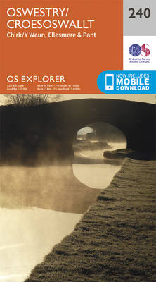
Oswestry, Chirk, Ellesmere and Pant area on a detailed topographic and GPS compatible map No. 240, paper version, from the Ordnance Survey’s 1:25,000 Explorer series.MOBILE DOWNLOADS: this title and all the other OS Explorer maps include a code for downloading after purchase the digital version onto your smartphone or tablet for viewing on the OS
Shrewsbury – Wem, Shawbury & Baschurch OS Explorer Map 241 (paper)

Shrewsbury, Wem, Shawbury and Baschurch area on a detailed topographic and GPS compatible map No. 241, paper version, from the Ordnance Survey’s 1:25,000 Explorer series. MOBILE DOWNLOADS: this title and all the other OS Explorer maps include a code for downloading after purchase the digital version onto your smartphone or tablet for viewing on the
Telford, Ironbridge & The Wrekin OS Explorer Map 242 (paper)
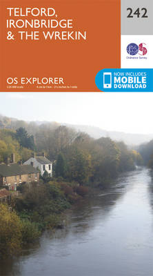
Telford, Ironbridge and The Wrekin area on a detailed topographic and GPS compatible map No. 242, paper version, from the Ordnance Survey’s 1:25,000 Explorer series. MOBILE DOWNLOADS: this title and all the other OS Explorer maps include a code for downloading after purchase the digital version onto your smartphone or tablet for viewing on the
Market Drayton – Loggerheads & Eccleshall OS Explorer 243

Market Drayton, Loggerheads and Eccleshall area on a detailed topographic and GPS compatible map No. 243, paper version, from the Ordnance Survey’s 1:25,000 Explorer series.MOBILE DOWNLOADS: this title and all the other OS Explorer maps include a code for downloading after purchase the digital version onto your smartphone or tablet for viewing on the OS
March & Ely – Chatteris, Littleport, Welney & Denver Sluice OS Explorer Map 228 (paper)

March, Ely, Chatteris, Littleport, Welney and Denver Sluice area on a detailed topographic and GPS compatible map No. 228, paper version, from the Ordnance Survey’s 1:25,000 Explorer series.MOBILE DOWNLOADS: this title and all the other OS Explorer maps include a code for downloading after purchase the digital version onto your smartphone or tablet for viewing
Cannock Chase & Chasewater – Stafford, Rugeley & Cannock OS Explorer Map 244 (paper)
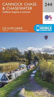
Cannock Chase, Chasewater, Stafford, Rugeley and Cannock area on a detailed topographic and GPS compatible map No. 244, paper version, from the Ordnance Survey’s 1:25,000 Explorer series.MOBILE DOWNLOADS: this title and all the other OS Explorer maps include a code for downloading after purchase the digital version onto your smartphone or tablet for viewing on