Category Archives: Maps
Chesterfield & Alfreton – Sutton in Ashfield & Bolsover OS Explorer Map 269 (paper)
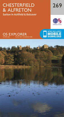
Chesterfield, Alfreton, Sutton in Ashfield and Bolsover area on a detailed topographic and GPS compatible map No. 269, paper version, from the Ordnance Survey’s 1:25,000 Explorer series.MOBILE DOWNLOADS: this title and all the other OS Explorer maps include a code for downloading after purchase the digital version onto your smartphone or tablet for viewing on
Southport & Chorley – Wigan, Formby & Ormskirk OS Explorer Map 285 (paper)
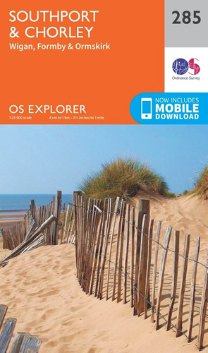
Southport, Chorley, Wigan, Formby and Ormskirk area on a detailed topographic and GPS compatible map No. 285, paper version, from the Ordnance Survey’s 1:25,000 Explorer series.MOBILE DOWNLOADS: this title and all the other OS Explorer maps include a code for downloading after purchase the digital version onto your smartphone or tablet for viewing on the
Sherwood Forest – Mansfield, Worksop & Edwinstowe OS Explorer Map 270 (paper)
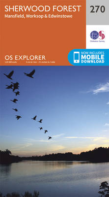
Sherwood Forest, Mansfield, Worksop and Edwinstowe area on a detailed topographic and GPS compatible map No. 270, paper version, from the Ordnance Survey’s 1:25,000 Explorer series. MOBILE DOWNLOADS: this title and all the other OS Explorer maps include a code for downloading after purchase the digital version onto your smartphone or tablet for viewing on
Blackpool & Preston – Lytham St Anne`s & Leyland OS Explorer Map 286 (paper)

Blackpool, Preston, Lytham St Anne`s and Leyland area on a detailed topographic and GPS compatible map No. 286, paper version, from the Ordnance Survey’s 1:25,000 Explorer series.MOBILE DOWNLOADS: this title and all the other OS Explorer maps include a code for downloading after purchase the digital version onto your smartphone or tablet for viewing on
Newark-on-Trent – Retford, Southwell & Saxilby OS Explorer Map 271 (paper)

Newark-on-Trent, Retford, Southwell and Saxilby area on a detailed topographic and GPS compatible map No. 271, paper version, from the Ordnance Survey’s 1:25,000 Explorer series. MOBILE DOWNLOADS: this title and all the other OS Explorer maps include a code for downloading after purchase the digital version onto your smartphone or tablet for viewing on the
West Pennine Moors – Blackburn, Darwen & Accrington OS Explorer Map 287 (paper)

West Pennine Moors, Blackburn, Darwen and Accrington area on a detailed topographic and GPS compatible map No. 287, paper version, from the Ordnance Survey’s 1:25,000 Explorer series.MOBILE DOWNLOADS: this title and all the other OS Explorer maps include a code for downloading after purchase the digital version onto your smartphone or tablet for viewing on
Lincoln – Sleaford, Metheringham & Navenby OS Explorer Map 272 (paper)

Lincoln, Sleaford, Metheringham and Navenby area on a detailed topographic and GPS compatible map No. 272, paper version, from the Ordnance Survey’s 1:25,000 Explorer series.MOBILE DOWNLOADS: this title and all the other OS Explorer maps include a code for downloading after purchase the digital version onto your smartphone or tablet for viewing on the OS
Bradford & Huddersfield – East Calderdale OS Explorer Map 288 (paper)

West Bradford, Huddersfield and East Calderdale area on a detailed topographic and GPS compatible map No. 288, paper version, from the Ordnance Survey’s 1:25,000 Explorer series. Publication date September 2015.MOBILE DOWNLOADS: this title and all the other OS Explorer maps include a code for downloading after purchase the digital version onto your smartphone or tablet
Crewe & Nantwich – Whitchurch & Tattenhall OS Explorer Map 257 (paper)
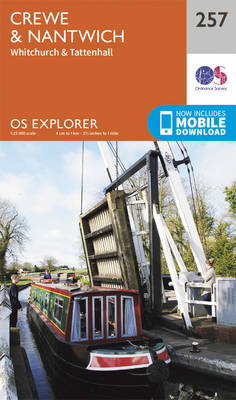
Crewe, Nantwich, Whitchurch and Tattenhall area on a detailed topographic and GPS compatible map No. 257, paper version, from the Ordnance Survey’s 1:25,000 Explorer series. MOBILE DOWNLOADS: this title and all the other OS Explorer maps include a code for downloading after purchase the digital version onto your smartphone or tablet for viewing on the
Stoke-on-Trent & Newcastle-under-Lyme – Biddulph & Stone OS Explorer Map 258 (paper)
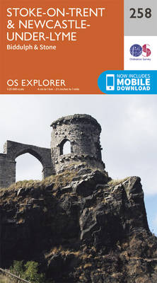
Stoke-on-Trent, Newcastle-under-Lyme, Biddulph and Stone area on a detailed topographic and GPS compatible map No. 258, paper version, from the Ordnance Survey’s 1:25,000 Explorer series.MOBILE DOWNLOADS: this title and all the other OS Explorer maps include a code for downloading after purchase the digital version onto your smartphone or tablet for viewing on the OS
Derby – Uttoxeter, Ashbourne & Cheadle OS Explorer Map 259 (paper)

Derby, Uttoxeter, Ashbourne and Cheadle area on a detailed topographic and GPS compatible map No. 259, paper version, from the Ordnance Survey’s 1:25,000 Explorer series.MOBILE DOWNLOADS: this title and all the other OS Explorer maps include a code for downloading after purchase the digital version onto your smartphone or tablet for viewing on the OS
Nottingham – Vale of Belvoir OS Explorer Map 260 (paper)
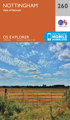
Nottingham and the Vale of Belvoir area on a detailed topographic and GPS compatible map No. 260, paper version, from the Ordnance Survey’s 1:25,000 Explorer series.MOBILE DOWNLOADS: this title and all the other OS Explorer maps include a code for downloading after purchase the digital version onto your smartphone or tablet for viewing on the
Boston – Tattershall, Billinghay & Heckington OS Explorer Map 261 (paper)
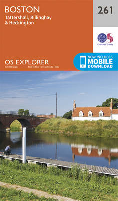
Boston, Tattershall, Billinghay and Heckington area on a detailed topographic and GPS compatible map No. 261, paper version, from the Ordnance Survey’s 1:25,000 Explorer series.MOBILE DOWNLOADS: this title and all the other OS Explorer maps include a code for downloading after purchase the digital version onto your smartphone or tablet for viewing on the OS
Anglesey West – Holyhead OS Explorer Map 262 (paper)

Anglesey West and Holyhead area on a detailed topographic and GPS compatible map No. 262, paper version, from the Ordnance Survey’s 1:25,000 Explorer series.MOBILE DOWNLOADS: this title and all the other OS Explorer maps include a code for downloading after purchase the digital version onto your smartphone or tablet for viewing on the OS smartphone
Anglesey East – Beaumaris, Amlwch & Menai Bridge OS Explorer Map 263 (paper)

Anglesey East, Beaumaris, Amlwch and Menai Bridge area on a detailed topographic and GPS compatible map No. 263, paper version, from the Ordnance Survey’s 1:25,000 Explorer series. MOBILE DOWNLOADS: this title and all the other OS Explorer maps include a code for downloading after purchase the digital version onto your smartphone or tablet for viewing
Vale of Clwyd – Rhyl, Denbigh & Ruthin OS Explorer Map 264 (paper)
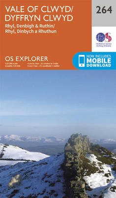
Vale of Clwyd, Rhyl, Denbigh and Ruthin area on a detailed topographic and GPS compatible map No. 264, paper version, from the Ordnance Survey’s 1:25,000 Explorer series. MOBILE DOWNLOADS: this title and all the other OS Explorer maps include a code for downloading after purchase the digital version onto your smartphone or tablet for viewing
Spalding & Holbeach – Long Sutton & Kirton OS Explorer Map 249 (paper)
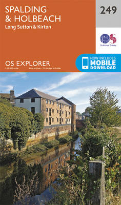
Spalding, Holbeach, Long Sutton and Kirton area on a detailed topographic and GPS compatible map No. 249, paper version, from the Ordnance Survey’s 1:25,000 Explorer series.MOBILE DOWNLOADS: this title and all the other OS Explorer maps include a code for downloading after purchase the digital version onto your smartphone or tablet for viewing on the
Clwydian Range – Prestatyn, Mold & Ruthin OS Explorer Map 265 (paper)
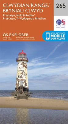
Clwydian Range, Prestatyn, Mold and Ruthin area on a detailed topographic and GPS compatible map No. 265, paper version, from the Ordnance Survey’s 1:25,000 Explorer series. MOBILE DOWNLOADS: this title and all the other OS Explorer maps include a code for downloading after purchase the digital version onto your smartphone or tablet for viewing on
Norfolk Coast West – King`s Lynn & Hunstanton OS Explorer Map 250 (paper)
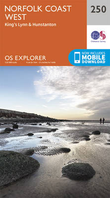
Norfolk Coast West, King`s Lynn and Hunstanton area on a detailed topographic and GPS compatible map No. 250, paper version, from the Ordnance Survey’s 1:25,000 Explorer series.MOBILE DOWNLOADS: this title and all the other OS Explorer maps include a code for downloading after purchase the digital version onto your smartphone or tablet for viewing on
Wirral & Chester OS Explorer Map 266 (paper)

The Wirral and Chester area on a detailed topographic and GPS compatible map No. 266, paper version, from the Ordnance Survey’s 1:25,000 Explorer series.MOBILE DOWNLOADS: this title and all the other OS Explorer maps include a code for downloading after purchase the digital version onto your smartphone or tablet for viewing on the OS smartphone