Category Archives: Maps
Bridlington, Driffield & Hornsea OS Explorer Map 295 (paper)
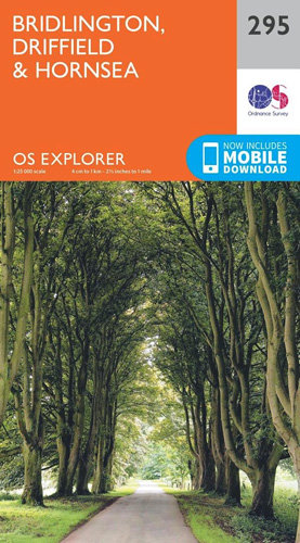
Bridlington, Driffield and Hornsea area on a detailed topographic and GPS compatible map No. 295, paper version, from the Ordnance Survey’s 1:25,000 Explorer series.MOBILE DOWNLOADS: this title and all the other OS Explorer maps include a code for downloading after purchase the digital version onto your smartphone or tablet for viewing on the OS smartphone
Lancaster, Morecambe & Fleetwood OS Explorer Map 296 (paper)
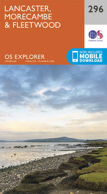
Lancaster, Morecambe and Fleetwood area on a detailed topographic and GPS compatible map No. 296, paper version, from the Ordnance Survey’s 1:25,000 Explorer series. MOBILE DOWNLOADS: this title and all the other OS Explorer maps include a code for downloading after purchase the digital version onto your smartphone or tablet for viewing on the OS
Lower Wharfedale & Washburn Valley – Harrogate & Ilkley Moor OS Explorer Map 297 (paper)
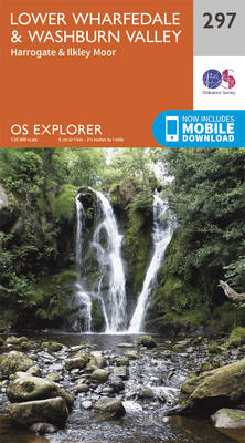
Lower Wharfedale, Washburn Valley, Harrogate and Ilkley Moor area on a detailed topographic and GPS compatible map No. 297, paper version, from the Ordnance Survey’s 1:25,000 Explorer series. MOBILE DOWNLOADS: this title and all the other OS Explorer maps include a code for downloading after purchase the digital version onto your smartphone or tablet for
Nidderdale – Fountains Abbey, Ripon & Pateley Bridge OS Explorer Map 298 (paper)
Nidderdale, Fountains Abbey, Ripon and Pateley Bridge area on a detailed topographic and GPS compatible map No. 298, paper version, from the Ordnance Survey’s 1:25,000 Explorer series. MOBILE DOWNLOADS: this title and all the other OS Explorer maps include a code for downloading after purchase the digital version onto your smartphone or tablet for viewing
Ripon & Boroughbridge – Easingwold OS Explorer Map 299 (paper)
Ripon, Boroughbridge and Easingwold area on a detailed topographic and GPS compatible map No. 299, paper version, from the Ordnance Survey’s 1:25,000 Explorer series.MOBILE DOWNLOADS: this title and all the other OS Explorer maps include a code for downloading after purchase the digital version onto your smartphone or tablet for viewing on the OS smartphone
Howardian Hills & Malton – Yorkshire Wolds North OS Explorer Map 300 (paper)
Howardian Hills, Malton and Yorkshire Wolds North area on a detailed topographic and GPS compatible map No. 300, paper version, from the Ordnance Survey’s 1:25,000 Explorer series.MOBILE DOWNLOADS: this title and all the other OS Explorer maps include a code for downloading after purchase the digital version onto your smartphone or tablet for viewing on
Scarborough, Bridlington & Flamborough Head OS Explorer Map 301 (paper)

Scarborough, Bridlington and Flamborough Head area on a detailed topographic and GPS compatible map No. 301, paper version, from the Ordnance Survey’s 1:25,000 Explorer series.MOBILE DOWNLOADS: this title and all the other OS Explorer maps include a code for downloading after purchase the digital version onto your smartphone or tablet for viewing on the OS
Northallerton & Thirsk – Catterick & Bedale OS Explorer Map 302 (paper)
Northallerton, Thirsk, Catterick and Bedale area on a detailed topographic and GPS compatible map No. 302, paper version, from the Ordnance Survey’s 1:25,000 Explorer series.MOBILE DOWNLOADS: this title and all the other OS Explorer maps include a code for downloading after purchase the digital version onto your smartphone or tablet for viewing on the OS
Newark-on-Trent – Retford, Southwell & Saxilby OS Explorer Map 271 (paper)

Newark-on-Trent, Retford, Southwell and Saxilby area on a detailed topographic and GPS compatible map No. 271, paper version, from the Ordnance Survey’s 1:25,000 Explorer series. MOBILE DOWNLOADS: this title and all the other OS Explorer maps include a code for downloading after purchase the digital version onto your smartphone or tablet for viewing on the
West Pennine Moors – Blackburn, Darwen & Accrington OS Explorer Map 287 (paper)

West Pennine Moors, Blackburn, Darwen and Accrington area on a detailed topographic and GPS compatible map No. 287, paper version, from the Ordnance Survey’s 1:25,000 Explorer series.MOBILE DOWNLOADS: this title and all the other OS Explorer maps include a code for downloading after purchase the digital version onto your smartphone or tablet for viewing on
Lincoln – Sleaford, Metheringham & Navenby OS Explorer Map 272 (paper)

Lincoln, Sleaford, Metheringham and Navenby area on a detailed topographic and GPS compatible map No. 272, paper version, from the Ordnance Survey’s 1:25,000 Explorer series.MOBILE DOWNLOADS: this title and all the other OS Explorer maps include a code for downloading after purchase the digital version onto your smartphone or tablet for viewing on the OS
Bradford & Huddersfield – East Calderdale OS Explorer Map 288 (paper)

West Bradford, Huddersfield and East Calderdale area on a detailed topographic and GPS compatible map No. 288, paper version, from the Ordnance Survey’s 1:25,000 Explorer series. Publication date September 2015.MOBILE DOWNLOADS: this title and all the other OS Explorer maps include a code for downloading after purchase the digital version onto your smartphone or tablet
Lincolnshire Wolds South – Horncastle & Woodhall Spa OS Explorer Map 273 (paper)

Lincolnshire Wolds South, Horncastle and Woodhall Spa area on a detailed topographic and GPS compatible map No. 273, paper version, from the Ordnance Survey’s 1:25,000 Explorer series.MOBILE DOWNLOADS: this title and all the other OS Explorer maps include a code for downloading after purchase the digital version onto your smartphone or tablet for viewing on
Skegness, Alford & Spilsby – Chapel St Leonards & Wainfleet All Saints OS Explorer Map 274 (paper)
Skegness, Alford, Spilsby, Chapel St Leonards and Wainfleet All Saints area on a detailed topographic and GPS compatible map No. 274, paper version, from the Ordnance Survey’s 1:25,000 Explorer series.MOBILE DOWNLOADS: this title and all the other OS Explorer maps include a code for downloading after purchase the digital version onto your smartphone or tablet
Liverpool – St Helens, Widnes & Runcorn OS Explorer Map 275 (paper)

Liverpool, St Helens, Widnes and Runcorn area on a detailed topographic and GPS compatible map No. 275, paper version, from the Ordnance Survey’s 1:25,000 Explorer series. MOBILE DOWNLOADS: this title and all the other OS Explorer maps include a code for downloading after purchase the digital version onto your smartphone or tablet for viewing on
Bolton, Wigan & Warrington OS Explorer Map 276 (paper)
Bolton, Wigan and Warrington area on a detailed topographic and GPS compatible map No. 276, paper version, from the Ordnance Survey’s 1:25,000 Explorer series.MOBILE DOWNLOADS: this title and all the other OS Explorer maps include a code for downloading after purchase the digital version onto your smartphone or tablet for viewing on the OS smartphone
Manchester & Salford – Oldham, Rochdale & Stockport OS Explorer Map 277 (paper)

Manchester, Salford, Oldham, Rochdale and Stockport area on a detailed topographic and GPS compatible map No. 277, paper version, from the Ordnance Survey’s 1:25,000 Explorer series.MOBILE DOWNLOADS: this title and all the other OS Explorer maps include a code for downloading after purchase the digital version onto your smartphone or tablet for viewing on the
Sheffield & Barnsley – Rotherham OS Explorer Map 278 (paper)
Sheffield, Barnsley and Rotherham area on a detailed topographic and GPS compatible map No. 278, paper version, from the Ordnance Survey’s 1:25,000 Explorer series.MOBILE DOWNLOADS: this title and all the other OS Explorer maps include a code for downloading after purchase the digital version onto your smartphone or tablet for viewing on the OS smartphone
Doncaster – Conisbrough, Maltby & Thorne OS Explorer Map 279 (paper)
Doncaster, Conisbrough, Maltby and Thorne area on a detailed topographic and GPS compatible map No. 279, paper version, from the Ordnance Survey’s 1:25,000 Explorer series. MOBILE DOWNLOADS: this title and all the other OS Explorer maps include a code for downloading after purchase the digital version onto your smartphone or tablet for viewing on the
Isle of Axholme, Scunthorpe & Gainsborough OS Explorer Map 280 (paper)

Isle of Axholme, Scunthorpe and Gainsborough area on a detailed topographic and GPS compatible map No. 280, paper version, from the Ordnance Survey’s 1:25,000 Explorer series. MOBILE DOWNLOADS: this title and all the other OS Explorer maps include a code for downloading after purchase the digital version onto your smartphone or tablet for viewing on