Category Archives: Maps
Kirkcudbright & Castle Douglas – Gatehouse of Fleet OS Explorer Map 312 (paper)
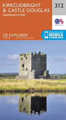
Kirkcudbright, Castle Douglas and Gatehouse of Fleet area on a detailed topographic and GPS compatible map No. 312, paper version, from the Ordnance Survey’s 1:25,000 Explorer series. MOBILE DOWNLOADS: this title and all the other OS Explorer maps include a code for downloading after purchase the digital version onto your smartphone or tablet for viewing
Lowther Hills, Sanquhar & Leadhills – Wanlockhead & Crawford OS Explorer Map 329 (paper)
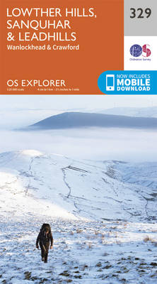
Lowther Hills, Sanquhar, Leadhills, Wanlockhead and Crawford area on a detailed topographic and GPS compatible map No. 329, paper version, from the Ordnance Survey’s 1:25,000 Explorer series.MOBILE DOWNLOADS: this title and all the other OS Explorer maps include a code for downloading after purchase the digital version onto your smartphone or tablet for viewing on
Dumfries & Dalbeattie – New Abbey & Mabie Forest OS Explorer Map 313 (paper)
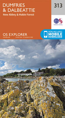
Dumfries, Dalbeattie, New Abbey and Mabie Forest area on a detailed topographic and GPS compatible map No. 313, paper version, from the Ordnance Survey’s 1:25,000 Explorer series.MOBILE DOWNLOADS: this title and all the other OS Explorer maps include a code for downloading after purchase the digital version onto your smartphone or tablet for viewing on
Solway Firth – Wigton & Silloth OS Explorer Map 314 (paper)
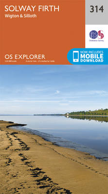
Solway Firth, Wigton and Silloth area on a detailed topographic and GPS compatible map No. 314, paper version, from the Ordnance Survey’s 1:25,000 Explorer series.MOBILE DOWNLOADS: this title and all the other OS Explorer maps include a code for downloading after purchase the digital version onto your smartphone or tablet for viewing on the OS
Carlisle – Brampton, Longtown & Gretna Green OS Explorer Map 315 (paper)
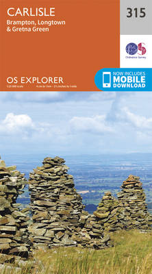
Carlisle, Brampton, Longtown and Gretna Green area on a detailed topographic and GPS compatible map No. 315, paper version, from the Ordnance Survey’s 1:25,000 Explorer series. MOBILE DOWNLOADS: this title and all the other OS Explorer maps include a code for downloading after purchase the digital version onto your smartphone or tablet for viewing on
Newcastle upon Tyne – Gateshead, South Shields, Prudhoe, Ponteland, Cramlington & Whitley Bay OS Explorer Map 316 (paper)

Newcastle upon Tyne, Gateshead, South Shields, Prudhoe, Ponteland, Cramlington and Whitley Bay area on a detailed topographic and GPS compatible map No. 316, paper version, from the Ordnance Survey’s 1:25,000 Explorer series. MOBILE DOWNLOADS: this title and all the other OS Explorer maps include a code for downloading after purchase the digital version onto your
Ballantrae, Barr & Barrhill OS Explorer Map 317 (paper)
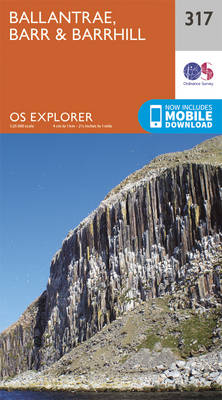
Ballantrae, Bar and Barrhill area on a detailed topographic and GPS compatible map No. 317, paper version, from the Ordnance Survey’s 1:25,000 Explorer series.MOBILE DOWNLOADS: this title and all the other OS Explorer maps include a code for downloading after purchase the digital version onto your smartphone or tablet for viewing on the OS smartphone
Galloway Forest Park North – Glen Trool, Loch Doon & St John`s Town of Dalry OS Explorer Map 318 (paper)
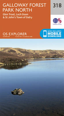
Galloway Forest Park North, Glen Trool, Loch Doon and St John`s Town of Dalry area on a detailed topographic and GPS compatible map No. 318, paper version, from the Ordnance Survey’s 1:25,000 Explorer series. MOBILE DOWNLOADS: this title and all the other OS Explorer maps include a code for downloading after purchase the digital version
Whitehaven & Workington – Cockermouth & Egremont OS Explorer Map 303 (paper)
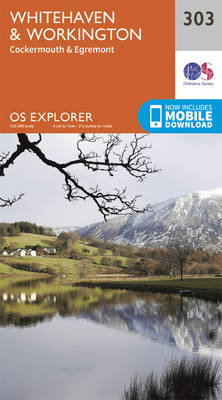
Whitehaven, Workington, Cockermouth and Egremont area on a detailed topographic and GPS compatible map No. 303, paper version, from the Ordnance Survey’s 1:25,000 Explorer series.MOBILE DOWNLOADS: this title and all the other OS Explorer maps include a code for downloading after purchase the digital version onto your smartphone or tablet for viewing on the OS
Darlington & Richmond – Egglescliffe & Gainford OS Explorer Map 304 (paper)
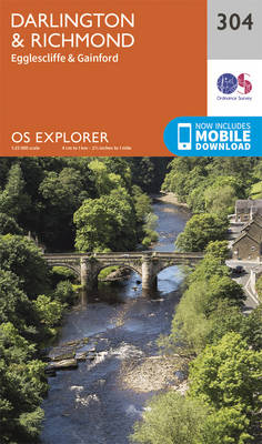
Darlington, Richmond, Egglescliffe and Gainford area on a detailed topographic and GPS compatible map No. 304, paper version, from the Ordnance Survey’s 1:25,000 Explorer series. MOBILE DOWNLOADS: this title and all the other OS Explorer maps include a code for downloading after purchase the digital version onto your smartphone or tablet for viewing on the
Leeds – Harrogate, Wetherby & Pontefract OS Explorer Map 289 (paper)
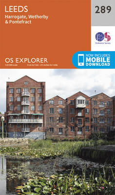
Leeds, Harrogate, Wetherby and Pontefract area on a detailed topographic and GPS compatible map No. 289, paper version, from the Ordnance Survey’s 1:25,000 Explorer series.MOBILE DOWNLOADS: this title and all the other OS Explorer maps include a code for downloading after purchase the digital version onto your smartphone or tablet for viewing on the OS
Bishop Auckland – Spennymoor, Newton Aycliffe, Sedgefield & Crook OS Explorer Map 305 (paper)
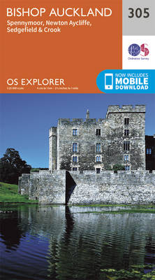
Bishop Auckland, Spennymoor, Newton Aycliffe, Sedgefield and Crook area on a detailed topographic and GPS compatible map No. 305, paper version, from the Ordnance Survey’s 1:25,000 Explorer series.MOBILE DOWNLOADS: this title and all the other OS Explorer maps include a code for downloading after purchase the digital version onto your smartphone or tablet for viewing
York – Selby & Tadcaster OS Explorer Map 290 (paper)
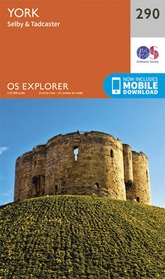
York, Selby and Tadcaster area on a detailed topographic and GPS compatible map No. 290, paper version, from the Ordnance Survey’s 1:25,000 Explorer series. MOBILE DOWNLOADS: this title and all the other OS Explorer maps include a code for downloading after purchase the digital version onto your smartphone or tablet for viewing on the OS
Middlesbrough & Hartlepool – Stockton-on-Tees & Redcar OS Explorer Map 306 (paper)
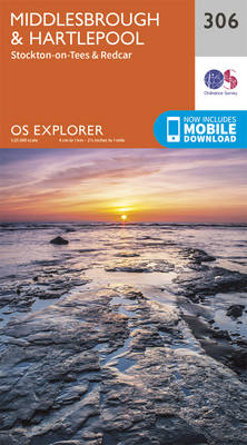
Middlesbrough, Hartlepool, Stockton-on-Tees and Redcar area on a detailed topographic and GPS compatible map No. 306, paper version, from the Ordnance Survey’s 1:25,000 Explorer series. MOBILE DOWNLOADS: this title and all the other OS Explorer maps include a code for downloading after purchase the digital version onto your smartphone or tablet for viewing on the
Goole & Gilberdyke – Holme-on-Spalding-Moor, Hemingbrough & Howden OS Explorer Map 291 (paper)
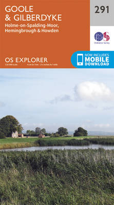
Goole, Gilberdyke, Holme-on-Spalding-Moor, Hemingbrough and Howden area on a detailed topographic and GPS compatible map No. 291, paper version, from the Ordnance Survey’s 1:25,000 Explorer series. MOBILE DOWNLOADS: this title and all the other OS Explorer maps include a code for downloading after purchase the digital version onto your smartphone or tablet for viewing on
Consett & Derwent Reservoir – Stanhope OS Explorer Map 307 (paper)
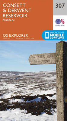
Consett, Derwent Reservoir and Stanhope area on a detailed topographic and GPS compatible map No. 307, paper version, from the Ordnance Survey’s 1:25,000 Explorer series. MOBILE DOWNLOADS: this title and all the other OS Explorer maps include a code for downloading after purchase the digital version onto your smartphone or tablet for viewing on the
Withernsea & Spurn Head OS Explorer Map 292 (paper)
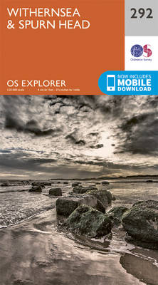
Withernsea and Spurn Head area on a detailed topographic and GPS compatible map No. 292, paper version, from the Ordnance Survey’s 1:25,000 Explorer series. MOBILE DOWNLOADS: this title and all the other OS Explorer maps include a code for downloading after purchase the digital version onto your smartphone or tablet for viewing on the OS
Durham & Sunderland – Chester-le-Street & Peterlee OS Explorer Map 308 (paper)

Durham, Sunderland, Chester-le-Street and Peterlee area on a detailed topographic and GPS compatible map No. 308, paper version, from the Ordnance Survey’s 1:25,000 Explorer series. MOBILE DOWNLOADS: this title and all the other OS Explorer maps include a code for downloading after purchase the digital version onto your smartphone or tablet for viewing on the
Kingston upon Hull & Beverley OS Explorer Map 293 (paper)

Kingston upon Hull and Beverley area on a detailed topographic and GPS compatible map No. 293, paper version, from the Ordnance Survey’s 1:25,000 Explorer series. MOBILE DOWNLOADS: this title and all the other OS Explorer maps include a code for downloading after purchase the digital version onto your smartphone or tablet for viewing on the
Market Weighton & Yorkshire Wolds Central – Pocklington OS Explorer Map 294 (paper)
Market Weighton, Central Yorkshire Wolds and Pocklington area on a detailed topographic and GPS compatible map No. 294, paper version, from the Ordnance Survey’s 1:25,000 Explorer series. MOBILE DOWNLOADS: this title and all the other OS Explorer maps include a code for downloading after purchase the digital version onto your smartphone or tablet for viewing