Category Archives: Maps
Pelion Central Terrain Editions 218
The central part of Pelion at 1:25,000 in an expanding series of maps from the Terrain Editions with information for hiking, biking, rock climbing, canyoning and trail running, printed on light, waterproof and tear-resistant plastic paper. The map covers an area extending from Volos to the other coastline, from Zaghora on the north- east to
Mt Hymettus Terrain Editions 241
Mt Hymettus on Attica south-east of Athens at 1:10,000 on a contoured and GPS compatible map in an expanding recreational series from Terrain Editions, printed on light, waterproof and tear-resistant synthetic paper. Contours are at 10m intervals. Hiking trails and local footpath are, as the areas road network annotated with distance. The map also shows
Peloponnese Terrain Editions Regional Map 6

Peloponnese at 1:200,000 on a double-sided road map from Terrain Editions, printed on light, waterproof and tear-resistant synthetic paper. Detachable index booklet includes seven street plans: Nafplio, Patra, Corinth, Kalamata, Sparta, Tripoli and Pyrgos.The map is double-sided with a very generous overlap between the sides. Topography is shown by relief shading with light altitude colouring
Epirus and Western Macedonia Terrain Editions Regional Map 3

Epirus and Western Macedonia at 1:200,000 in a series of regional road maps of Greece from Terrain Editions, printed on light, waterproof and tear-resistant synthetic paper. The map is double-sided, with a generous overlap between the sides; coverage includes Corfu, Paxos and Antipaxos, as well as many of the most popular hiking areas of the
Central Macedonia Terrain Editions Regional Map 2
Central Macedonia at 1:200,000 in a series of regional road maps of Greece from Terrain Editions, printed on light, waterproof and tear-resistant synthetic paper. The map is double-sided, with Thessaloniki on both sides, and includes coverage of the Khalkidhiki Peninsula. Topography is shown by relief shading with light altitude colouring and plenty of names of
Psara Terrain Editions 329
Psara at 1:15,000 on a contoured, GPS compatible hiking map published by Terrain Cartography group and printed on light, waterproof and tear-resistant Polyart plastic paper, with extensive tourist information.Topography is very well presented by contours, enhanced by spot heights, subtle relief shading and additional altitude colouring. Contour interval, unless indicated below to the contrary, is
Thrace and Eastern Macedonia Terrain Editions Regional Map 1

Thrace and Eastern Macedonia at 1:200,000 in a series of regional road maps of Greece from Terrain Editions, printed on light, waterproof and tear-resistant synthetic paper. The map is double-sided, with a small overlap between the sides, and included the islands of Thasos and Samothrace (Samothraki) as well as part of the Khalkidhiki Peninsula with
Samothrace Terrain Editions 324 SUPERCEDED
Samothrace at 1:25,000 on a contoured, GPS compatible hiking map published by Terrain Cartography group and printed on light, waterproof and tear-resistant Polyart plastic paper, with extensive tourist information.Topography is very well presented by contours, enhanced by spot heights, subtle relief shading and additional altitude colouring. Contour interval, unless indicated below to the contrary, is
Kimolos & Polyaigos 25K Terrain Editions Pocket Map
Greek islands of Kimolos and Polyaigos in the Cyclades on a contoured and GPS compatible pocket map at 1:25,000 from Terrain Editions. On the reverse are descriptions of two hiking trails on Kimolos and general notes on its history, sights, nature, etc, plus photos. All place names are shown in both Greek and Latin alphabet.
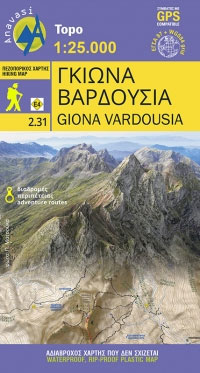
Giona – Vardousia Anavasi 2.31
Corfu – Othoni – Erikouse – Mathraki Anavasi 9.4
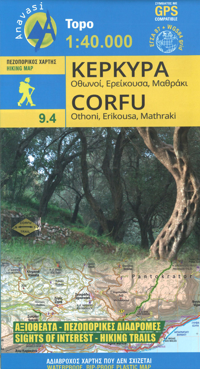
Corfu on a handy size, light, waterproof and tear-resistant, contoured and GPS compatible map at 1:40,000 from Anavasi, highlighting the course of the Corfu Trail across the whole length of the island. The map is double-sided with a narrow overlap between the sides.Landscape is shown by contours at 50m with hill shading and spot heights.
Agrafa Anavasi 2.5/4.1
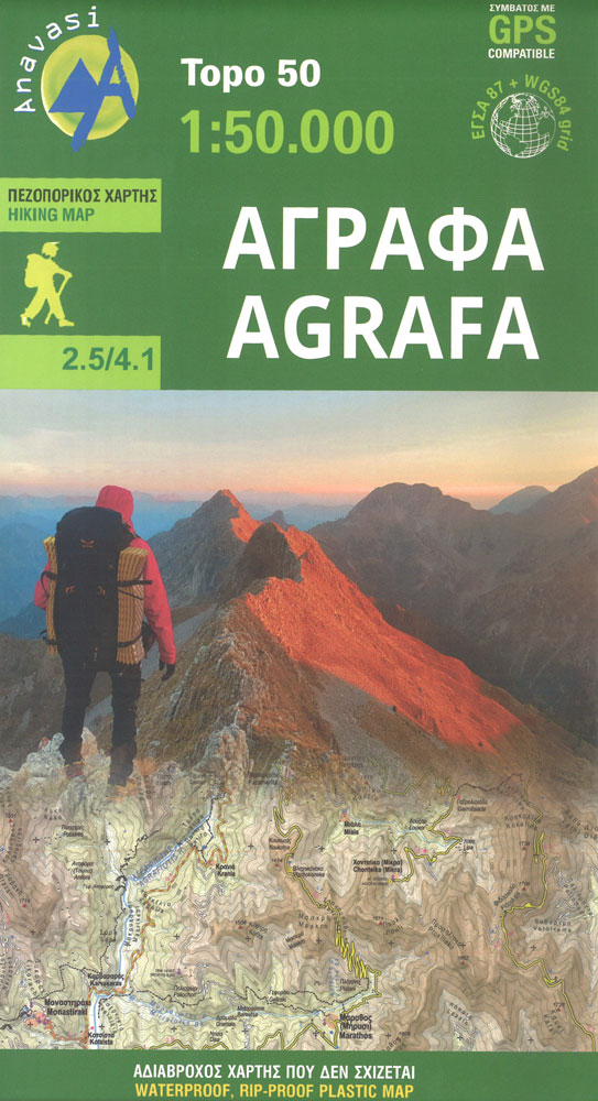
The new Agrafa map covers for the first time the entire Agrafa mountain range. Agrafa is a sea of rugged, uninhabited mountains that stun the viewer and move the climber. Amidst the daunting backdrop of aerial ridges and deep ravines, Anasavi cartographers walked and recorded small and long hikes marked on the map, and outlined
Nafpaktos – Panaitoliko – Karpenisi Anavasi 2.4
The mountains of Evritania: Velouchi, Chelidona, Kaliakouda and Panetoliko on one side, and on the other the mountainous Nafpaktia area, where Anninos, Tsekoura, Ardini and Tsakalaki . On the proposed routes you will find climbs to the tops and beautiful hikes from village to village or to a bridge, waterfall, forgotten monastery.
Lemnos Anavasi 10.30

Hiking map of Lรฉmnos island in a scale of 1:60.000A new detailed hiking map for Lรฉmnos in scale 1:60.000 by Anavasi editions with information on its monuments and beaches.Lemnos landscape, like its earth and taste are unique. Who would expect a little desert, sculpture-like geological formations, wetlands with flamingos, vineyards and endless beaches all in
Aigina / Aegina Anavasi 10.00
Aegina at 1:25,000 on light, waterproof and tear-resistant, GPS compatible and contoured map from Anavasi, with on the reverse a simplified map of the island for sightseeing and recommended hiking trails.On one side is a contoured map of the island (interval 20m), with additional altitude colouring and shading. All place names are in both Greek
Northern Agrafa – Plastira Lake Anavasi 4.1
Northern Agrafa – Plastira Lake area at 1:50,000 on a light, waterproof and tear-resistant, GPS compatible contoured map from Anavasi, including on the reverse English descriptions of nine recommended hiking trails highlighted on the map. Coverage starts west of the peaks of Karavoula (on the northern edge of the map), Karava and Delidimi, and extends
Mt Parnitha Terrain Editions 239
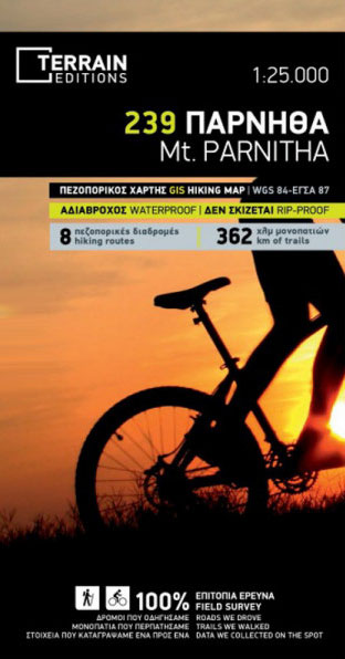
Mt. Parnitha at 1:25,000 in an expanding series of maps from Terrain Editions with information for hiking, biking, rock climbing, canyoning and trail running, printed on light, waterproof and tear-resistant plastic paper. The map covers an area of the Parnitha National Park extending across to Avlonas (N), Aghios Stephanos (E) and Acharnes (S). Contours are
Meteora 3D Anavasi 4.21
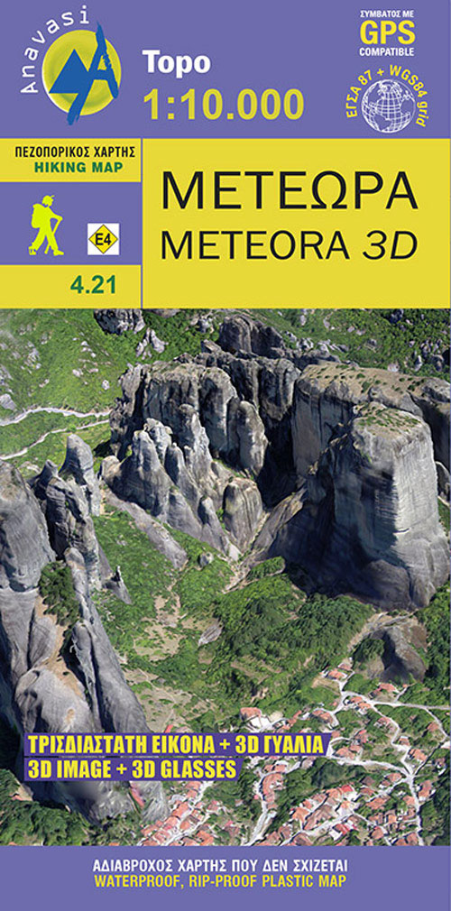
The hiking map of Meteora in scale 1:10 000 by Anavasi editions is a world first in the printed cartography with its the three-dimensional depiction. It comes with special glasses to let you wander back to Meteora even when you are no longer there.A monument of World Natural and Cultural Heritage of UNESCO, Meteora is


