Category Archives: Maps
Lammermuir Hills – Dalkeith, Bonnyrigg & Gifford OS Explorer Map 345 (paper)
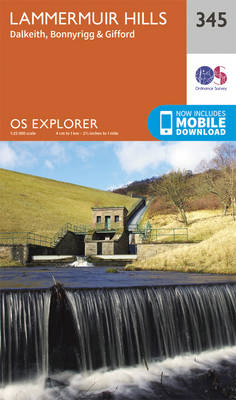
Lammermuir Hills, Dalkeith, Bonnyrigg and Gifford area on a detailed topographic and GPS compatible map No. 345, paper version, from the Ordnance Survey’s 1:25,000 Explorer series.MOBILE DOWNLOADS: this title and all the other OS Explorer maps include a code for downloading after purchase the digital version onto your smartphone or tablet for viewing on the
Berwick-upon-Tweed – Eyemouth, Duns, St Abb`s Head & Cockburnspath OS Explorer Map 346 (paper)
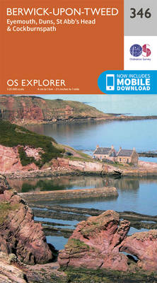
Berwick-upon-Tweed, Eyemouth, Duns, St Abb`s Head and Cockburnspath area on a detailed topographic and GPS compatible map No. 346, paper version, from the Ordnance Survey’s 1:25,000 Explorer series.MOBILE DOWNLOADS: this title and all the other OS Explorer maps include a code for downloading after purchase the digital version onto your smartphone or tablet for viewing
Moffat & St Mary`s Loch – Megget Reservoir OS Explorer Map 330 (paper)
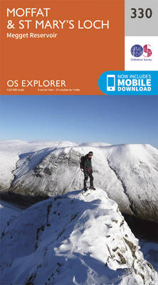
Moffat, St Mary`s Loch and Megget Reservoir area on a detailed topographic and GPS compatible map No. 330, paper version, from the Ordnance Survey’s 1:25,000 Explorer series. MOBILE DOWNLOADS: this title and all the other OS Explorer maps include a code for downloading after purchase the digital version onto your smartphone or tablet for viewing
Campsie Fells – Kilsyth, Strathblane & Fintry OS Explorer Map 348 (paper)
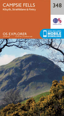
Campsie Fells, Kilsyth, Strathblane and Fintry area on a detailed topographic and GPS compatible map No. 348, paper version, from the Ordnance Survey’s 1:25,000 Explorer series.MOBILE DOWNLOADS: this title and all the other OS Explorer maps include a code for downloading after purchase the digital version onto your smartphone or tablet for viewing on the
Teviotdale South – Hawick OS Explorer Map 331 (paper)
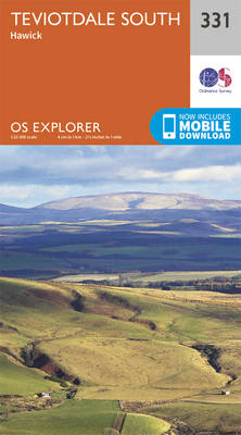
Teviotdale South – Hawick area on a detailed topographic and GPS compatible map No. 331, paper version, from the Ordnance Survey’s 1:25,000 Explorer series. MOBILE DOWNLOADS: this title and all the other OS Explorer maps include a code for downloading after purchase the digital version onto your smartphone or tablet for viewing on the OS
Falkirk, Cumbernauld & Livingstone – Linlithgow, Bathgate & Kilsyth OS Explorer Map 349 (paper)
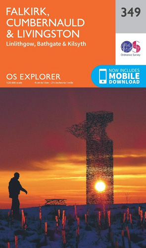
Falkirk, Cumbernauld, Livingstone, Linlithgow, Bathgate and Kilsyth area on a detailed topographic and GPS compatible map No. 349, paper version, from the Ordnance Survey’s 1:25,000 Explorer series. MOBILE DOWNLOADS: this title and all the other OS Explorer maps include a code for downloading after purchase the digital version onto your smartphone or tablet for viewing
Alnwick & Amble – Craster & Whittingham OS Explorer Map 332 (paper)
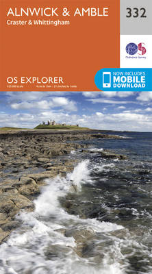
Alnwick, Amble, Craster and Whittingham area on a detailed topographic and GPS compatible map No. 332, paper version, from the Ordnance Survey’s 1:25,000 Explorer series.MOBILE DOWNLOADS: this title and all the other OS Explorer maps include a code for downloading after purchase the digital version onto your smartphone or tablet for viewing on the OS
Edinburgh – Musselburgh & Queensferry OS Explorer Map 350 (paper)
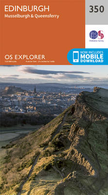
Edinburgh, Musselburgh and Queensferry area on a detailed topographic and GPS compatible map No. 350, paper version, from the Ordnance Survey’s 1:25,000 Explorer series.MOBILE DOWNLOADS: this title and all the other OS Explorer maps include a code for downloading after purchase the digital version onto your smartphone or tablet for viewing on the OS smartphone
Newcastle upon Tyne – Gateshead, South Shields, Prudhoe, Ponteland, Cramlington & Whitley Bay OS Explorer Map 316 (paper)

Newcastle upon Tyne, Gateshead, South Shields, Prudhoe, Ponteland, Cramlington and Whitley Bay area on a detailed topographic and GPS compatible map No. 316, paper version, from the Ordnance Survey’s 1:25,000 Explorer series. MOBILE DOWNLOADS: this title and all the other OS Explorer maps include a code for downloading after purchase the digital version onto your
Ballantrae, Barr & Barrhill OS Explorer Map 317 (paper)
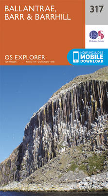
Ballantrae, Bar and Barrhill area on a detailed topographic and GPS compatible map No. 317, paper version, from the Ordnance Survey’s 1:25,000 Explorer series.MOBILE DOWNLOADS: this title and all the other OS Explorer maps include a code for downloading after purchase the digital version onto your smartphone or tablet for viewing on the OS smartphone
Galloway Forest Park North – Glen Trool, Loch Doon & St John`s Town of Dalry OS Explorer Map 318 (paper)
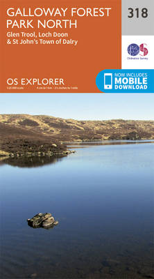
Galloway Forest Park North, Glen Trool, Loch Doon and St John`s Town of Dalry area on a detailed topographic and GPS compatible map No. 318, paper version, from the Ordnance Survey’s 1:25,000 Explorer series. MOBILE DOWNLOADS: this title and all the other OS Explorer maps include a code for downloading after purchase the digital version
Galloway Forest Park South – Glen Trool, Clatteringshaws Loch & Newton Stewart OS Explorer Map 319 (paper)
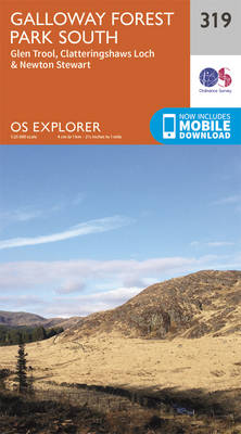
Galloway Forest Park South, Glen Trool, Clatteringshaws Loch and Newton Stewart area on a detailed topographic and GPS compatible map No. 319, paper version, from the Ordnance Survey’s 1:25,000 Explorer series.MOBILE DOWNLOADS: this title and all the other OS Explorer maps include a code for downloading after purchase the digital version onto your smartphone or
Castle Douglas, Loch Ken & New Galloway – St John`s Town of Dalry & Moniaive OS Explorer Map 320 (paper)
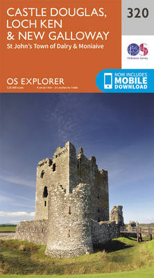
Castle Douglas, Loch Ken, New Galloway, St John`s Town of Dalry and Moniaive area on a detailed topographic and GPS compatible map No. 320, paper version, from the Ordnance Survey’s 1:25,000 Explorer series. MOBILE DOWNLOADS: this title and all the other OS Explorer maps include a code for downloading after purchase the digital version onto
Nithsdale, Dumfries & Thornhill OS Explorer Map 321 (paper)
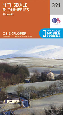
Nithsdale, Dumfries and Thornhill area on a detailed topographic and GPS compatible map No. 321, paper version, from the Ordnance Survey’s 1:25,000 Explorer series.MOBILE DOWNLOADS: this title and all the other OS Explorer maps include a code for downloading after purchase the digital version onto your smartphone or tablet for viewing on the OS smartphone
Annandale, Annan, Lockerbie & Beattock OS Explorer Map 322 (paper)
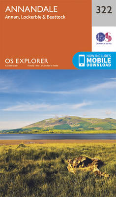
Annandale, Annan, Lockerbie and Beattock area on a detailed topographic and GPS compatible map No. 322, paper version, from the Ordnance Survey’s 1:25,000 Explorer series.MOBILE DOWNLOADS: this title and all the other OS Explorer maps include a code for downloading after purchase the digital version onto your smartphone or tablet for viewing on the OS
Eskdale & Castle O`er Forest – Langholm, Canonbie & Gretna Green OS Explorer Map 323 (paper)
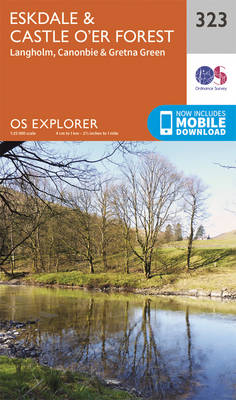
Eskdale, Castle O`er Forest, Langholm, Canonbie and Gretna Green area on a detailed topographic and GPS compatible map No. 323, paper version, from the Ordnance Survey’s 1:25,000 Explorer series.MOBILE DOWNLOADS: this title and all the other OS Explorer maps include a code for downloading after purchase the digital version onto your smartphone or tablet for
Morpeth & Blyth – Ashington & Longframlington OS Explorer Map 325 (paper)

Morpeth, Blyth, Ashington and Longframlington area on a detailed topographic and GPS compatible map No. 325, paper version, from the Ordnance Survey’s 1:25,000 Explorer series. MOBILE DOWNLOADS: this title and all the other OS Explorer maps include a code for downloading after purchase the digital version onto your smartphone or tablet for viewing on the
Stranraer & The Rhins OS Explorer Map 309 (paper)
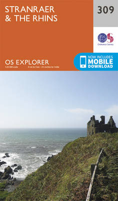
Stranraer and The Rhins area on a detailed topographic and GPS compatible map No. 309, paper version, from the Ordnance Survey’s 1:25,000 Explorer series.MOBILE DOWNLOADS: this title and all the other OS Explorer maps include a code for downloading after purchase the digital version onto your smartphone or tablet for viewing on the OS smartphone
Ayr & Troon – Girvan & Maybole OS Explorer Map 326 (paper)
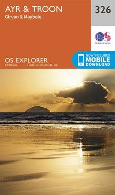
Ayr, Troon, Girvan and Maybole area on a detailed topographic and GPS compatible map No. 326, paper version, from the Ordnance Survey’s 1:25,000 Explorer series. MOBILE DOWNLOADS: this title and all the other OS Explorer maps include a code for downloading after purchase the digital version onto your smartphone or tablet for viewing on the
Glenluce & Kirkcowan OS Explorer Map 310 (paper)
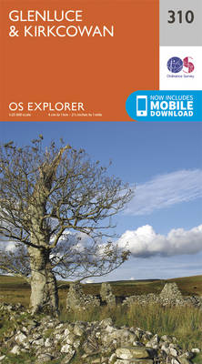
Glenluce and Kirkcowan area on a detailed topographic and GPS compatible map No. 310, paper version, from the Ordnance Survey’s 1:25,000 Explorer series. MOBILE DOWNLOADS: this title and all the other OS Explorer maps include a code for downloading after purchase the digital version onto your smartphone or tablet for viewing on the OS smartphone