Category Archives: Maps
Islay South: Port Ellen, Bowmore & Bridgend OS Explorer Map 352 (paper)
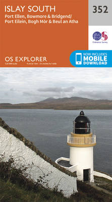
Islay South: Port Ellen, Bowmore and Bridgend area on a detailed topographic and GPS compatible map No. 352, paper version, from the Ordnance Survey’s 1:25,000 Explorer series.MOBILE DOWNLOADS: this title and all the other OS Explorer maps include a code for downloading after purchase the digital version onto your smartphone or tablet for viewing on
Coll & Tiree OS Explorer Map 372 (paper)
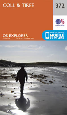
The islands of Coll and Tiree on a detailed topographic and GPS compatible map No. 372, paper version, from the Ordnance Survey’s 1:25,000 Explorer series.MOBILE DOWNLOADS: this title and all the other OS Explorer maps include a code for downloading after purchase the digital version onto your smartphone or tablet for viewing on the OS
Islay North: Port Askaig, Bridgend & Port Charlotte OS Explorer Map 353 (paper)
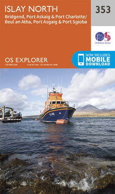
Islay North: Port Askaig, Bridgend and Port Charlotte area on a detailed topographic and GPS compatible map No. 353, paper version, from the Ordnance Survey’s 1:25,000 Explorer series. MOBILE DOWNLOADS: this title and all the other OS Explorer maps include a code for downloading after purchase the digital version onto your smartphone or tablet for
Iona, Staffa & Ross of Mull OS Explorer Map 373 (paper)
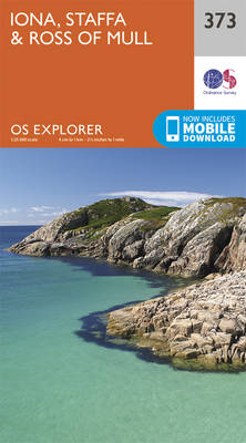
The islands of Iona and Staffa, plus the Ross of Mull on a detailed topographic and GPS compatible map No. 373, paper version, from the Ordnance Survey’s 1:25,000 Explorer series.MOBILE DOWNLOADS: this title and all the other OS Explorer maps include a code for downloading after purchase the digital version onto your smartphone or tablet
Colonsay & Oronsay OS Explorer Map 354 (paper)
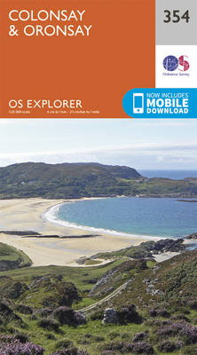
The islands of Colonsay and Oronsay on a detailed topographic and GPS compatible map No. 354, paper version, from the Ordnance Survey’s 1:25,000 Explorer series. MOBILE DOWNLOADS: this title and all the other OS Explorer maps include a code for downloading after purchase the digital version onto your smartphone or tablet for viewing on the
Isle of Mull North & Tobermory – Ulva, Staffa & Treshnish Isles OS Explorer Map 374 (paper)

The northern part of Mull with Tobermory, plus Ulva, Staffa and the Treshnish Isles on a detailed topographic and GPS compatible map No. 374, paper version, from the Ordnance Survey’s 1:25,000 Explorer series. MOBILE DOWNLOADS: this title and all the other OS Explorer maps include a code for downloading after purchase the digital version onto
Jura & Scarba OS Explorer Map 355 (paper)
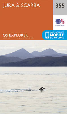
The islands of Jura and Scarba on a detailed topographic and GPS compatible map No. 355, paper version, from the Ordnance Survey’s 1:25,000 Explorer series.MOBILE DOWNLOADS: this title and all the other OS Explorer maps include a code for downloading after purchase the digital version onto your smartphone or tablet for viewing on the OS
Isle of Mull East – Craignure OS Explorer Map 375 (paper)
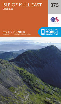
The eastern part of Mull with Craignure on a detailed topographic and GPS compatible map No. 375, paper version, from the Ordnance Survey’s 1:25,000 Explorer series. MOBILE DOWNLOADS: this title and all the other OS Explorer maps include a code for downloading after purchase the digital version onto your smartphone or tablet for viewing on
Galashiels, Selkirk & Melrose – St Boswell`s & Lauder OS Explorer Map 338 (paper)
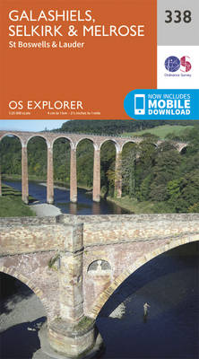
Galashiels, Selkirk, Melrose, St Boswell`s and Lauder area on a detailed topographic and GPS compatible map No. 338, paper version, from the Ordnance Survey’s 1:25,000 Explorer series. MOBILE DOWNLOADS: this title and all the other OS Explorer maps include a code for downloading after purchase the digital version onto your smartphone or tablet for viewing
Kelso, Coldstream & Lower Tweed Valley OS Explorer Map 339 (paper)
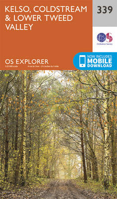
Kelso, Coldstream and Lower Tweed Valley area on a detailed topographic and GPS compatible map No. 339, paper version, from the Ordnance Survey’s 1:25,000 Explorer series. MOBILE DOWNLOADS: this title and all the other OS Explorer maps include a code for downloading after purchase the digital version onto your smartphone or tablet for viewing on
Greenock, Largs & Millport – Clyde Muirshiel Regional Park OS Explorer Map 341 (paper)
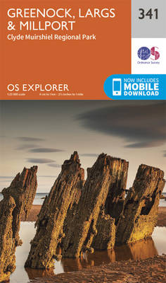
Greenock, Largs, Millport and Clyde Muirshiel Regional Park area on a detailed topographic and GPS compatible map No. 341, paper version, from the Ordnance Survey’s 1:25,000 Explorer series. MOBILE DOWNLOADS: this title and all the other OS Explorer maps include a code for downloading after purchase the digital version onto your smartphone or tablet for
Glasgow – Paisley, Rutherglen & Kirkintilloch OS Explorer Map 342 (paper)

Glasgow, Paisley, Rutherglen and Kirkintilloch area on a detailed topographic and GPS compatible map No. 342, paper version, from the Ordnance Survey’s 1:25,000 Explorer series.MOBILE DOWNLOADS: this title and all the other OS Explorer maps include a code for downloading after purchase the digital version onto your smartphone or tablet for viewing on the OS
Motherwell & Coatbridge – Whitburn & Carluke OS Explorer Map 343 (paper)
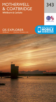
Motherwell, Coatbridge, Whitburn and Carluke area on a detailed topographic and GPS compatible map No. 343, paper version, from the Ordnance Survey’s 1:25,000 Explorer series. MOBILE DOWNLOADS: this title and all the other OS Explorer maps include a code for downloading after purchase the digital version onto your smartphone or tablet for viewing on the
Pentland Hills – Penicuik & West Linton OS Explorer Map 344 (paper)
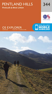
Pentland Hills, Penicuik and West Linton area on a detailed topographic and GPS compatible map No. 344, paper version, from the Ordnance Survey’s 1:25,000 Explorer series.MOBILE DOWNLOADS: this title and all the other OS Explorer maps include a code for downloading after purchase the digital version onto your smartphone or tablet for viewing on the
Lammermuir Hills – Dalkeith, Bonnyrigg & Gifford OS Explorer Map 345 (paper)
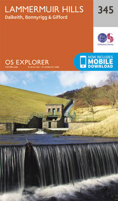
Lammermuir Hills, Dalkeith, Bonnyrigg and Gifford area on a detailed topographic and GPS compatible map No. 345, paper version, from the Ordnance Survey’s 1:25,000 Explorer series.MOBILE DOWNLOADS: this title and all the other OS Explorer maps include a code for downloading after purchase the digital version onto your smartphone or tablet for viewing on the
Berwick-upon-Tweed – Eyemouth, Duns, St Abb`s Head & Cockburnspath OS Explorer Map 346 (paper)
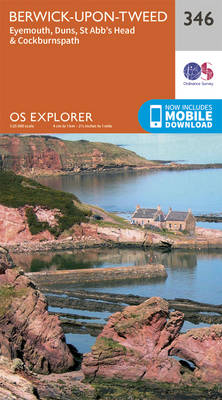
Berwick-upon-Tweed, Eyemouth, Duns, St Abb`s Head and Cockburnspath area on a detailed topographic and GPS compatible map No. 346, paper version, from the Ordnance Survey’s 1:25,000 Explorer series.MOBILE DOWNLOADS: this title and all the other OS Explorer maps include a code for downloading after purchase the digital version onto your smartphone or tablet for viewing
Moffat & St Mary`s Loch – Megget Reservoir OS Explorer Map 330 (paper)
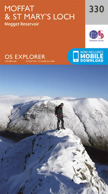
Moffat, St Mary`s Loch and Megget Reservoir area on a detailed topographic and GPS compatible map No. 330, paper version, from the Ordnance Survey’s 1:25,000 Explorer series. MOBILE DOWNLOADS: this title and all the other OS Explorer maps include a code for downloading after purchase the digital version onto your smartphone or tablet for viewing
Campsie Fells – Kilsyth, Strathblane & Fintry OS Explorer Map 348 (paper)
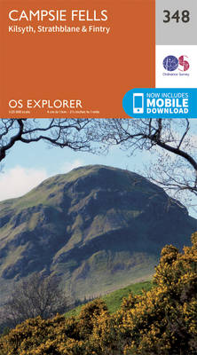
Campsie Fells, Kilsyth, Strathblane and Fintry area on a detailed topographic and GPS compatible map No. 348, paper version, from the Ordnance Survey’s 1:25,000 Explorer series.MOBILE DOWNLOADS: this title and all the other OS Explorer maps include a code for downloading after purchase the digital version onto your smartphone or tablet for viewing on the
Teviotdale South – Hawick OS Explorer Map 331 (paper)
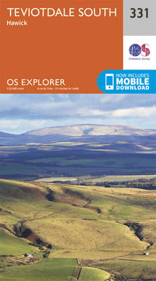
Teviotdale South – Hawick area on a detailed topographic and GPS compatible map No. 331, paper version, from the Ordnance Survey’s 1:25,000 Explorer series. MOBILE DOWNLOADS: this title and all the other OS Explorer maps include a code for downloading after purchase the digital version onto your smartphone or tablet for viewing on the OS
Falkirk, Cumbernauld & Livingstone – Linlithgow, Bathgate & Kilsyth OS Explorer Map 349 (paper)
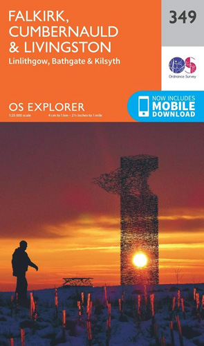
Falkirk, Cumbernauld, Livingstone, Linlithgow, Bathgate and Kilsyth area on a detailed topographic and GPS compatible map No. 349, paper version, from the Ordnance Survey’s 1:25,000 Explorer series. MOBILE DOWNLOADS: this title and all the other OS Explorer maps include a code for downloading after purchase the digital version onto your smartphone or tablet for viewing