Category Archives: Maps
Rum, Eigg, Muck, Canna & Sanday OS Explorer Map 397 (paper)
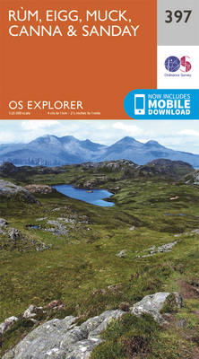
The islands of Rum, Eigg, Muck, Canna and Sanday on a detailed topographic and GPS compatible map No. 397, paper version, from the Ordnance Survey’s 1:25,000 Explorer series.MOBILE DOWNLOADS: this title and all the other OS Explorer maps include a code for downloading after purchase the digital version onto your smartphone or tablet for viewing
Loch Morar & Mallaig OS Explorer Map 398 (paper)

Loch Morar and Mallaig area on a detailed topographic and GPS compatible map No. 398, paper version, from the Ordnance Survey’s 1:25,000 Explorer series.MOBILE DOWNLOADS: this title and all the other OS Explorer maps include a code for downloading after purchase the digital version onto your smartphone or tablet for viewing on the OS smartphone
Oban & North Lorn – Benderloch, Lismore & Loch Creran OS Explorer Map 376 (paper)
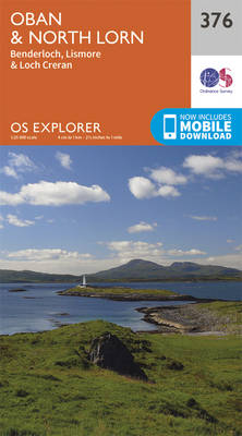
Oban, North Lorn, Benderloch, Lismore and Loch Creran area on a detailed topographic and GPS compatible map No. 376, paper version, from the Ordnance Survey’s 1:25,000 Explorer series. MOBILE DOWNLOADS: this title and all the other OS Explorer maps include a code for downloading after purchase the digital version onto your smartphone or tablet for
Loch Arkaig – Fort William, Corpach – Gairlochy, Achnacarry & Kingie OS Explorer Map 399 (paper)
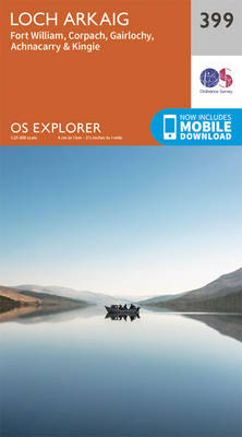
Loch Arkaig, Fort William, Corpach, Gairlochy, Achnacarry and Kingie area on a detailed topographic and GPS compatible map No. 399, paper version, from the Ordnance Survey’s 1:25,000 Explorer series.MOBILE DOWNLOADS: this title and all the other OS Explorer maps include a code for downloading after purchase the digital version onto your smartphone or tablet for
Loch Etive & Glen Orchy – Dalmally, Tyndrum, Bridge of Orchy & Taynuilt OS Explorer Map 377 (paper)
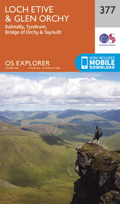
Loch Etive, Glen Orchy, Dalmally, Tyndrum, Bridge of Orchy and Taynuilt area on a detailed topographic and GPS compatible map No. 377, paper version, from the Ordnance Survey’s 1:25,000 Explorer series.MOBILE DOWNLOADS: this title and all the other OS Explorer maps include a code for downloading after purchase the digital version onto your smartphone or
Loch Lochy & Glen Roy – Spean Bridge, Invergarry & Fort Augustus OS Explorer Map 400 (paper)
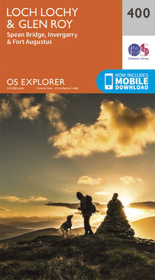
Loch Lochy, Glen Roy, Spean Bridge, Invergarry and Fort Augustus area on a detailed topographic and GPS compatible map No. 400, paper version, from the Ordnance Survey’s 1:25,000 Explorer series. MOBILE DOWNLOADS: this title and all the other OS Explorer maps include a code for downloading after purchase the digital version onto your smartphone or
Dunkeld, Aberfeldy & Glen Almond OS Explorer Map 379 (paper)

Dunkeld, Aberfeldy and Glen Almond area on a detailed topographic and GPS compatible map No. 379, paper version, from the Ordnance Survey’s 1:25,000 Explorer series. MOBILE DOWNLOADS: this title and all the other OS Explorer maps include a code for downloading after purchase the digital version onto your smartphone or tablet for viewing on the
Aberdeen & Banchory OS Explorer Map 406 (paper)
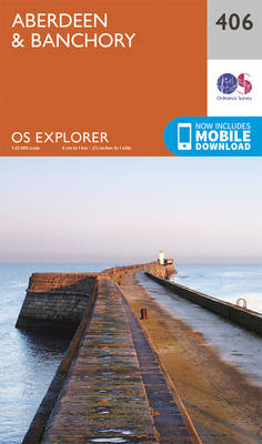
Aberdeen and Banchory area on a detailed topographic and GPS compatible map No. 406, paper version, from the Ordnance Survey’s 1:25,000 Explorer series.MOBILE DOWNLOADS: this title and all the other OS Explorer maps include a code for downloading after purchase the digital version onto your smartphone or tablet for viewing on the OS smartphone app.OS
Oban, Kerrera & Loch Melfort – The Garvellachs OS Explorer Map 359 (paper)
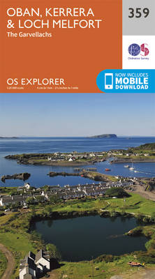
Oban, Kerrera and Loch Melfor area on a detailed topographic and GPS compatible map No. 359, paper version, from the Ordnance Survey’s 1:25,000 Explorer series.MOBILE DOWNLOADS: this title and all the other OS Explorer maps include a code for downloading after purchase the digital version onto your smartphone or tablet for viewing on the OS
Loch Awe & Inveraray – Dalmally, Dalavich & Furnace OS Explorer Map 360 (paper)
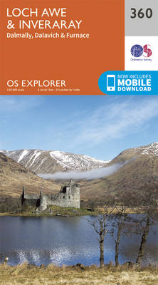
Loch Awe, Inveraray, Dalmally, Dalavich and Furnace area on a detailed topographic and GPS compatible map No. 360, paper version, from the Ordnance Survey’s 1:25,000 Explorer series.MOBILE DOWNLOADS: this title and all the other OS Explorer maps include a code for downloading after purchase the digital version onto your smartphone or tablet for viewing on
Isle of Arran OS Explorer Map 361 (paper)
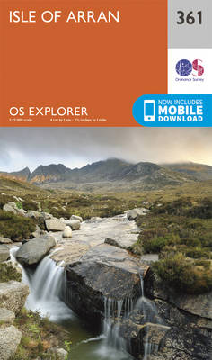
The Isle of Arran on a detailed topographic and GPS compatible map No. 361, paper version, from the Ordnance Survey’s 1:25,000 Explorer series.MOBILE DOWNLOADS: this title and all the other OS Explorer maps include a code for downloading after purchase the digital version onto your smartphone or tablet for viewing on the OS smartphone app.OS
Cowal West & Isle of Bute – Rothesay OS Explorer Map 362 (paper)
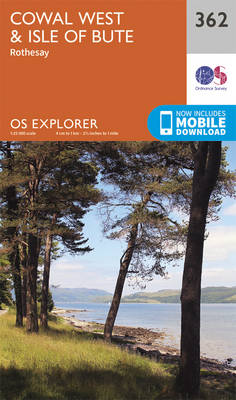
West Cowal and the Isle of Bute on a detailed topographic and GPS compatible map No. 362, paper version, from the Ordnance Survey’s 1:25,000 Explorer series. MOBILE DOWNLOADS: this title and all the other OS Explorer maps include a code for downloading after purchase the digital version onto your smartphone or tablet for viewing on
Stirling & Ochil Hills West – Alloa & Dunblane OS Explorer Map 366 (paper)
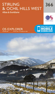
Stirling, Ochil Hills West, Alloa and Dunblane area on a detailed topographic and GPS compatible map No. 366, paper version, from the Ordnance Survey’s 1:25,000 Explorer series. MOBILE DOWNLOADS: this title and all the other OS Explorer maps include a code for downloading after purchase the digital version onto your smartphone or tablet for viewing
Dunfermline, Kirkcaldy & Glenrothes South – Methil & Culross OS Explorer Map 367 (paper)
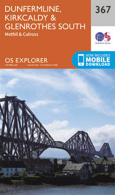
Dunfermline, Kirkcaldy, Glenrothes South, Methil and Culross area on a detailed topographic and GPS compatible map No. 367, paper version, from the Ordnance Survey’s 1:25,000 Explorer series. MOBILE DOWNLOADS: this title and all the other OS Explorer maps include a code for downloading after purchase the digital version onto your smartphone or tablet for viewing
Perth & Kinross – Ochil Hills East & Loch Leven OS Explorer Map 369 (paper)
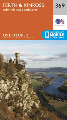
Perth, Kinross, Ochil Hills East and Loch Leven area on a detailed topographic and GPS compatible map No. 369, paper version, from the Ordnance Survey’s 1:25,000 Explorer series. MOBILE DOWNLOADS: this title and all the other OS Explorer maps include a code for downloading after purchase the digital version onto your smartphone or tablet for
Glenrothes North, Falkland & Lomond Hills – Auchtermuchty & Cupar OS Explorer Map 370 (paper)
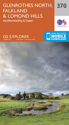
Glenrothes North, Falkland, Lomond Hills, Auchtermuchty and Cupar area on a detailed topographic and GPS compatible map No. 370, paper version, from the Ordnance Survey’s 1:25,000 Explorer series. MOBILE DOWNLOADS: this title and all the other OS Explorer maps include a code for downloading after purchase the digital version onto your smartphone or tablet for
St Andrews & East Fife – Cupar, Anstruther & Crail OS Explorer Map 371 (paper)
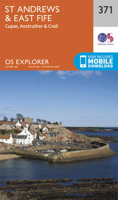
St Andrews, East Fife, Cupar, Anstruther and Crail area on a detailed topographic and GPS compatible map No. 371, paper version, from the Ordnance Survey’s 1:25,000 Explorer series. MOBILE DOWNLOADS: this title and all the other OS Explorer maps include a code for downloading after purchase the digital version onto your smartphone or tablet for
Islay South: Port Ellen, Bowmore & Bridgend OS Explorer Map 352 (paper)
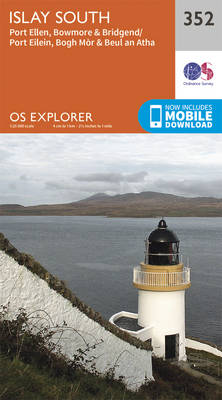
Islay South: Port Ellen, Bowmore and Bridgend area on a detailed topographic and GPS compatible map No. 352, paper version, from the Ordnance Survey’s 1:25,000 Explorer series.MOBILE DOWNLOADS: this title and all the other OS Explorer maps include a code for downloading after purchase the digital version onto your smartphone or tablet for viewing on
Coll & Tiree OS Explorer Map 372 (paper)
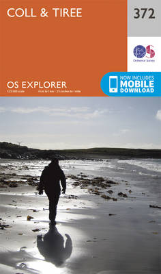
The islands of Coll and Tiree on a detailed topographic and GPS compatible map No. 372, paper version, from the Ordnance Survey’s 1:25,000 Explorer series.MOBILE DOWNLOADS: this title and all the other OS Explorer maps include a code for downloading after purchase the digital version onto your smartphone or tablet for viewing on the OS
Islay North: Port Askaig, Bridgend & Port Charlotte OS Explorer Map 353 (paper)
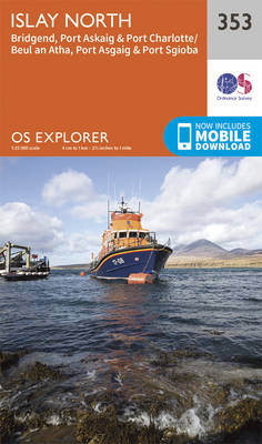
Islay North: Port Askaig, Bridgend and Port Charlotte area on a detailed topographic and GPS compatible map No. 353, paper version, from the Ordnance Survey’s 1:25,000 Explorer series. MOBILE DOWNLOADS: this title and all the other OS Explorer maps include a code for downloading after purchase the digital version onto your smartphone or tablet for