Category Archives: Maps
Loch Monar, Glen Cannich & Strathfarrar OS Explorer Map 430 (paper)
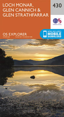
Loch Monar, Glen Cannich and Glen Strathfarrar area on a detailed topographic and GPS compatible map No. 430, paper version, from the Ordnance Survey’s 1:25,000 Explorer series. MOBILE DOWNLOADS: this title and all the other OS Explorer maps include a code for downloading after purchase the digital version onto your smartphone or tablet for viewing
Skye: Sleat – Broadford, Kyleakin & Armadale OS Explorer Map 412 (paper)
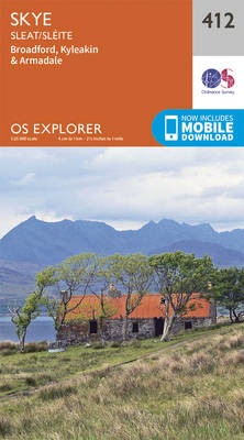
Skye: Sleat, Broadford, Kyleakin and Armadale area on a detailed topographic and GPS compatible map No. 412, paper version, from the Ordnance Survey’s 1:25,000 Explorer series.MOBILE DOWNLOADS: this title and all the other OS Explorer maps include a code for downloading after purchase the digital version onto your smartphone or tablet for viewing on the
Knoydart, Loch Hourn & Loch Duich – Kyle of Lochalsh OS Explorer Map 413 (paper)
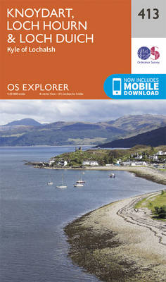
Knoydart, Loch Hourn, Loch Duich and Kyle of Lochalsh area on a detailed topographic and GPS compatible map No. 413, paper version, from the Ordnance Survey’s 1:25,000 Explorer series. MOBILE DOWNLOADS: this title and all the other OS Explorer maps include a code for downloading after purchase the digital version onto your smartphone or tablet
Glen Shiel & Kintail Forest – Shiel Bridge, Morvich, Killilan & Kinloch Hourn OS Explorer Map 414 (paper)
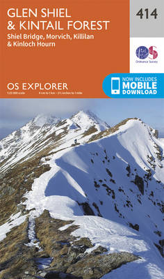
Glen Shiel, Kintail Forest, Shiel Bridge, Morvich, Killilan and Kinloch Hourn area on a detailed topographic and GPS compatible map No. 414, paper version, from the Ordnance Survey’s 1:25,000 Explorer series. MOBILE DOWNLOADS: this title and all the other OS Explorer maps include a code for downloading after purchase the digital version onto your smartphone
Glen Affric & Glen Moriston – Cannich OS Explorer Map 415 (paper)
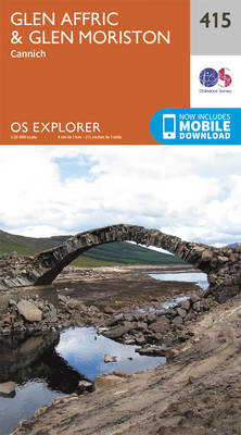
Glen Affric, Glen Moriston and Cannich area on a detailed topographic and GPS compatible map No. 415, paper version, from the Ordnance Survey’s 1:25,000 Explorer series. MOBILE DOWNLOADS: this title and all the other OS Explorer maps include a code for downloading after purchase the digital version onto your smartphone or tablet for viewing on
Inverness, Loch Ness & Culloden – Fort Augustus & Drumnadrochit OS Explorer Map 416 (paper)
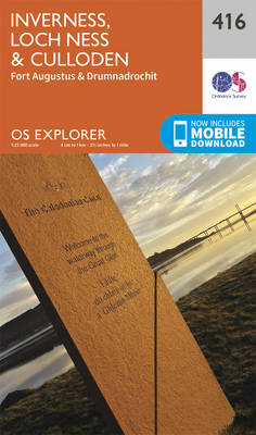
Inverness, Loch Ness, Culloden, Fort Augustus and Drumnadrochit area on a detailed topographic and GPS compatible map No. 416, paper version, from the Ordnance Survey’s 1:25,000 Explorer series.MOBILE DOWNLOADS: this title and all the other OS Explorer maps include a code for downloading after purchase the digital version onto your smartphone or tablet for viewing
Monadhliath Mountains North & Strathdearn OS Explorer 417 (paper)
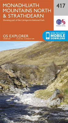
Monadhliath Mountains North and Strathdearn area on a detailed topographic and GPS compatible map No. 417, paper version, from the Ordnance Survey’s 1:25,000 Explorer series. MOBILE DOWNLOADS: this title and all the other OS Explorer maps include a code for downloading after purchase the digital version onto your smartphone or tablet for viewing on the
Ellon & Inverurie – Oldmeldrum & Pitmedden OS Explorer Map 421 (paper)
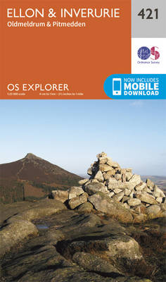
Ellon, Inverurie, Oldmeldrum and Pitmedden area on a detailed topographic and GPS compatible map No. 421, paper version, from the Ordnance Survey’s 1:25,000 Explorer series. MOBILE DOWNLOADS: this title and all the other OS Explorer maps include a code for downloading after purchase the digital version onto your smartphone or tablet for viewing on the
Loch Morar & Mallaig OS Explorer Map 398 (paper)
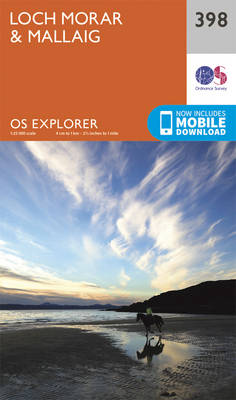
Loch Morar and Mallaig area on a detailed topographic and GPS compatible map No. 398, paper version, from the Ordnance Survey’s 1:25,000 Explorer series.MOBILE DOWNLOADS: this title and all the other OS Explorer maps include a code for downloading after purchase the digital version onto your smartphone or tablet for viewing on the OS smartphone
Oban & North Lorn – Benderloch, Lismore & Loch Creran OS Explorer Map 376 (paper)
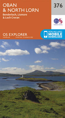
Oban, North Lorn, Benderloch, Lismore and Loch Creran area on a detailed topographic and GPS compatible map No. 376, paper version, from the Ordnance Survey’s 1:25,000 Explorer series. MOBILE DOWNLOADS: this title and all the other OS Explorer maps include a code for downloading after purchase the digital version onto your smartphone or tablet for
Loch Arkaig – Fort William, Corpach – Gairlochy, Achnacarry & Kingie OS Explorer Map 399 (paper)
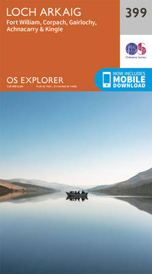
Loch Arkaig, Fort William, Corpach, Gairlochy, Achnacarry and Kingie area on a detailed topographic and GPS compatible map No. 399, paper version, from the Ordnance Survey’s 1:25,000 Explorer series.MOBILE DOWNLOADS: this title and all the other OS Explorer maps include a code for downloading after purchase the digital version onto your smartphone or tablet for
Loch Etive & Glen Orchy – Dalmally, Tyndrum, Bridge of Orchy & Taynuilt OS Explorer Map 377 (paper)
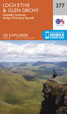
Loch Etive, Glen Orchy, Dalmally, Tyndrum, Bridge of Orchy and Taynuilt area on a detailed topographic and GPS compatible map No. 377, paper version, from the Ordnance Survey’s 1:25,000 Explorer series.MOBILE DOWNLOADS: this title and all the other OS Explorer maps include a code for downloading after purchase the digital version onto your smartphone or
Loch Lochy & Glen Roy – Spean Bridge, Invergarry & Fort Augustus OS Explorer Map 400 (paper)
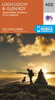
Loch Lochy, Glen Roy, Spean Bridge, Invergarry and Fort Augustus area on a detailed topographic and GPS compatible map No. 400, paper version, from the Ordnance Survey’s 1:25,000 Explorer series. MOBILE DOWNLOADS: this title and all the other OS Explorer maps include a code for downloading after purchase the digital version onto your smartphone or
Dunkeld, Aberfeldy & Glen Almond OS Explorer Map 379 (paper)
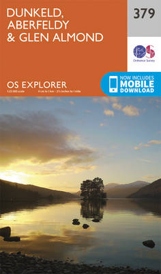
Dunkeld, Aberfeldy and Glen Almond area on a detailed topographic and GPS compatible map No. 379, paper version, from the Ordnance Survey’s 1:25,000 Explorer series. MOBILE DOWNLOADS: this title and all the other OS Explorer maps include a code for downloading after purchase the digital version onto your smartphone or tablet for viewing on the
Aberdeen & Banchory OS Explorer Map 406 (paper)
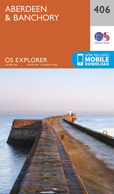
Aberdeen and Banchory area on a detailed topographic and GPS compatible map No. 406, paper version, from the Ordnance Survey’s 1:25,000 Explorer series.MOBILE DOWNLOADS: this title and all the other OS Explorer maps include a code for downloading after purchase the digital version onto your smartphone or tablet for viewing on the OS smartphone app.OS
Dundee & Sidlaw Hills OS Explorer Map 380 (paper)
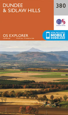
Dundee and the Sidlaw Hills area on a detailed topographic and GPS compatible map No. 380, paper version, from the Ordnance Survey’s 1:25,000 Explorer series.MOBILE DOWNLOADS: this title and all the other OS Explorer maps include a code for downloading after purchase the digital version onto your smartphone or tablet for viewing on the OS
Skye: Dunvegan – Waternish & Macleod`s Tables OS Explorer Map 407 (paper)
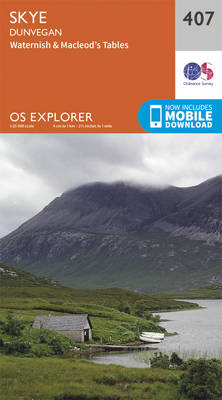
Skye: Dunvegan, Waternish and Macleod`s Tables area on a detailed topographic and GPS compatible map No. 407, paper version, from the Ordnance Survey’s 1:25,000 Explorer series. MOBILE DOWNLOADS: this title and all the other OS Explorer maps include a code for downloading after purchase the digital version onto your smartphone or tablet for viewing on
Blairgowrie, Kirriemuir & Glamis – Strathmore West OS Explorer Map 381 (paper)
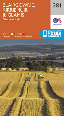
Blairgowrie, Kirriemuir, Glamis and Strathmore West area on a detailed topographic and GPS compatible map No. 381, paper version, from the Ordnance Survey’s 1:25,000 Explorer series.MOBILE DOWNLOADS: this title and all the other OS Explorer maps include a code for downloading after purchase the digital version onto your smartphone or tablet for viewing on the
Arbroath, Montrose & Carnoustie – Laurencekirk OS Explorer Map 382 (paper)
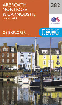
Arbroath, Montrose, Carnoustie and Laurencekirk area on a detailed topographic and GPS compatible map No. 382, paper version, from the Ordnance Survey’s 1:25,000 Explorer series. MOBILE DOWNLOADS: this title and all the other OS Explorer maps include a code for downloading after purchase the digital version onto your smartphone or tablet for viewing on the
Morvern & Lochaline – Kingairloch OS Explorer Map 383 (paper)
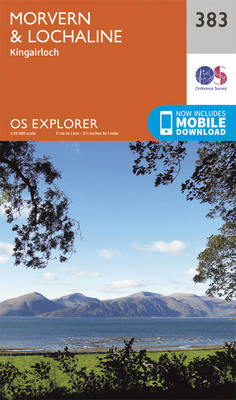
Morvern, Lochaline and Kingairloch area on a detailed topographic and GPS compatible map No. 383, paper version, from the Ordnance Survey’s 1:25,000 Explorer series. MOBILE DOWNLOADS: this title and all the other OS Explorer maps include a code for downloading after purchase the digital version onto your smartphone or tablet for viewing on the OS