Category Archives: Maps
Brecon Beacons Eastern OS Explorer Active Map OL13 (waterproof)

The eastern part of the Brecon Beacons National Park on a detailed topographic and GPS compatible map OL13, waterproof version, from the Ordnance Survey’s 1:25,000 Explorer series. Coverage includes Tredegar, Ebbw Vale, Abergavenny, Hay-on-Wye, the Black Mountains, Llangorse Lake, Sugar Loaf, Black Hill, Hay Bluff, sections of the Offa’s Dyke National Trail, the Usk Valley
Purbeck & South Dorset – Poole, Dorchester – Weymouth & Swanage OS Explorer Active Map OL15 (waterproof)

Purbeck and the southern part of Dorset on a detailed topographic and GPS compatible map OL15, waterproof version, from the Ordnance Survey’s 1:25,000 Explorer series. Coverage extends from Poole and Swanage in the east to Bridport in the west, and includes Dorchester, Tolpuddle, Bere Regis, Wareham, Weymouth, Chesil Beach, Portland Bill, the final section of
Cheviot Hills – Jedburgh & Wooler OS Explorer Active Map OL16 (waterproof)

The Cheviot Hills on a detailed topographic and GPS compatible map OL16, waterproof version, from the Ordnance Survey’s 1:25,000 Explorer series. Coverage includes Jedburgh, Woolmer, part of the Northumberland National Park, the peaks of The Cheviot, Corby Pike, Cold Law, Scrathy Holes and Windy Gyle, Catcleugh Reservoir, sections of the Pennine Way National Trail, St
South Devon – Brixham to Newton Ferrers OS Explorer Active Map OL20 (waterproof)

The coast of South Devon on a detailed topographic and GPS compatible map OL20, waterproof version, from the Ordnance Survey’s 1:25,000 Explorer series. The map extends westwards beyond Newton Ferrers to Plymouth, eastwards beyond Brixham to Torquay, and inland to include part of the Dartmoor National Park. Coverage includes Paignton, Totness, Dartmouth, Salcombe, Ivybridge, sections
South Pennines: Burnley, Hebden Bridge, Keighley & Todmorden OS Explorer Active Map OL21 (waterproof)
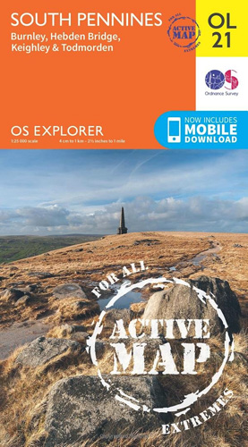
The southern part of the Pennines on a detailed topographic and GPS compatible map OL21, waterproof version, from the Ordnance Survey’s 1:25,000 Explorer series. The map covers an area between Burney and Halifax, extending north to Skipton and Horton. Coverage includes Littleborough, Sowerby Bridge, Todmorden, Haworth, Nelson, Bernoldswick, the peak of Lad Law and part
Eastbourne & Beachy Head – Newhaven, Seaford, Hailsham & Heathfield OS Explorer Active Map 123 (waterproof)
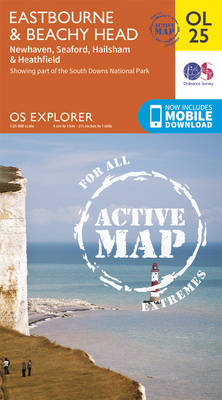
Eastbourne & Beachy Head area of Sussex on a detailed topographic and GPS compatible map No. 123, waterproof version, from the Ordnance Survey’s 1:25,000 Explorer series. Coverage along the coast extends westwards from Pevensey and the Pevensey Levels to Newhaven, inland to Heathfield and Uckfield, and includes Birling Gap, the Seven Sisters coastline, Alfriston and
North York Moors Western OS Explorer Active Map OL26 (waterproof)
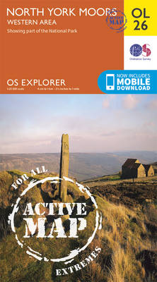
The western part of the North York Moors National Park on a detailed topographic and GPS compatible map OL26, waterproof version, from the Ordnance Survey’s 1:25,000 Explorer series. Coverage extends from Ampleforth in the south northwards to Saltburn-by-the-Sea, and from Ingleby Arncliffe to Danby, Castleton and Hutton-le-Hole, and includes Rievaulx, Helmsley, Fangdale Beck, Maltby, Guisborough,
North York Moors Eastern OS Explorer Active Map OL27 (waterproof)
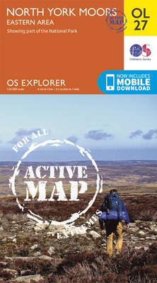
The eastern part of the North York Moors National Park on a detailed topographic and GPS compatible map OL27, waterproof version, from the Ordnance Survey’s 1:25,000 Explorer series. Coverage along the coast extends from Scarborough across Robin Hood’s Bay and Whitby to beyond Staithnes, inland to Danby, Rosedale Moor and Hartoft End, and includes Pickering,
North Uist & Berneray OS Explorer Map 454 (paper)
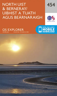
North Uist, Berneray and the surrounding smaller islands on a detailed topographic and GPS compatible map No. 454, paper version, from the Ordnance Survey’s 1:25,000 Explorer series. MOBILE DOWNLOADS: this title and all the other OS Explorer maps include a code for downloading after purchase the digital version onto your smartphone or tablet for viewing
Shetland: Unst, Yell & Fetlar OS Explorer Map 470 (paper)
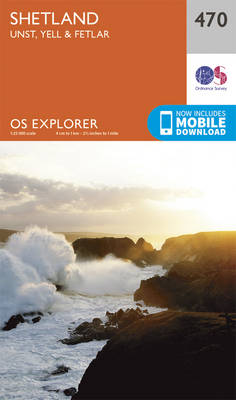
Shetland: Unst, Yell and Fetlar with the nearby smaller islands on a detailed topographic and GPS compatible map No. 470, paper version, from the Ordnance Survey’s 1:25,000 Explorer series. MOBILE DOWNLOADS: this title and all the other OS Explorer maps include a code for downloading after purchase the digital version onto your smartphone or tablet
South Harris – Taransay OS Explorer Map 455 (paper)
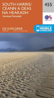
South Harris, Taransay and the surrounding smaller islands on a detailed topographic and GPS compatible map No. 455, paper version, from the Ordnance Survey’s 1:25,000 Explorer series.MOBILE DOWNLOADS: this title and all the other OS Explorer maps include a code for downloading after purchase the digital version onto your smartphone or tablet for viewing on
North Harris & Loch Seaforth OS Explorer Map 456 (paper)
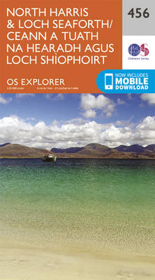
North Harris with Loch Seaforth and the surrounding smaller islands on a detailed topographic and GPS compatible map No. 456, paper version, from the Ordnance Survey’s 1:25,000 Explorer series.MOBILE DOWNLOADS: this title and all the other OS Explorer maps include a code for downloading after purchase the digital version onto your smartphone or tablet for
South East Lewis – Loch Eireasort & Shiant Islands OS Explorer Map 457 (paper)
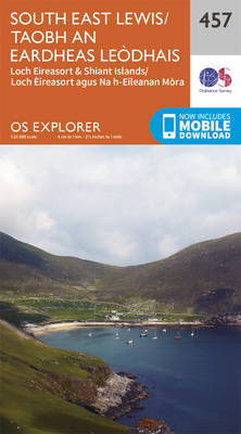
South East Lewis with Loch Eireasort and the Shiant Islands on a detailed topographic and GPS compatible map No. 457, paper version, from the Ordnance Survey’s 1:25,000 Explorer series. MOBILE DOWNLOADS: this title and all the other OS Explorer maps include a code for downloading after purchase the digital version onto your smartphone or tablet
West Lewis – Callanish & Great Bernera OS Explorer Map 458 (paper)
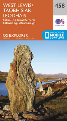
West Lewis with Callanish and Great Bernera on a detailed topographic and GPS compatible map No. 458, paper version, from the Ordnance Survey’s 1:25,000 Explorer series. MOBILE DOWNLOADS: this title and all the other OS Explorer maps include a code for downloading after purchase the digital version onto your smartphone or tablet for viewing on
Central Lewis & Stornoway – Eye Peninsula & Callanish OS Explorer Map 459 (paper)
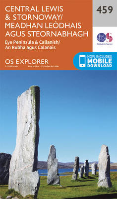
Central Lewis with Stornoway, Eye Peninsula and Callanish on a detailed topographic and GPS compatible map No. 459, paper version, from the Ordnance Survey’s 1:25,000 Explorer series. MOBILE DOWNLOADS: this title and all the other OS Explorer maps include a code for downloading after purchase the digital version onto your smartphone or tablet for viewing
North Lewis – St Kilda & Flannan Isles OS Explorer Map 460 (paper)
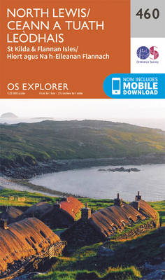
North Lewis with St Kilda and the Flannan Isles on a detailed topographic and GPS compatible map No. 460, paper version, from the Ordnance Survey’s 1:25,000 Explorer series.MOBILE DOWNLOADS: this title and all the other OS Explorer maps include a code for downloading after purchase the digital version onto your smartphone or tablet for viewing
Orkney: East Mainland – South Ronaldsay, Shapinsay & Kirkwall OS Explorer Map 461 (paper)
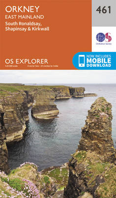
Orkney: East Mainland with Kirkwall, plus South Ronaldsay, Shapinsay and the nearby islands on a detailed topographic and GPS compatible map No. 461, paper version, from the Ordnance Survey’s 1:25,000 Explorer series. MOBILE DOWNLOADS: this title and all the other OS Explorer maps include a code for downloading after purchase the digital version onto your
Orkney: Hoy, South Walls & Flotta OS Explorer Map 462 (paper)
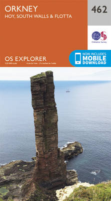
Orkney: Hoy, South Walls and Flotta with the nearby islands and part of Mainland on a detailed topographic and GPS compatible map No. 462, paper version, from the Ordnance Survey’s 1:25,000 Explorer series. MOBILE DOWNLOADS: this title and all the other OS Explorer maps include a code for downloading after purchase the digital version onto
Orkney: West Mainland – Stromness & Graemsay OS Explorer Map 463 (paper)
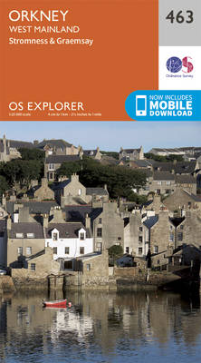
Orkney: the western part of Mainland with Stromness, plus the island of Graemsay on a detailed topographic and GPS compatible map No. 463, paper version, from the Ordnance Survey’s 1:25,000 Explorer series. MOBILE DOWNLOADS: this title and all the other OS Explorer maps include a code for downloading after purchase the digital version onto your
Orkney: Westray, Papa Westray, Rousay, Egilsay & Wyre OS Explorer Map 464 (paper)
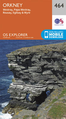
Orkney: the islands of Westray, Papa Westray, Rousay, Egilsay and Wyre with the nearby smaller islands on a detailed topographic and GPS compatible map No. 464, paper version, from the Ordnance Survey’s 1:25,000 Explorer series.MOBILE DOWNLOADS: this title and all the other OS Explorer maps include a code for downloading after purchase the digital version